 ,
trailhead parking lot at
Sharon Mills
(updated in 2024); see also the maps at
trailforks.com
,
trailhead parking lot at
Sharon Mills
(updated in 2024); see also the maps at
trailforks.com
 (JPG),
mill area
(JPG),
mill area  (JPG)
,
Sharon Mills
(supplementary info )
,
trailhead parking lot at
Sharon Mills
(updated in 2024); see also the maps at
trailforks.com
(JPG),
mill area (JPG)
,
Sharon Mills
(supplementary info )
(JPG)
,
Sharon Mills
(supplementary info )
,
trailhead parking lot at
Sharon Mills
(updated in 2024); see also the maps at
trailforks.com
(JPG),
mill area (JPG)
,
Sharon Mills
(supplementary info )
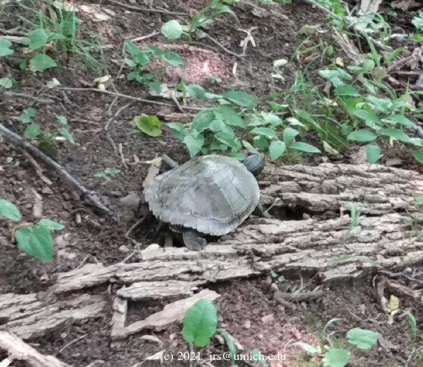
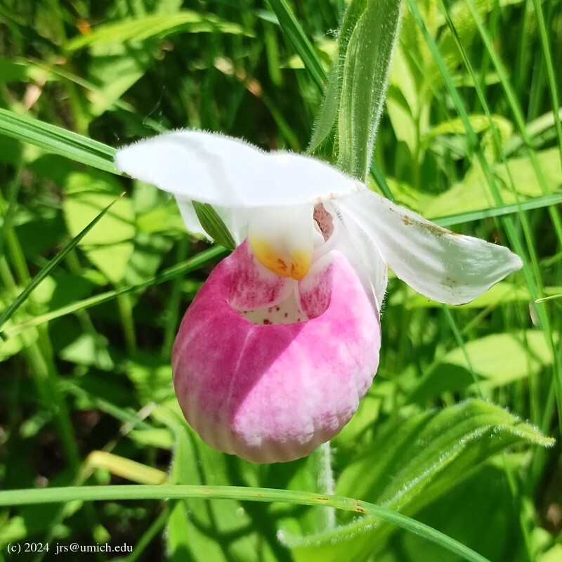
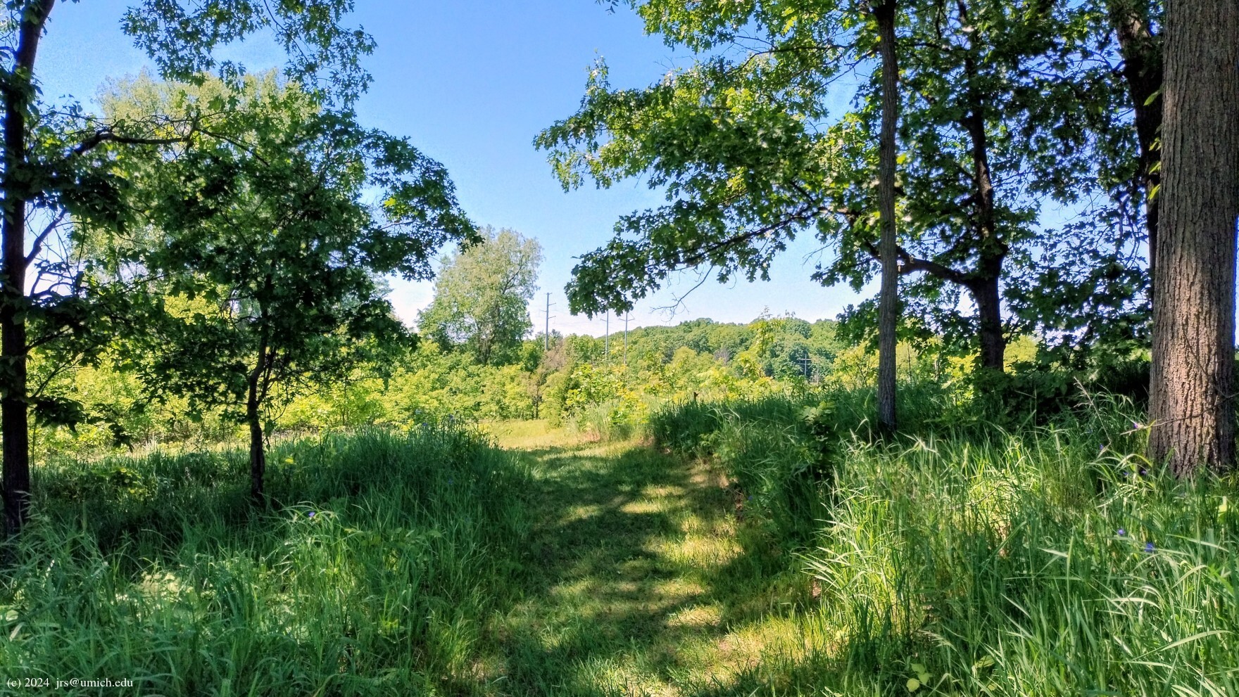
Photos from the Nan Weston Preserve:

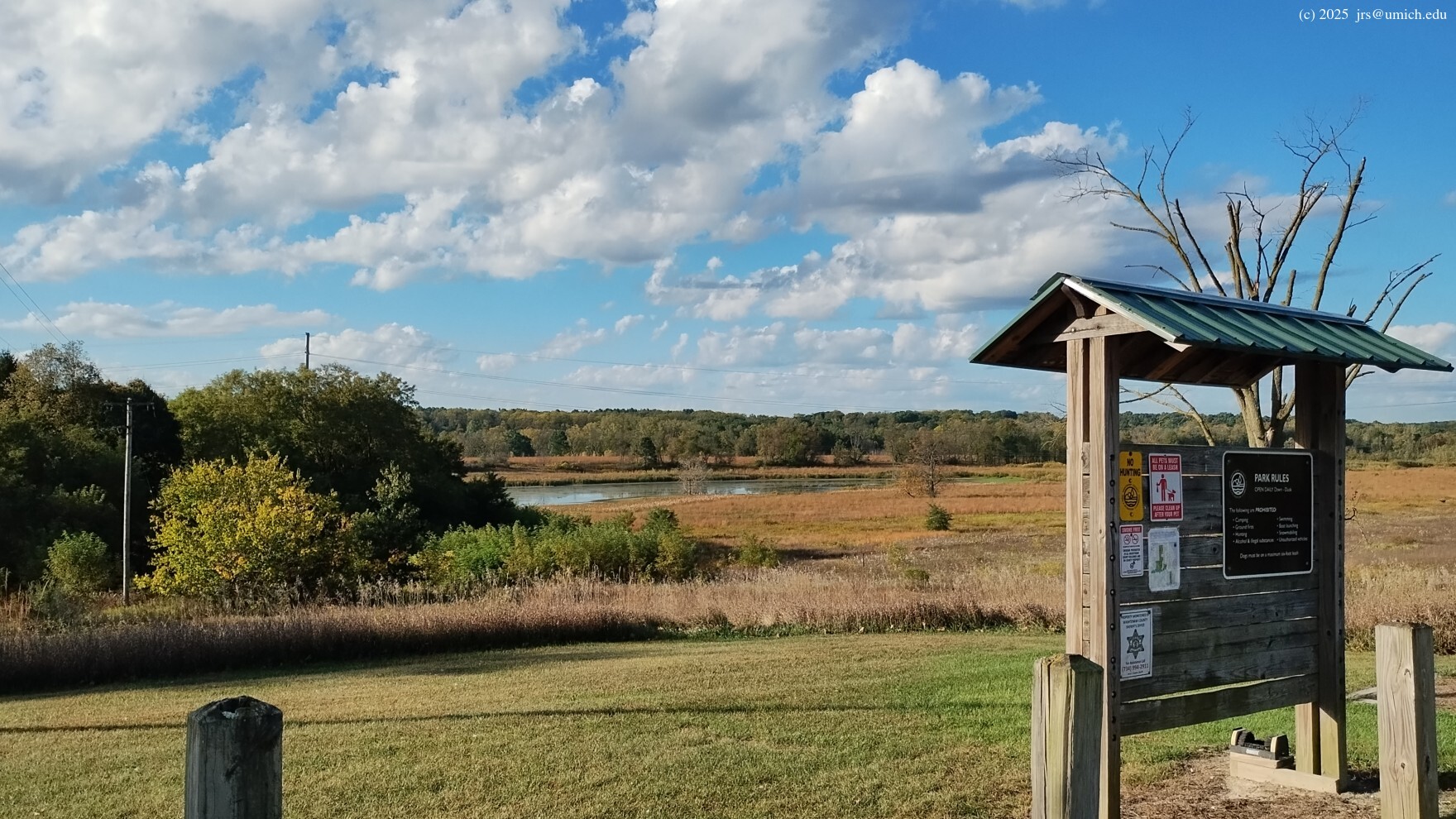
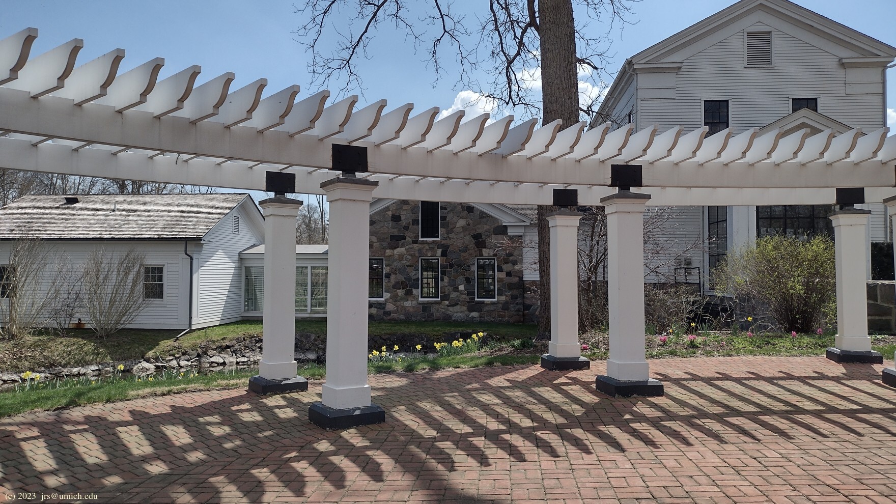
Photos from Sharon Mills Park:
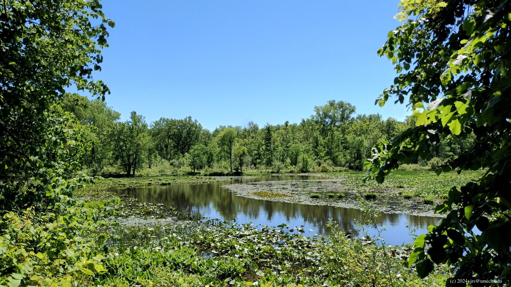


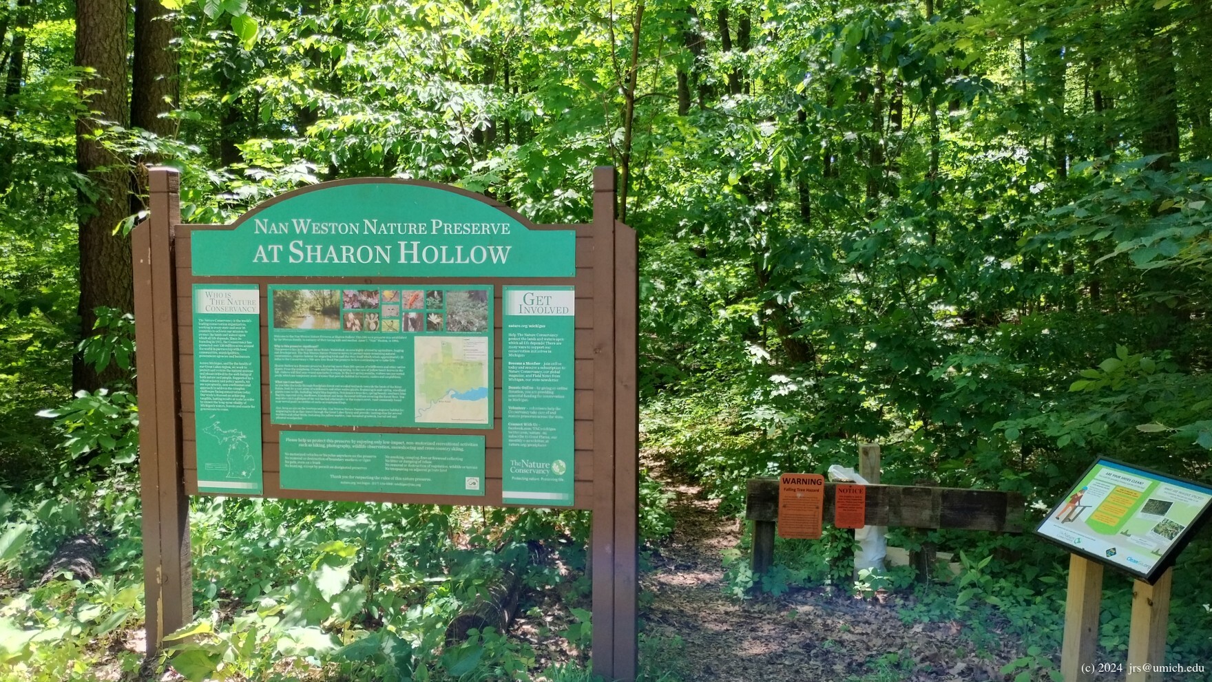
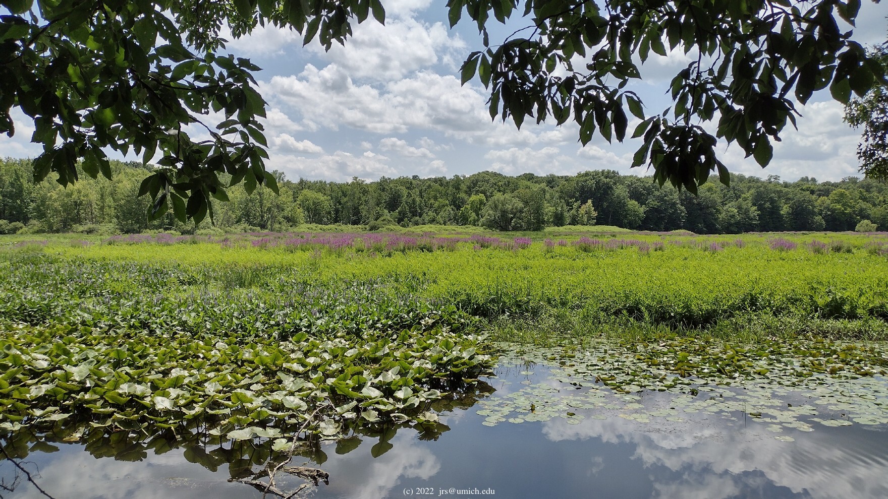
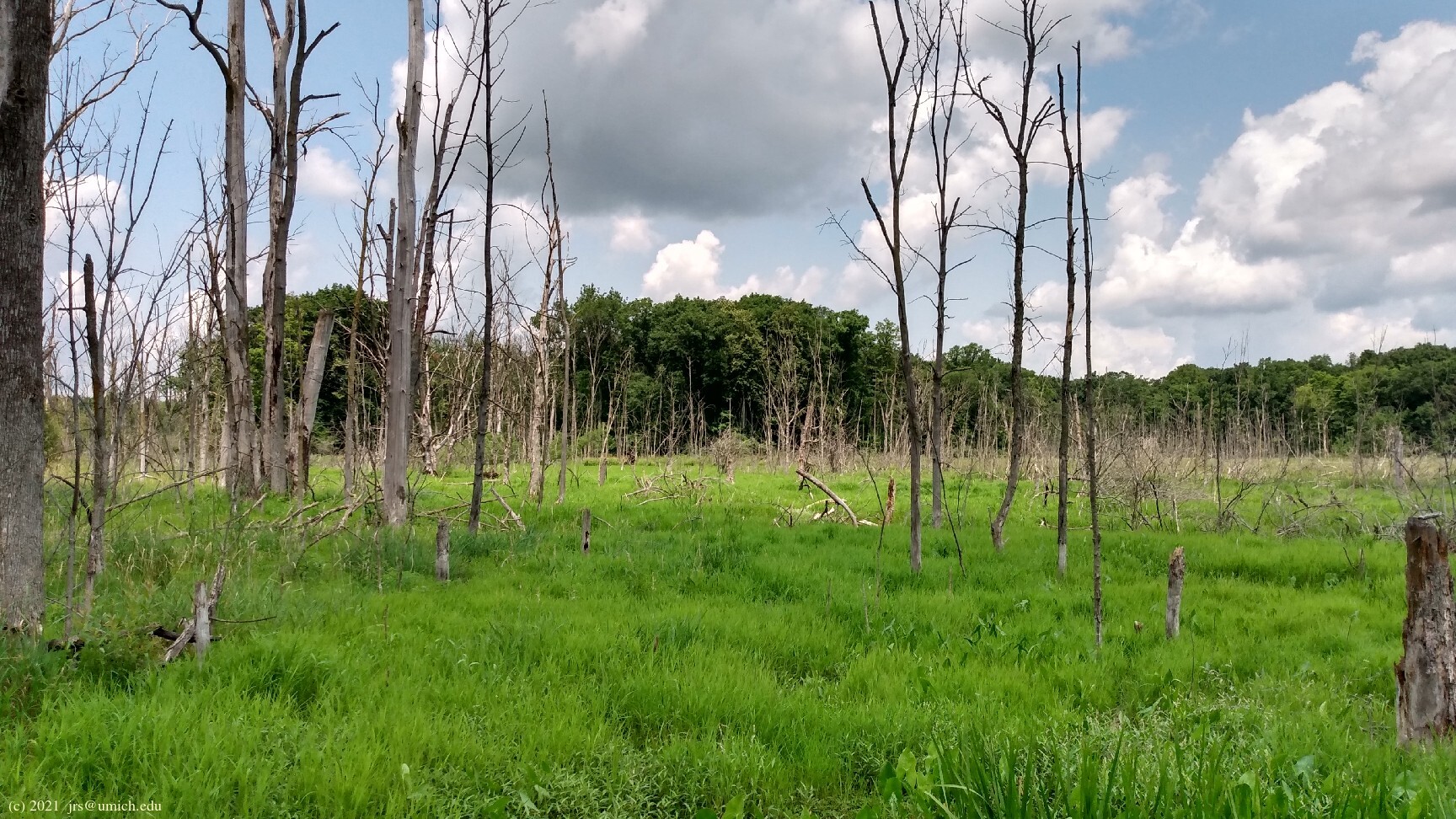
The Nan Weston Nature Preserve at Sharon Hollow is a large parcel of land on the north side of the River Raisin near Manchester. It features wetlands and a dense floodplain forest that provide a habitat supporting a wide variety of wildflowers and aquatic birds.
Adjacent to the preserve is Sharon Mills County Park, which features a former grist mill (restored and functioning as a museum), a picnic area, and canoe access to the River Raisin. For hikers, the main attraction of the park is a network of multi-use biking/hiking trails that wander through open fields and along wooded areas near the river.
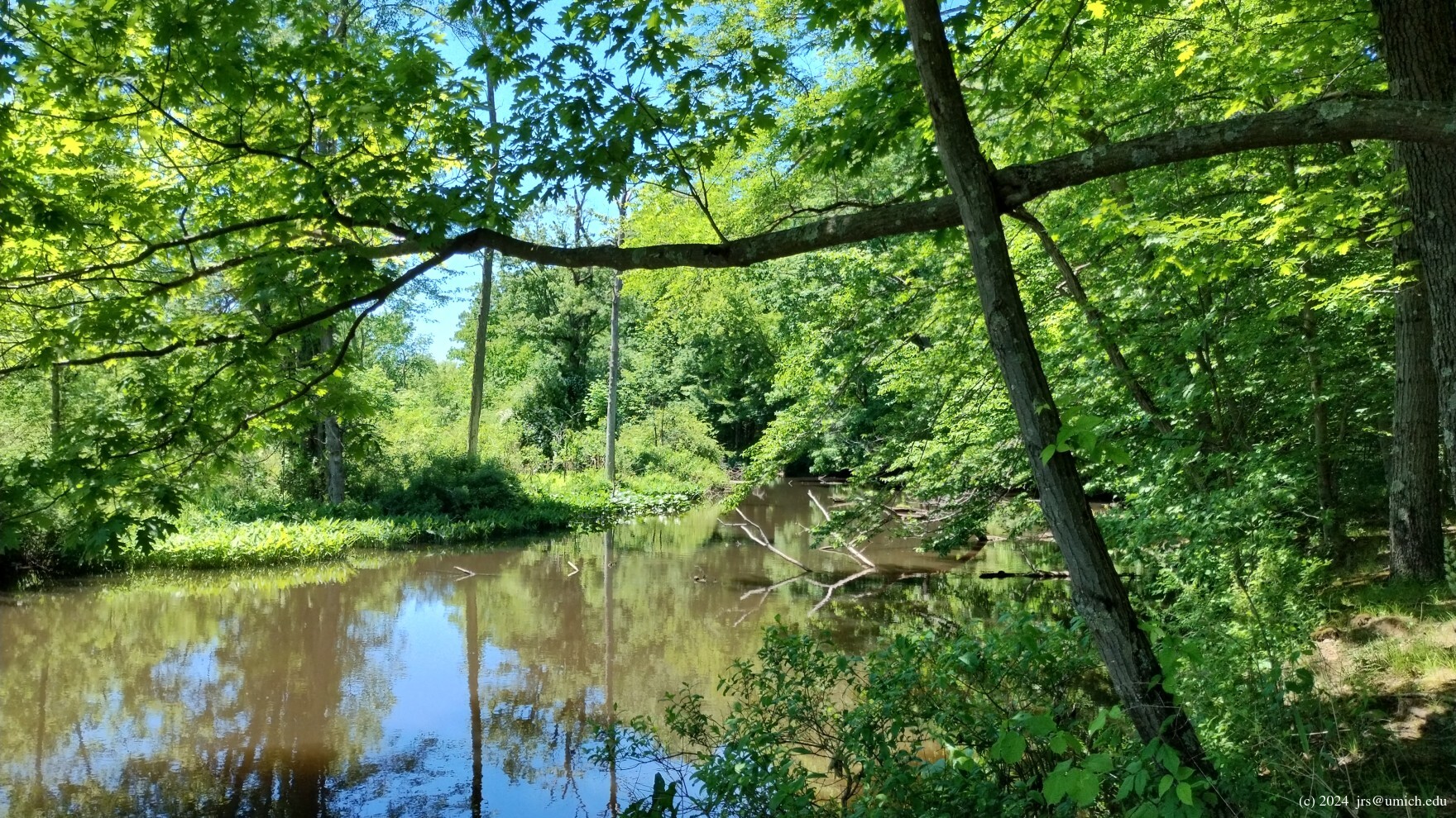
There are two trail segments running east-west that connect the Nan Weston Preserve and Sharon Mills: a southern route that runs along the north bank of the River Raisin, and a northern route that takes you deep into the floodplain woods.
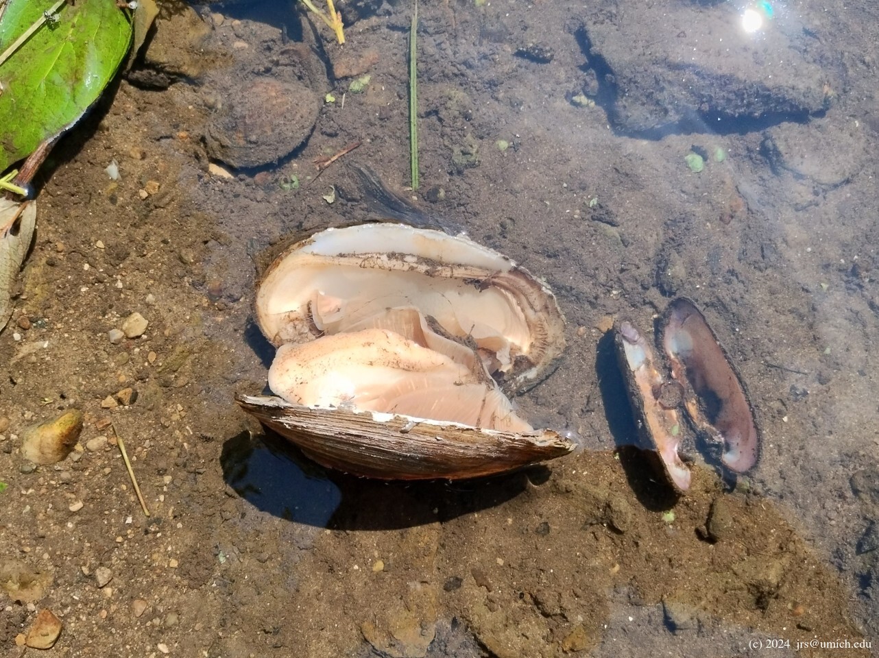
The southern route seems to provide the best opportunities for
spotting wildlife. While hiking this trail, I've encountered herons,
muskrats, rabbits,
turtles ,
an
opossum ,
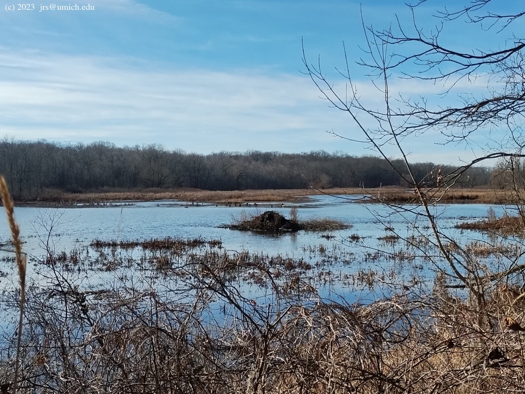
a possible
beaver lodge ,
and
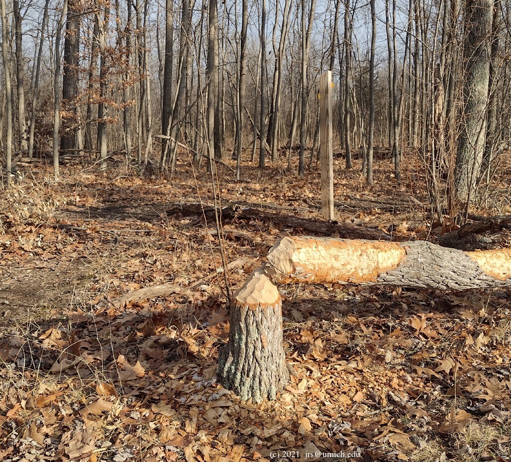
other evidence
of the presence of beavers.
Waterfowl are often busy here and in the ponds north of the river
on the Sharon Mills side. During the Spring of 2021, part of the
trail was closed to protect an area where herons were nesting.
This
blog post
has an interesting discussion of beavers and muskrats in
southeast Michigan.
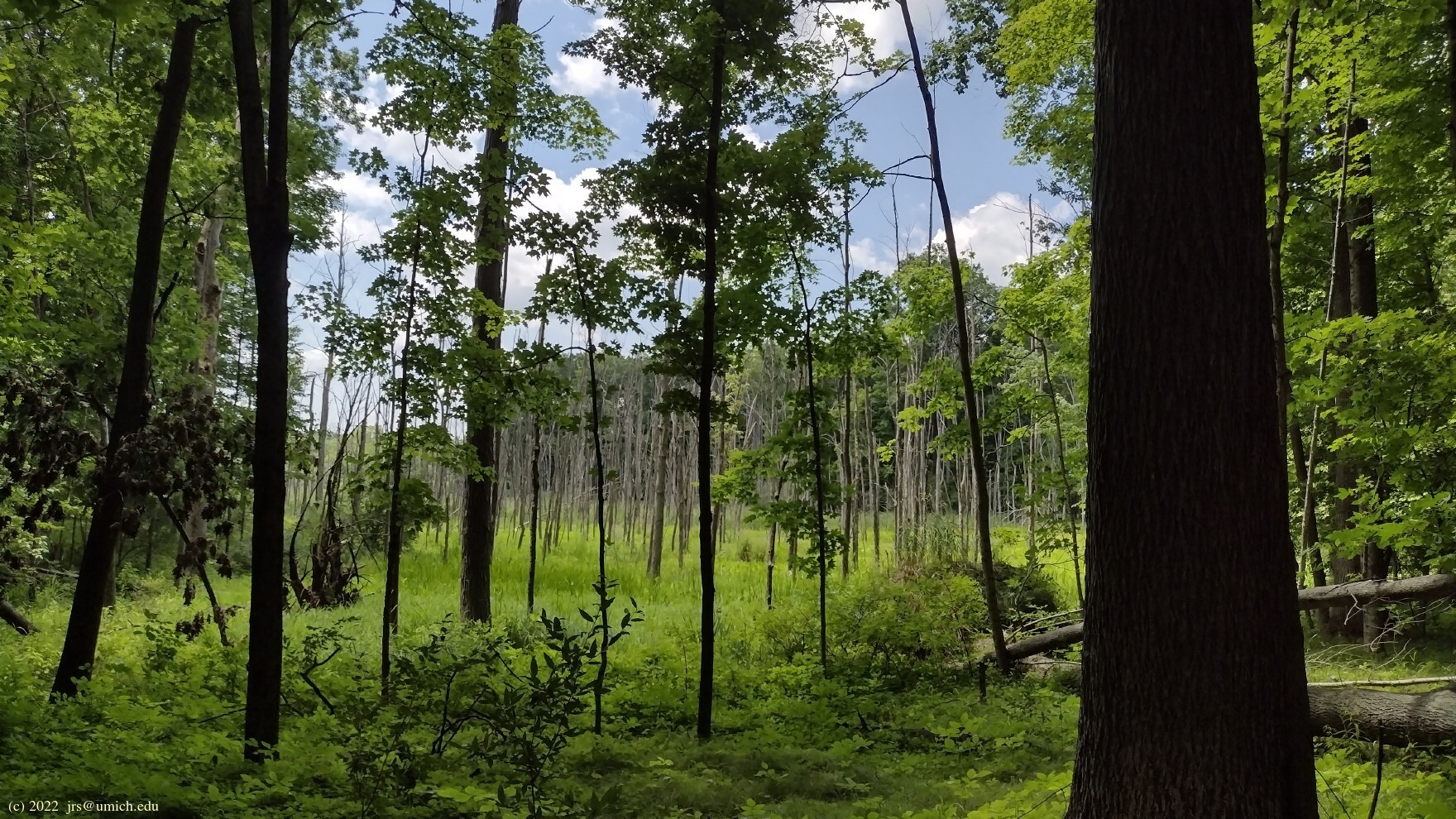
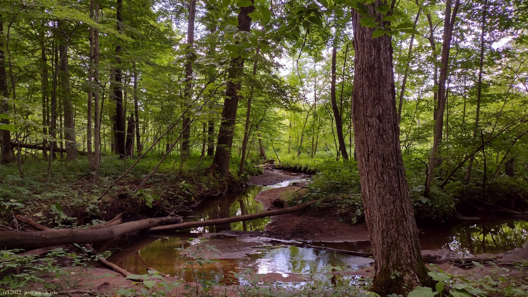
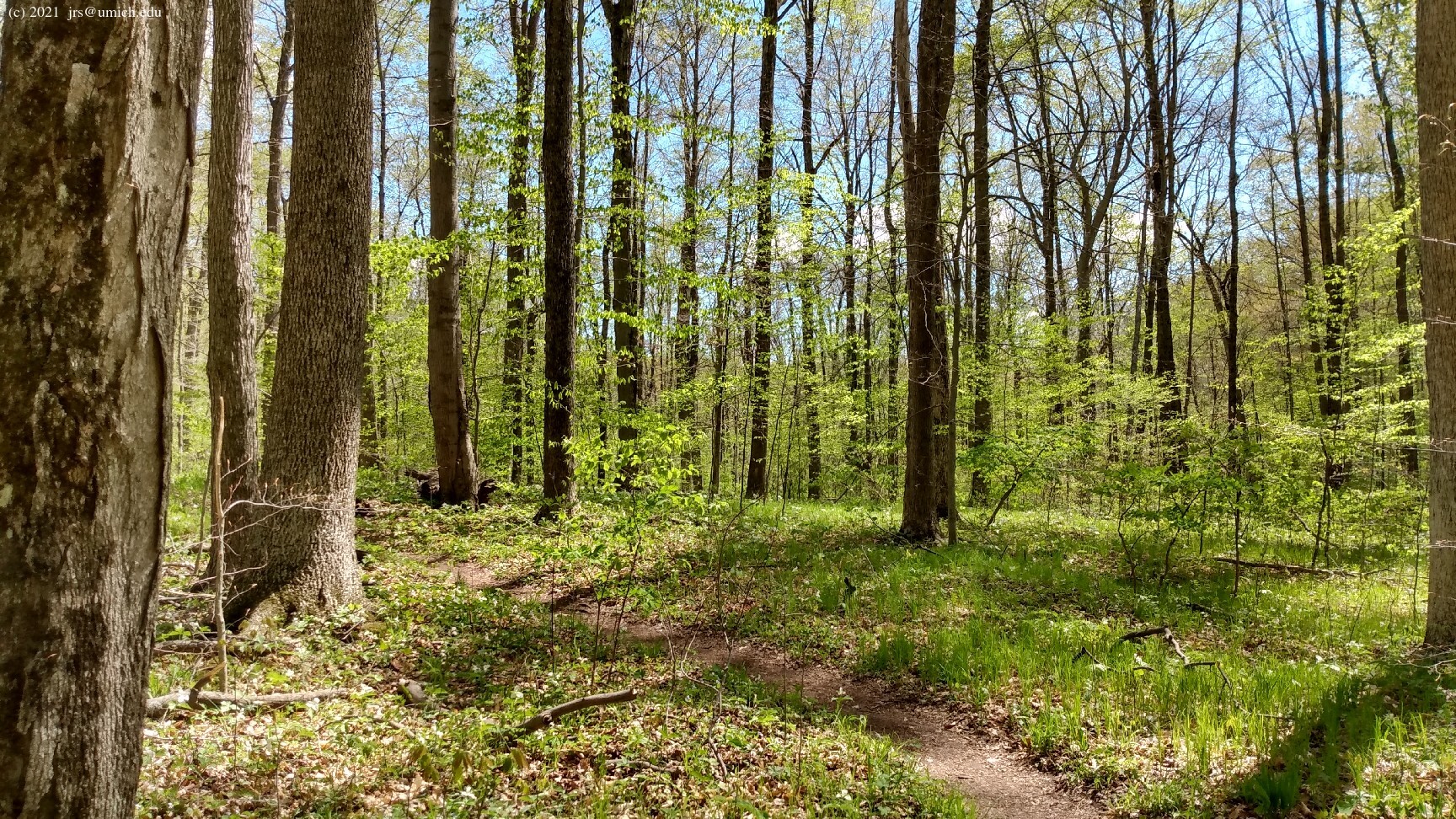
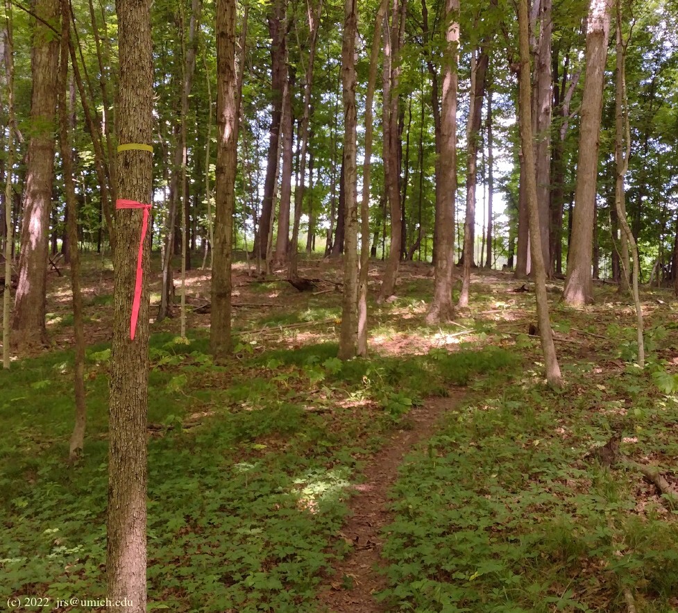
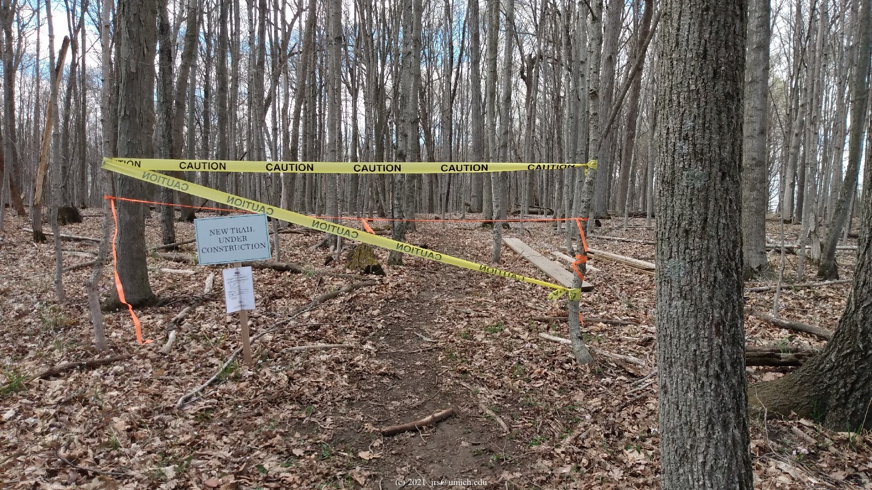
The 3/4 mile northern route is a trail that has been under construction (or perhaps renovation) for some time. It is shown on the Weston Preserve trail map, the trailforks.com map, and now (after the latest updates) on the OpenStreetMap. There are bits of hardware and lumber stashed at various points on the trail suggesting that the intent is to increase the accessibility of the route to match the level found elsewhere in the preserve.
Even in its unfinished state, my experience has been that
the trail is easy to navigate with the aid of the
colored ribbons
that mark the way. However, do keep in mind that the floodplain
landscape here is a bit wilder than the rest of the preserve.
There is a spot or two where you may need to work your way around
standing water, as well as a stream crossing that requires the use
of a haphazard bridge formed by a jumble of fallen trees.
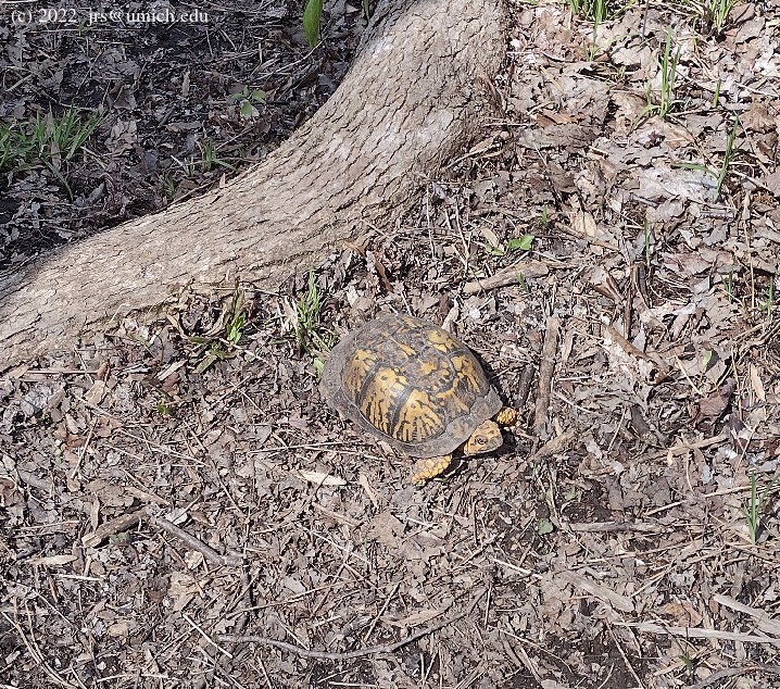
I have frequently spotted deer in this area, and on one occasion, a
box turtle .
Update 1 (Summer 2022):
Although the
warning signs and caution tape
at the eastern end of the route have been taken down,
they are still present at the western end.
It is clear that the trail is still unfinished.
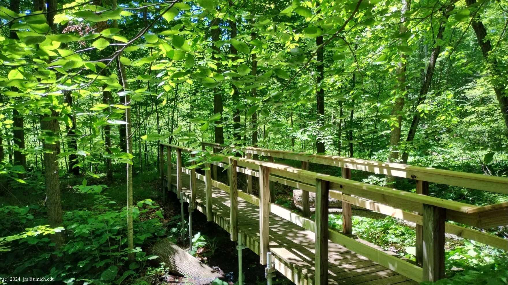
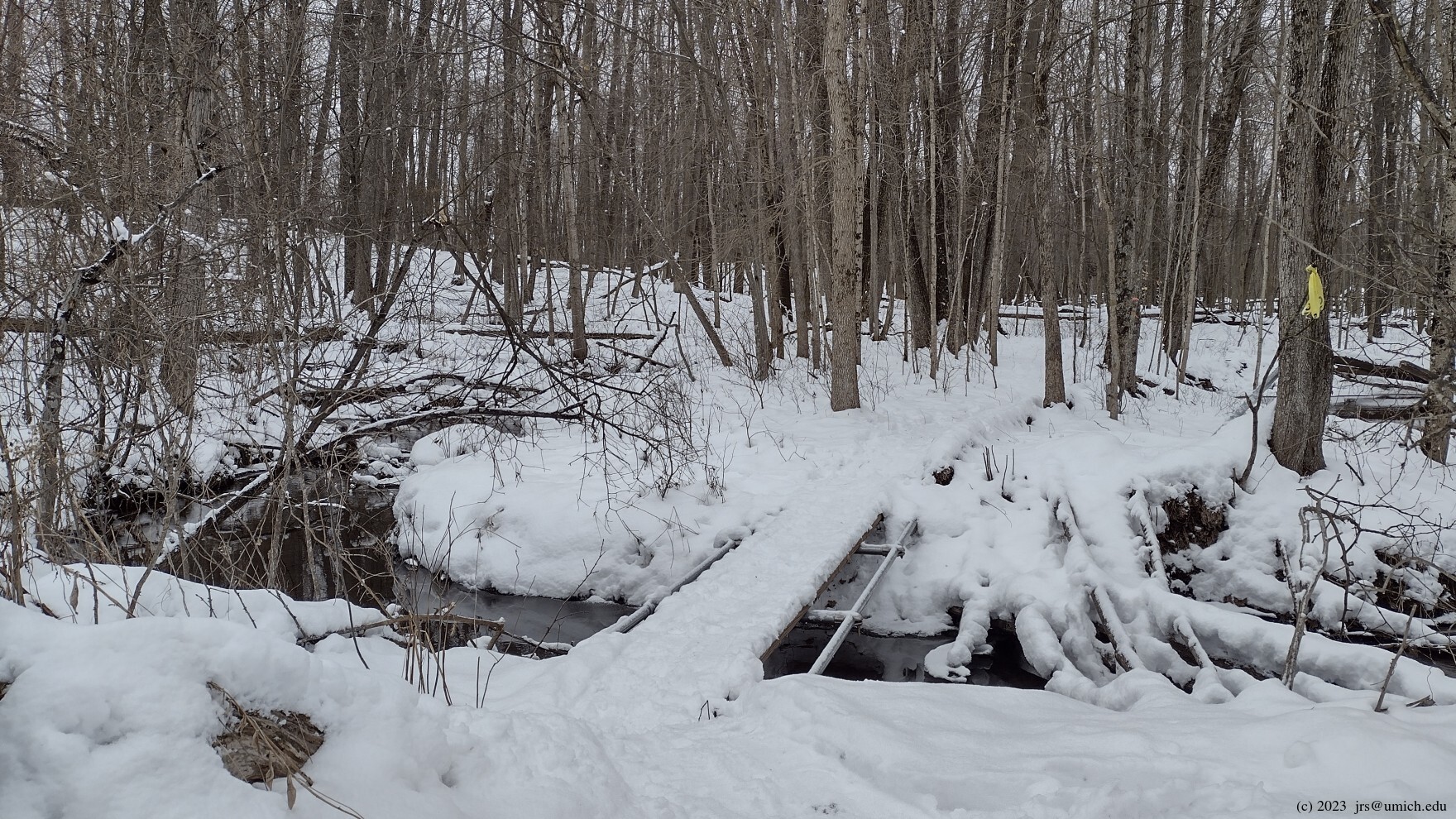
Update 2 (January 2023):
All of the remaining warning signs and caution tape are gone,
and there is now a
sturdy bridge
across the stream. Although the trail still retains its "wild"
character, the most challenging part of the route has been tamed.
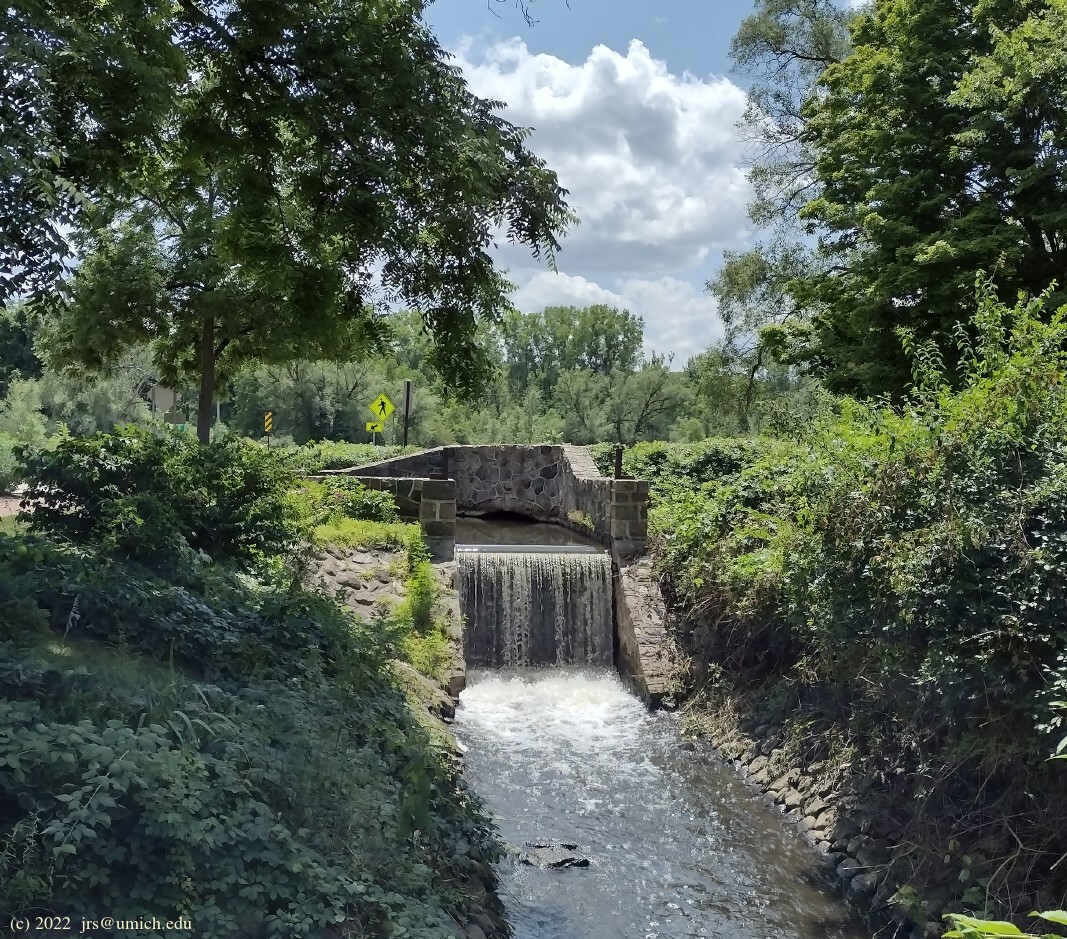
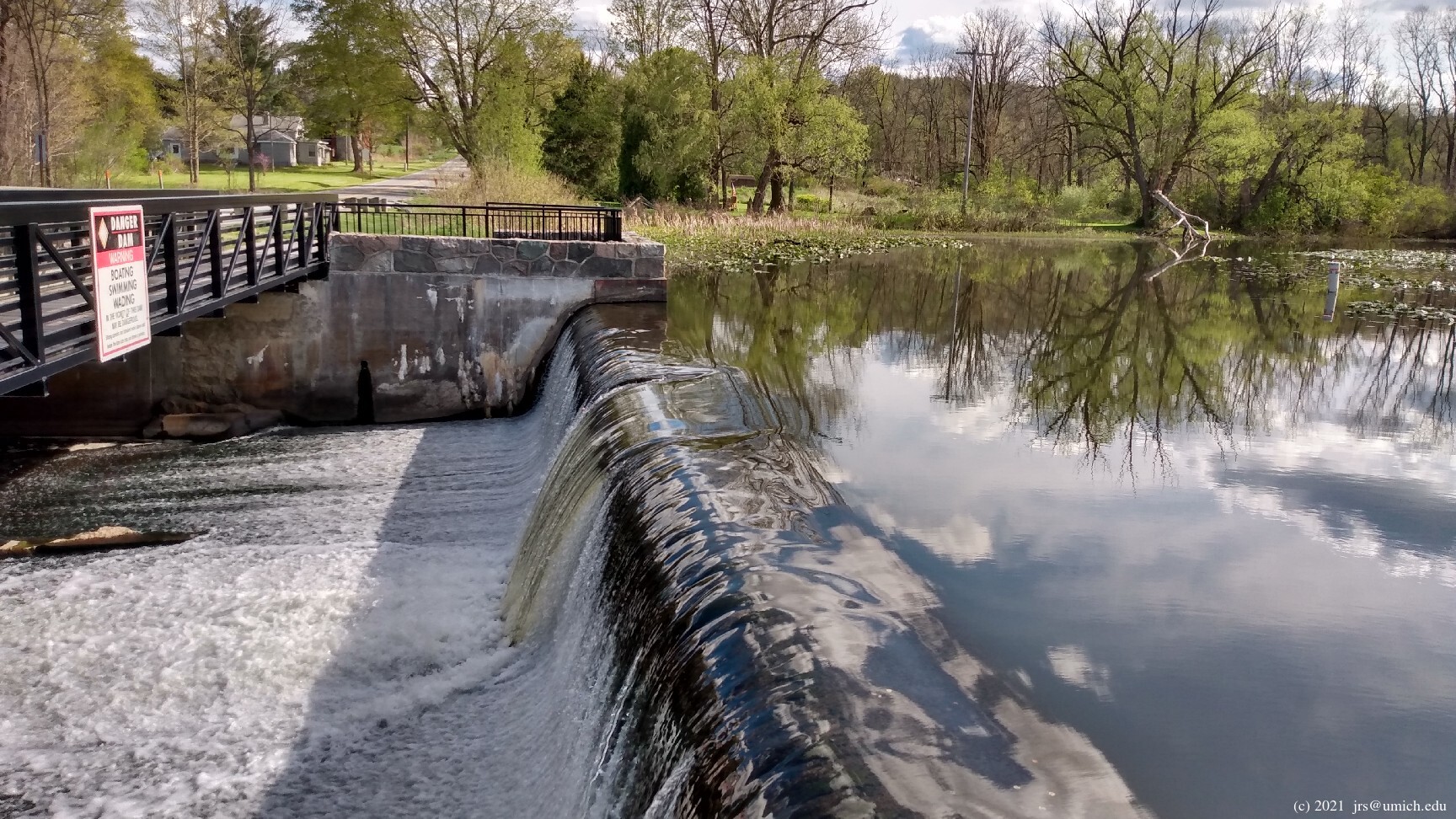

You may want to take a side trip to tour the mill area, including the picnic grounds, the mill race, and the dam. There is also a short but interesting unpaved path near the canoe launch that runs downstream alongside the river before curling back to a spot near the picnic pavilion.
Update (Spring 2024):
There is a second short spur in the mill area -- not shown on the
maps -- that runs east just south of the mill parking lot,
offering additional
good views
along the north side of the river. It ends after about 1/8
mile in a shady area with a picnic table and a grill.
A grand tour hitting most of the highlights -- including the wilder northern route but excluding the mill area -- will range from about 4 to 5 miles in length. A side trip to tour the mill area will add perhaps 1/2 mile to your hike. To illustrate some of the possibilities, I've saved a GPX route map [What's this?] that shows a 4.6 mile route and a 5.4 mile route. Note that both loops pass near or through three possible parking locations: the two Sharon Mills parking lots and the one at the Weston Preserve.
Although the Sharon Mills trails are multi-use, they seem to have fallen out of favor with the mountain biking crowd. I don't recall ever encountering bikers on these trails in recent years, although I did once see a Segway rider. Perhaps related to this is that the maze of twisting and intersecting paths along the northern rim of Sharon Mills -- as shown on the OpenStreetMap and at trailforks.com -- has largely disappeared. The trail network here as currently maintained is now much simpler and more attractive for hiking.
In the vicinity of the
trailhead
(i.e., the north parking lot),
the maps are especially inaccurate.
You can verify this yourself by comparing them with
any recent Google satellite image, such as
this one .
The main take-away from the image is that there are essentially
three main paths departing from the trailhead summit:
(1) south towards the mill area,
(2) west along the northern rim of the park, and
(3) southwest across the middle.
The two loops included in the above GPX route map illustrate the use of
all three paths and are reasonably accurate as of Fall 2025.
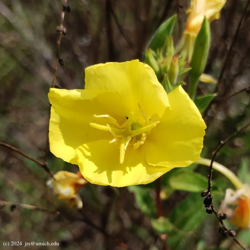
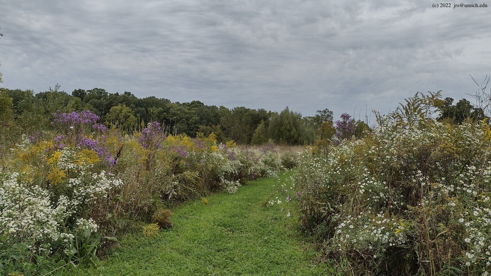
The west and southwest paths pass through open fields
that will at times be dense with
wildflowers .
On a hot summer day, the western (i.e., northernmost) path may be
preferable for the brief
moments of shade
afforded by the lines of trees that separate some of the fields.
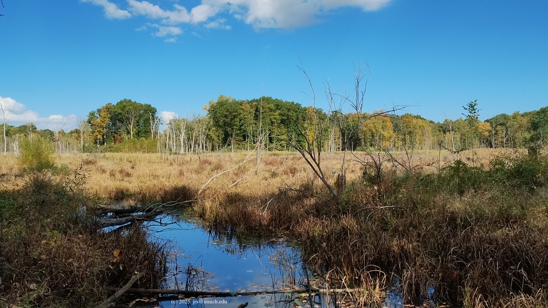
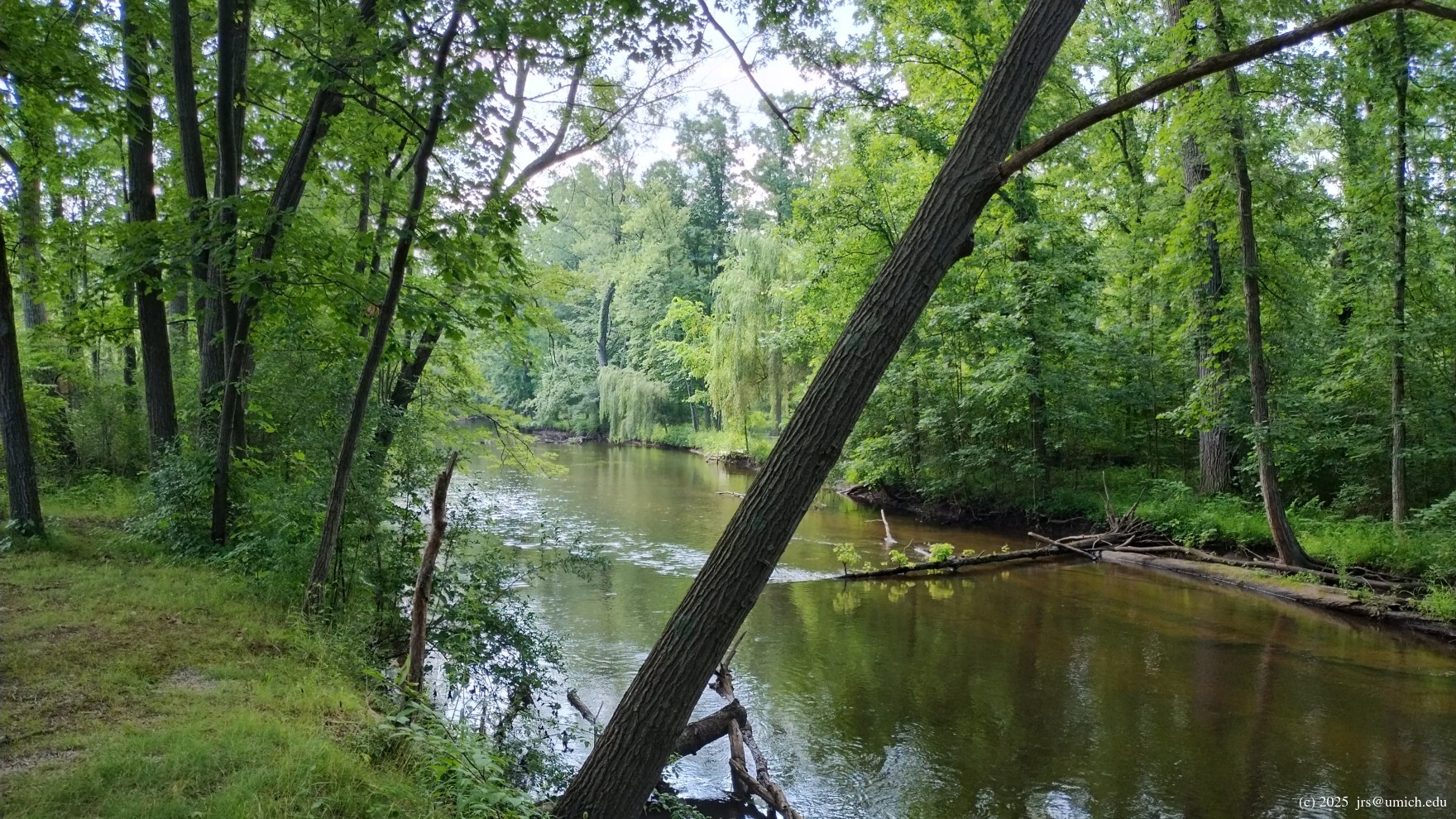
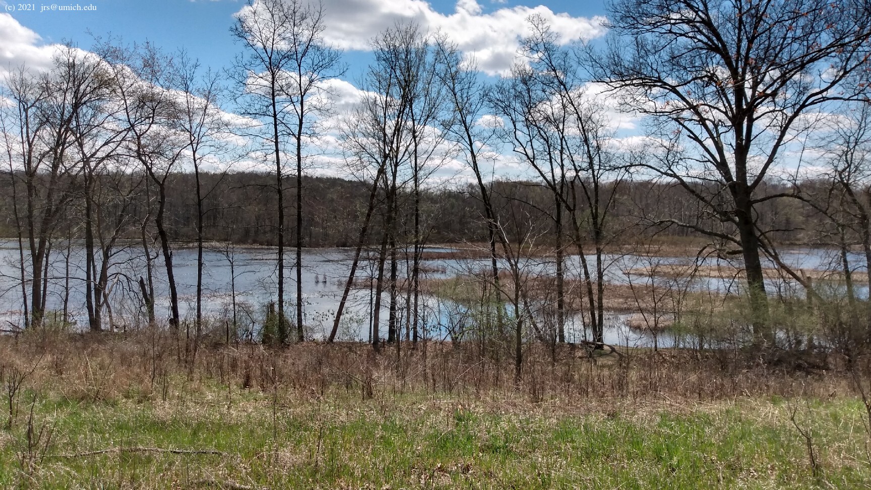
Regarding the southern parts of Sharon Mills, note that the river trail
is actually a loop. The northern half of it runs along a slightly
elevated ridge, offering an interesting
view of the river
from a higher vantage point. On the other side of the ridge
is a parallel trail offering views of two large
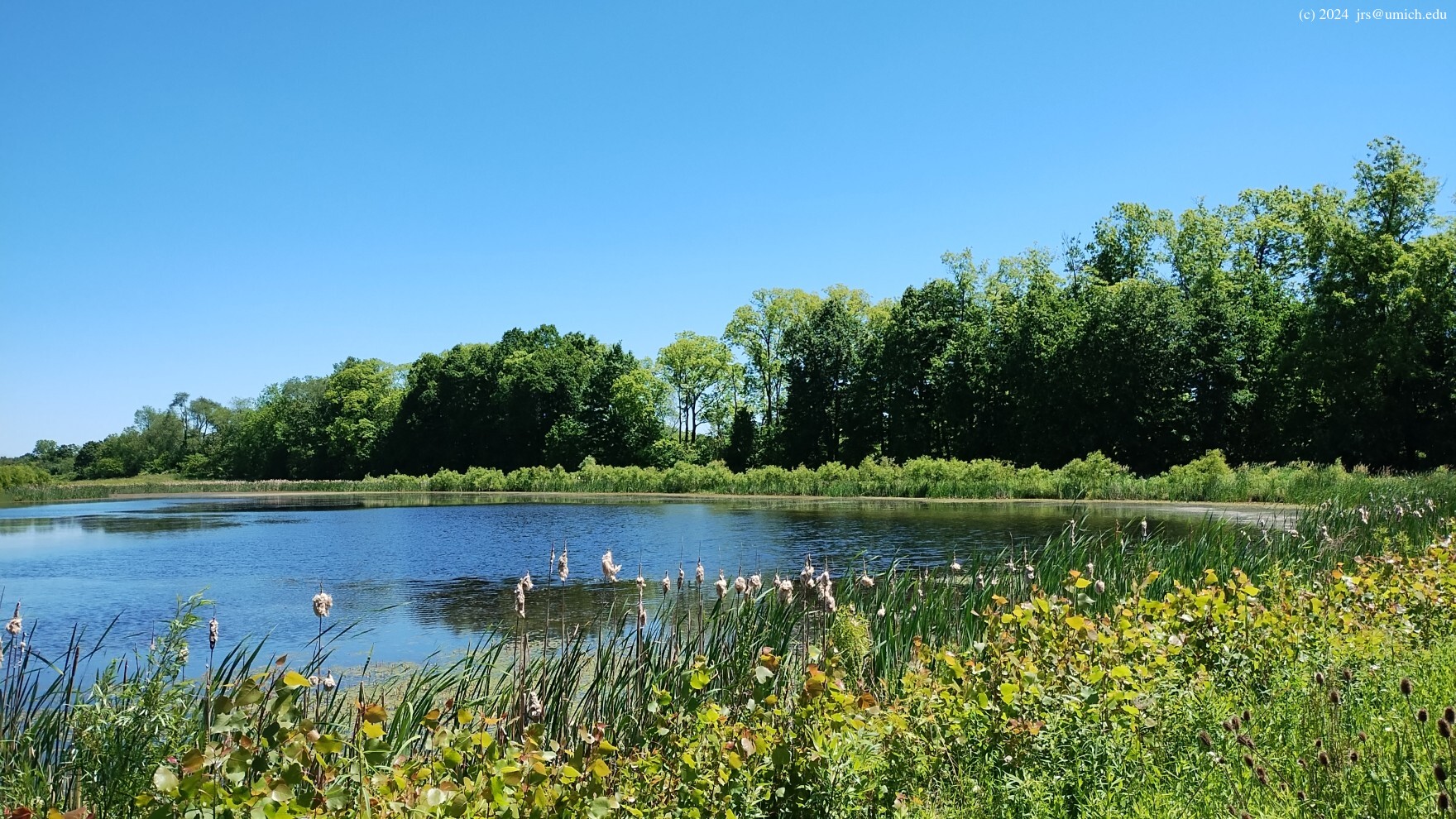
ponds ,
and it is common to see ducks, geese, and sandhill cranes here.
The 4.6 mile route posted above includes brief segments
on both sides of this ridge.
Two additional hiking routes are available online at MapPedometer:
a 4.5 mile route
and
a 5.2 mile route .
These are slightly less accurate than the above GPX routes,
being more reliant on data from the OpenStreetMap that is now stale.
For a hike entirely inside the Nan Weston Preserve, an out-and-back trek to the southeast corner of the preserve will range from 2.75 to 3.5 miles long, depending on which of the interior trail segments you use to get there. A loop around the perimeter of Sharon Mills as currently maintained is about 1.7 miles long.
In Sharon Mills, bikes and leashed dogs are allowed on the trails, but no hunting. In the Nan Weston Preserve, neither pets nor bikes are allowed, but limited bow hunting for deer is allowed. It requires permits from the state DNR and from The Nature Conservancy.
Head west on I-94, then south on M-52 near Chelsea (Exit 159). The first traffic light you encounter will be 7.5 miles later at Pleasant Lake Road. Turn right (west) onto Pleasant Lake. After 3.25 miles, precisely at the point where Pleasant Lake veers to the south and becomes Sharon Hollow Road, you have three options, depending on where you want to park:
for Sharon Mills and the main entry point for the park's trail
network will be immediately on your left.
From the I-94 Jackson Road entrance on Ann Arbor's west side, the drive takes about 25 minutes.
[The Nan Weston Preserve features] more than 260 species of wildflowers and other native plants. From the symphony of toads and frogs during spring, to the rain of yellow beech leaves in the fall, visitors will find year-round spectacles to enjoy. In the wet spring months, visitors can see vernal pools, which are temporary pools of water that provide habitat for insects, snakes and amphibians.
Located on the banks of the River Raisin in southwestern Washtenaw County, Sharon Mills County Park offers the opportunity to visit a significant historic site in a beautiful natural setting. The mill was originally constructed in the mid-1850s. It was then purchased and nearly rebuilt by Henry Ford in the 1930s for use as a small factory. Sharon Mills is listed on the State of Michigan Register of Historic Places. The mill is open to the public for tours on select dates from late spring through the fall, check the calendar for exact dates.