C11. Bird Hills, Barton and
Kuebler-Langford Nature Areas
Important News (February 2025):
A major
construction project  to repair the embankment at Barton Pond is underway
and is expected to run through June of 2027.
While the nature trails within the Barton oxbow remain open,
the pond and dam area are
closed to the public
to repair the embankment at Barton Pond is underway
and is expected to run through June of 2027.
While the nature trails within the Barton oxbow remain open,
the pond and dam area are
closed to the public  .
.
More News (November 2025):
Meanwhile, there is good news to report about another
construction project
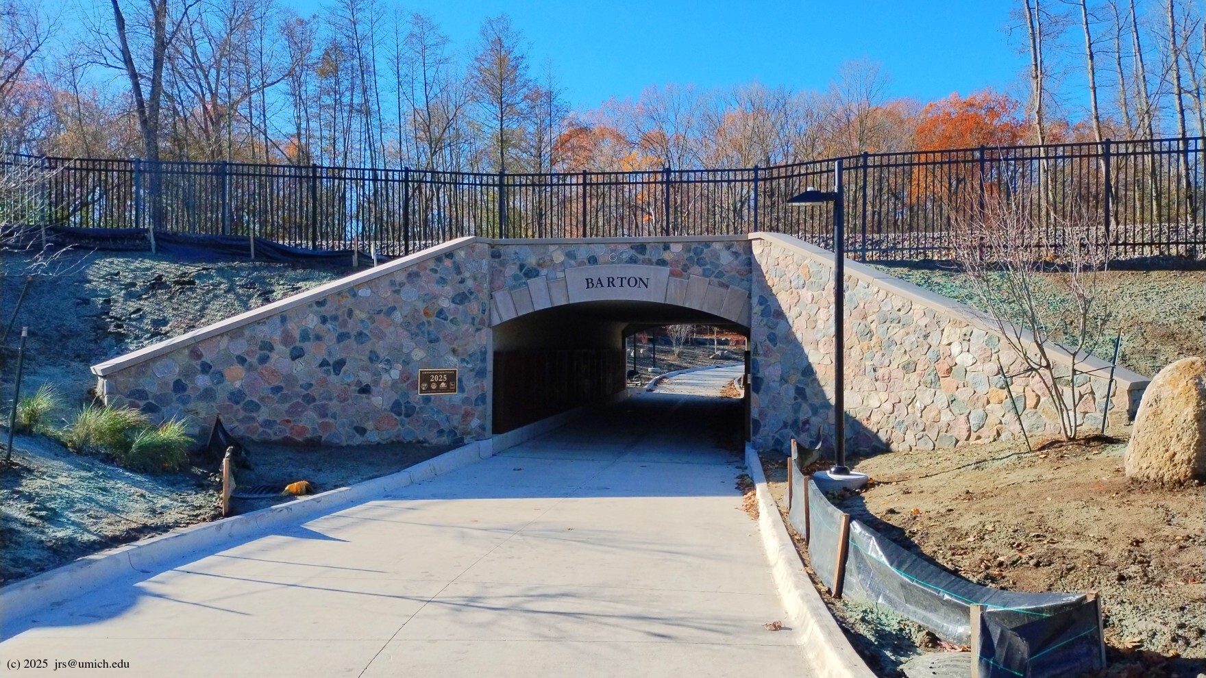
that has impacted hiking in this area. The
tunnel
connecting Bandemer Park and the Barton Nature Area is now finished
and open to the public. As a result, the hiking routes described here
are mostly back to normal.
Among hikes within the city of Ann Arbor,
this three site loop is the crown jewel.
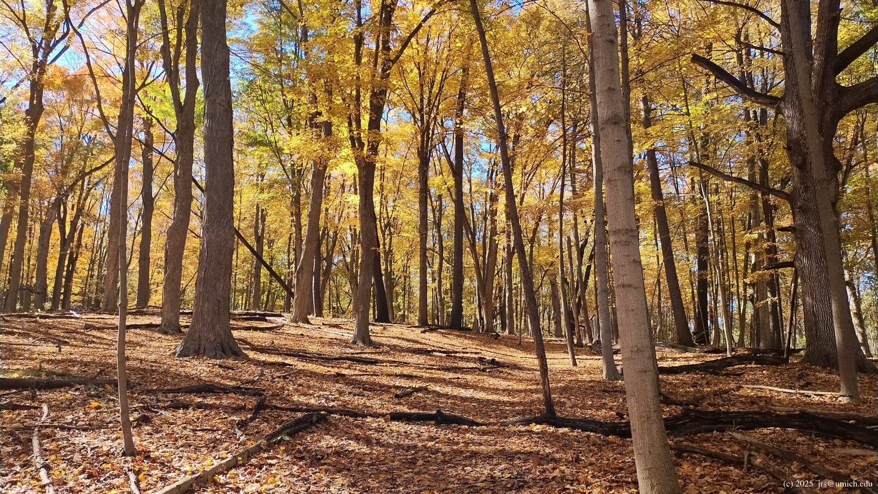
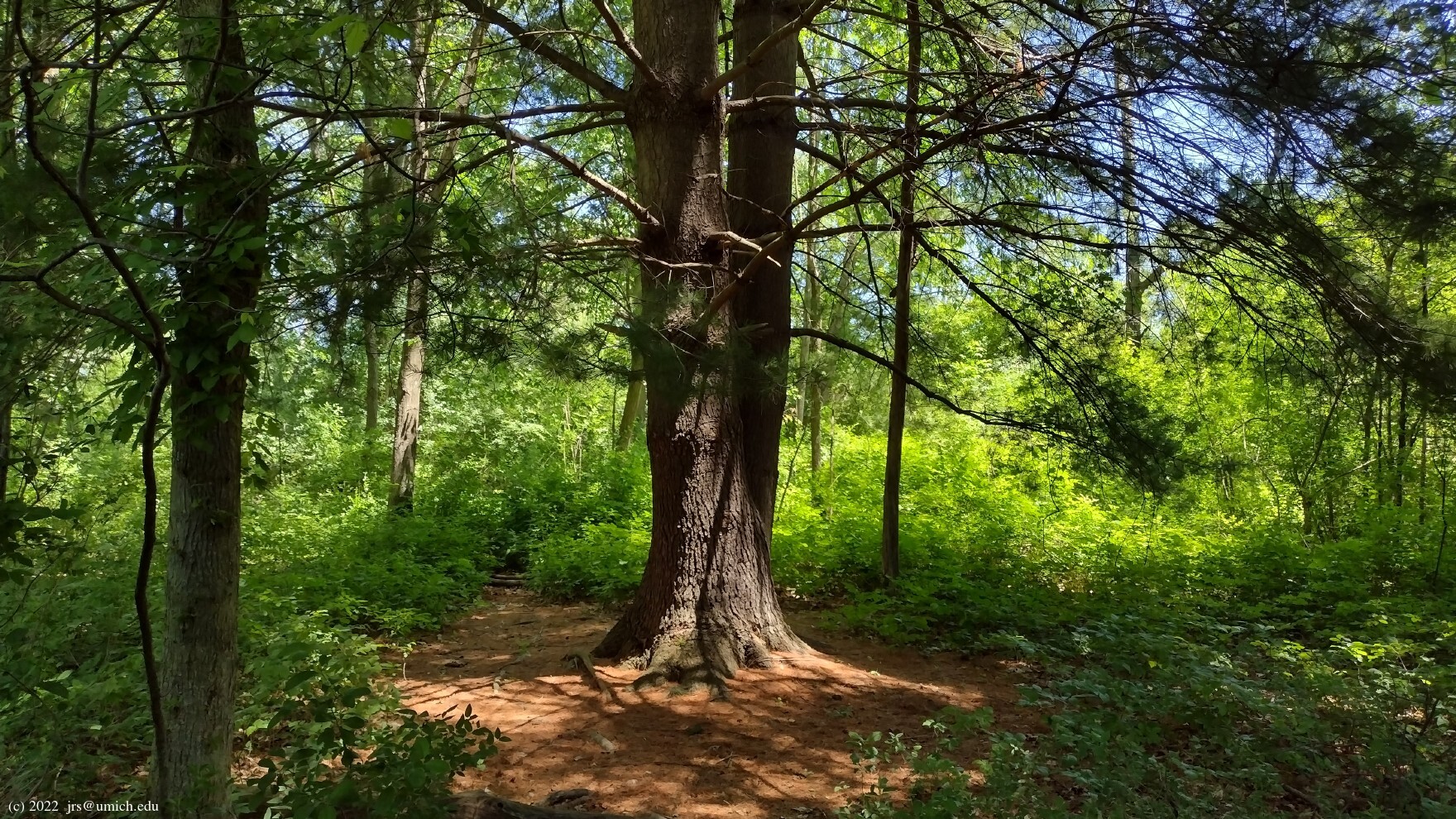
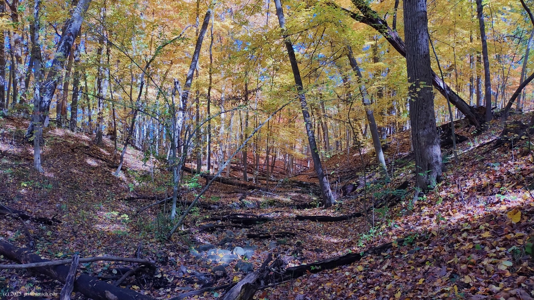
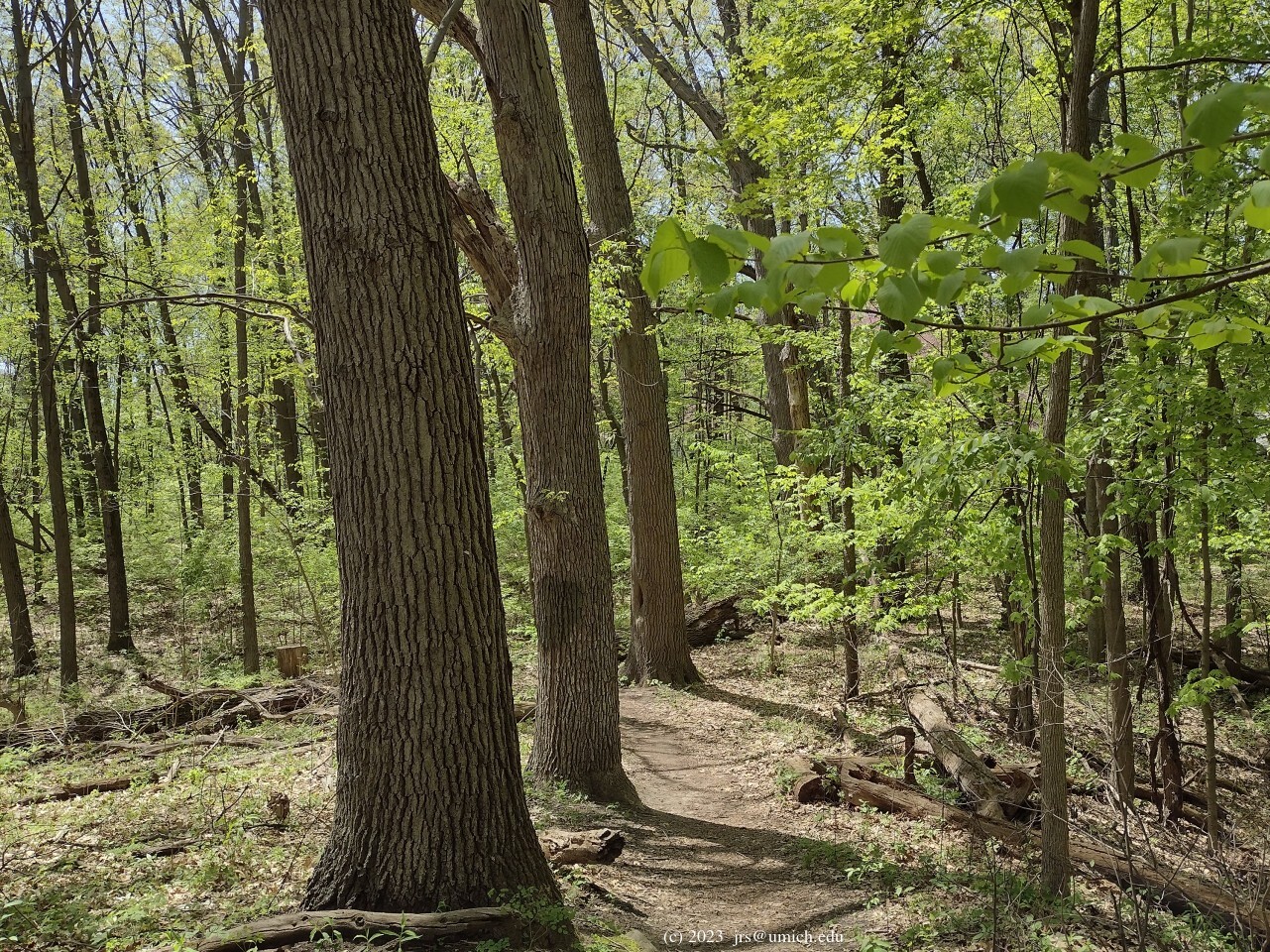
Bird Hills:
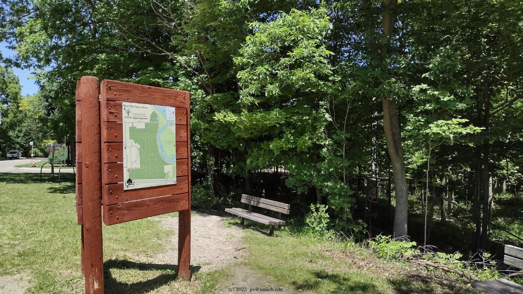
My preferred route starts from the Bird Hills trailhead on Newport Road.
Take the left (north) branch, which further splits into three parallel
branches that all descend through dense, mature woods and exit at Bird Road.
Each one of these branches has compelling features; a good choice for
a first-timer is to try the middle one -- it runs along a ridge that offers
excellent views on either side. Once you reach Bird Road, walk down to
and across Huron River Drive to...
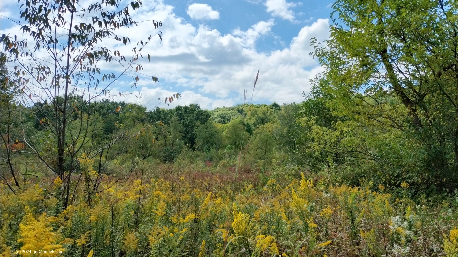
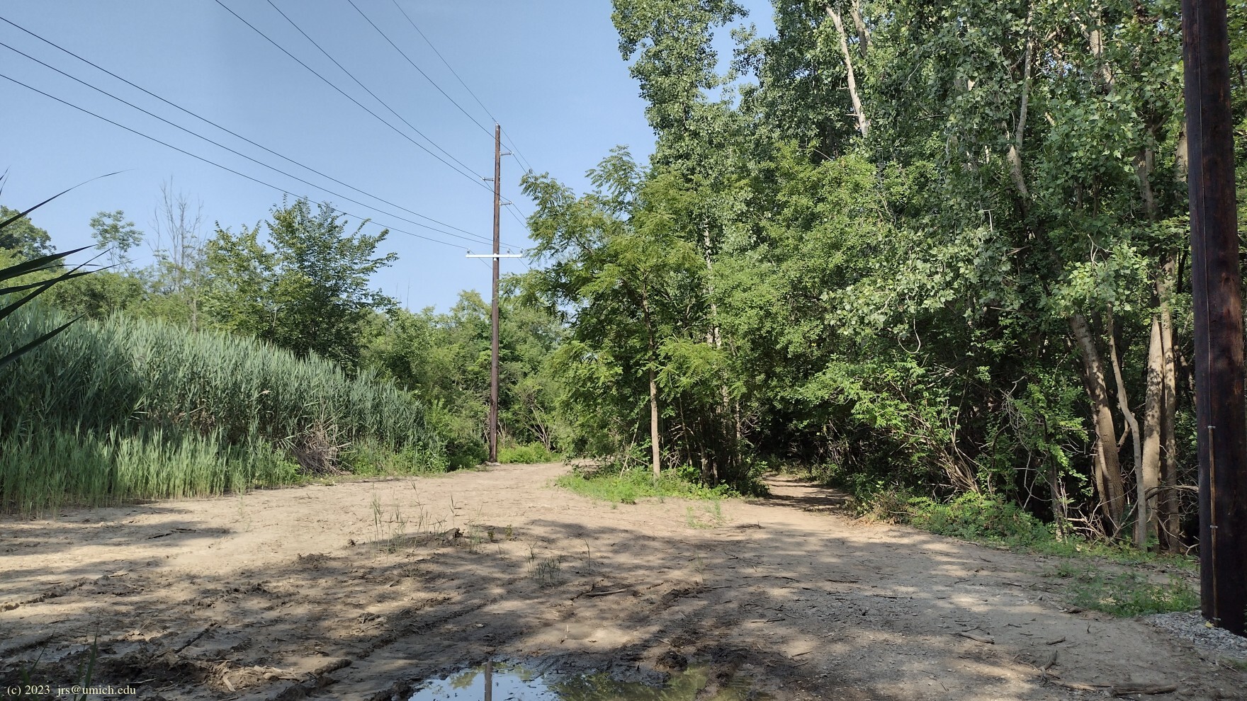
The Barton Nature Area:
From the Barton parking lot, head towards the water
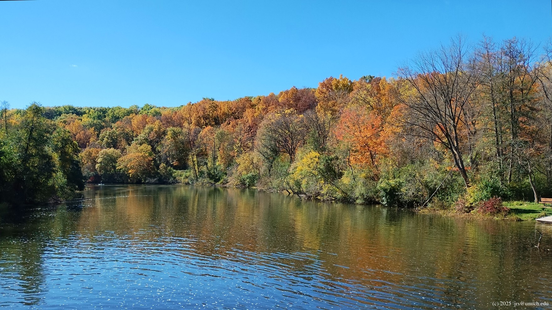
and you will come to a pedestrian bridge across the Huron River with
Barton Dam
looming above you upstream, and a
gorgeous view
downstream. However, instead of crossing this bridge,
you might want to investigate a detour to your left that takes you
upstream above the dam along a canoe portage.
[Update: But not until the project to repair the embankment
and dam area is finished, sometime in 2027.]
There you will find a spectacular panoramic view of
Barton Pond .
Additional great views are available nearby along
the catwalk that runs across the top of the dam.
After returning to and crossing the pedestrian bridge,
immediately on the right
(downstream) side, there are nature trails that will take
you deeper into the woods and meadows of the Barton Nature Area.
Some of the paths here are narrow and tricky to navigate. On a visit in
late summer, at one point I found myself chest-deep in wildflowers
on a path that was at most one foot wide. This detour may add 1/2 mile
or more to your hike before returning to the main trail.
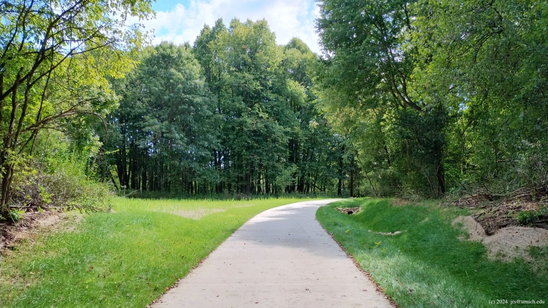
The main trail leads you to a second pedestrian bridge across the Huron.
With no nature trail side trips, it is about 1/2 mile from bridge
to bridge. This second bridge delivers you to what was once a parking
area on Huron River Drive; now it is where the B2B Trail turns east and
passes through a
tunnel
underneath the railroad on the way to Bandemer Park
[part of Hike C12].
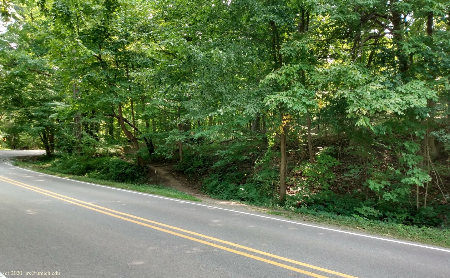
However, rather than follow the path to the tunnel,
look across Huron River Drive.
On your left near a hairpin turn, you should see a
path that heads back uphill
into the woods. This path starts the third leg of the hike.
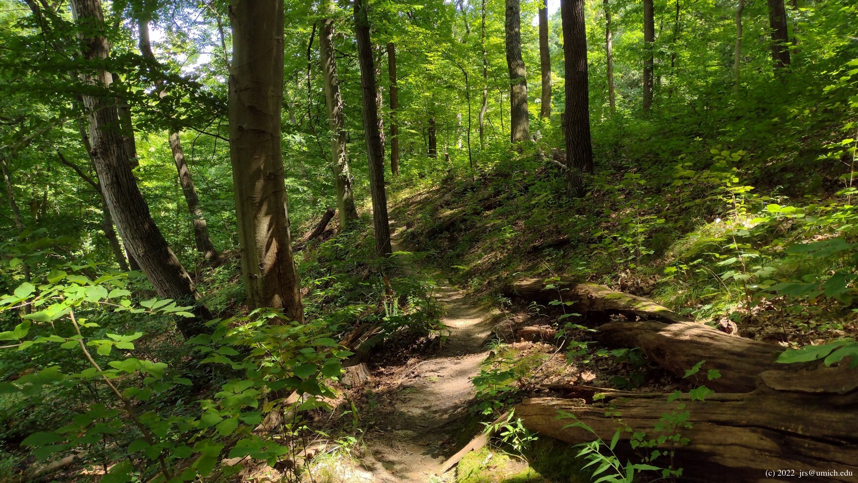
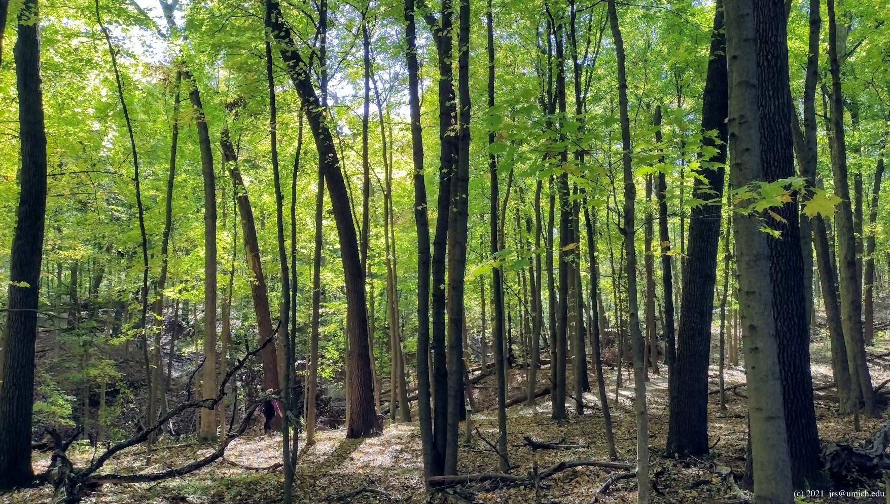
Kuebler-Langford and Hilltop:
Once you cross Huron River Drive you will initially be in the
Hilltop Nature Area ,
but as you progress, the trail passes into the larger Kuebler-Langford
Nature Area. You will discover a substantial maze of trails here (more
about this below). The main takeaway is that the network consists of
five(!) roughly parallel and interconnected paths that run east to west.
All of these trails eventually converge as you travel west, exiting
Kuebler-Langford at Beechwood Drive. Across the street is a trailhead
offering re-entry into Bird Hills. Taking the left branches from here
on out will bring you directly back to the trailhead on Newport Road.
If you are feeling a bit adventurous and energetic on your return
to Newport, take the first right branch you encounter for a steep
descent into a hollow. You'll appreciate the relative quiet here,
being sheltered from most of the noise pollution emanating from M-14.
This round trip tour will be 3 to 4.5 miles long, depending on the
extent of your exploratory side trips along the way.
There will also be substantial climbs and descents -- the change in
elevation between the Newport Road trailhead and the Huron River
is about 200 feet.
Bikes are not allowed at Bird Hills;
leashed dogs are allowed at all three locations.
New!
I've saved a
GPX route map
[What's this?]
that includes a 4.2 mile version of this hike.
Note that there are places where a trail closure could block
passage from Bird Hills to Barton, Barton to Kuebler-Langford, or
Kuebler-Langford back to Bird Hills. And there have been temporary
closures of this kind at various times in recent years.
Consequently, I've also included shorter loops
within Bird Hills (2.8 miles), Barton (2.2 miles)
and Kuebler-Langford (1.1 miles) in the above route map.
These loops are designed so that they may be chained together
to create longer routes that avoid any closure.
Some examples of this are described in more detail below.
Navigating the maze at Hilltop and Kuebler-Langford:
The official
trail map (PDF)
shows the five interconnected trails running roughly east to west across
the Hilltop and Kuebler-Langford Nature Areas. The two southernmost
trails are not recommended -- they leave you out in the open
and maximally exposed to the noise from M-14.
To get onto any of the three recommended trails from the eastern
entry point on Huron River Drive, look for a fork in the trail soon
after you begin your ascent. If you take the left branch, after a
few more steps you will come to a second fork.
-
If you opt for the left branch again (but avoid any additional
options that lead farther south), the trail will take you along the
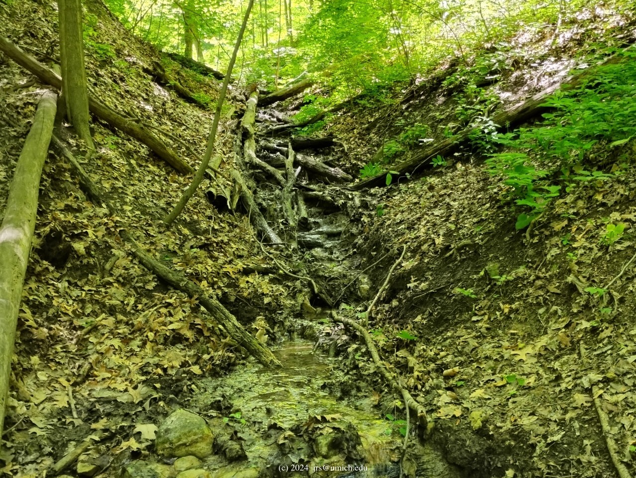
south side of a ravine, and eventually
down into the ravine
and across the stream at the bottom. There is no footbridge -- the water
flow here is usually no more than a trickle.
-
Opting for the right branch at the second fork will take you along
the north side of the ravine. You may spot a forlorn flagpole along
the way -- probably a remnant from when there was a Girl Scout camp here.
-
If instead you opt for the right branch at the first fork,
the trail will lead you uphill along the northern rim of Hilltop.
There are several opportunities to veer to the south and join the
path that runs along the north side of the ravine, but you might miss
out on a few glimpses of the Huron River from a high vantage point.
A handy turning point arises at an intersection where there is a
bench 10 yards to your right facing the river. Turning left will
take you to the ravine. Continuing straight ahead, you will eventually
rejoin the other westbound trails but miss the ravine. Along this trail
there is a spur that descends very steeply all the way down to some wooden
steps ending at Huron River Drive.
The history of disruptions at Barton:
1. (March 2024) Construction work has begun on the
project to (a) route the B2B Trail from Bandemer Park to the Barton
Nature Area through a tunnel underneath the railroad,
and (b) extend the B2B Trail through the Barton Nature Area on
its way to points farther west. This has resulted in the temporary closure
of the pedestrian bridges at both ends of the Barton oxbow,
effectively cutting off any access to the nature trails.
In the meantime, one may combine the Bird Hills and Kuebler-Langford
loops in the above route map into a single 4 mile hike that completely
avoids Barton. A similar 4.15 mile route is also available online at
MapPedometer .
2. (August 2024) The first phase of the project -- a
concrete defilement
of the main bridge-to-bridge trail in the Barton oxbow -- is now
complete .
The good news is that (a) the trail network within the oxbow is open again,
and (b) on a Bird Hills -> Barton -> Kuebler-Langford circuit,
it is possible to avoid most of the concrete pathway aside from the last
~250 yards of it on your way to the second bridge.
3. (February 2025) And now, an entirely separate
construction project
is underway in the Barton Nature Area. Leakage from the embankment
that holds Barton Pond in place has been getting worse, and the city has
hired a contractor to make repairs starting in March 2025.
Already (February) the dam area, the canoe portage, and the pathway that
runs along the top of the embankment are
closed to the public
and will remain that way for the duration of the project.
The good news is that the bridges at either end of the oxbow and
the main parking lot at Barton remain open,
so hikers can still pass through the
nature area with minimal inconvenience.
4. (April 2025). The
tunnel-building phase
of the B2B Trail construction project has begun. While the pedestrian
bridge near the Barton Dam that leads into the oxbow remains open,
the second (downstream) bridge that ends at Huron River Drive is closed.
Until the project is completed, the best option for putting together a
hike involving all three sites would be to chain together three short
loops (such as the ones shown in the above GPX route map) into a long
loop that avoids the passage between Barton and Kuebler-Langford.
5. (November 2025). Now that the tunnel project is
complete ,
hiking routes are mostly back to normal aside from
the ongoing closure of the area around Barton Pond and the dam.
Also note that it is no longer possible to park on the shoulder of
Huron River Drive near the second (downstream) bridge.
The DTE clear-cutting at Kuebler-Langford:
1. (February 2023) DTE has closed the southernmost of the five east-west
paths across Kuebler-Langford in order to install new power lines.
This closure includes the westernmost portion shared by all five
paths as they converge on the way to Beechwood Drive.
Consequently, it is no longer possible to hike directly between Bird Hills
and Kuebler-Langford. As an alternative, one may chain together the
three short loops in the above GPX route map into a long loop that
avoids the passage between Bird Hills and Kuebler-Langford.
A similar 5.65 mile route is also available online at
MapPedometer .
It should be noted for posterity that the trail in this area is not
merely closed. DTE has completely obliterated it by clear-cutting all
trees and vegetation in a strip about 20 feet wide,
leaving behind a muddy quagmire.
2. (July 2023) The trail is open again. Although the "quagmire" aspects
have abated, the after-effects of the destruction remain
conspicuous .
Starting from Beechwood Drive, the trail weaves in and out of the
utility right-of-way for about 250 yards before an escape
into the interior of Kuebler-Langford is available.
It will take quite some time before this area has recovered.
Parking tips:
The Bird Hills parking lot on Newport Road is small and often full.
On days when school is not in session, another option is to
park at nearby Wines Elementary.
Or, use the parking lot at Barton Pond off Huron River
Drive and start your hike there. That is, if you aren't lucky enough
to live or work within walking distance of one of the trailheads.
Additional options available for staging your hike are the small
parking areas on Bird Road and Beechwood Drive.
Excerpts from the websites:
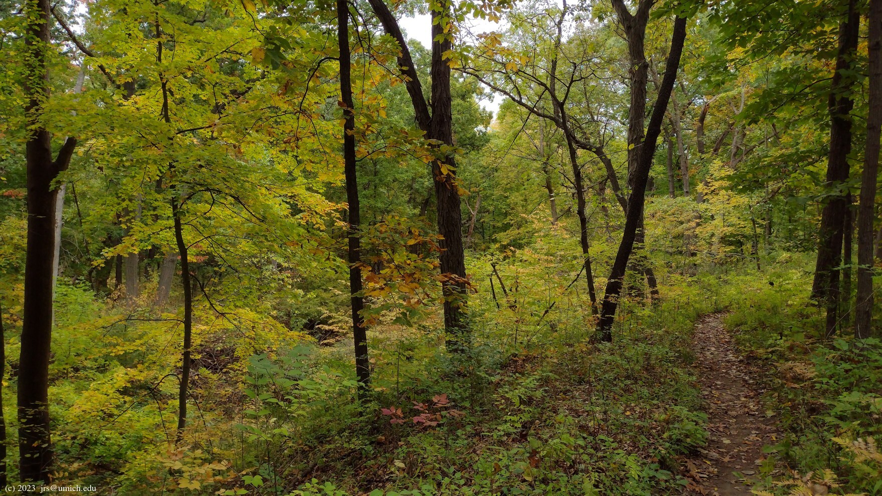
Bird Hills Nature Area is the largest park in the city. Its hilly woods
are a sanctuary for hikers. There are five trailheads: at Down Up Circle,
at Bird Rd, at Beechwood Dr, and two near the Newport Rd parking area.
No facilities are available in this undeveloped park. The unpaved trails
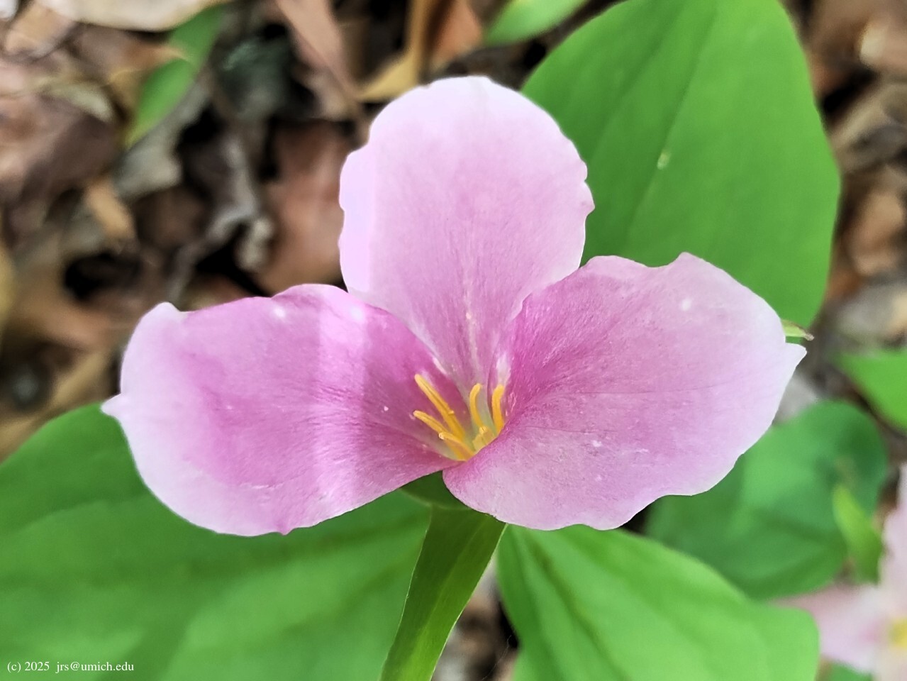
wind through hills and ravines covered with beech, sugar maple, flowering
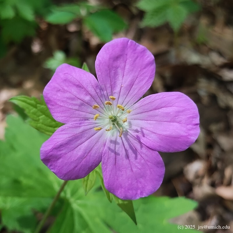
dogwood, oaks and hickory and various spring wildflowers. Other areas have
been planted with various trees not native to our area.
Barton Nature Area is a 102-acre park located along the Huron River on
Huron River Drive, a few miles north of downtown. The park is in two
sections: the larger is known locally as the oxbow, and connects to Argo;
the smaller is known as Foster, and is accessible only by boat from
Barton Pond. The main trail in the oxbow is wood-chipped, and connects the
two bridges. Most of this area is open field, but some areas are shrubby,
and lower wet areas support sedges and marsh plants.
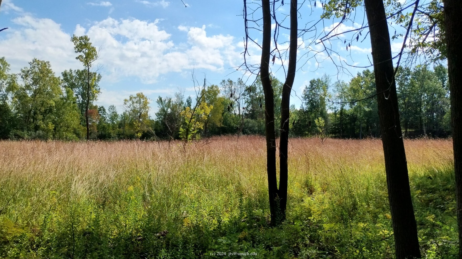
Kuebler-Langford Nature Area is a 31-acre park immediately north of M-14
where it is tucked into the sharp curve of Huron River Drive. Part of
the park is an old field area, with very little top soil. Interestingly,
some plants here are native dry prairie species such as round headed bush
clover and stiff goldenrod. A deep ravine bisects the park from west to
east, and a moist woods, like that found in Bird Hills Park, covers the
steep slopes and the area north of the ravine. Further east along the
ravine a drier forest dominates with large black and white oaks and an
understory of witch-hazel and hazelnut shrubs.


