 ,
OpenStreetMap
,
OpenStreetMap
,
OpenStreetMap
,
OpenStreetMap
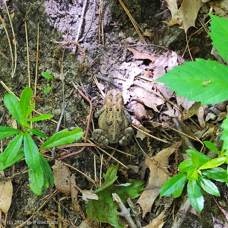
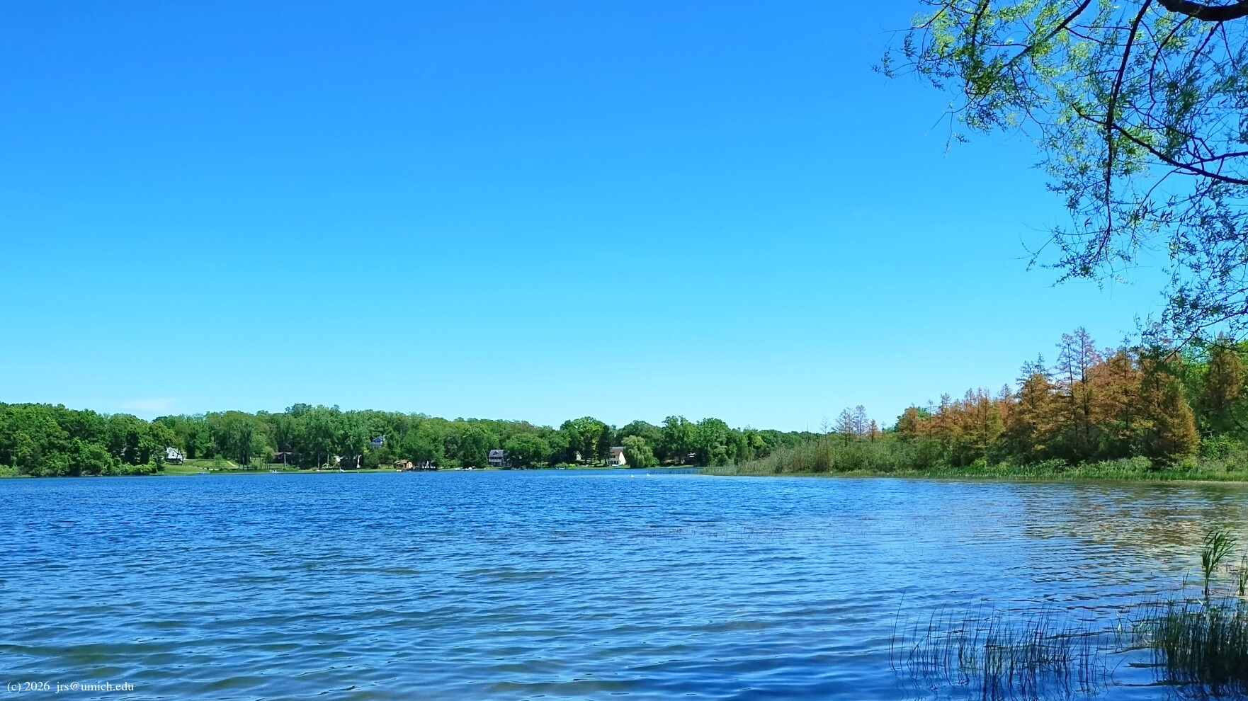
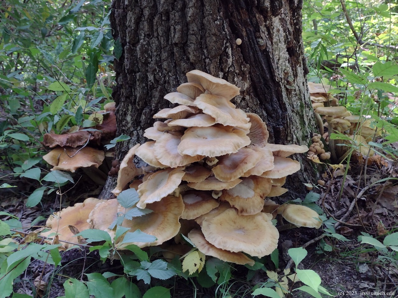
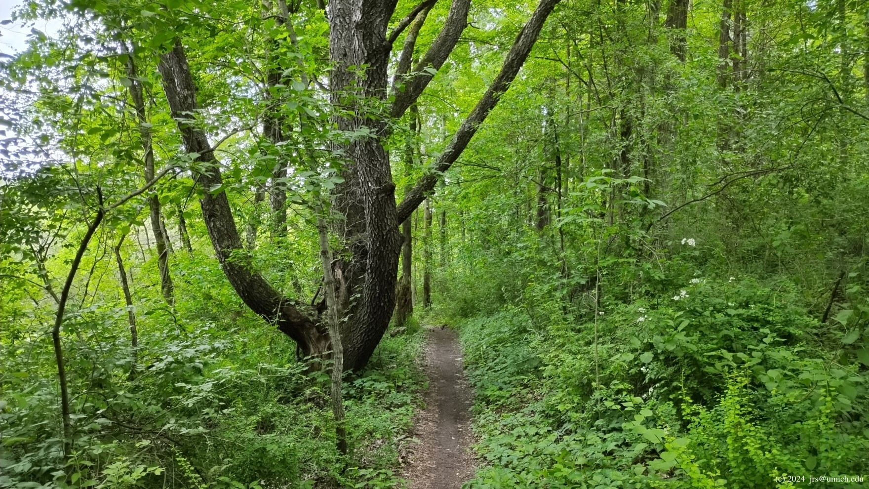
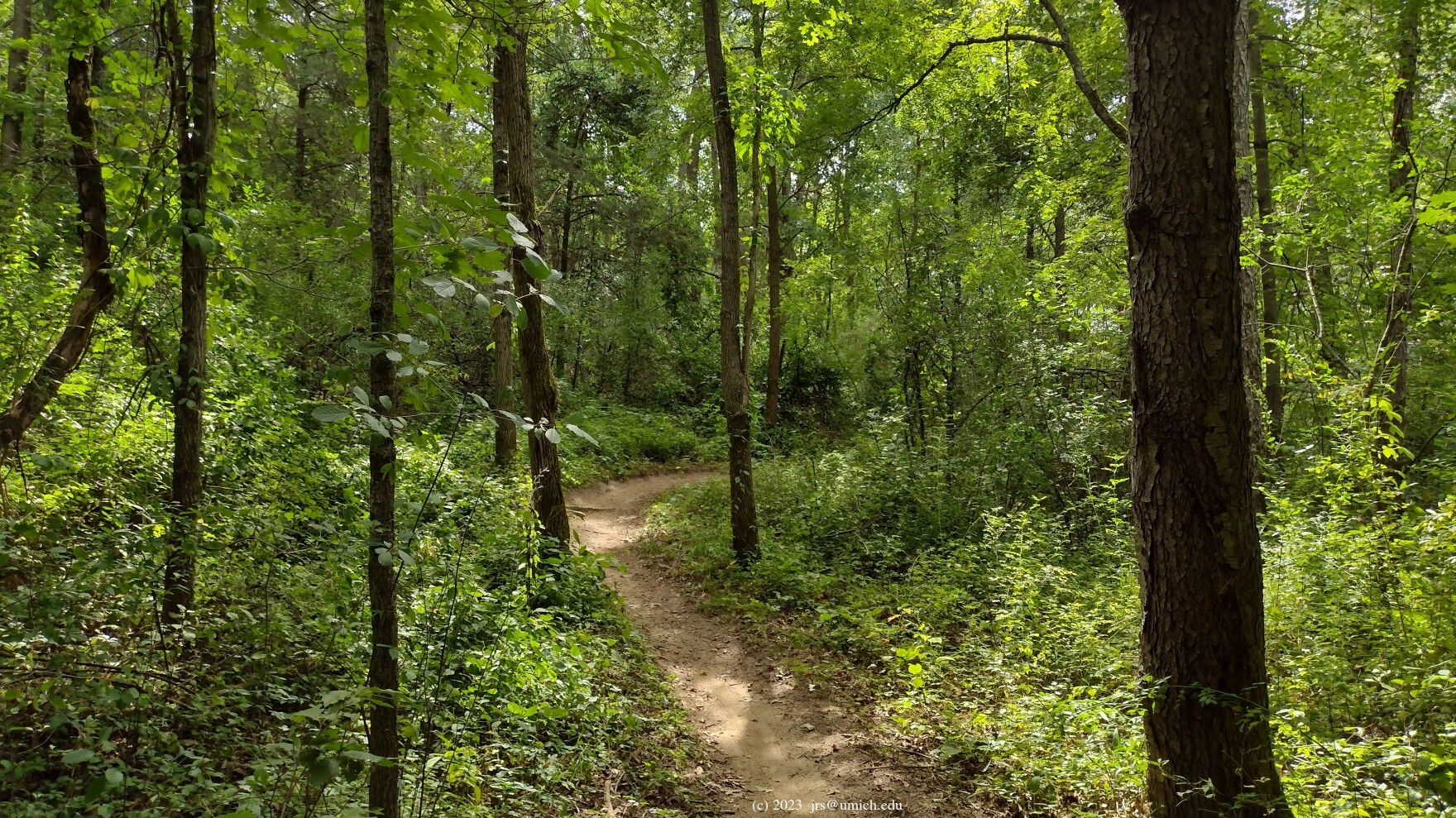
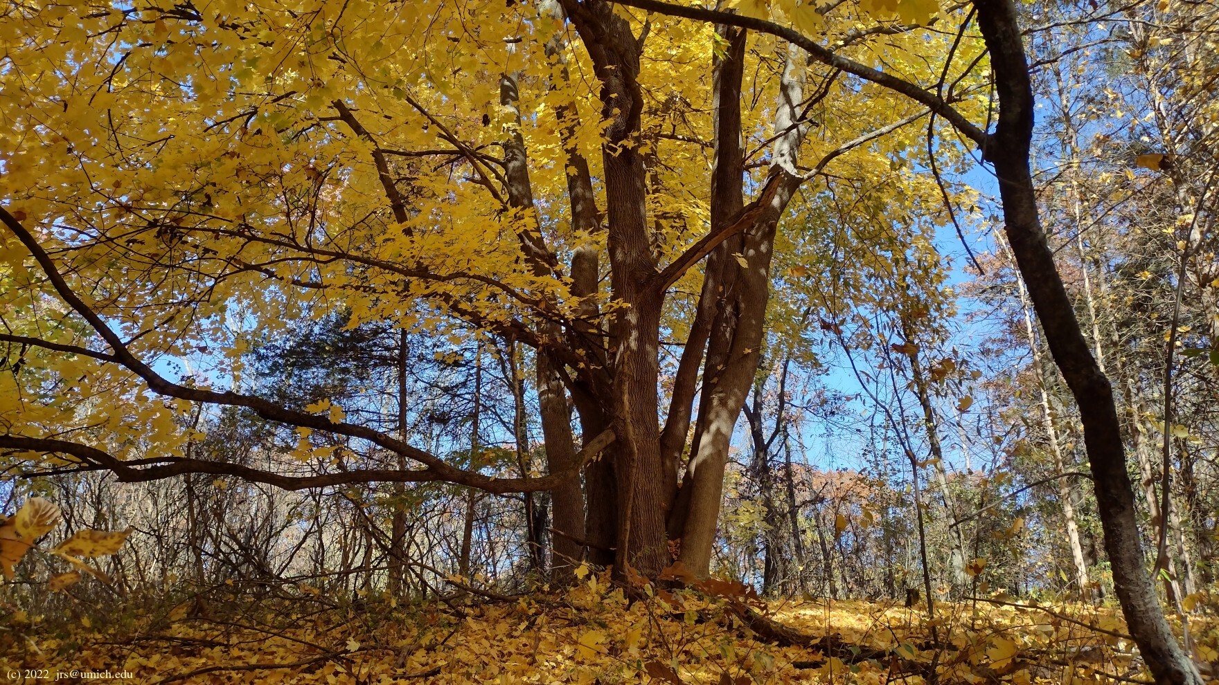
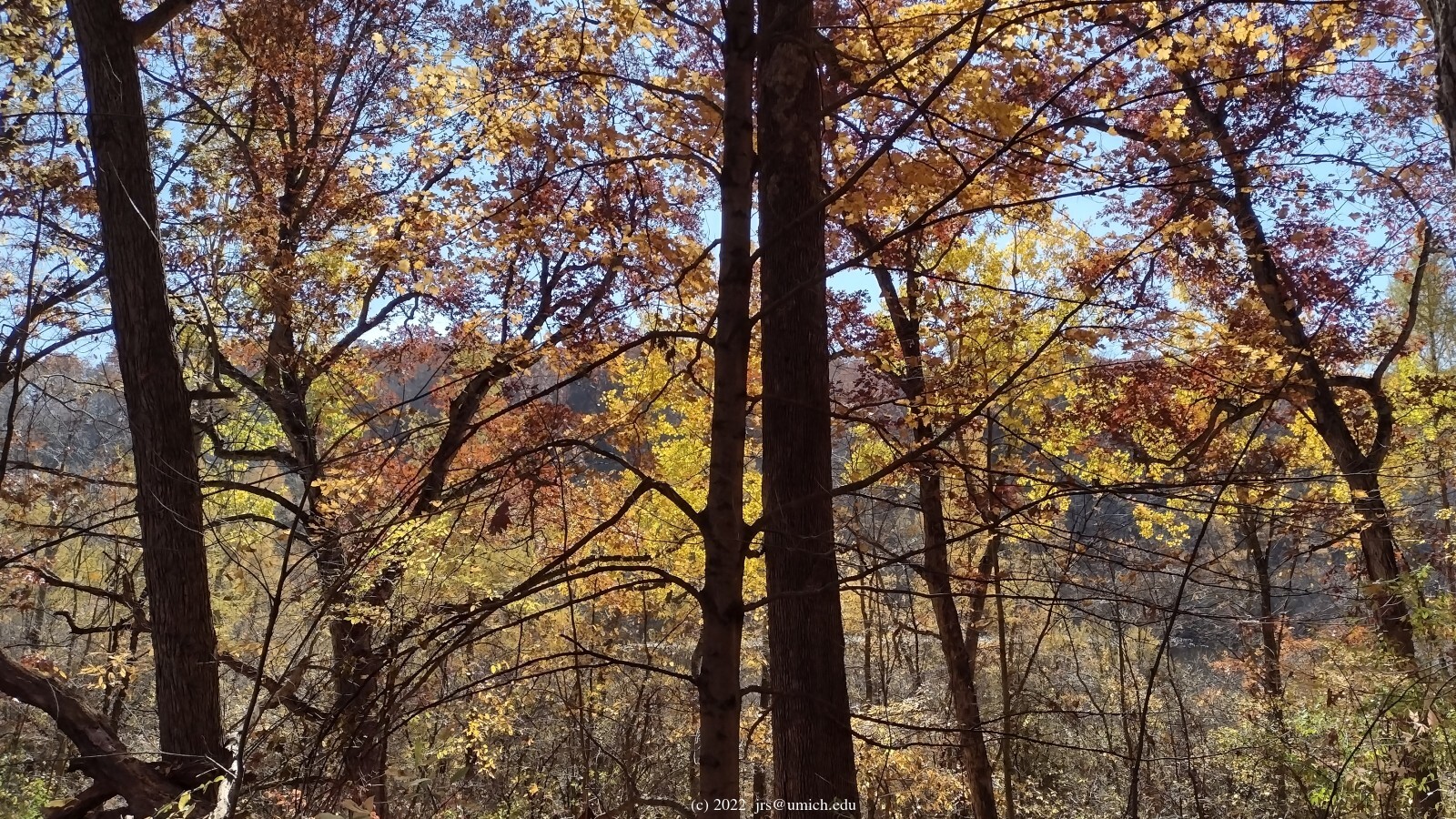
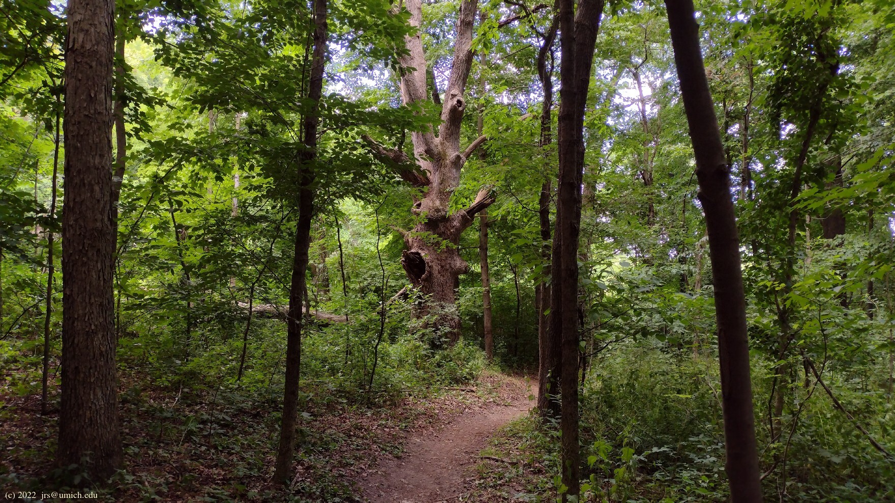
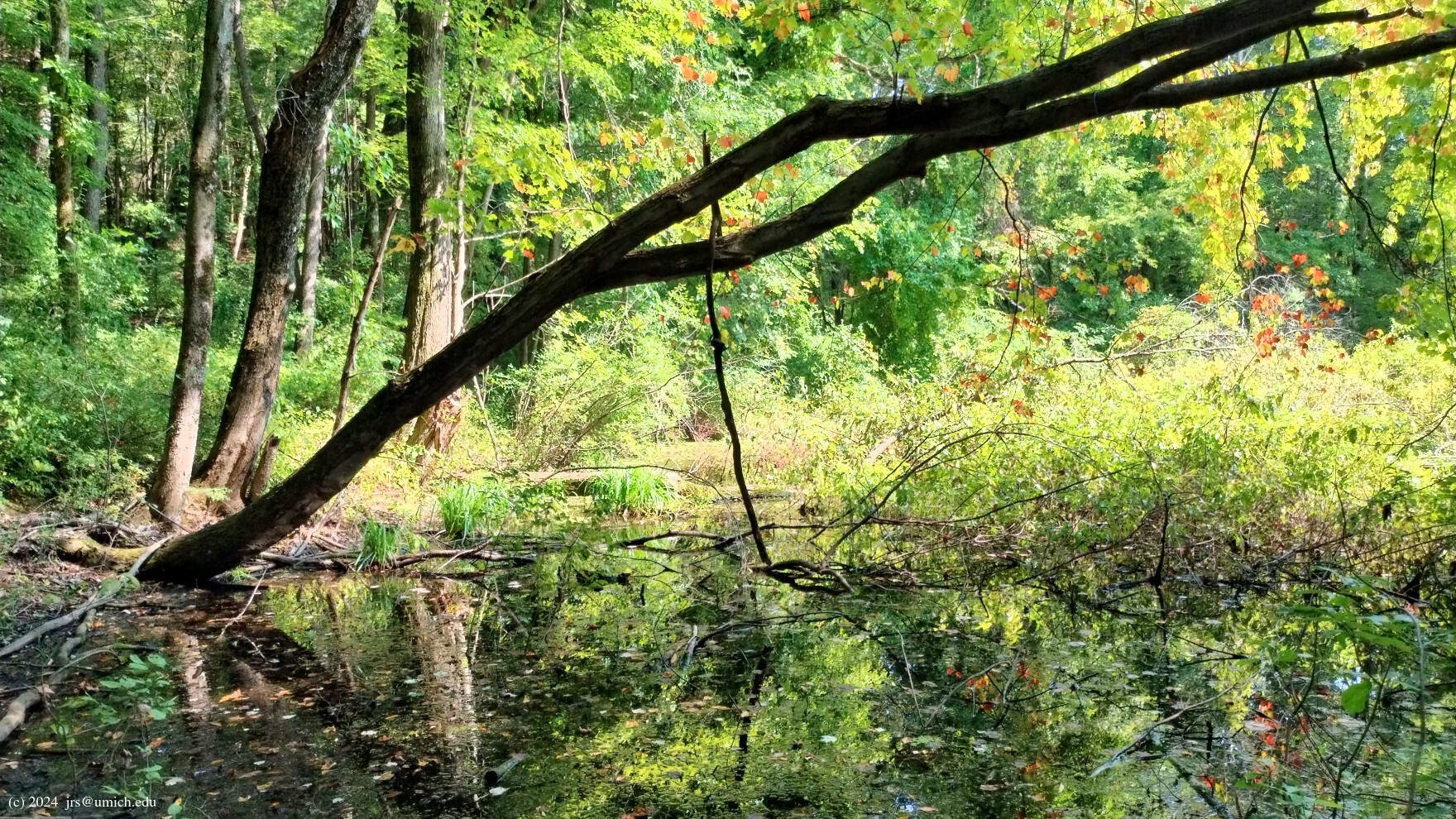
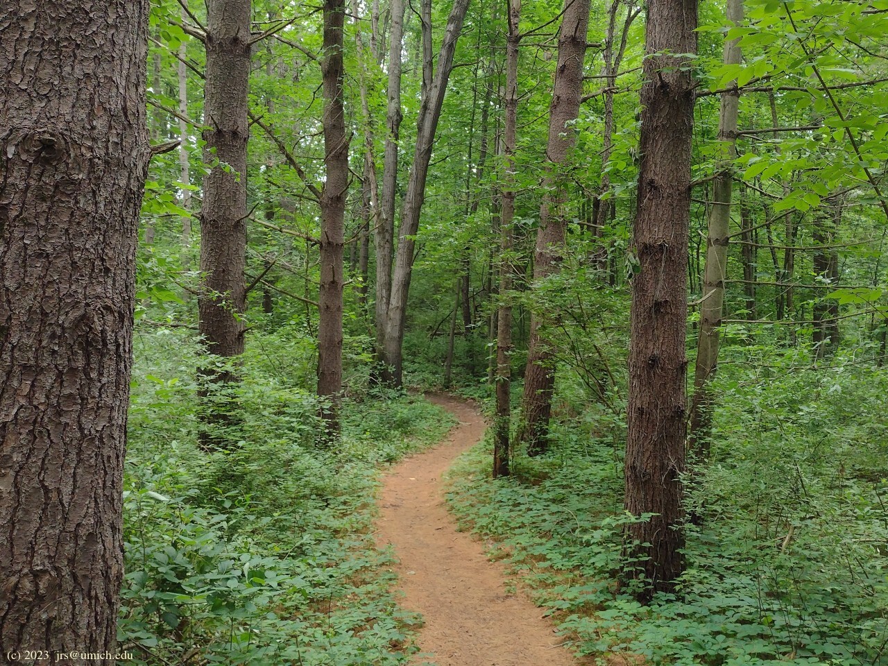
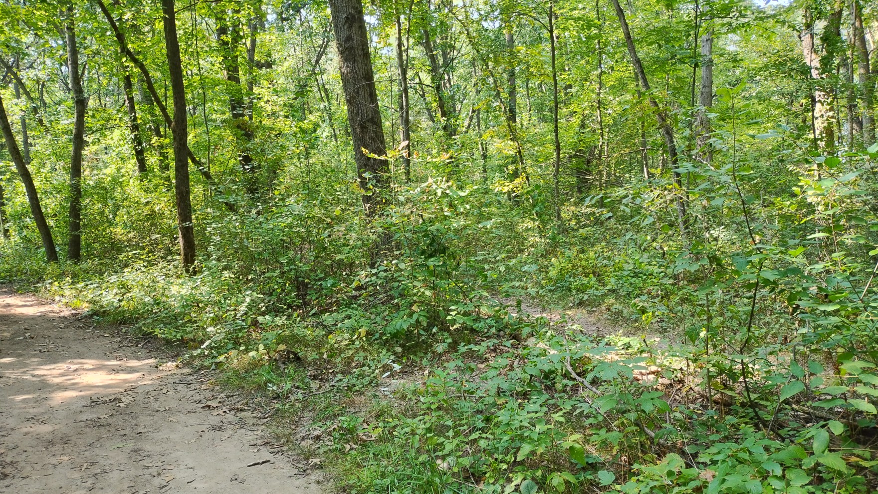
Photos from the Penosha Trail:


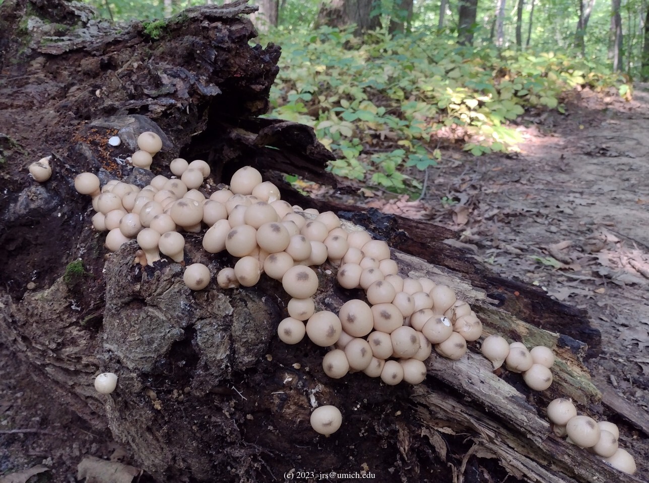
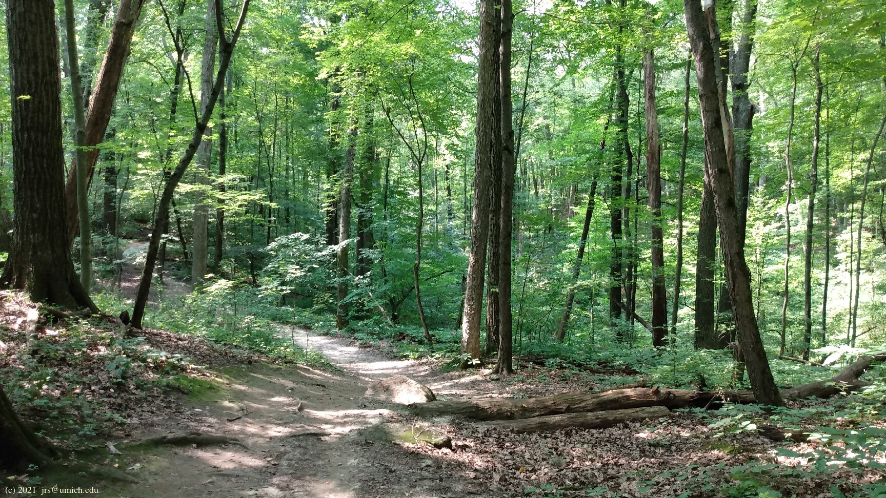
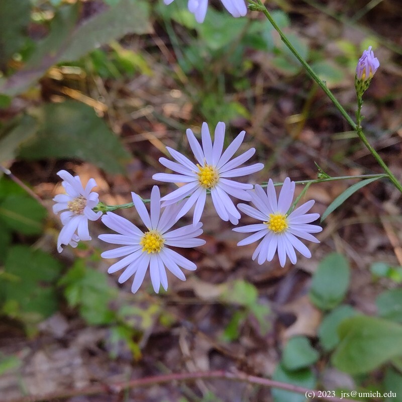
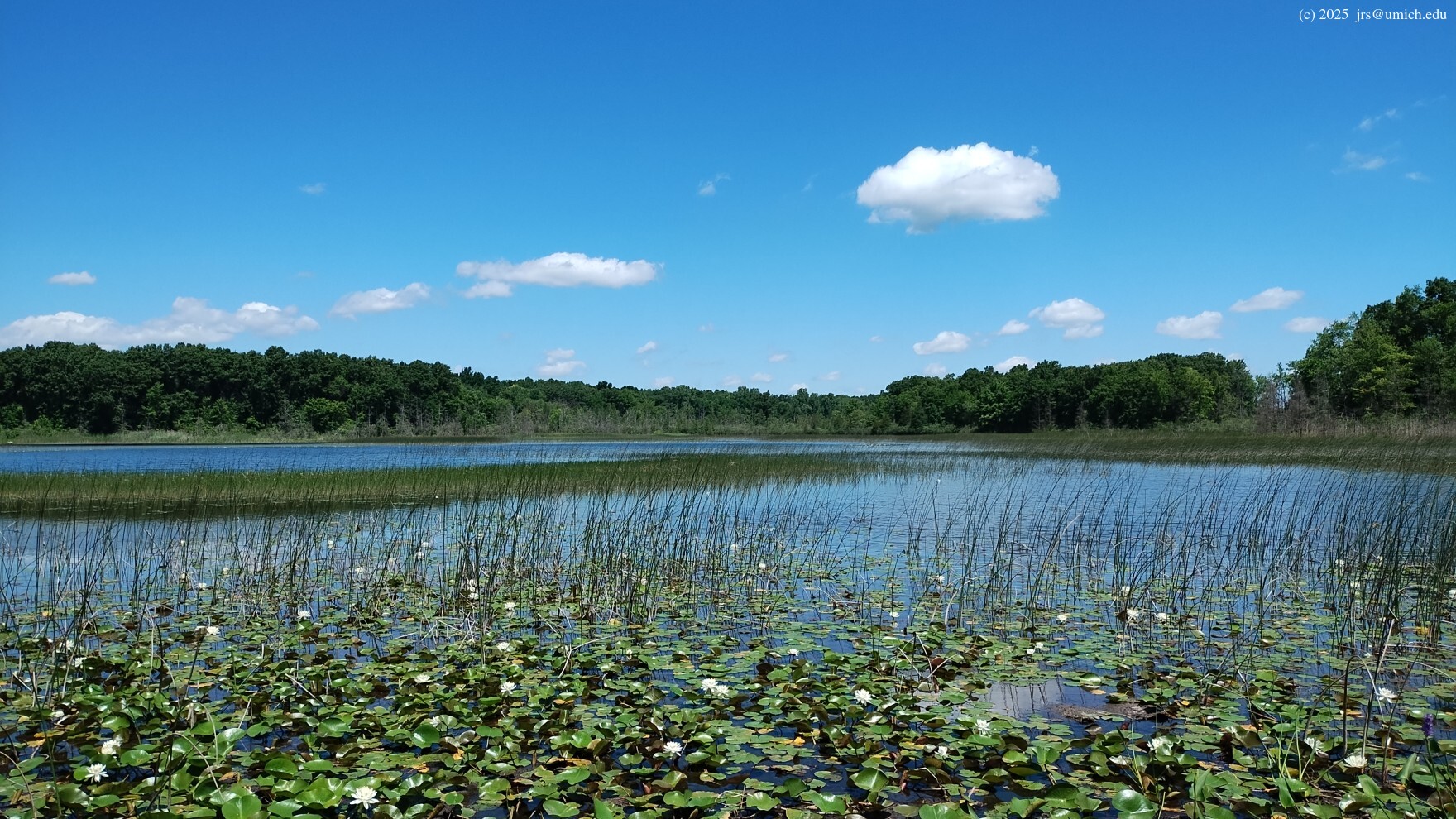
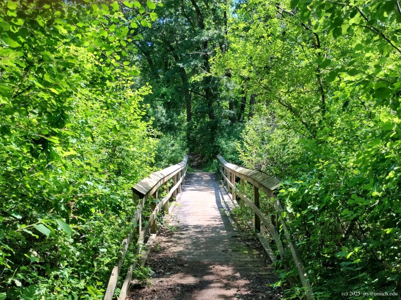
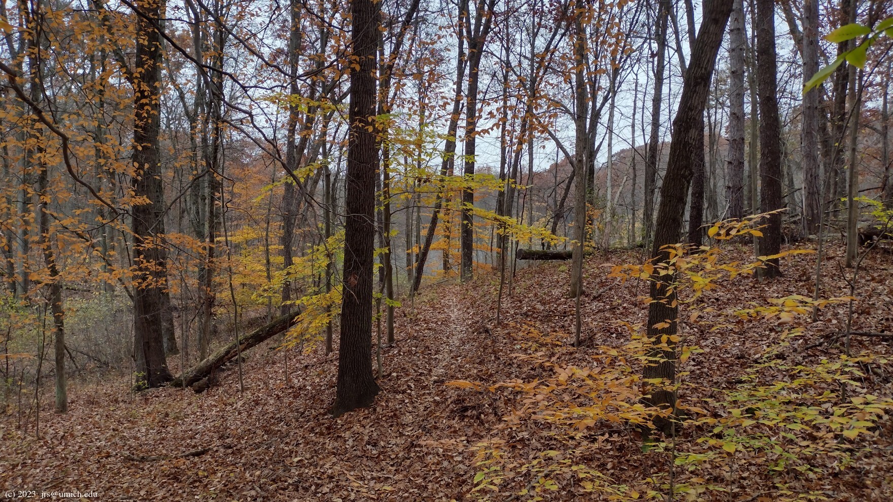
Photos from the Kahchin Trail and in the vicinity of Bishop Lake:
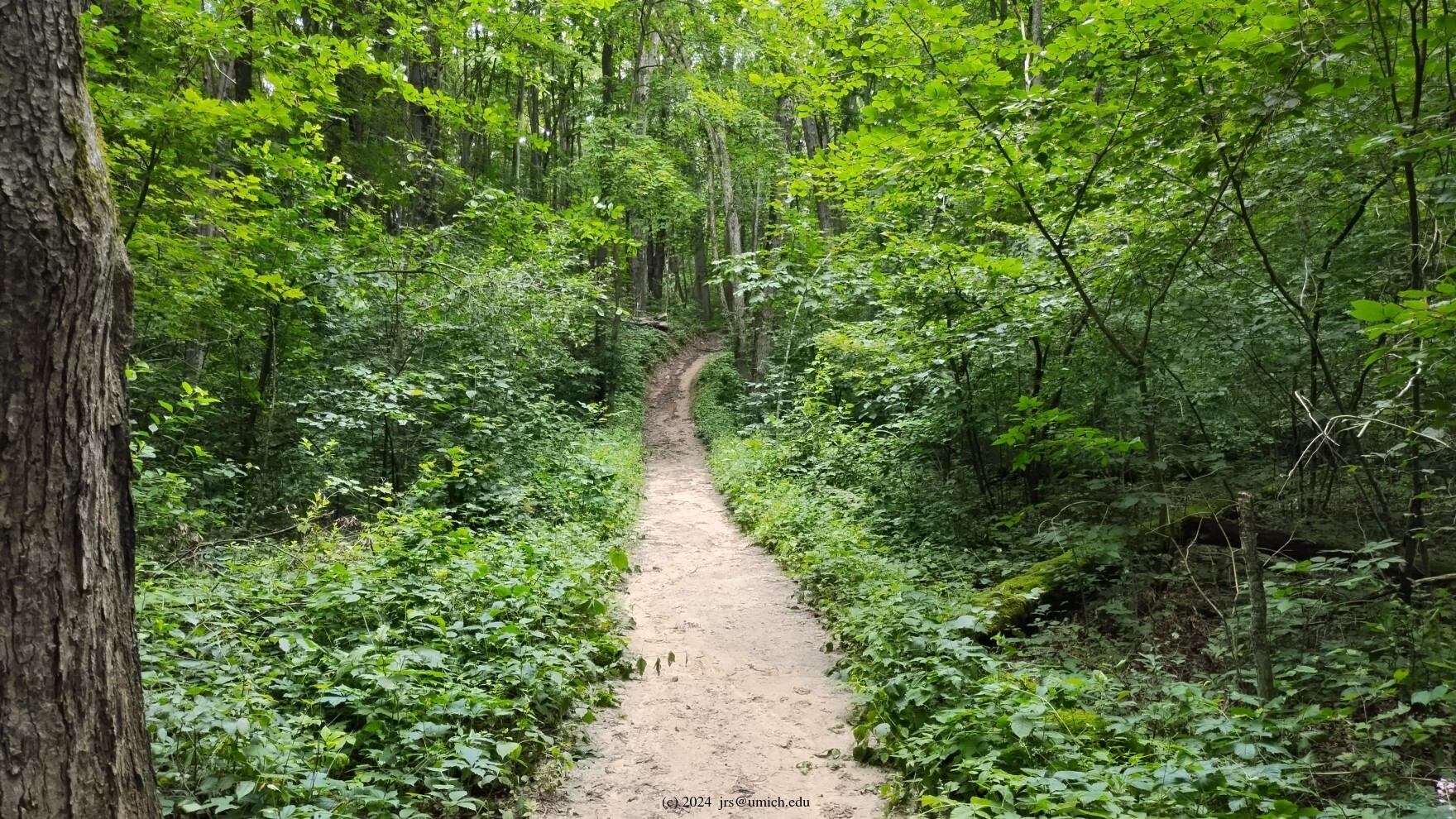
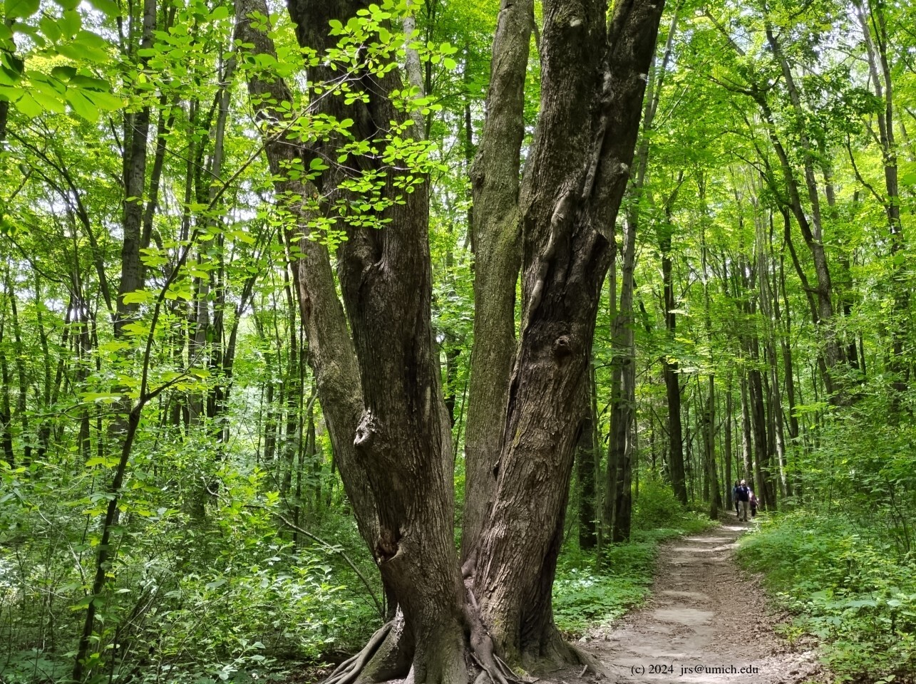


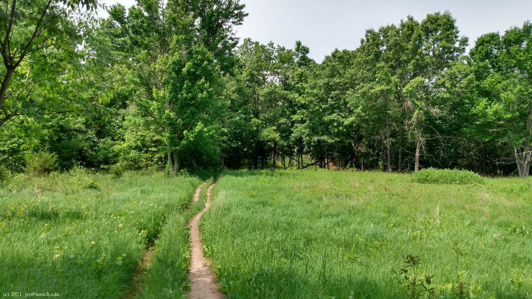
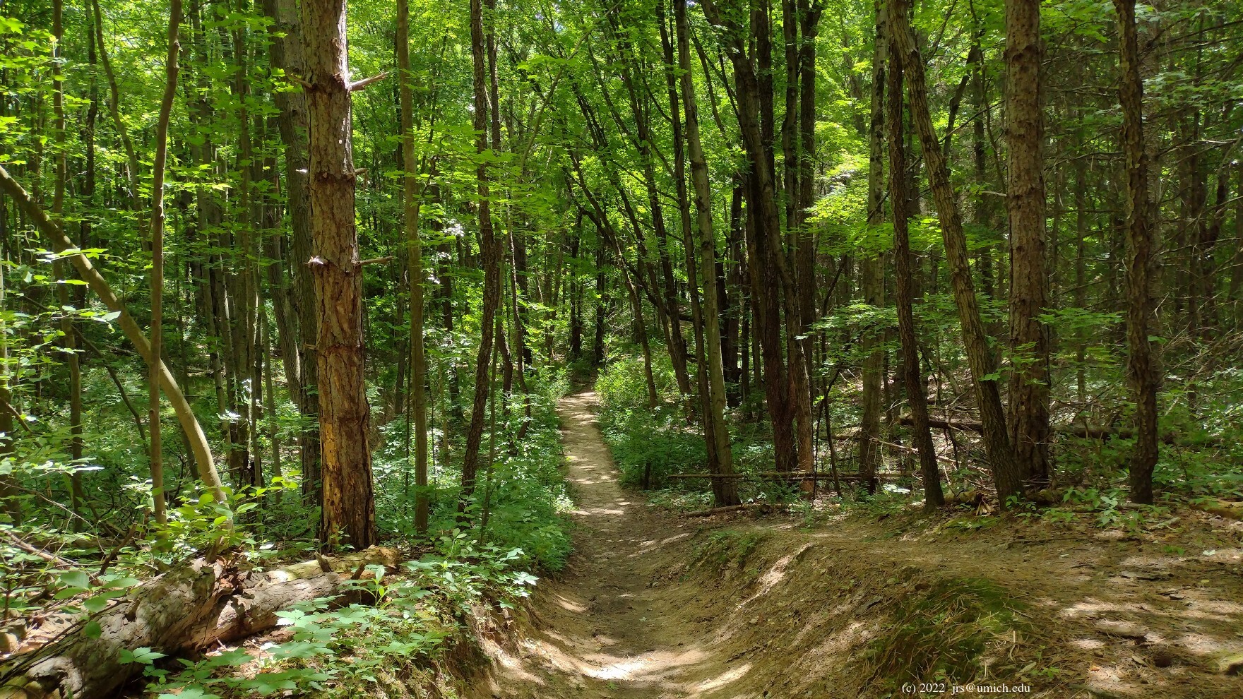
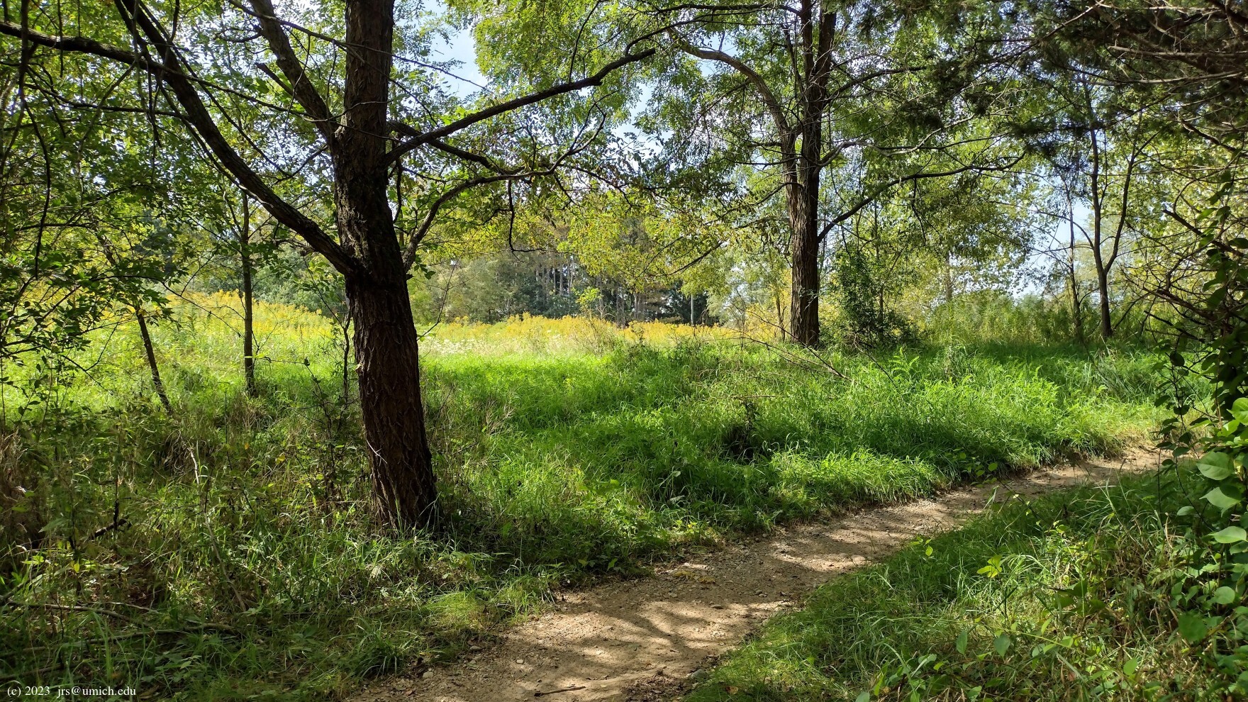
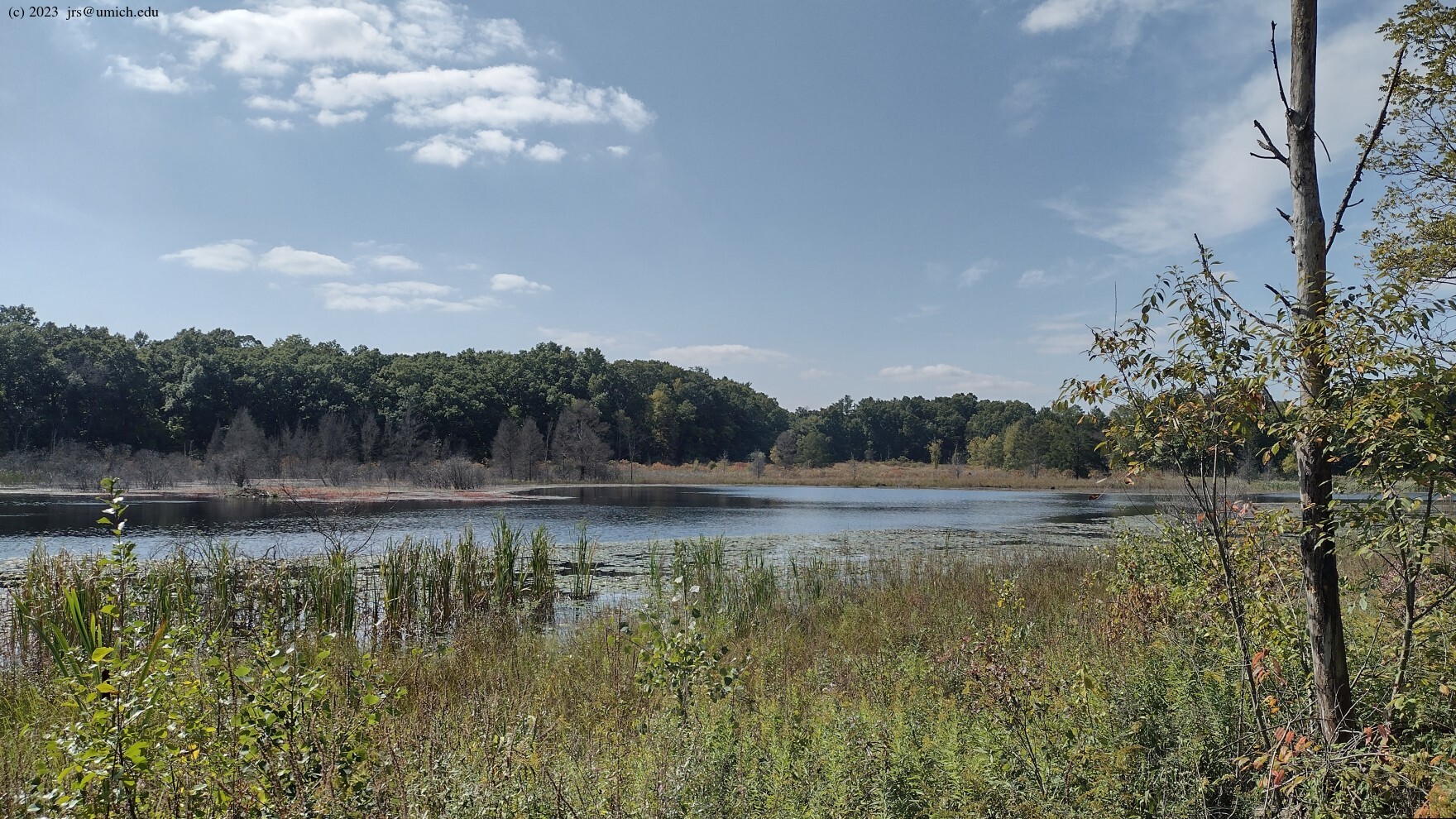
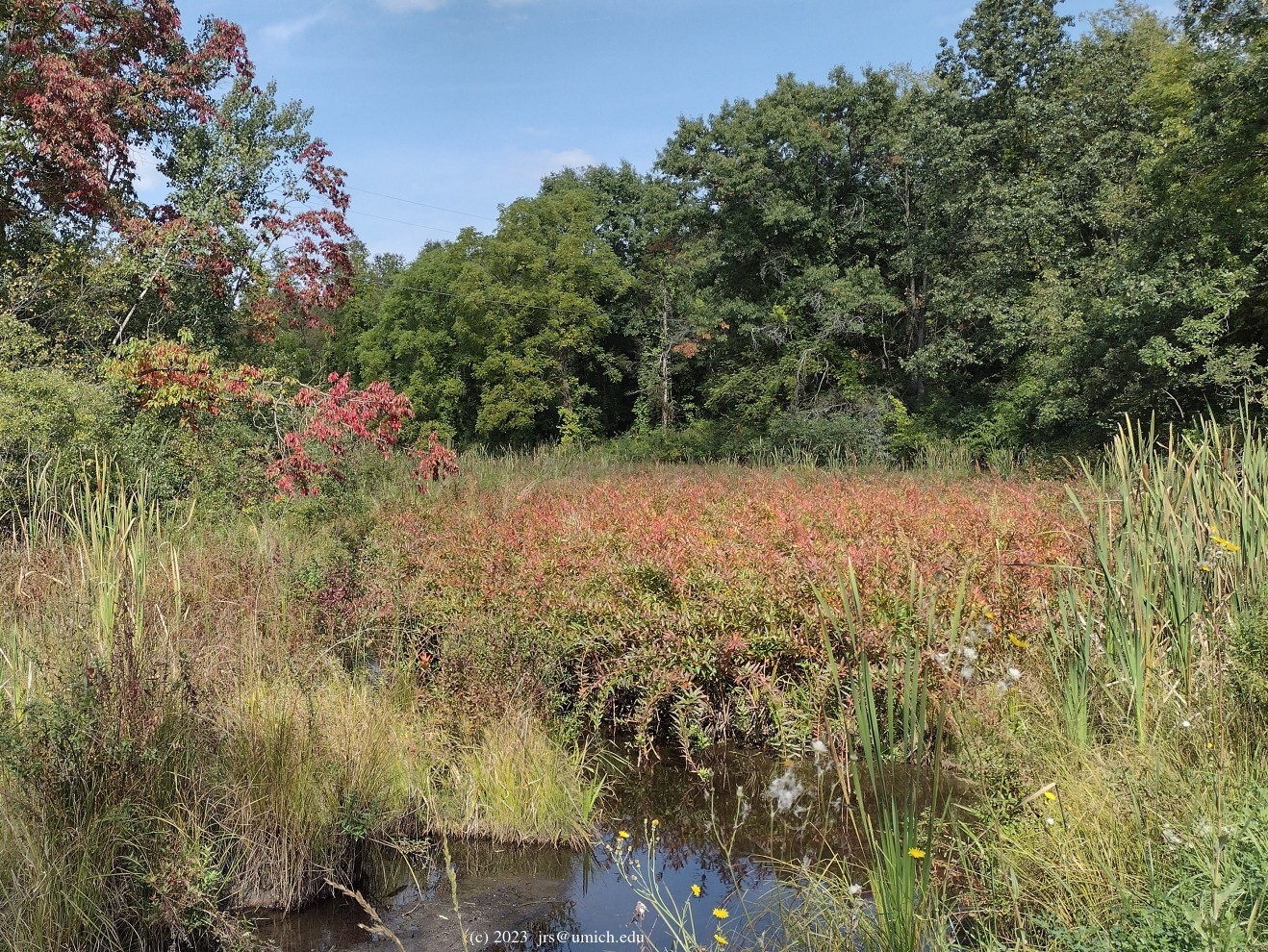
The top attraction for hikers in the Brighton Recreation Area is the fabulous Penosha Trail, a hilly 5 mile loop that takes you through dense forests of hardwoods and pine. Along the way you will also encounter ponds, wetlands, and prairie. The Kahchin Trail offers a shorter hike through this terrain and uses some of the same trail segments. It is also possible to fashion a hike that includes most of both trails.
N.B.: Penosha and Kahchin are Ojibwe words that mean "long" and "short".
 of the setting more than makes up for it.
Some tips for sharing the trail with mountain bikers
and for incorporating sections of the Torn Shirt Trail
into a Penosha/Kahchin hike are provided below.
of the setting more than makes up for it.
Some tips for sharing the trail with mountain bikers
and for incorporating sections of the Torn Shirt Trail
into a Penosha/Kahchin hike are provided below.
All five trails pass through areas where hunting (in season) is allowed.
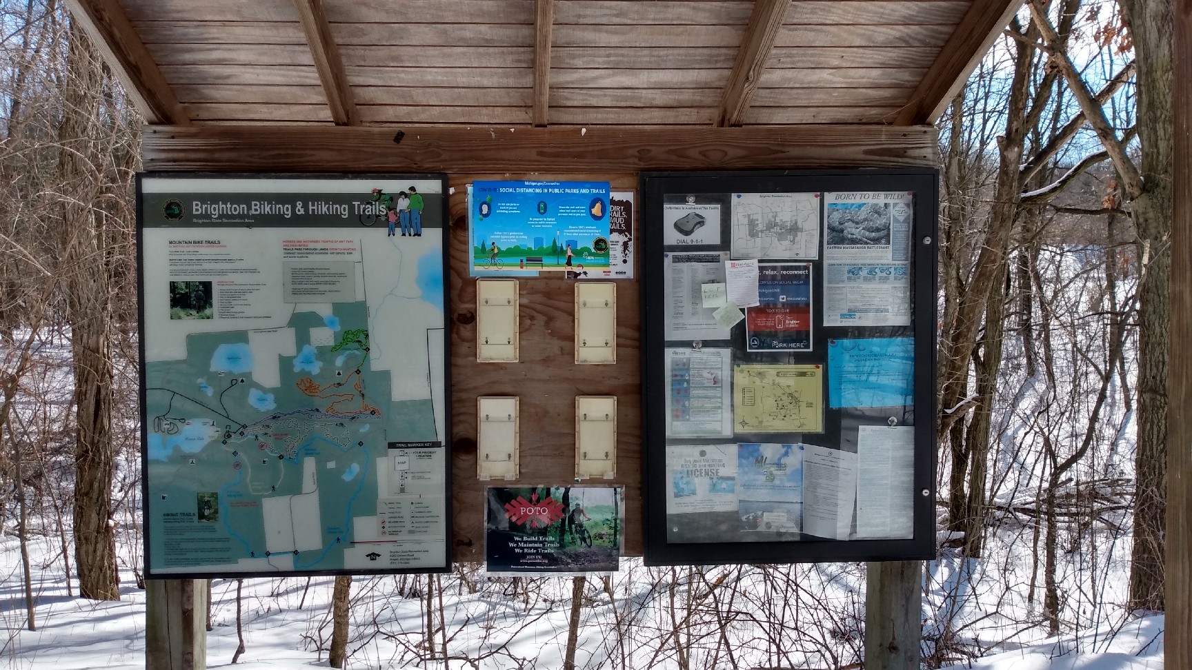
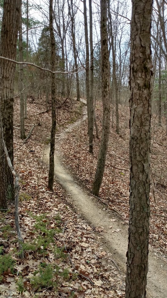
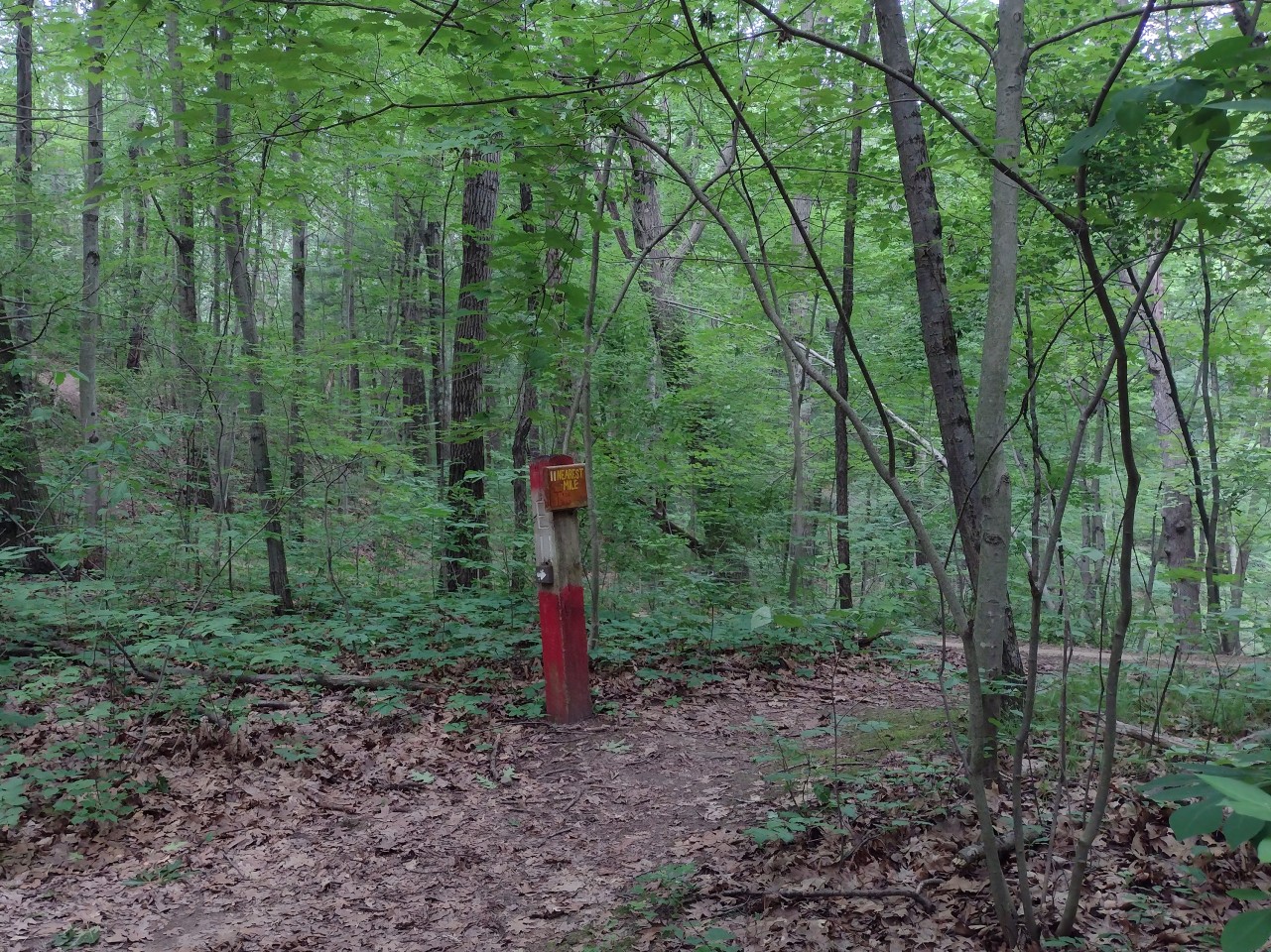
These two hiker-only trails are well-maintained, with trail markers at
several branching points to guide you. The
trailhead
is located on the east side of the parking lot, but the true starting
point for the trails is about 75 yards farther east at
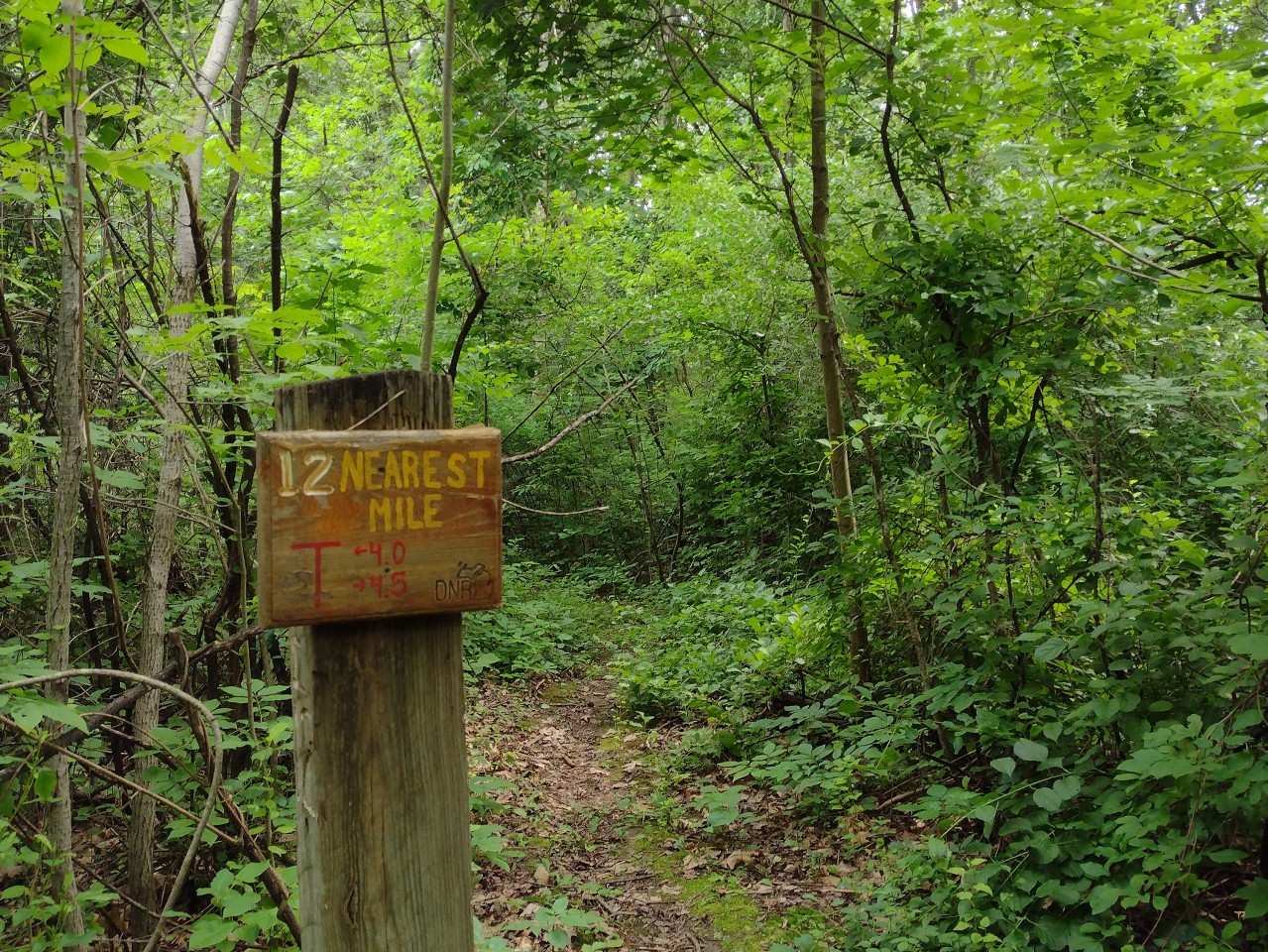
Trail Marker 1 .
The trailhead displays a map indicating that the Penosha Trail is 6 miles long. This seems to be an exaggeration -- OpenStreetMap data suggests that a round trip (from Marker 1 back to Marker 1) is 4.75 miles, or 4.85 miles if you include the walk out and back to the parking lot. This is more in line with what is posted on the online trail map (5 miles), and is consistent with the mileage markers installed recently on the trail.
The Kahchin Trail also seems to be a bit shorter than the advertised 2 miles. The OpenStreetMap suggests that it is about 1.6 miles long (marker to marker), or 1.7 miles if you measure starting from the parking lot.
You can combine the best of both hikes by traversing the Penosha Trail Markers 1, 7, 12, 11, 10, 9, 8 in that order (i.e., counterclockwise), returning via the Kahchin trail from Marker 8 to Marker 12, and then back to 1 via 7. This hike is about 5.3 miles long.
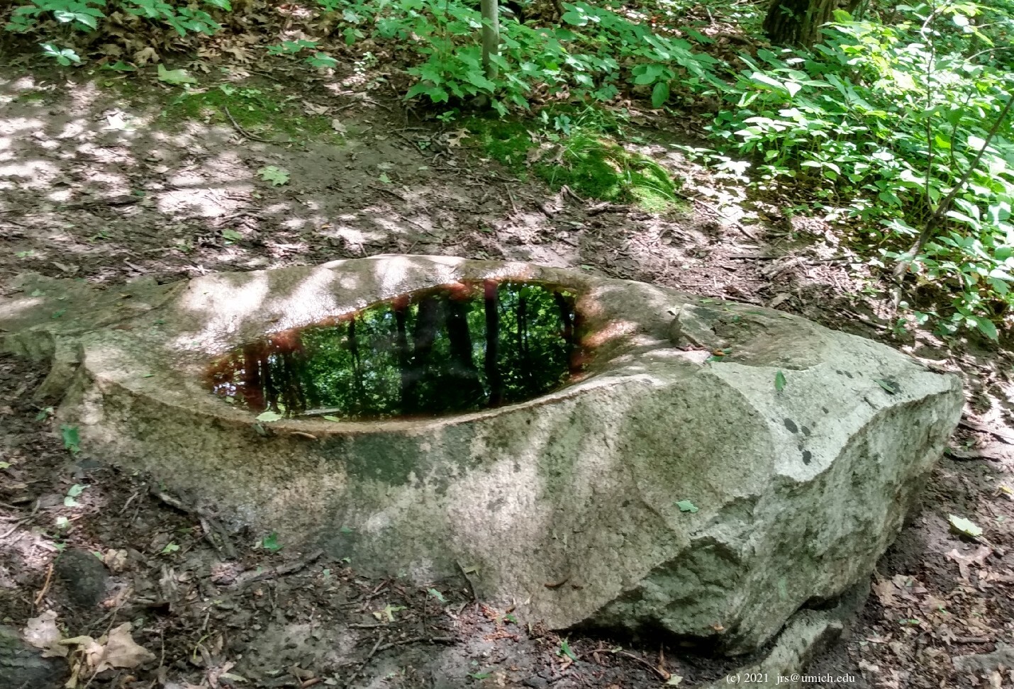
A tip to be filed under Calibrating Your Expectations:
If you zoom in on the OpenStreetMap, you'll notice an intriguing
feature labeled "Rock Bath" at about the midway point of the Kahchin
Trail. While this may conjure up images of a human-sized basin fed
by a spring, the reality is a rather modest
bird bath .
West of the parking lot is
Bishop Lake
and the 1 mile Bishop Lake Trail.
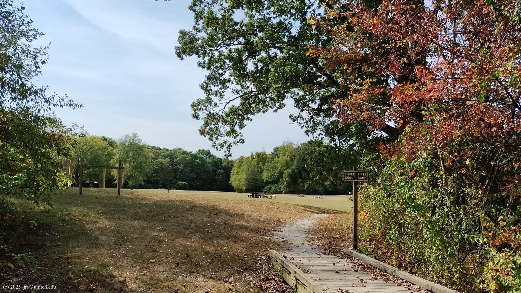
The latter is a point-to-point trail that runs along the shoreline
between the Three Fires Group Camp on the south side and the Bishop Lake
Campground on the northwest side. While you may want to take advantage
of the lake area amenities, the trail itself is rather tame. About half
of it -- in the vicinity of the beach area on the north shore -- is a
concrete sidewalk.
If you enjoy testing your navigational skills and
are undaunted by the potential for making wrong turns,
it is possible to take a side trip along an unpaved portion
of the Bishop Lake Trail and eventually join the Penosha Trail
at about the 0.85 mile mark.
Heading west from the parking lot, turn left (south) onto the
Bishop Lake Trail, following it to where it ends at the
Three Fires Group Camp .
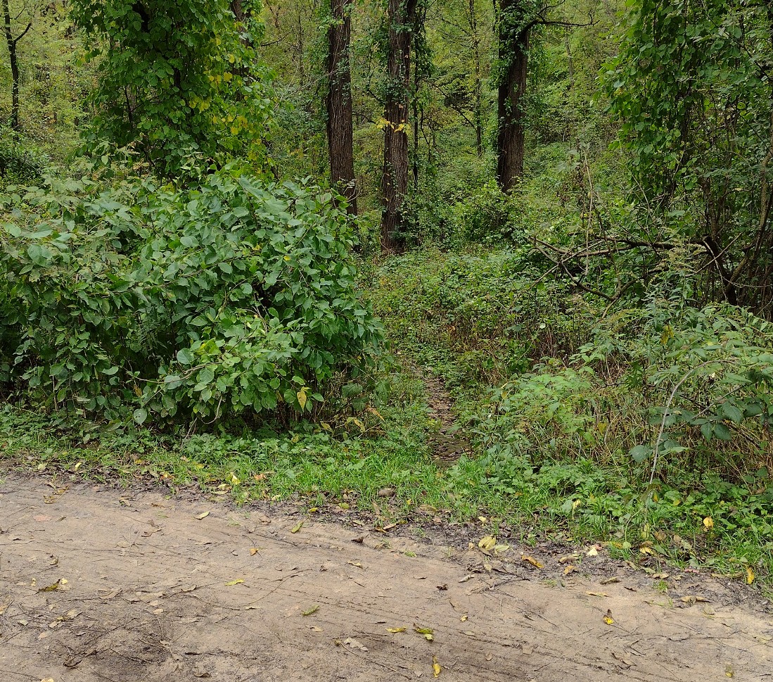
Provided that the camp is not occupied, make your way to the gated
vehicle entrance on the opposite side and turn left onto the access road.
After 1/8 mile, look for
a trail on your right
headed southeast. Continue southeast on this trail for about 0.4 miles,
where a branch of the trail to your left (east) continues for another
75 yards and joins the Penosha Trail.
I've created a
GPX route map
[What's this?]
that shows three tracks: the Kahchin Trail, the Penosha Trail,
and a hybrid 5.7 mile hike that starts with the Bishop Lake side trip
before joining the southbound Penosha and finishing on the Kahchin.
A fourth option is this
3.3 mile route
available on MapPedometer. It also follows the Bishop Lake side trip,
but after rejoining the Penosha, it heads north to Marker 12 and
takes the Kahchin Trail from there.
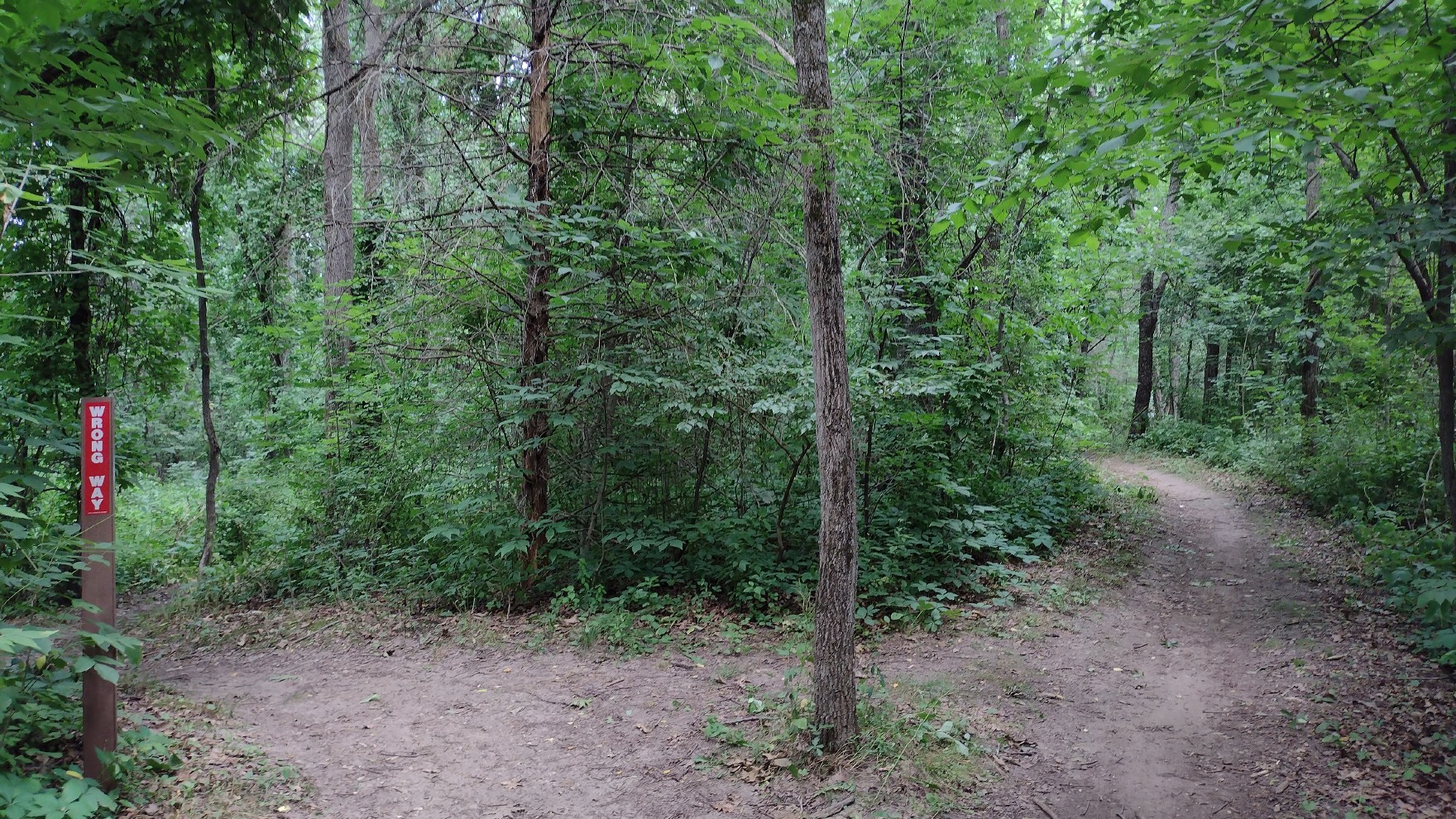
If you are interested in hiking on the mountain bike trails,
be aware that they are
narrow
and single-track. Bike traffic is allowed
only in the counterclockwise direction. My advice for hikers
is to travel clockwise and be prepared to yield the
right of way. You'll know you're moving in the right direction
when you see trail markers that read "Wrong Way".
On the other sides of those markers are mileages for the bikers.
At Marker 1, the trail splits
three ways .
Penosha and Kahchin hikers take the right branch,
Torn Shirters and Murray Lakers the middle branch,
and Appletonians the left. The middle and left branches have short
segments of two-way traffic leading from Marker 1 to another
fork in the trail (such as
this one ).
Bikers will take the right branch; clockwise hikers,
the left branch.


The 4.25 mile Appleton Trail is a series of three loops that are
linked together. It is apparently the newest of the park's trails,
since it is not even shown on the map at the trailhead, and the online
trail map shows only the first of the three loops. The complete set
is shown on the OpenStreetMap (labeled "Appleton Loop",
"Appleton Extension", and "Appleton North") as well as at
trailforks.com .
As a mountain bike trail, the Appleton is considered easy. There are some
modest hill climbs but no major technical challenges. Hikers will
appreciate that it has only a few sharp turns -- the emphasis is on forward
progress, not twisty tests of biker skill. The landscape is almost entirely
forested, aside from a brief stretch through a grassy open field. There are
also some tantalizing glimpses of two lakes (Appleton and Little Appleton).
Should you wish to see the lakes up close (as shown
here
and
here ),
note that there are two places where the trail crosses the access
road to the lakes. Taking a side trip on the access road will add
about 1/2 mile to your hike.
The outbound (clockwise) portion of the trail runs relatively close to unpaved Bishop Lake and Cunningham Lake Roads, so you may be forced to endure road noise from the occasional passing vehicle. However, the inbound portion is much quieter. It runs deeper into the forest, and at times there is further buffering provided by intervening hills and ridges.
I've saved a GPX route map for a
4.7 mile hike
[What's this?]
on the Appleton Trail that includes a side trip to the lakes.
On older version of this route is still available online at
MapPedometer .

The Murray Lake Trail offers a longer trek through wooded areas with occasional wetlands and modest hills. There are glimpses of Reed Lake and Murray Lake along the way. As a mountain bike trail it is rated "intermediate", but for a hiker I would still consider it easy. While the up and down hilly segments are numerous, they each involve changes in elevation of less than 50 feet. It has a few more twists and turns than the Appleton Trail, but not enough to mar the experience for hikers.
The twistiness makes it difficult for mappers to accurately measure the trail length. In any case, it is clear that a round trip from the parking lot is longer than the 7.0 mile estimate one obtains from OpenStreetMap data and perhaps a bit shorter than the 8 mile estimate posted on the official trail maps. The mile markers posted along the trail do seem to be fairly accurate, suggesting that the true length is 7.7 miles.
There are quite a few shortcuts and extensions available on the trail allowing you to fashion shorter or longer hikes. For example, less than 2 miles into the hike, the trail intersects itself at Marker 4. A clockwise hiker would normally turn left at this spot to continue; a right turn would lead back to the trailhead, resulting in a hike of perhaps 3.75 miles. Passing straight through the intersection would switch your hike into counterclockwise mode. (Keep in mind that any route on these trails is likely to be 10% to 15% longer than any estimate based on OpenStreetMap data.)
Another major decision point is at Marker 5, near the entrance to
the Murray Lake Campground. A clockwise hiker would curl around to
the south here and return to the self-intersection at Marker 4.
However, the trail fork also offers a northbound entry to
three linked extensions of the Murray Lake Trail: the Lost Loop,
the Found Loop, and Ralph's Ride. Even if you prefer to skip these
extensions, you may wish to follow the northbound branch to a
nearby bridge
crossing over a stream. A short distance beyond the bridge is
Marker 6 and a shortcut that will lead you back across the bridge,
allowing a return to Marker 5. I've saved a copy of this
side trip
on MapPedometer -- it will add less than 0.4 miles to your hike.
Note that there is a path on the way (clockwise) to Marker 5 that
leads off the trail and into the Murray Lake Campground. If you
end up on this path either by intent or by accident, you will have
a prime opportunity to get a close-up view of
Murray Lake .
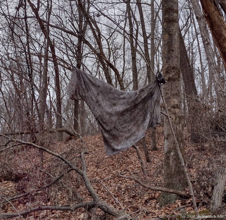
The Torn Shirt Trail is considered the most technically challenging of the three mountain bike trails. The twists and turns are tighter and more numerous than they are on the Murray Lake Trail, and the second half (for a clockwise hiker) features several steep hill climbs that I would rate as moderately strenuous for hiking.
There is a surprising variety of conflicting information about the length of the trail. A Michigan DNR sign posted at Marker 2 indicates that it is 6 miles long, data extracted from the OpenStreetMap suggests that a round trip from the parking lot is 6.9 miles long, a 2022 DNR brochure says 7 miles, and the official trail map indicates 8 miles. The mile markers posted on the trail do appear to be accurate, and if so, it means that 8 miles is very close to the truth.
If you would prefer to get just a taste of the mountain bike trails rather than a full dose, consider starting with a counterclockwise hike on the Penosha or Kahchin Trails. Along the stretch from Markers 9 to 8 to 7, there are several short connecting paths that allow you to cross over into or out of the Torn Shirt Trail and weave one or two mountain bike trail segments into your hike:
.
here as well.
connects them.
at this intersection.
On the Torn Shirt side this path is a bit less than 1 mile away from
the previous crossover and 120 yards before you reach Mile Marker 1.0,
but it may be difficult to spot through the trees and shrubs.
where the two trails pass within a few feet of each other
and there is a clear path between them.
Crossing over here will not appreciably change
the length of your hike, and with Marker 1 only 1/4 mile away,
the duration will be brief.
If your goal is to use the Torn Shirt Trail to burn some calories,
be sure to include the 2.3 miles between the second and third crossover
points and the 1 mile between the fourth and fifth. The steep hills
and deep basins are most prevalent in these two sections.
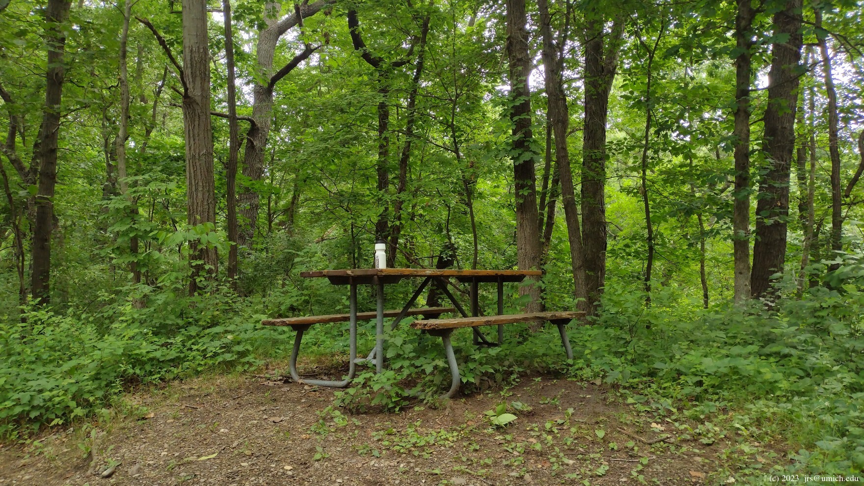
Quirky highlights to look for are the trail's presumptive
namesake
and a how-did-they-get-it-up-here
picnic table .
I've saved a GPX route map [What's this?] that shows the Torn Shirt Trail as well as an easier hybrid route that replaces the more intense calorie-burning parts of the Torn Shirt with a segment on the Penosha Trail. The hybrid route initially follows the Torn Shirt Trail to the first crossover point (labeled "X1" on the map), switches over to the Penosha for the passage to Marker 8 ("X5"), and then rejoins the Torn Shirt for the finish. Although the GPX file suggests that this hike is 4.7 miles long, I estimate its true length to be about 5.4 miles.
Head north on US-23, taking Exit 54B to westbound M-36 (9 Mile Road). Follow M-36 for 5 miles as it snakes north and west, turning right (north) onto Chilson Road just after you pass the Kroger. Continue the north and west snaking on Chilson and look for the Bishop Lake Road entrance to the Brighton Recreation Area on your right after 3.75 miles. Follow the signs to the Bishop Lake Complex about 1.4 miles down this road on the right (south). Turn right again to reach the large parking lot and trailhead.
Driving time from North Main in Ann Arbor is about 25 minutes.
A Michigan
recreation passport
is required for vehicle entry.
[The] Brighton Recreation Area provides 4,947 acres of recreation for park visitors to use. The area has a combination of high, irregular ranges of hills, interspersed with a number of attractive lakes. [It] has several miles of trails available for [equestrians], mountain [bikers] and [hikers]. Oak forest, thick hedgerows and open spaces blend on the uplands while grassy marshes, shrub marshes and dense swamp timber mark the lowlands.