 ,
OpenStreetMap
,
OpenStreetMap
Losee Lake (2004 PDF), Waterloo-Pinckney Trail (2015 PDF)
,
park map (2025 PDF)
,
OpenStreetMap
,
park map (2025 PDF)
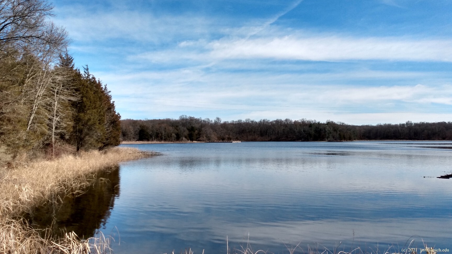
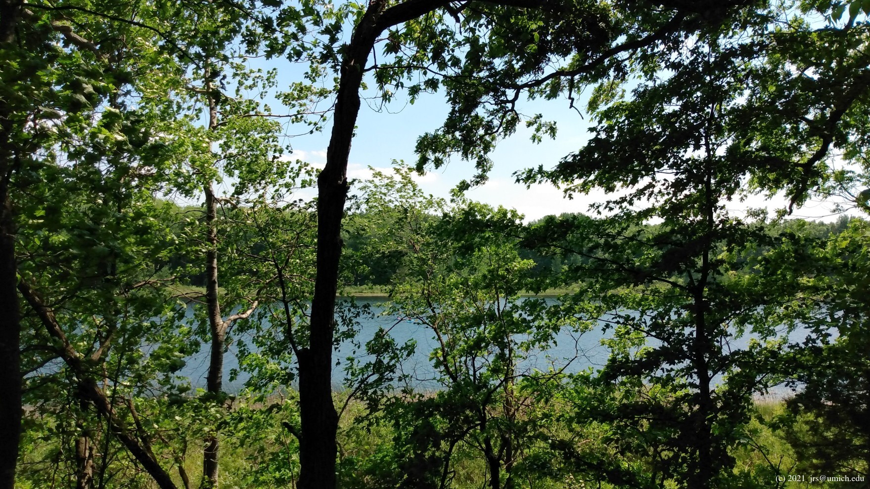
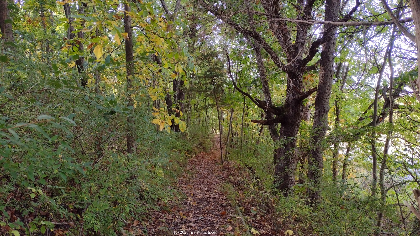
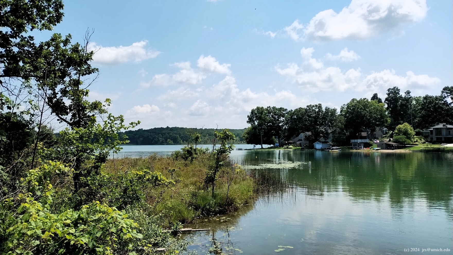
Photos from the Crooked Lake Trail, including views of Silver, Crooked and Pickerel Lakes:
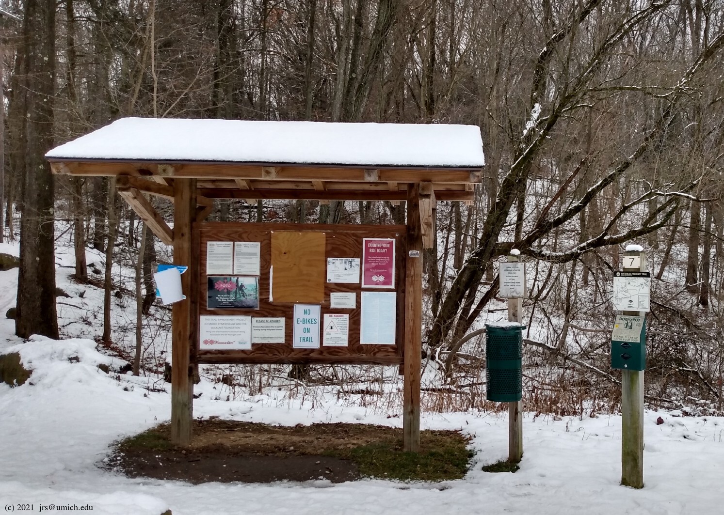
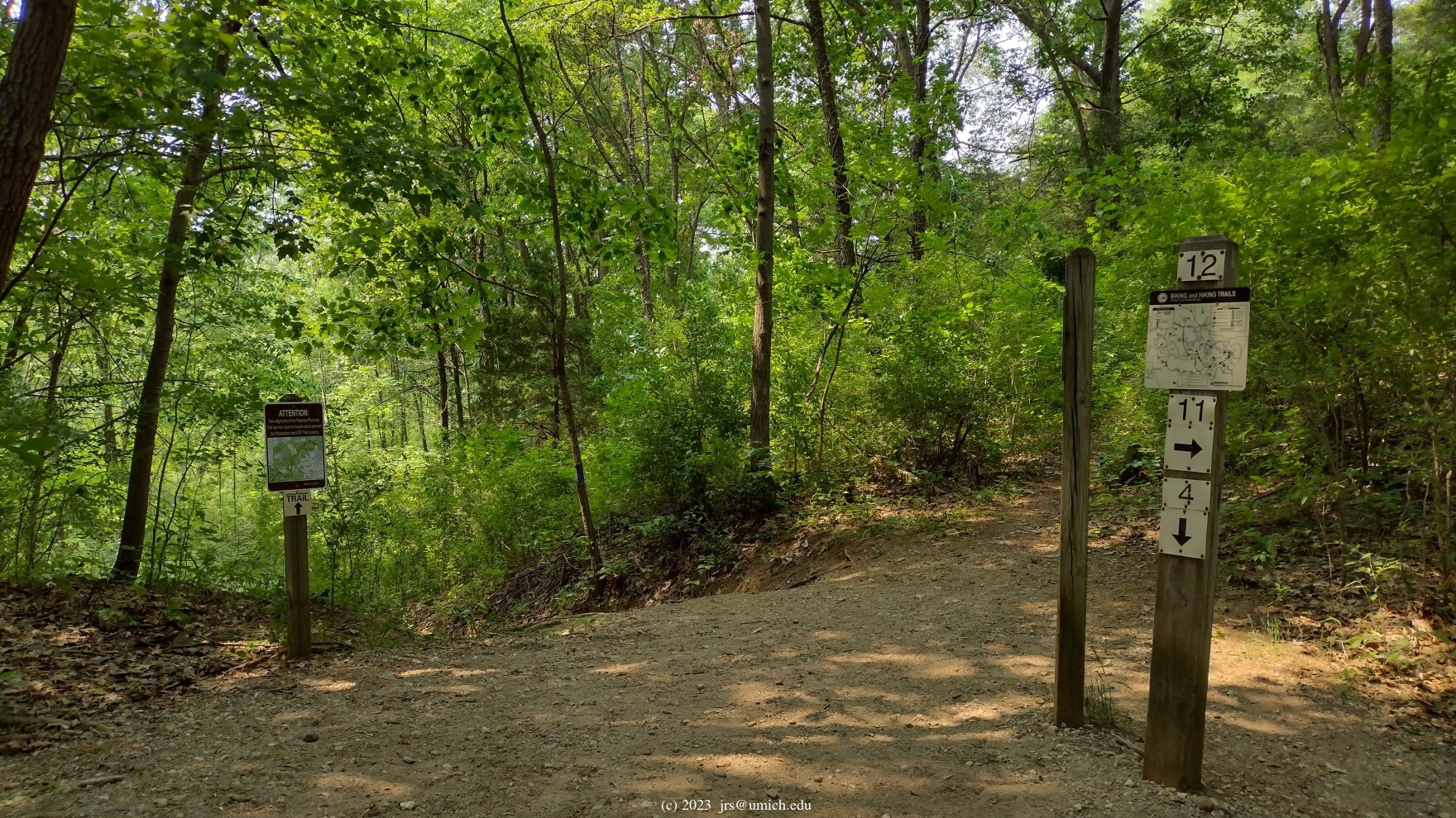
Photos of Trail Marker 7 and points farther west near Markers 4, 5 and 6:
 .
My experience has been that the OSM tends to be more accurate and
up-to-date compared to what is posted on the Michigan DNR website.
.
My experience has been that the OSM tends to be more accurate and
up-to-date compared to what is posted on the Michigan DNR website.
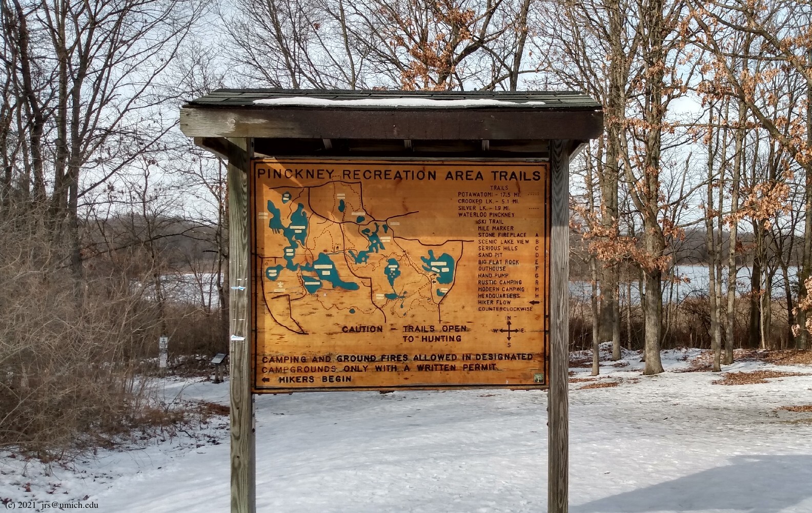
The Silver Lake, Crooked Lake and Potawatomi Trails are multi-use: hiking, cross-country skiing, and mountain biking are allowed on all of them. Hikers are expected to traverse the loops counterclockwise, whereas mountain bikers ride clockwise.
Mountain bikes are not allowed on the Losee Lake Trail; leashed dogs are allowed throughout.
The trails pass through areas where hunting (in season) is allowed.
1. (Summer 2022).
On the Waterloo-Pinckney Trail, bikes were at one time allowed
only on the portion that overlaps with the Potawatomi Trail.
Marker 12  near Blind Lake is where the trails separate; bikes were
forbidden on the W-P Trail beyond this point. However, the mountain
biking crowd seemed to think it unbearable that one could
not easily ride from the Potawatomi Trail to the DTE Energy
Foundation Trails west of M-52. Consequently in June 2022 the
W-P Trail was opened up to bike traffic in both directions between
Marker 12 and Embury Road.
near Blind Lake is where the trails separate; bikes were
forbidden on the W-P Trail beyond this point. However, the mountain
biking crowd seemed to think it unbearable that one could
not easily ride from the Potawatomi Trail to the DTE Energy
Foundation Trails west of M-52. Consequently in June 2022 the
W-P Trail was opened up to bike traffic in both directions between
Marker 12 and Embury Road.
2. (Summer 2024).
The Potawatomi Trail is undergoing
renovations ,
and this has led to some new routing in a few places.
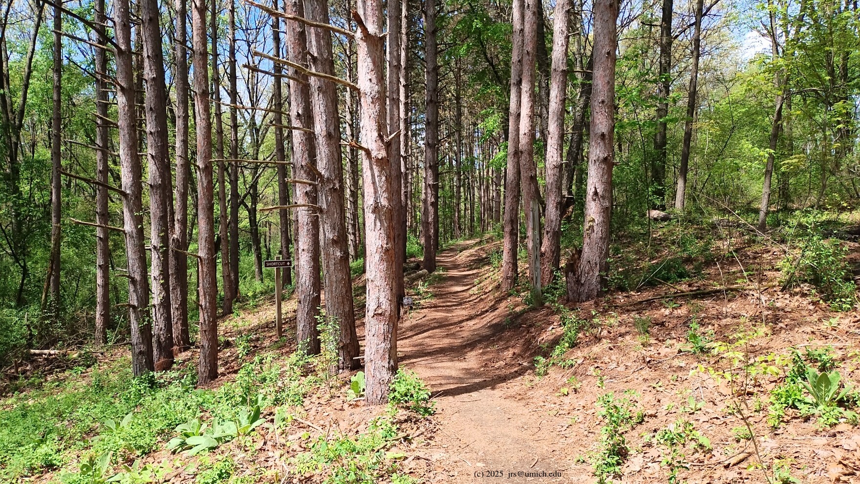
For example, a counterclockwise hiker heading north on the segment
between the Hiland Lake access road and Patterson Lake Road will
discover that a new part of the trail now winds through
a stand of pines
on a path that runs to the left (west) of the old route.
Also, once you cross Patterson Lake Road,
the old route followed the Gosling Lake access road to the boat launch
area before continuing northbound. Now, shortly after entering the
access road, the Potawatomi branches off to the left, and later crosses
the access road before continuing along the old route north of the
boat launch.
3. (December 2024).
The latest renovations of the Potawatomi have resulted in a
drastic re-routing of the trail
in the area south of Patterson Lake Road
and north of Halfmoon and Hiland Lakes. In particular, Markers 10
and 11 are in new locations, and there are segments of the original
Potawatomi that no longer exist. Some tips for navigating through this
changed landscape are provided below.
4. (Summer 2026).
Possibly the last of the planned renovations of the Potawatomi is now
in place. It provides a
new route
around a
marsh area
where the old route was often muddy. The new route traverses mostly
higher ground and is about 1/4 mile shorter than the old route
(which no longer exists). For counterclockwise hikers,
it begins 0.6 miles south of Marker 4.
New! The GPX route maps I have provided below for the Silver, Crooked, and Potawatomi Trails now show the trail markers, including the new locations for Markers 10 and 11.
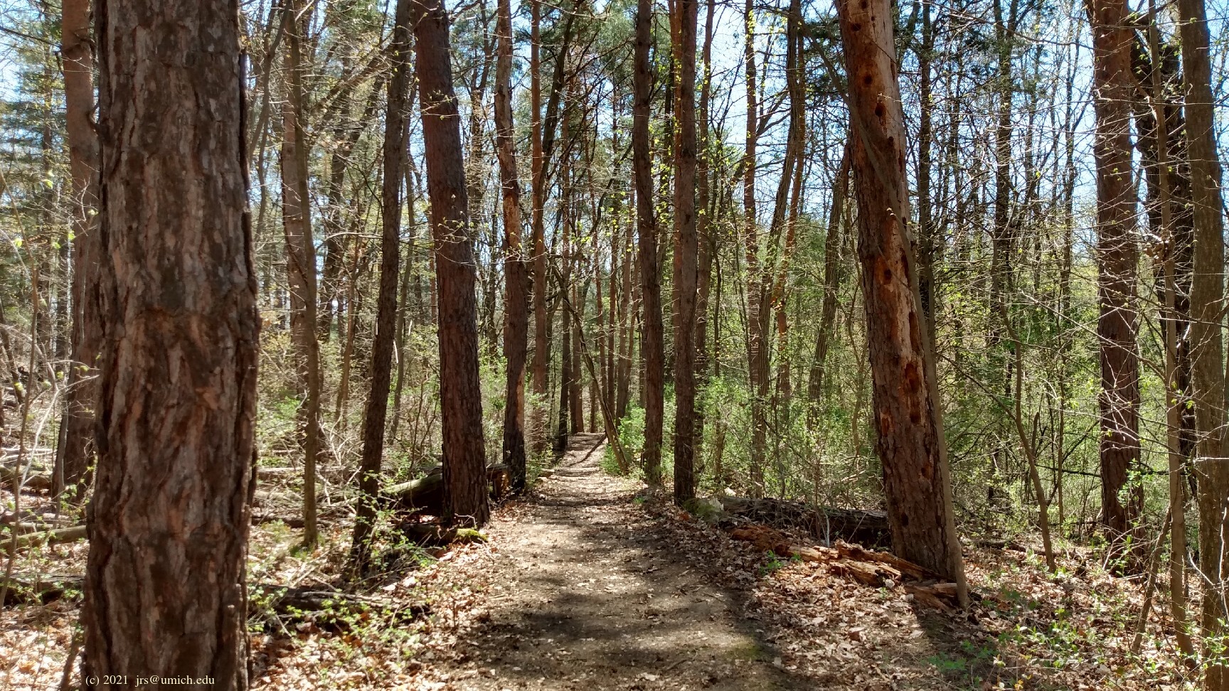
For hikers, the first three trails listed above (Silver Lake, Crooked Lake,
and Potawatomi) all have a common trailhead located north of the
parking lots. Look for
Trail Marker 1
and proceed from there to Marker 2.
Mountain bikes are not allowed on this section of the trail.
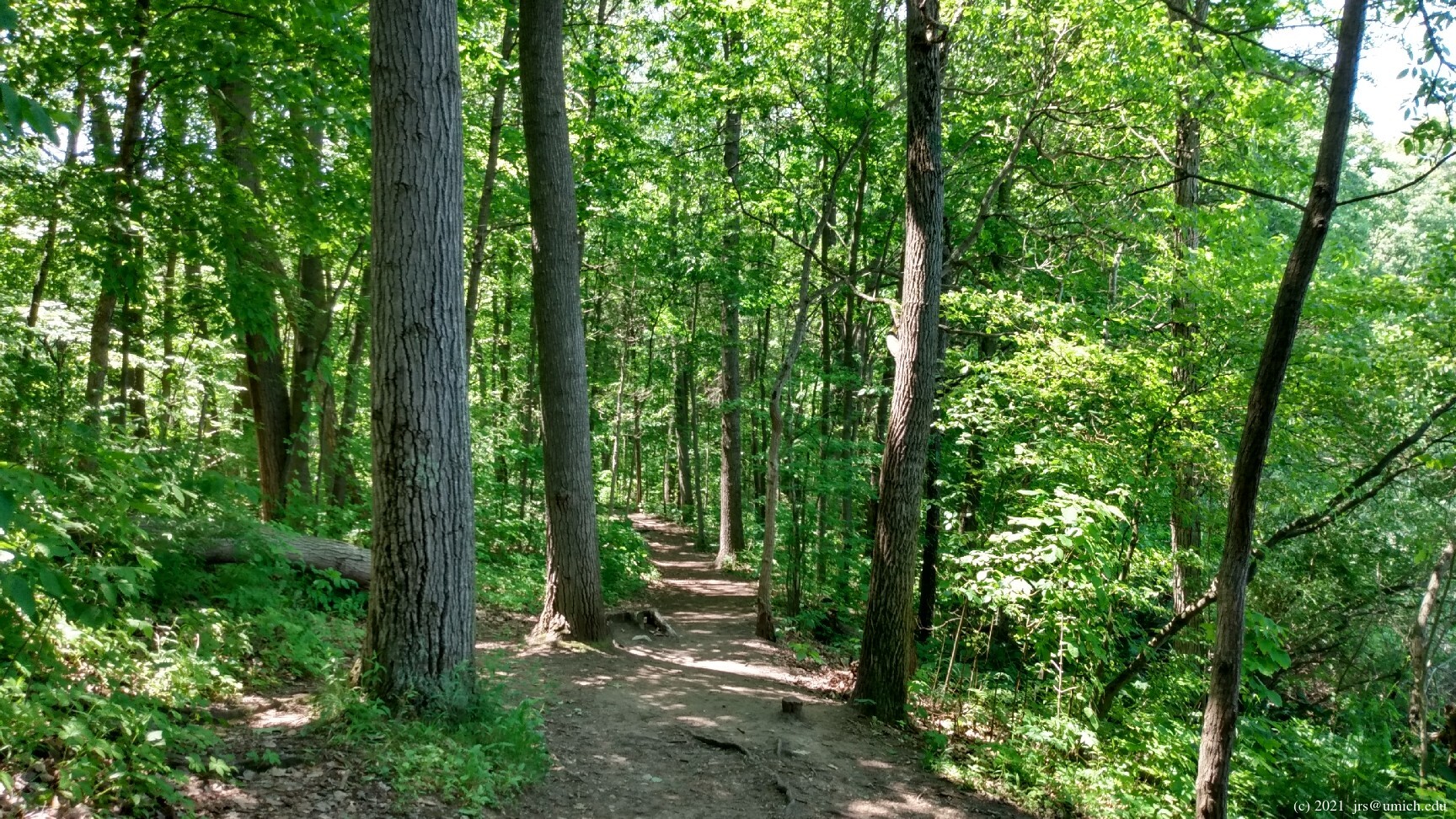
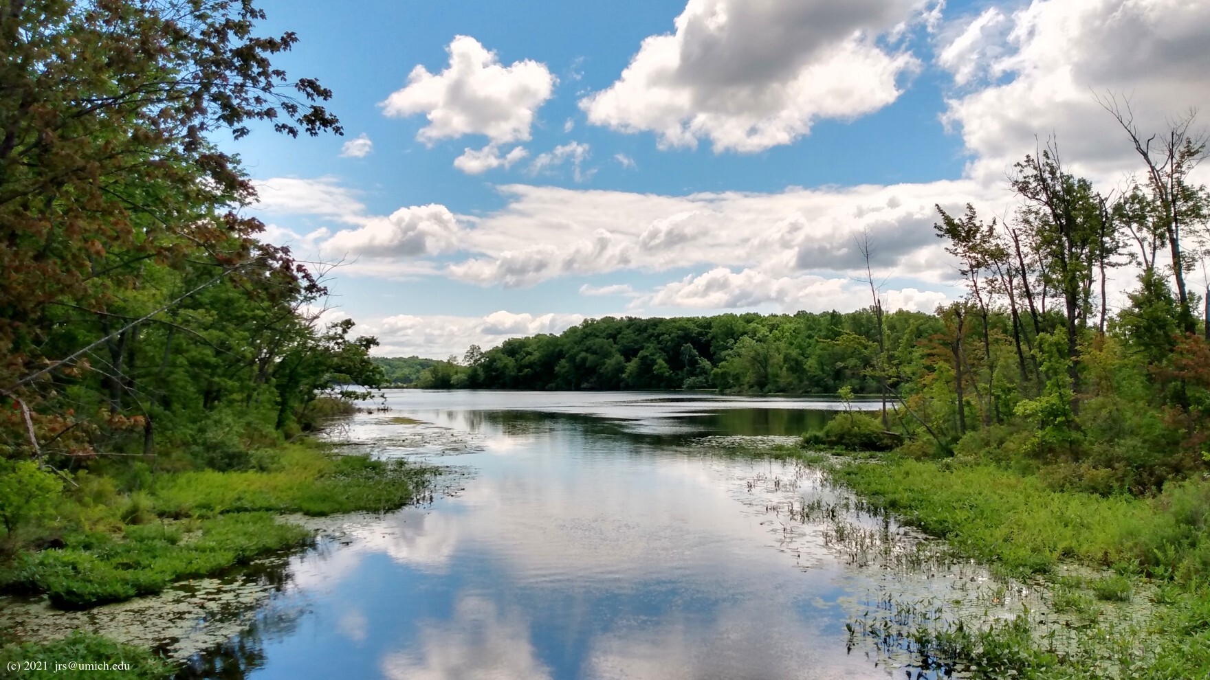
From Trail Marker 1, this 2.3 mile route passes through
Markers 2, 3, 4, and 5
in that order, ending at Marker 7 near the south parking lot.
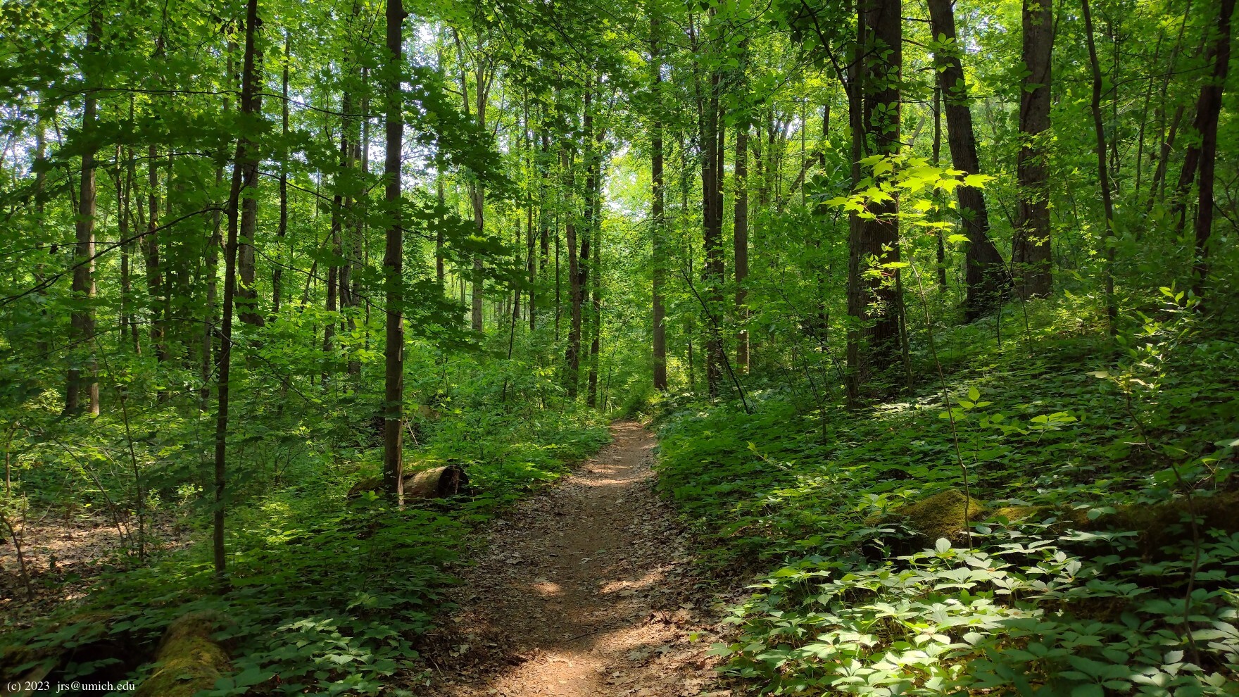
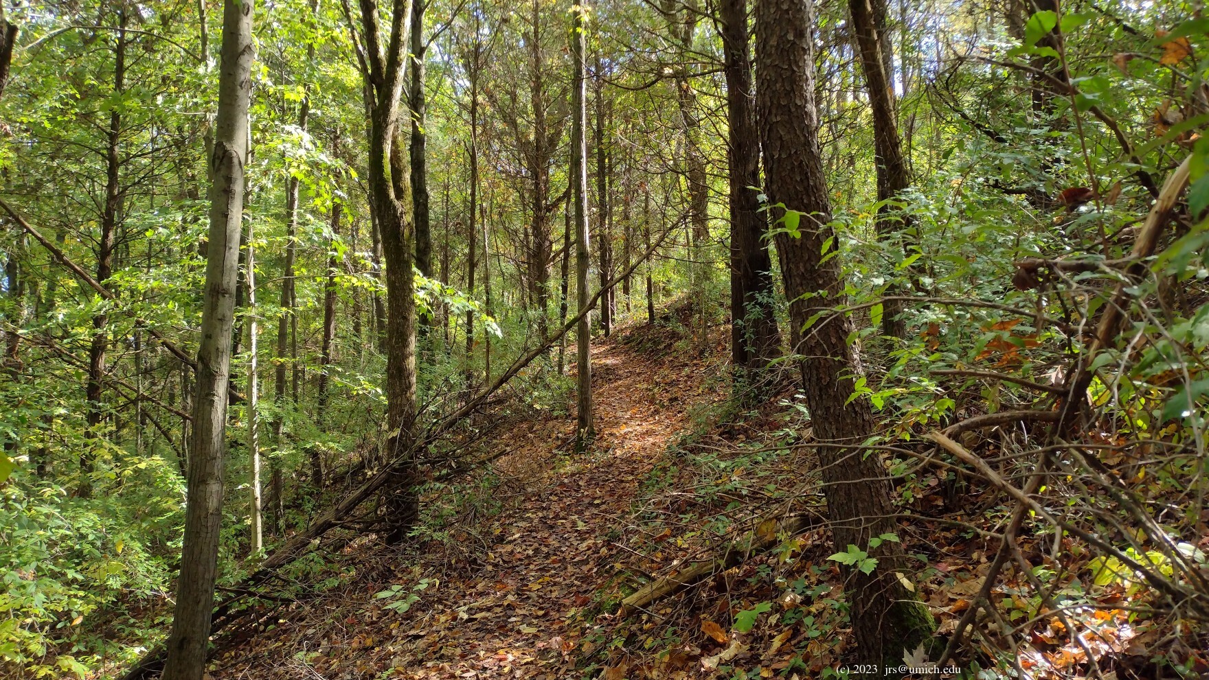
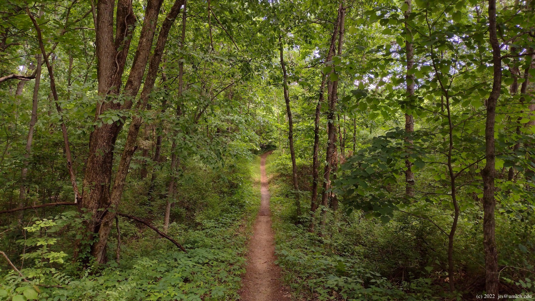
Along the way, it traverses up and down a few steep hills
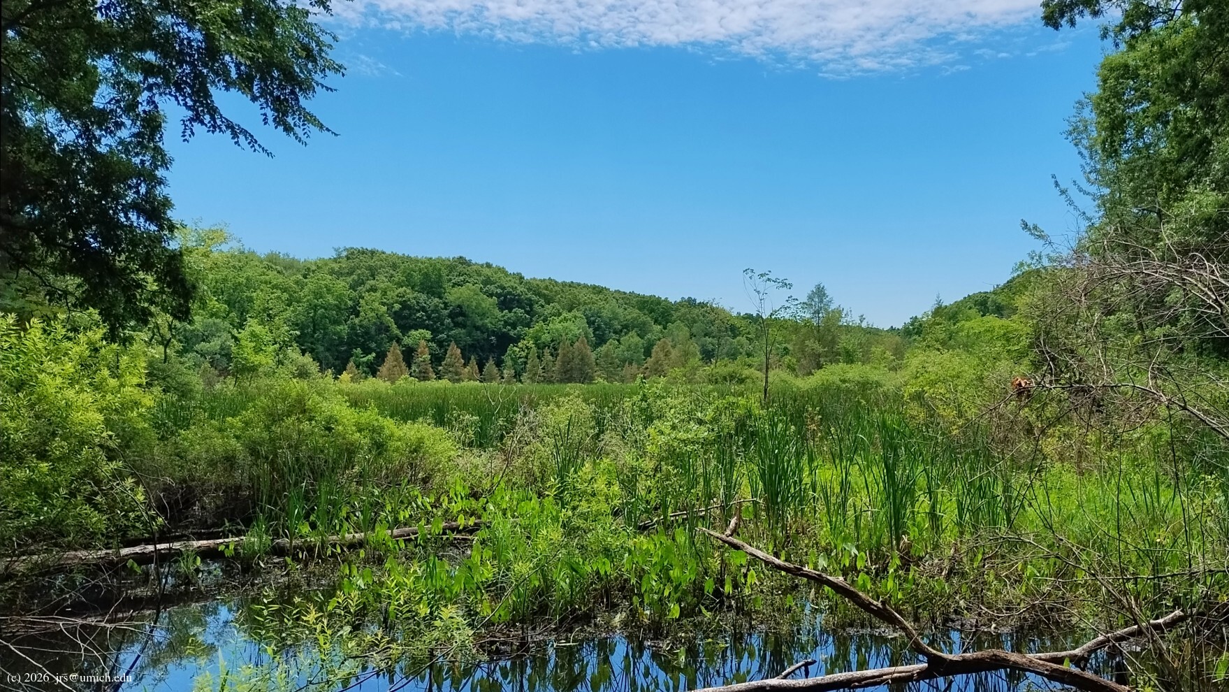
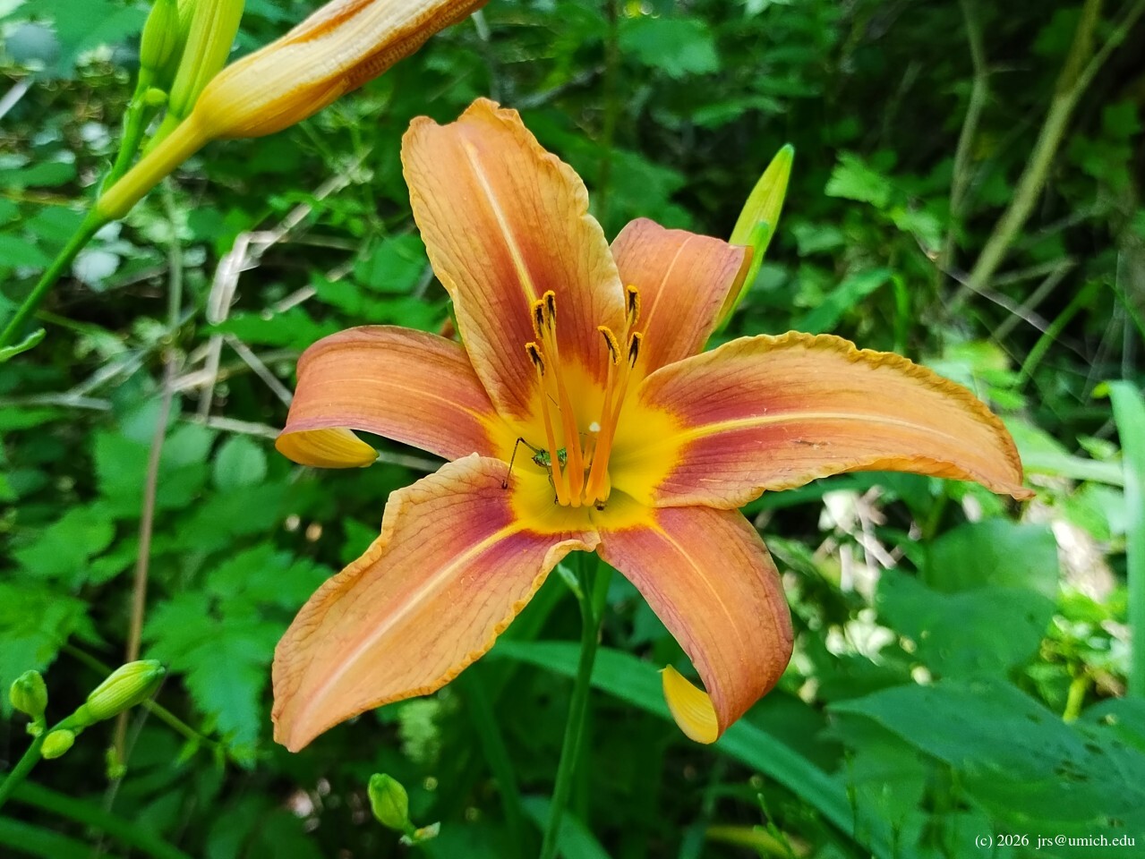
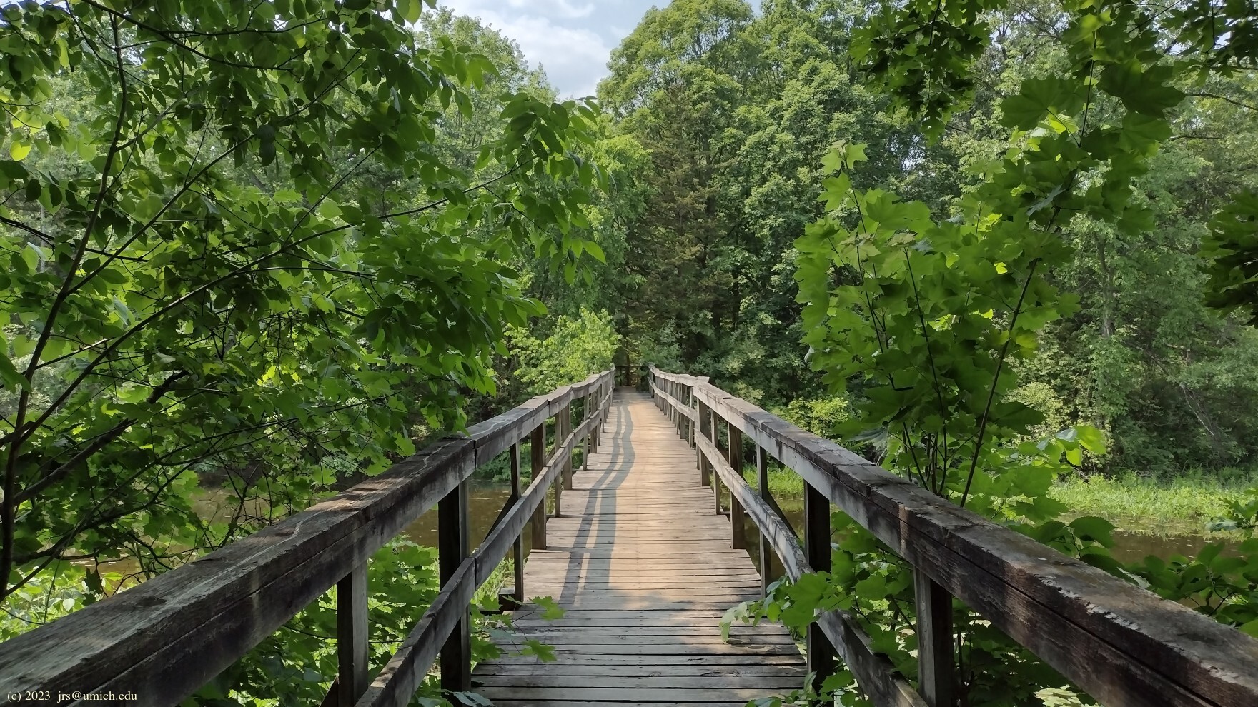
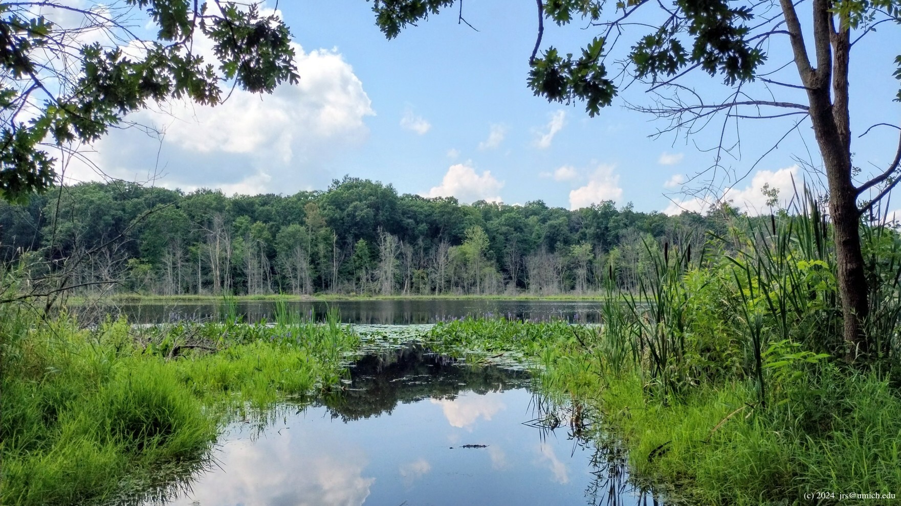
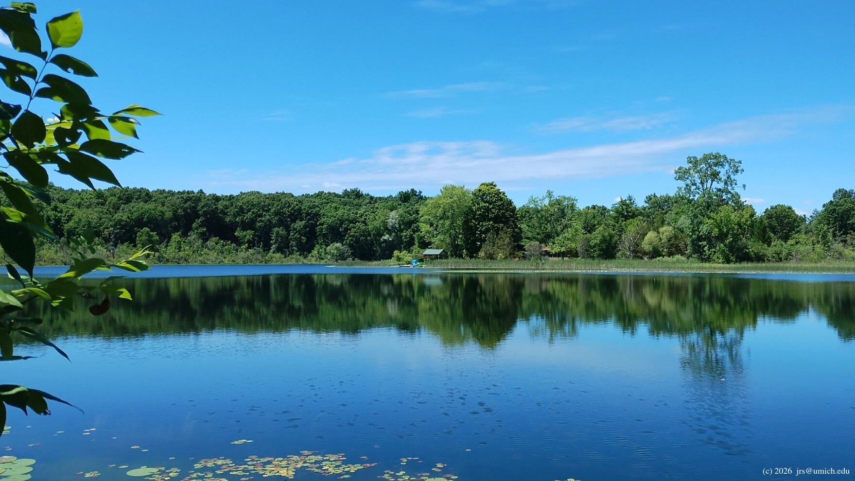
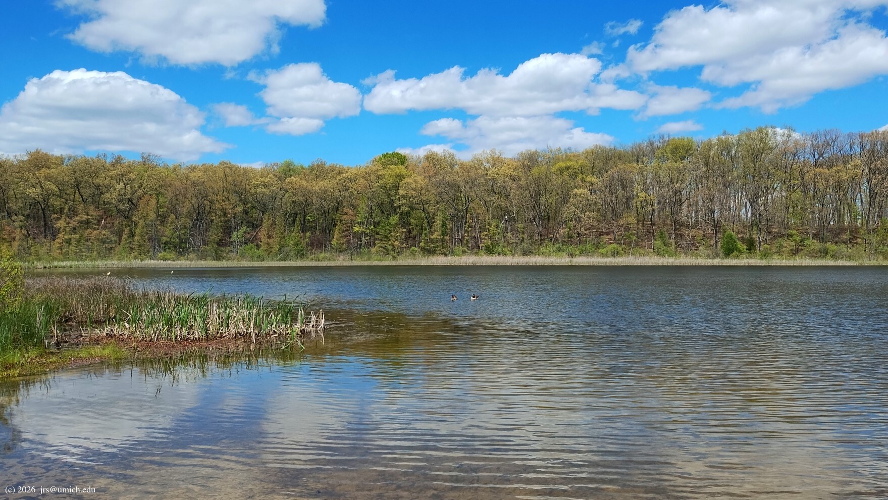
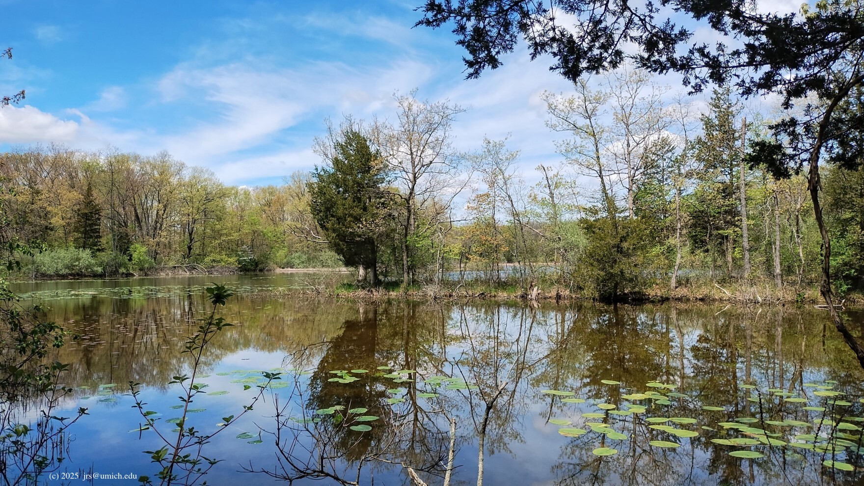
and passes through woods and wetlands. Highlights include good views
of Silver and Pickerel Lakes, especially the view from a bridge
sandwiched between Pickerel Lake and a
large pond .
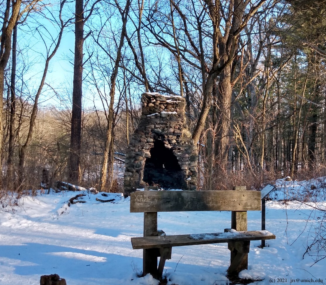
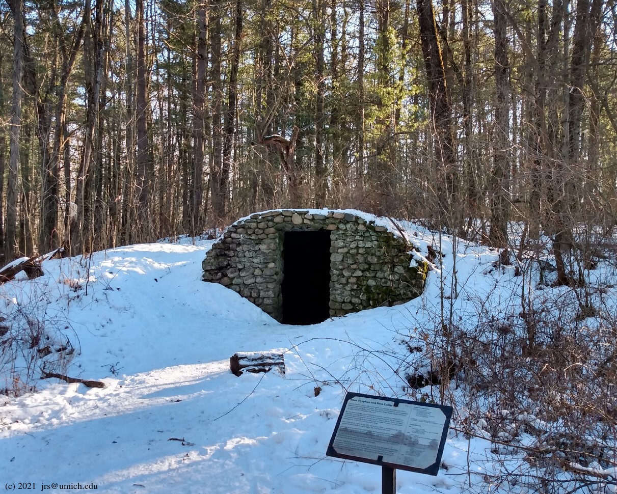
Also look for the
stone fireplace
and
root cellar
roughly halfway between Markers 4 and 5.
I've saved a GPX route map for the Silver Lake Trail
here
[What's this?].
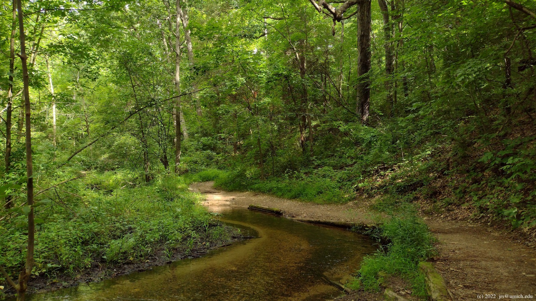
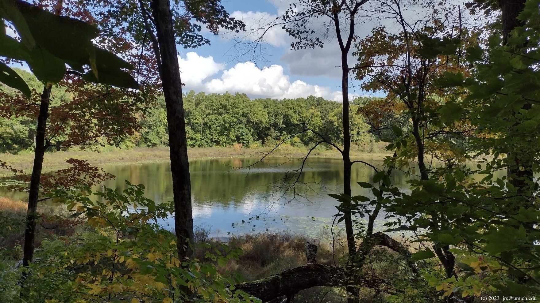
This 4.4 mile route passes through Markers 1, 2, 9, 8, 3, and 2
before finishing back at Marker 1. It includes some steep
hills in the first and last mile and crosses three streams as it winds
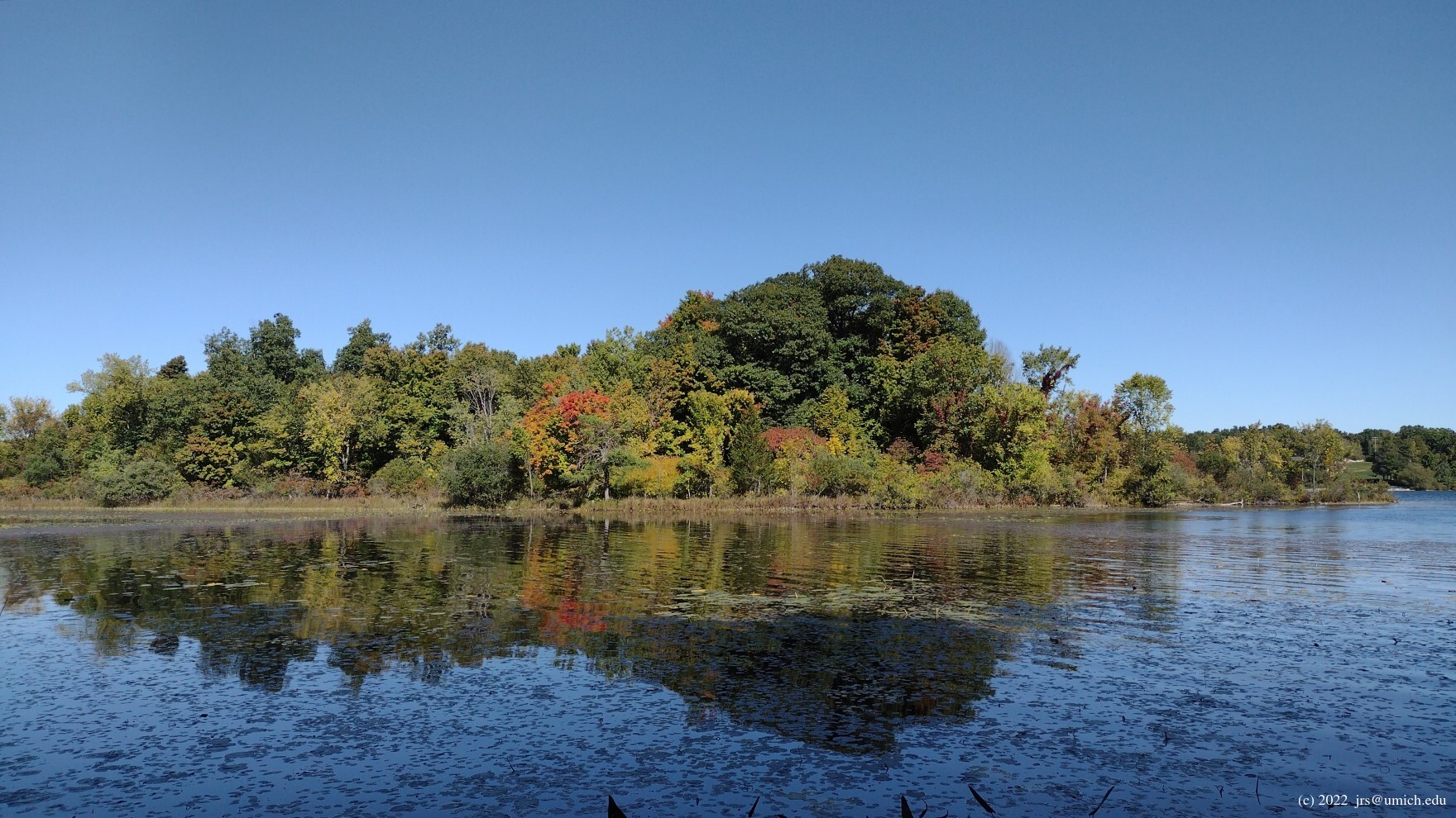
its way around Crooked Lake. Additional highlights include a scenic
trek along the
north side
of Pickerel Lake. The OpenStreetMap reveals that there are numerous
side trips
hanging off of this trail that you might want to explore.
In particular, since there are few good views of Crooked Lake from
the trail, you may want to take a detour down to the fishing pier and
lakeside campground: after crossing Silver Hill Road, look for the next
dirt road crossing -- at about the 1 mile mark -- and take it west (left)
to the lake. Once there, you can either retrace your steps back to
the trail, or continue on the road as it takes you north and then
west along the shoreline ,
ending with an uphill path heading northwest that rejoins
the trail at about the 1.6 mile mark.
New! I've saved a GPX route map [What's this?] that documents the Crooked Lake Trail as it is currently configured, as well as two variations.
The first variation is a 5.2 mile route that includes the detour to Crooked Lake described above. It returns along the second half of the Silver Lake Trail and finishes at Marker 7. In my opinion, this is how the Crooked Lake Trail should have been configured in the first place. By returning along the second half of the Silver Lake Trail, rather than the first half, it keeps counterclockwise hikers on the two trails moving in the same direction, and mountain bikers moving in the opposite direction.
The second variation is a 7.3 mile route that provides a thorough exploration of the trail system in the Silver Lake area. It includes a brief excursion to the north shore of Crooked Lake and finishes by switching over to the Potawatomi Trail at Marker 4 for the last 3.7 miles. You can trim 1.25 miles off of this hike by looking for the shortcut to Marker 6 about 5.2 miles into the route.
Two online route maps for slight variations of the Crooked Lake Trail --
one that includes the Crooked Lake detour and one that returns via
the second half of the Silver Lake Trail -- are available on MapPedometer
here and
here .


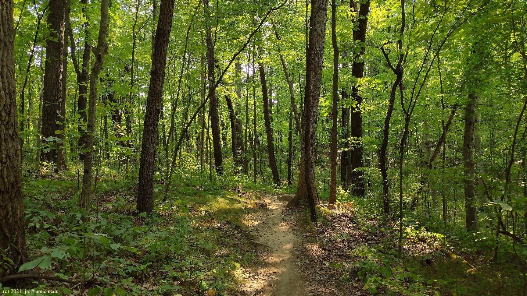
The Potawatomi Trail is a fantastic loop through hilly forested terrain interspersed with numerous lakes, streams, and wetland areas. Hikers traversing it counterclockwise will pass by Trail Markers 1, 2, 9, 10, 11, 12, 4, 6, and 5, ending at Marker 7 near the south parking lot. However, at 18.5 miles long, it is not a day hike unless you are a hard core enthusiast.
For the rest of us, it is possible to use two shortcuts to create a more manageable 11 mile Mini-Potawatomi loop while still getting a full dose of what the trail has to offer.
The first shortcut is a more direct route between Markers 10 and 11
that will shave 4.7 miles off of the hike. And it is important
for map readers to understand that this route was significantly
altered in 2024 -- it is not the 1 mile 10-to-11 shortcut shown on
the 2003 trail map. Markers 10 and 11 are now in entirely
new locations a few hundred feet
east
and
west
of Glenbrook Road, and the shortcut connecting them is
only 0.2 miles long. The OpenStreetMap shows this
new route
and has grayed-out some of the old segments
of the Potawatomi farther west that no longer exist.
[Update: The 2003 trail map has been annotated and now shows
in very rough terms the placement of the new trail segments.]
The second opportunity to significantly shorten the hike occurs when you reach Marker 4. At this point you can trim off another 2.6 miles by following the Silver Lake Trail directly to Marker 5 and rejoining the Potawatomi on its final segment from Marker 5 to Marker 7.
The result of these two shortcuts is an 11.2 mile Mini-Potawatomi. I've saved a GPX route map for it here [What's this?], along with an 11.1 mile alternative route that finishes at Marker 1 instead of Marker 7 while taking advantage of a few options described in more detail below. (Finishing at Marker 7 would trim the alternative route down to 10.9 miles.)
New!
If 11 miles is still too much of a good thing, another option to
consider is the following 9.2 mile "Middle Potawatomi" that cuts
out the busy Silver Lake area. It starts and finishes at the
Pickerel Lake
access site
near Marker 4 and uses a segment of the Crooked Lake Trail to pass from
Markers 4 to 8 to 9. I've saved a GPX route map for it
here
[What's this?],
along with an 8.9 mile alternative that weaves in the same options
that are available for the Mini-Potawatomi.
The 9.2 mile version is also available online at
MapPedometer .
The alternative route maps illustrate the use of these options:
* The shortcut that ran between the old locations of Markers 10 and 11
proceeded westbound along the Hiland Lake access road, across Glenbrook,
and then followed a second access road -- one that leads to a yurt
campsite -- before turning north and then west on the way to (old)
Marker 11. Although the last 0.35 miles of this route no longer exist,
the remaining parts can be combined to create
an alternative shortcut (MapPedometer).
It will trim 0.2 miles off of a Middle or Mini-Potawatomi loop.
* Shortly after crossing Crescent Drive on the way to Marker 12,
the Potawatomi Trail merges onto an access road that leads to a
campground at Blind Lake. While there is easy access to the
lake
and
gorgeous woods
along this route, there is
another path to Marker 12
-- probably part of a very old routing of the Potawatomi -- for those
interested in a
steep climb
up to a ridge that sits high above the lake. The entry point is a narrow
trail heading uphill right at the spot where the Potawatomi merges onto
the campground access road. After the initial climb, the trail follows
the ridge and eventually descends to
Marker 12
where the W-P and Potawatomi Trails diverge. Potawatomi hikers should
continue straight ahead (east). A left turn would follow the biker
direction of the Potawatomi; a right turn leads west along the W-P Trail.
* As you begin the descent towards Dead Lake, you will notice a
fork in the trail. The Potawatomi follows the left branch around the
north side of the lake, while the right branch follows
a hilly route around the south side ,
rejoining the Potawatomi about 1/2 mile later. In addition to the lack of
mountain bike traffic, you might prefer the southern route for its
view of the lake
from a higher elevation with fewer obstructions.

Before the 2024 renovations of the Potawatomi Trail, there was a 1 mile
shortcut and a 5 mile long route connecting Markers 10 and 11, making
it possible to combine the two into a 6 mile Micro-Potawatomi loop.
Post-renovation, Markers
10
and
11
are in new locations, and the two routes on the Potawatomi that connect
them are 0.2 miles and 4.9 miles long. So we now have a 5.1 mile
Micro-Potawatomi loop.
In addition, it is possible to piece together a 1.3 mile route between Markers 10 and 11 that is similar to the old shortcut. Combining it with the 4.9 mile route results in a 6.2 mile loop.
I've saved GPX route maps for both versions of the Micro-Potawatomi
here
[What's this?].
The 6.2 mile version is also available online at
MapPedometer .
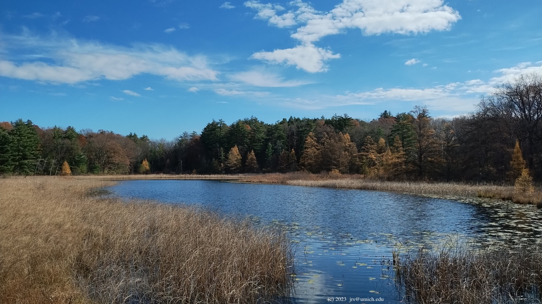
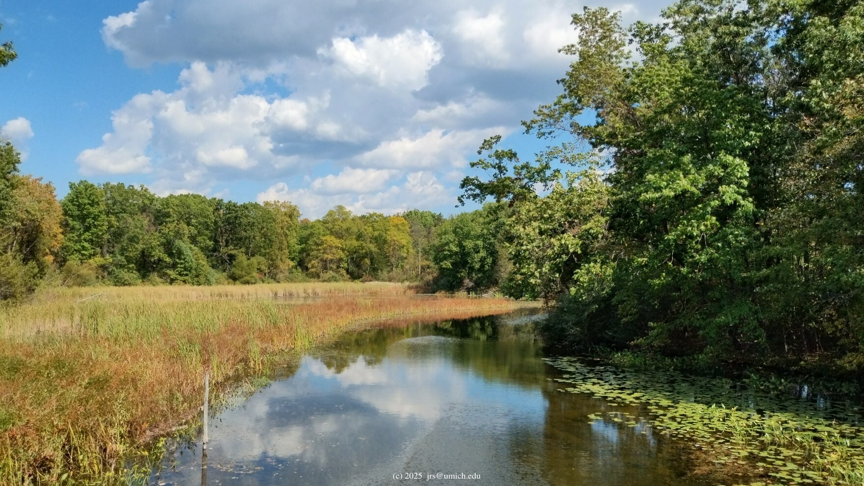
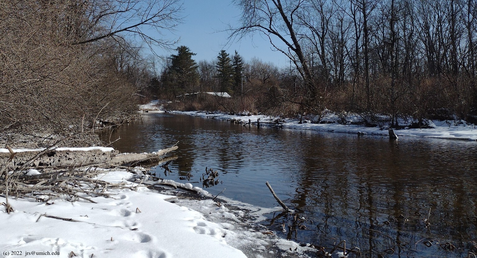
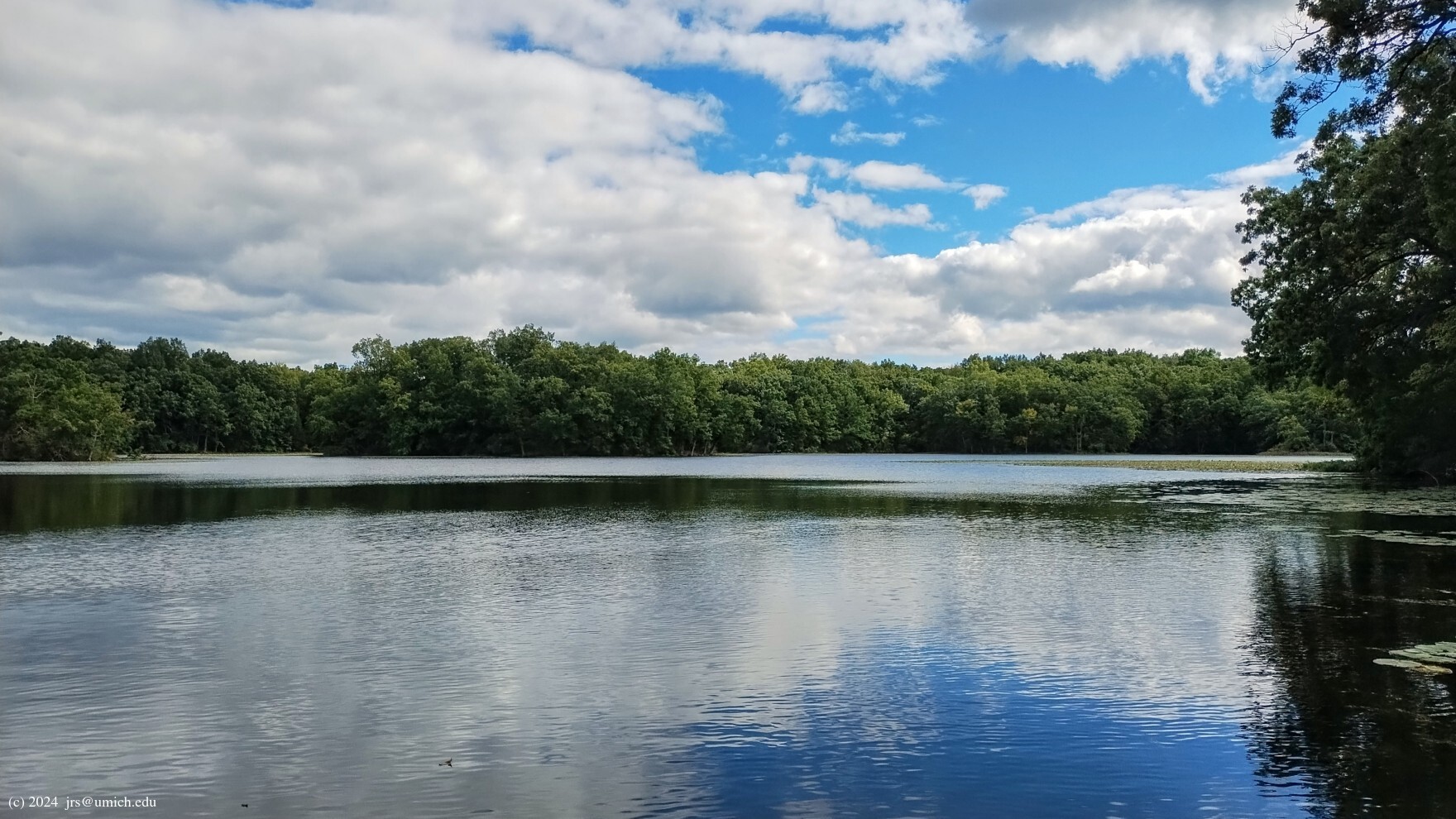
Both routes share highlights that include
dense woods, numerous boardwalks across wetlands, and views of
Gosling Lake .
You will also surely notice that the
northernmost stretch of the trail runs alongside a 12 foot high
fence topped with barbed wire .
No, there isn't a state prison on the other side of that fence;
rather, it is the
Edwin S. George Reserve ,
a University of Michigan property used for biological field research.
A convenient starting point for the Micro-Potawatomi is a small
parking area
on Patterson Lake Road about 200 yards west of the intersection with
Glenbrook. Counterclockwise hikers starting from there should cross the
road and follow the trail southbound. A short distance beyond that,
the trail turns to the southeast along a new route -- part of the 2024
trail renovations -- across an
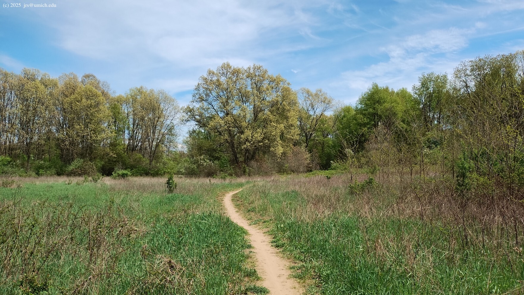
open field
on the way to Marker 11.
Map readers need to be aware that the old route as shown on the 2003
trail map did not have this southeastern turn; it continued in a
southwesterly direction. The OpenStreetMap now shows the
new route
and has the old route grayed out. You may notice that the trail renovators
have been very deliberate about tearing up the old route and burying it
underneath tree and shrub debris.
At Marker 11, the 5.1 mile version of the Micro-Potawatomi follows the
0.2 mile shortcut to Marker 10 while the 6.2 mile version continues
southwest on the Potawatomi before
departing southbound
toward a yurt campsite, then east across Glenbrook Road to the
Hiland Lake access road ,
finally rejoining the Potawatomi northbound on the way to Marker 10.
One advantage of this route is that it opens up a few more parking options
for staging your hike -- look for two small parking areas (such as
this one )
along the first 0.2 miles of the access road.
A second advantage of this route is that it invites you to take a side
trip to the boat launch area at the end of the access road for a
good view of
Hiland Lake .
This excursion will add 0.5 miles to your hike.
Once there, you may find it difficult to resist
the urge to extend your excursion by following a short trail leading
southwest from the adjacent parking area. Portions of this trail are
shown on the
OpenStreetMap .
Not shown on the map are two branches leading to
small fingers of land
that jut out into the lake, offering additional
great views .
If you took the 0.2 mile shortcut from Marker 11 to Marker 10, you still have the option to include a Hiland Lake excursion. It is a 0.4 mile hike south on the Potawatomi (the biker direction) from Marker 10 to the access road and another 0.25 miles to the boat launch area.


If the other trails are overrun with mountain bikers,
a worthwhile hiker-only option in the Silver Lake area is the 3.3 mile
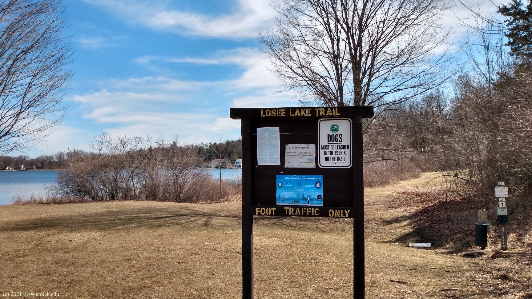
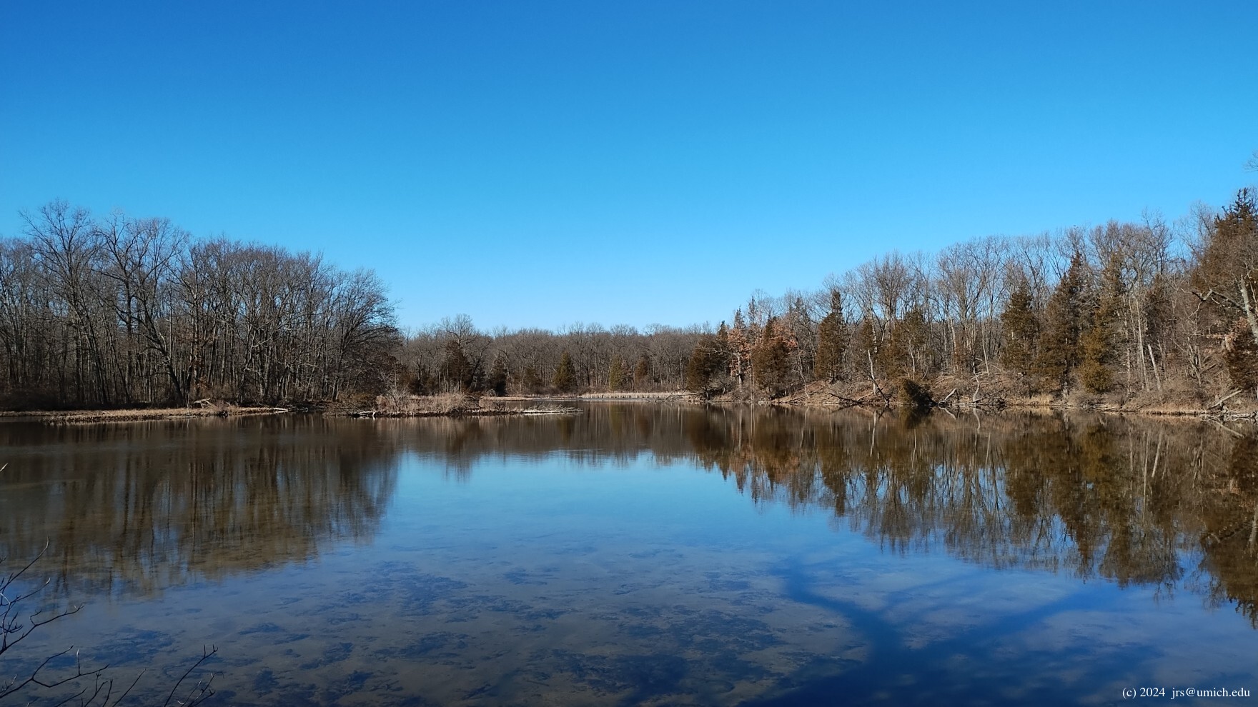
Losee Lake Trail.
It has its own set of trail markers (L1 through L6) and a
separate trailhead
at the eastern edge of the south parking lot. The trail winds through
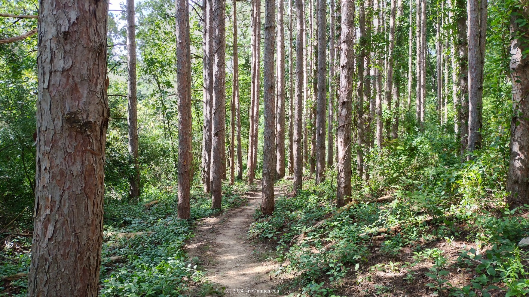
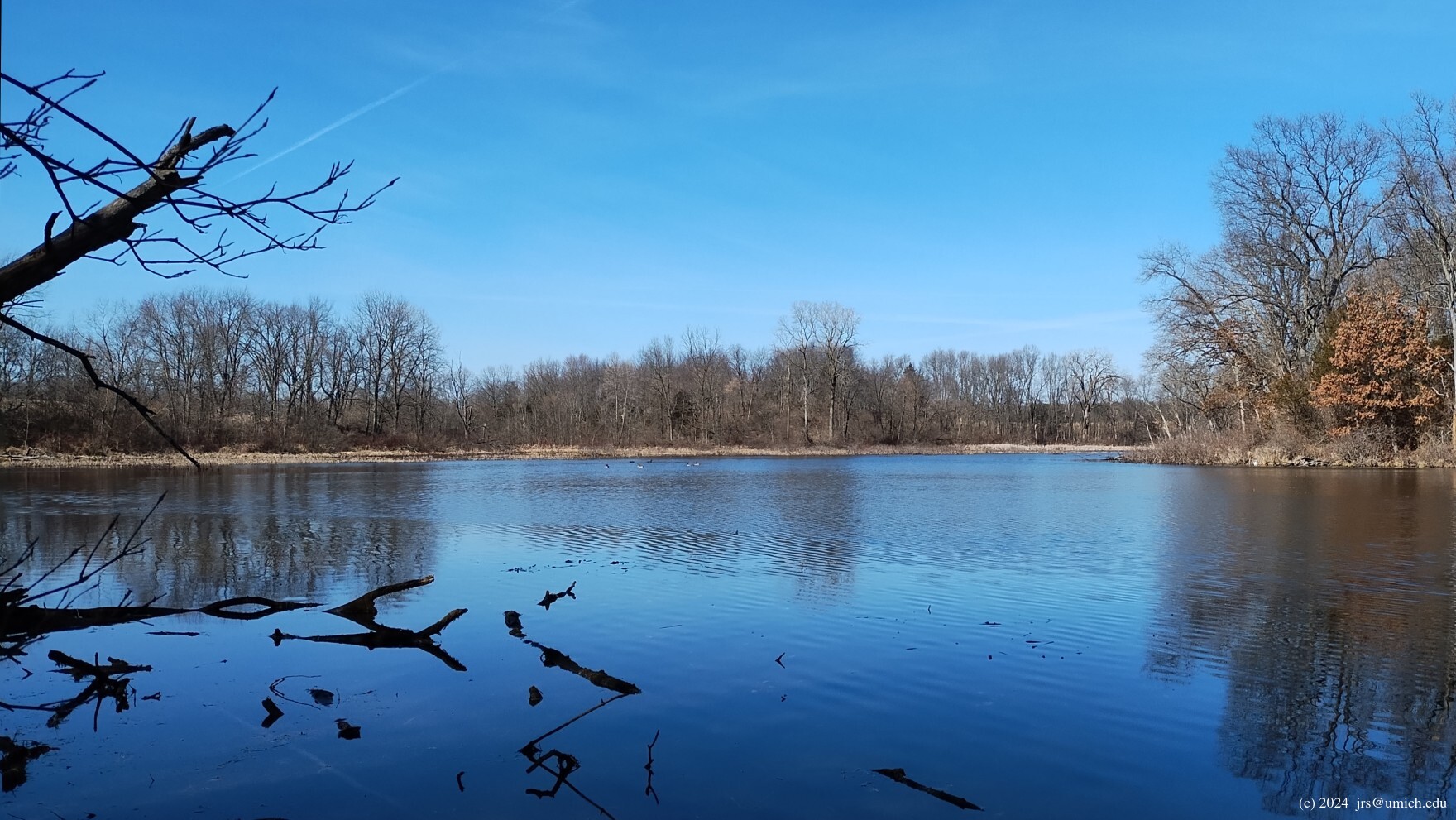
hilly hardwood and pine forests, interspersed with grasslands,
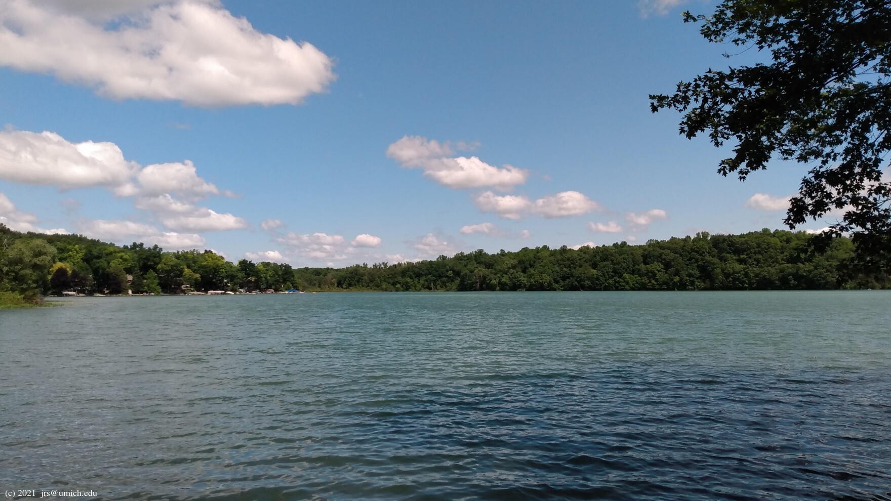
wetlands, and views of
Losee Lake .
For the best view of the lake, venture about 100 yards northwest
along the shoulder of Dexter Townhall
Road when you cross it on the way from Marker L5 to L6.
A nice alternative finale for the Losee Lake hike presents itself
at the point you return to Marker L2. As you head uphill there is a
short branch on your left that takes you to Silver Hill Road. Across
the road and a few yards south is a trail that heads southwest
and joins the last mile of the Potawatomi Trail
through Markers 6, 5, and 7. I've saved a 4.1 mile GPX route map
for this Losee Lake variation
here
[What's this?].
An online version is also available at
MapPedometer .
Trail Marker 7
is where the 35-mile Waterloo-Pinckney Trail comes to an end.
The last 6.6 miles, running eastbound through Trail Markers 12, 4, 6, 5,
and 7, is shared with the Potawatomi Trail. For a westbound hike
starting at Marker 7, you may prefer the shorter 4 mile route to
Marker 12
that goes directly from Marker 5 to 4, bypassing Marker 6.
Whether you take the long or the short route, you will be traveling in
the same direction as the bikers. Once you venture beyond Marker 12,
you will be in a zone with two-way bike traffic.
Proceeding west from Marker 12, you will reach Goodband Road after 0.7 miles, Hadley Road after 1.6 miles, Joslin Lake Road after 2.7 miles, Embury Road and a no-bike zone after 3.25 miles, and Park Lyndon North [see Hike C2] after 4.4 miles. Thus you can set up an 8.2 mile or (without the shortcut) 11.0 mile point-to-point hike between Park Lyndon and the W-P trailhead at Silver Lake.
Near the spot where the W-P Trail crosses Goodband Road is a
small parking area
that can serve as a launching point for hikes deep in
the interior of the Pinckney Recreation Area.
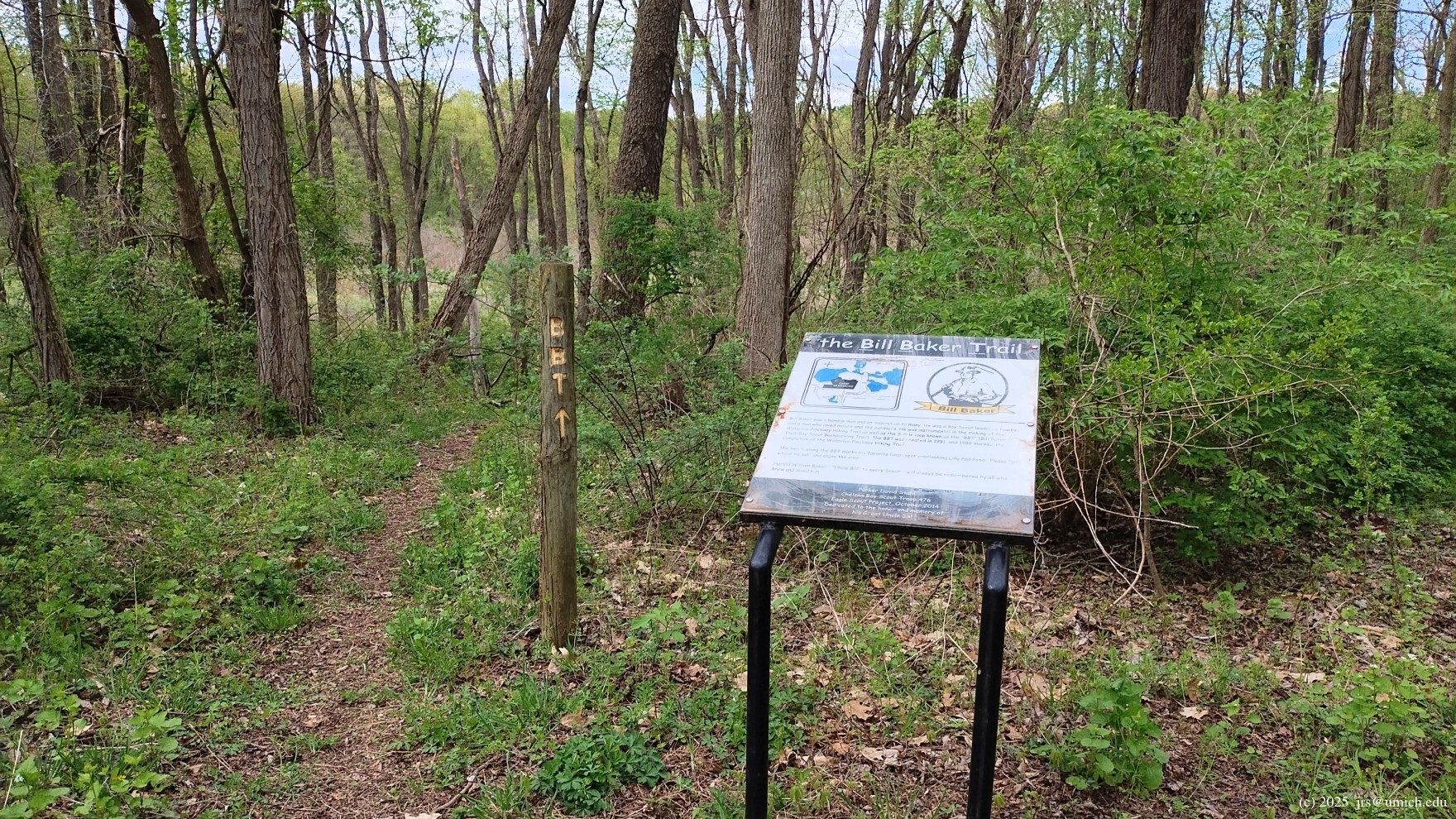
.
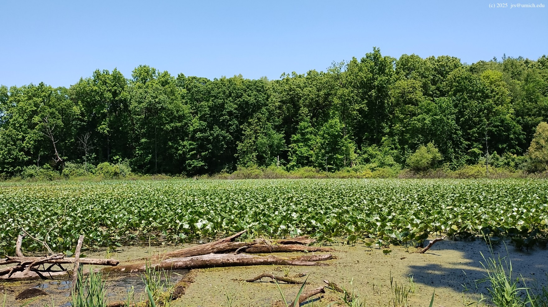
The trail was constructed in 1991 as a 5 mile loop, and based on the
map
posted there, it appears that it originally
curled south around a
large pond
(often carpeted with
lily pads ),
then passed
,
, and
.
In any case, it is private property and hiking through it may be
considered trespassing.
Despite this obstacle, it is possible to construct a 4.1 mile route that resembles the original loop but avoids any potential trespassing. The main alteration involves turning east at Bartell Road, along the southern border of the camp, and then taking advantage of an orphaned trail segment west of Blind Lake that was part of the Potawatomi prior to the recent trail renovations.
Regarding the latter, one should continue due east along a trail at
the end of Bartell Road. After 0.3 miles, the trail bends to the
north for another 0.3 miles before joining the Potawatomi.
At this junction, turn right and follow the Potawatomi south
to Marker 12 and the W-P Trail. A highlight of this renovated
section of the Potawatomi is a
scenic route
along the edge of a steep hillside above Halfmoon
and Blind Lakes.
I've saved a GPX route map for this modified Bill Baker Trail
here
[What's this?].
A web version is also available on
MapPedometer .
Note that the route is oriented clockwise so that it moves against
the flow of mountain bike traffic on the Potawatomi segment.
The GPX file also includes a 6.2 mile route with these extras:
* A 1.2 mile out-and-back segment west to Hadley
Road on the W-P Trail. A highlight of this side trip is a
hilltop view
of the woods on the other side of Hadley. You may find it
difficult to resist the urge to continue hiking another 2.8 miles
all the way to Park Lyndon North.
* A 0.9 mile round trip on the Potawatomi that descends steeply down
to the lakes to obtain good views of the water routes that connect
Watson and Halfmoon Lakes ,
and
Halfmoon and Blind Lakes .
Note that the northbound portion of this side trip runs in the
same direction as the mountain bike traffic.
* Rather than following the Potawatomi into the campground at Blind Lake, this route follows the alternate, bike-free path to Marker 12 described earlier in the list of Potawatomi options. This segment may have been part of the Potawatomi at the time that the Bill Baker Trail was created.
Take I-94 west to Baker Road (Exit 167). Head north on Baker to downtown Dexter, turning left onto Main Street. After passing through downtown Dexter, continue straight through the one-lane underpass below the railroad. You are now on Island Lake Road. Follow it another 3 miles as it heads west-northwest, then turn right (north) onto Dexter Townhall Road. After 3 miles you will cross North Territorial Road. One mile beyond that intersection, turn left onto Silver Hill Road and you will enter the Pinckney Recreation Area.
A Michigan
recreation passport
is required for vehicle entry.
After passing through the entry gate you will see the park headquarters on your left. Head for either of the two large adjacent parking lots at Silver Lake. The near one is more convenient for the Waterloo-Pinckney and Losee Lake trailheads, while the far one is closer to the Silver Lake, Crooked Lake, and Potawatomi trailheads.
If you are headed for the Bill Baker Trail, follow the above directions
to the intersection of North Territorial and Dexter Townhall Roads.
Once there, proceed west on North Territorial for 2.9 miles to Hadley
Road. Turn right (north) onto Hadley. After 0.7 miles turn right again
onto (unpaved) Goodband Road. Continue north on Goodband and look for
the small
parking area
on your left after 1.2 miles.
For hiking the Middle or Micro-Potawatomi loop, head
west on North Territorial Road from Dexter Townhall Road as above.
After 1.5 miles, turn right (north) onto Hankerd Road.
The access road for Pickerel Lake and the Middle Potawatomi will
be on your right after 1.2 miles. For the Micro-Potawatomi,
continue on Hankerd as it twists and turns and eventually becomes
Glenbrook Road. After 3.5 miles, Glenbrook ends at a T-intersection
with Patterson Lake Road. Turn left (west) on Patterson and look for
the small
parking area
on your right (north) after 200 yards.
(A right turn on Patterson leads straight to
Hell .)
If the parking area is full, another option is to return to Glenbrook
Road -- 1/2 mile south of Patterson Lake Road on your left (the east side)
is the
access road
for Hiland Lake. Look for two small parking areas a short distance down
this road, and initiate your hike by heading north from the second one.
If those spots are taken, there are several more parking spots near the
end of the road next to the boat launch.
[The] Pinckney Recreation Area is a paradise for backpackers, mountain bikers, anglers and other recreation enthusiasts. Pinckney is known for its extensive trail system and chain of excellent fishing lakes. Over forty miles of multi-use trail with remote campsites afford a backcountry experience.