 ,
OpenStreetMap
,
OpenStreetMap
 (2025 JPG)
,
OpenStreetMap
(2025 JPG)
(2025 JPG)
,
OpenStreetMap
(2025 JPG)


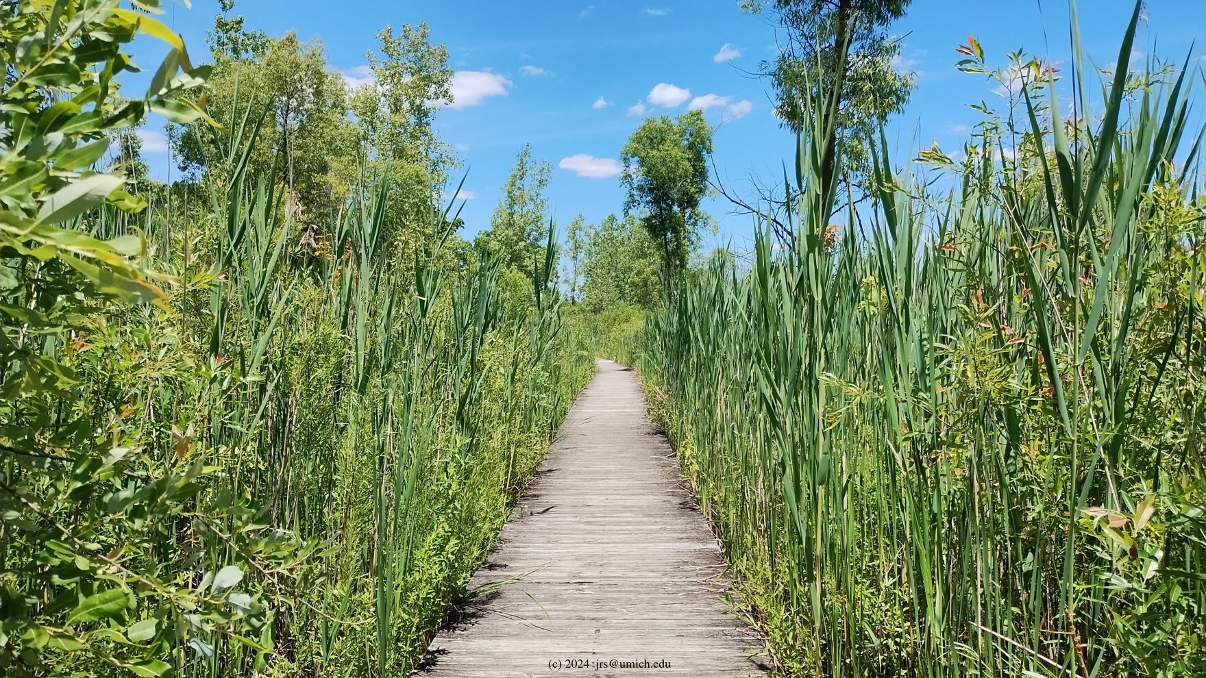
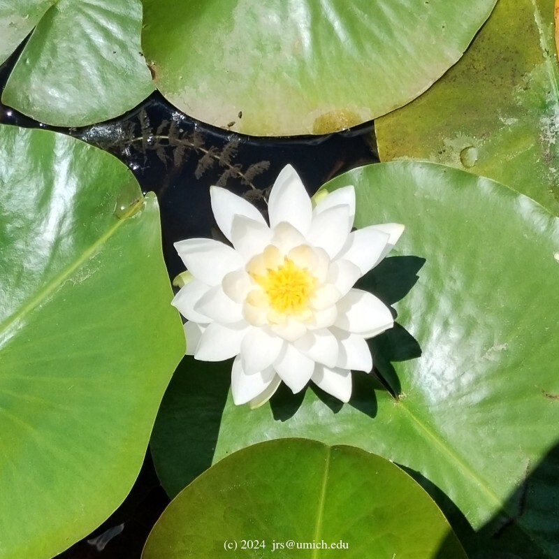
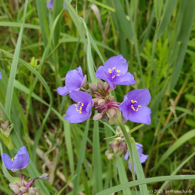
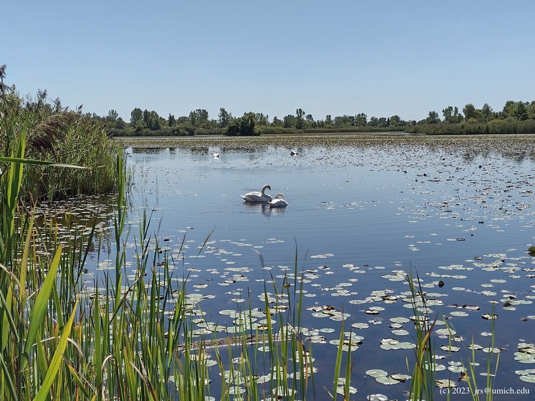
This is a large nature preserve with a wide variety of habitats. It is situated in the southwest corner of Wayne County on a roughly rectangular parcel of about 700 acres -- 0.75 miles east to west and 1.5 miles north to south. The centerpiece of the preserve, occupying about 1/4 of the acreage, is a large marsh criss-crossed with boardwalks. Although it is only two miles from I-275, it is amazingly uncrowded and quiet.
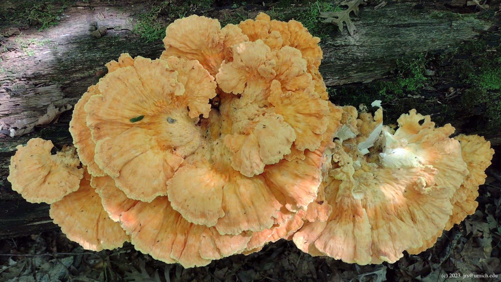
Wildlife I have encountered here include herons in the marsh
as well as the stream that runs along the west side of the preserve,
a mink (or weasel?) in the swampy area along the northern rim of the
Bald Eagle Trail, and sandhill cranes in multiple locations.
In the marsh area,
swans
and geese are abundant.
Horses, fishing and leashed dogs are allowed. No bikes.
Update: A new map of the trail system has been posted online and at several trail crossings. Although the layout of the trails is largely unchanged, some trail segments have been renamed. For example, the Blue Heron Trail is now part of the Bald Eagle Trail, and the Mallard Trail is now part of the Bluegill Trail. Be aware that the OpenStreetMap has not yet been updated to reflect the new naming conventions, and there are a few decades-old wooden trail markers still in place that bear the old names.
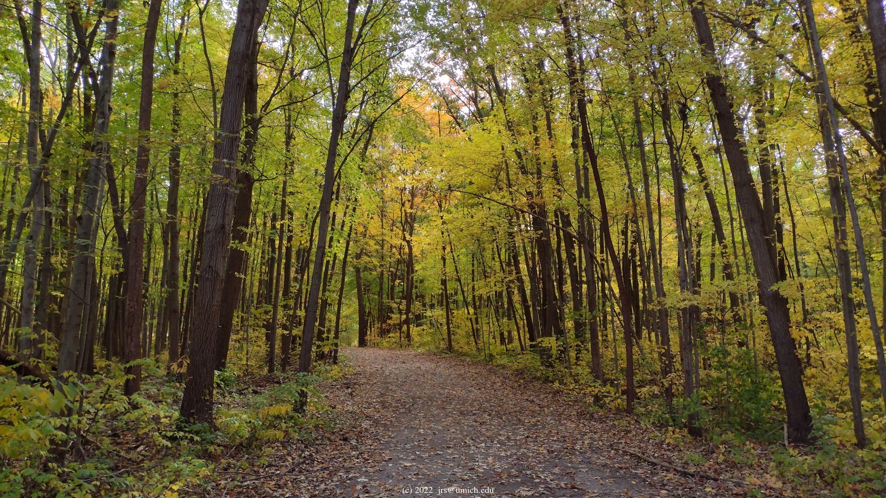
There are over 10 miles of trails. The outer loop is an equestrian trail of 4.5 miles, although on your first visit you probably should spend most of your time on the trails in the interior to see more of what the preserve has to offer. If you proceed west from the parking lot onto the boardwalks of the Wetland Garden Trail you will immediately get a sense of the enormity of the marsh. From there, a typical route I follow would turn right onto the Bluegill Trail (labeled Mallard on the OpenStreetMap), left onto the Muskrat Trail, then left again on the Bald Eagle Trail (Blue Heron on the OpenStreetMap). The latter takes you on a semicircular path around the northern half of the preserve, passing through wetlands and woods along the way.
Eventually you will reach an intersection where the Woodpecker Trail crosses the Bald Eagle Trail. (If you are relying on the outdated labels shown on the OpenStreetMap, this is where the Blue Heron Trail meets the Woodpecker and Bald Eagle Trails.)
Note that there are some paths (in addition to service roads) that are shown on the OpenStreetMap but not on the trail map. If you are navigating the trail without the aid of a map or app, failing to account for these during your hike is a potential source of confusion.
New! I've saved a GPX route map [What's this?] for a 4.1 mile version of the above route.
Do consider that the equestrian loop passes through some
attractive woods
in the northern and western parts of the preserve, and there are several
connecting paths available for weaving a segment or two from this
part of the loop into your hike. On the above route map, I have included
markers labeled X1 - X6 that identify the locations of 6 such paths.
Also shown on the above map is a 5.3 mile route that follows a
different path through the marsh area, enters the equestrian loop at X1,
and exits 2.3 miles later at X6.
Beware that the use of the connecting path at X1 requires a certain willingness to delay gratification. The path is a 0.2 mile walk along a utility right-of-way, followed by a 0.3 mile trail segment that is little more than a dirt road. The reward for this is in the next half mile -- a quiet walk enveloped by woods.
A 4.8 mile route that enters the equestrian loop later at X2 and exits
at X4 is also available online at
MapPedometer .
Take US-23 South to Exit 25 (Milan). Turn left onto E. Main, right onto Dexter, and right again on County Street. You are now eastbound. Stay on this road for the next 12-ish miles. Note that it changes its name twice, first to Milan-Oakville Road, and then Oakville-Waltz Road. About halfway through, you'll reach a stop sign at a fork in the road. You want to stay on Oakville-Waltz, which means taking the left branch. Eventually you will turn left (north) onto Haggerty Road. The parking lot is about a half mile down this dirt road, on the left.
Driving time from the I-94/US-23 interchange to the parking lot is roughly 30 minutes.
For nature enthusiasts with an interest in wetlands and wildlife, Crosswinds Marsh is a must-see. You can explore diverse wetland habitats where more than 240 species of birds and 40 species of mammals have been identified. Crosswinds is home to a nesting pair of bald eagles, beaver and other exciting native wildlife.