 ,
Yellow/Blue Trail Parking
Yellow/Blue Trails
,
Yellow/Blue Trail Parking
Yellow/Blue Trails
 ,
Yellow/Blue Trail Parking
Yellow/Blue Trails
,
Yellow/Blue Trail Parking
Yellow/Blue Trails
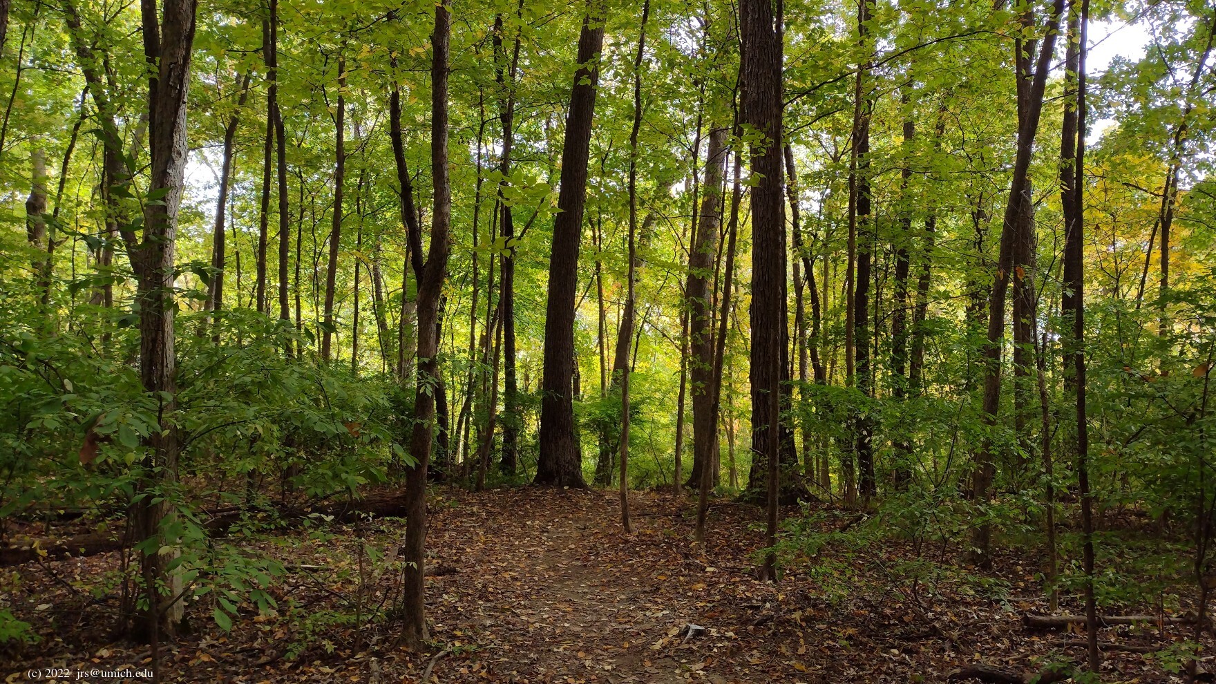
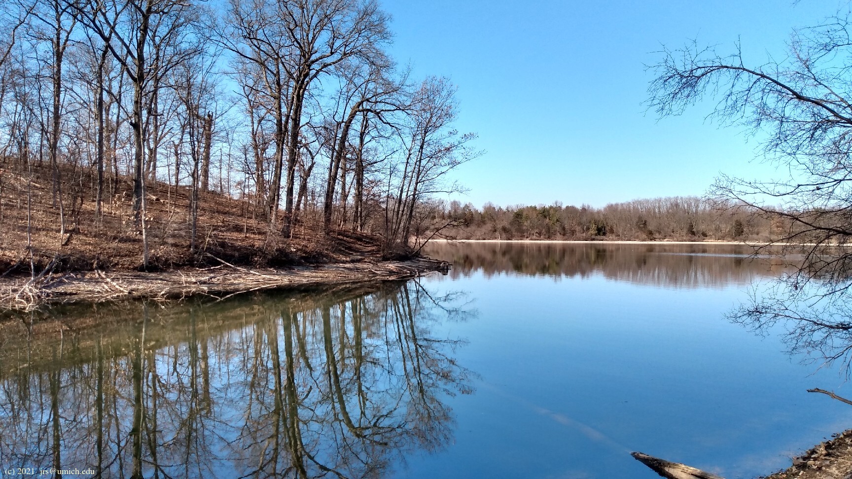
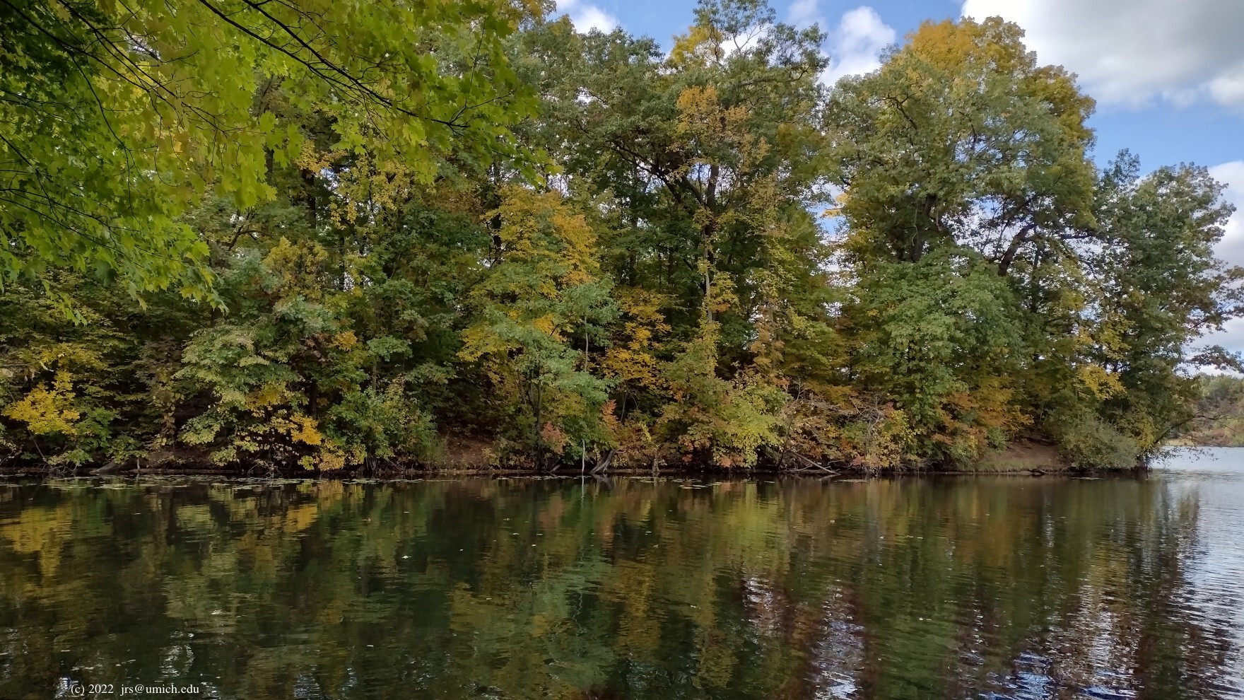
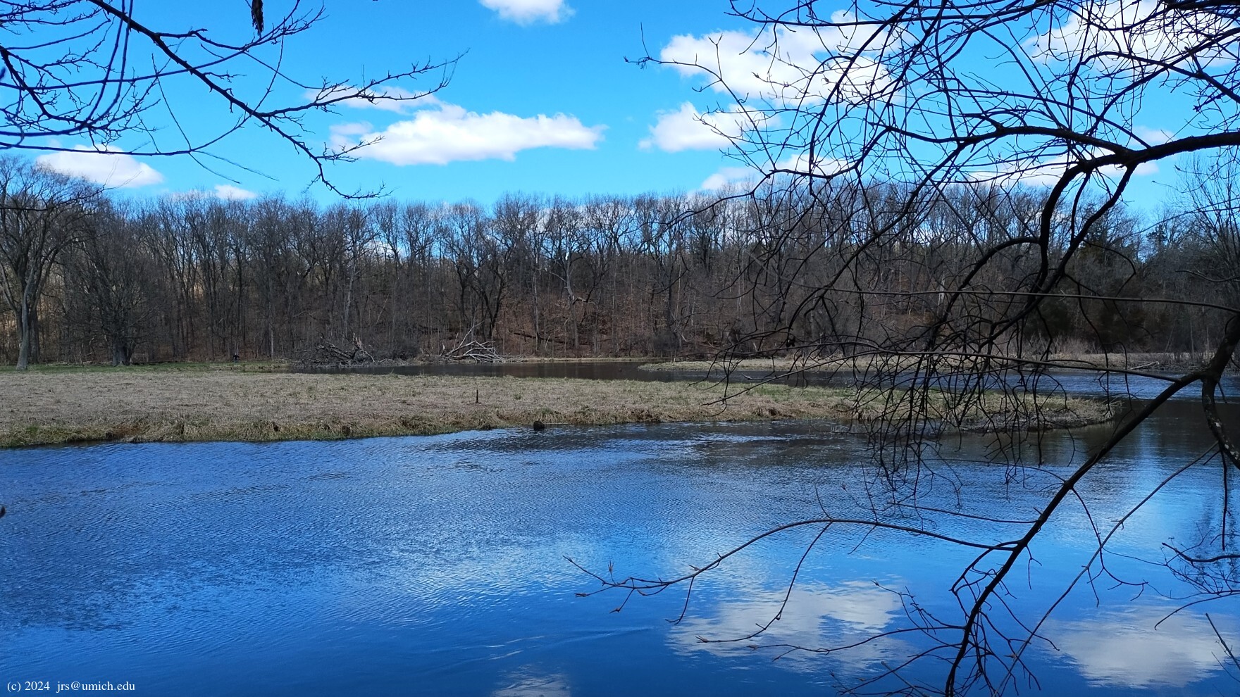
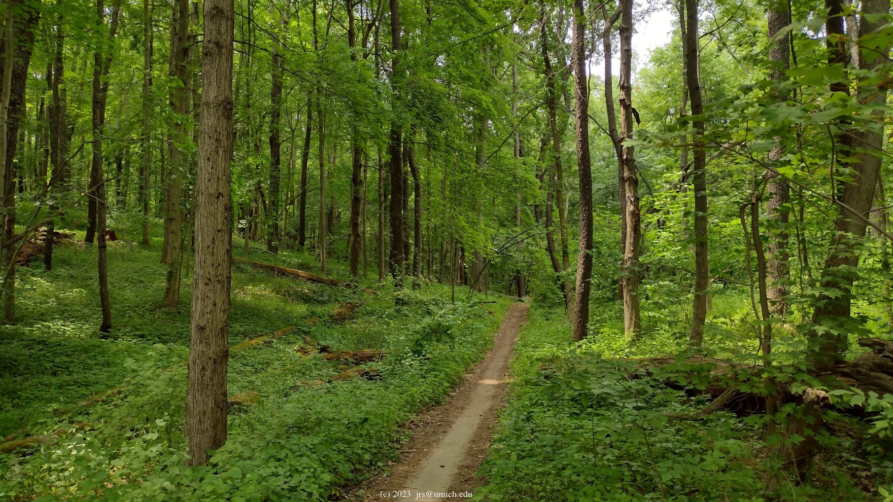
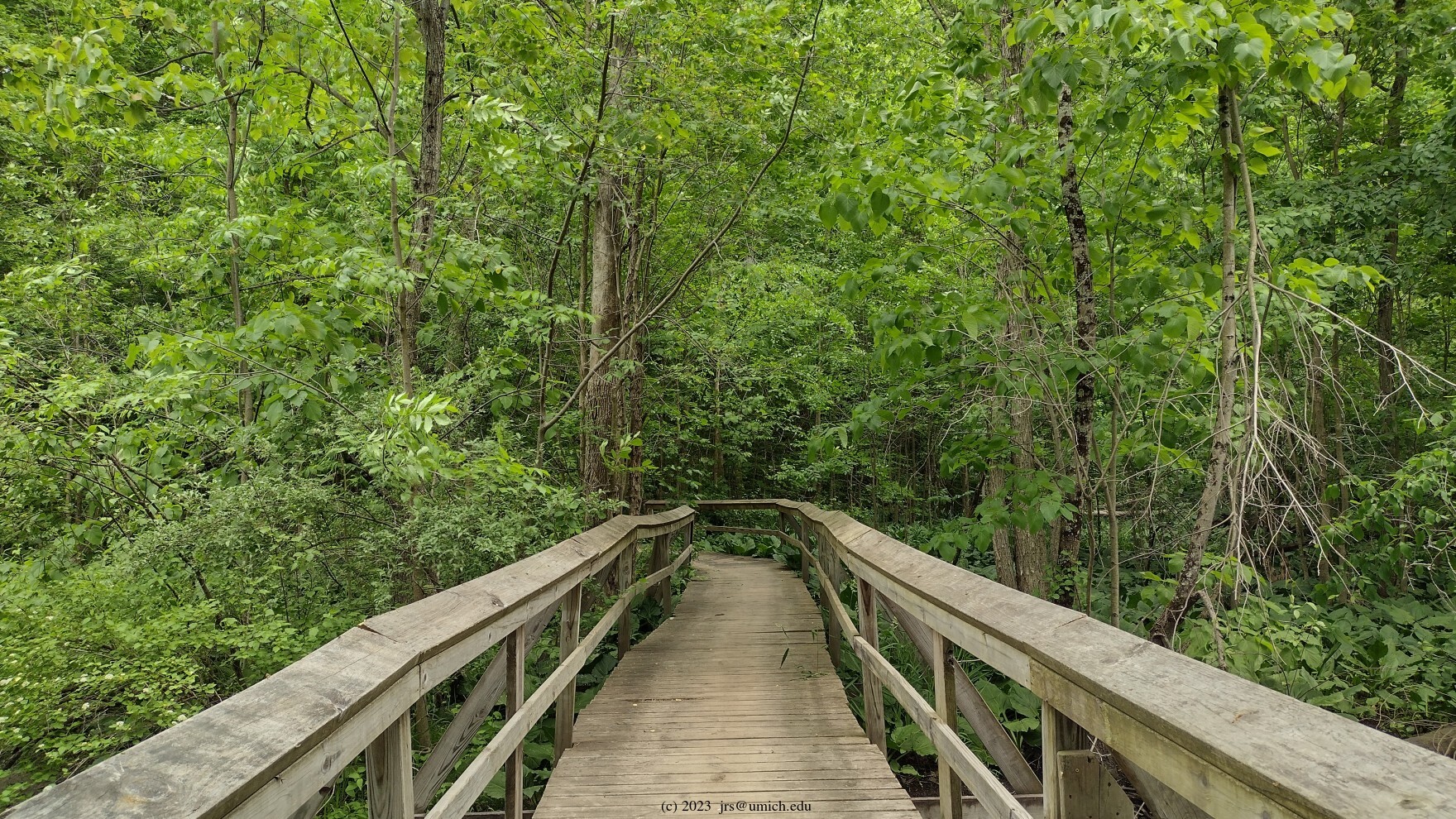
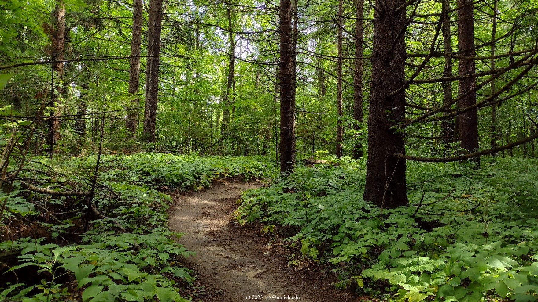
Photos from the Hickory Ridge Trail:
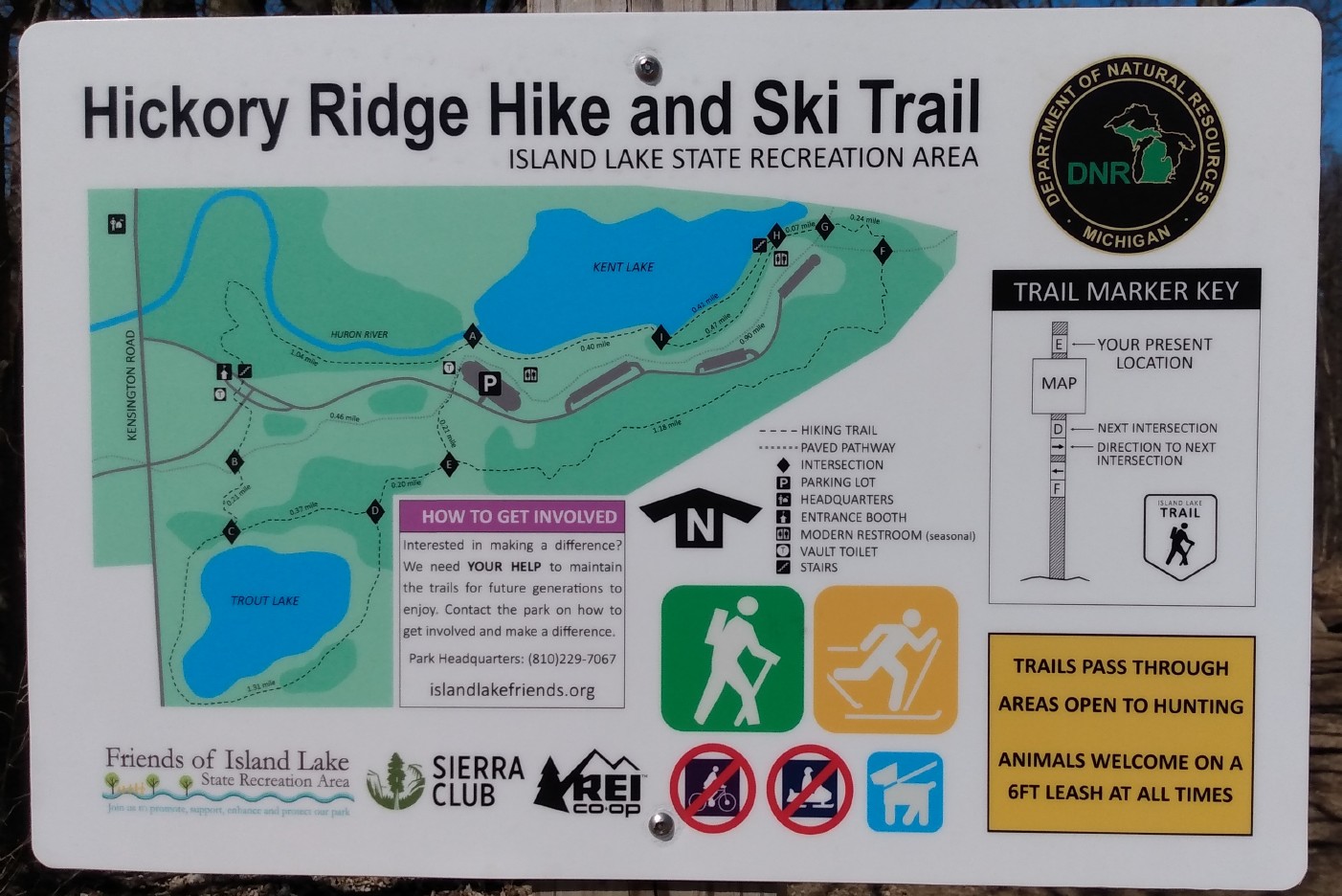
The Island Lake Recreation Area is located in the northeast corner of Green Oak Township in Livingston County (aside from a small piece on the east side of the park that extends into Oakland County). With four lakes, a shooting range, a hot air balloon port, and a long stretch of the Huron River, it supports a wide range of recreational activities. [Update: It seems that the balloon port has been shut down.]
A highlight for hikers is the Hickory Ridge Trail, a 5 mile loop on the east side of the park that is designated for use by hikers and skiers only. (Leashed dogs are also allowed on the trail.)
In the center of the park, there are two more trail loops that are popular with the mountain biking crowd, but also open for hiking: the 5.8 mile Yellow Trail and the 9.1 mile Blue Trail. Mountain bikers are obliged to traverse these trails clockwise.
There is also a 4.5 mile long (non-motorized) paved pathway running roughly east-west between the Riverbend and Hickory picnic shelters. The Hickory Ridge, Yellow, and Blue trails all have points of contact with this pathway.
Keep in mind that the trails pass through areas of the park where hunting (in season) is allowed. In addition, the shooting range, while posing no danger to others, does add a bit of noise pollution to the park.
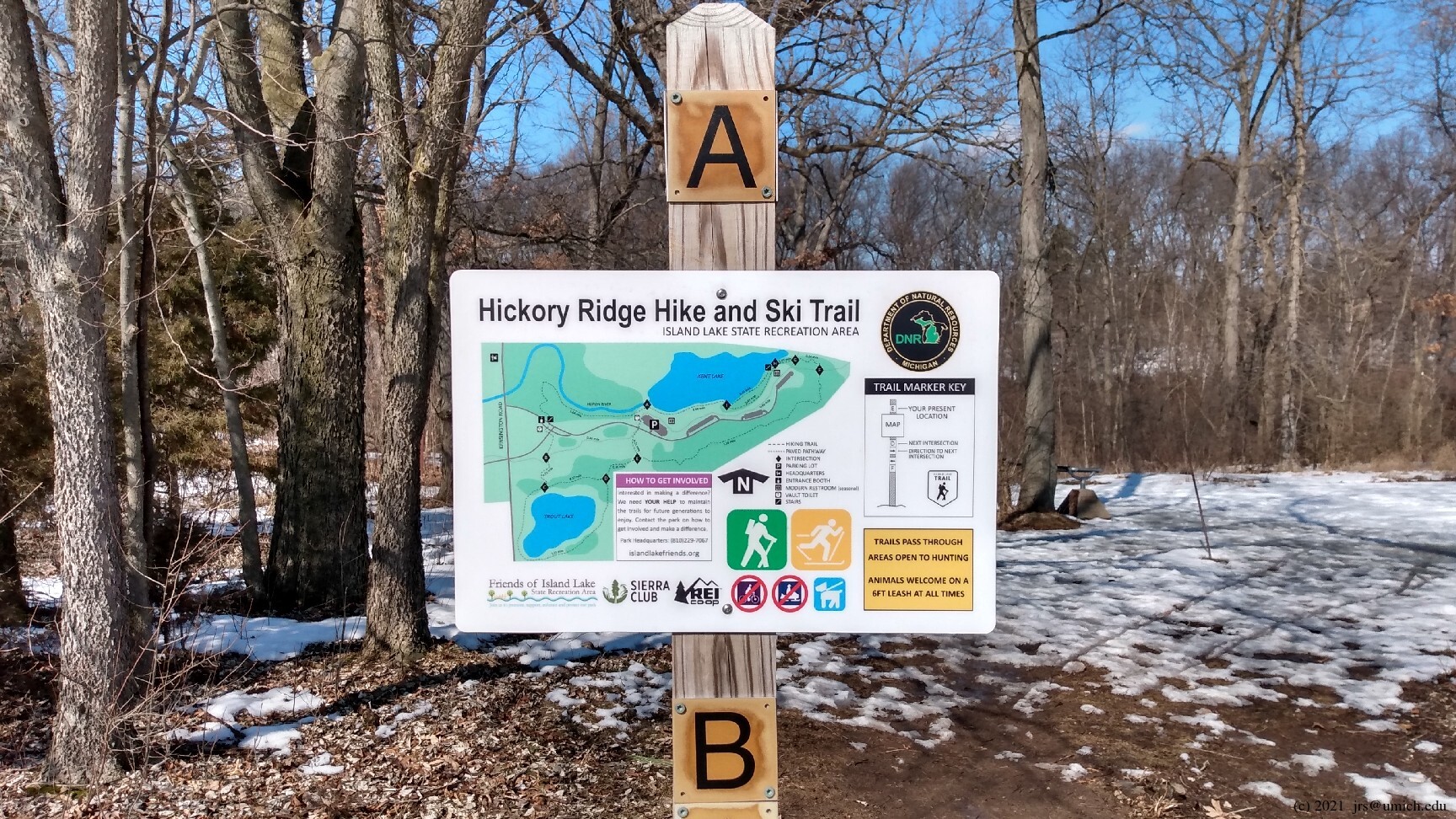
The trailhead is located at the northwest end of the parking lot
for Kent Lake Beach -- look for
Trail Marker A  .
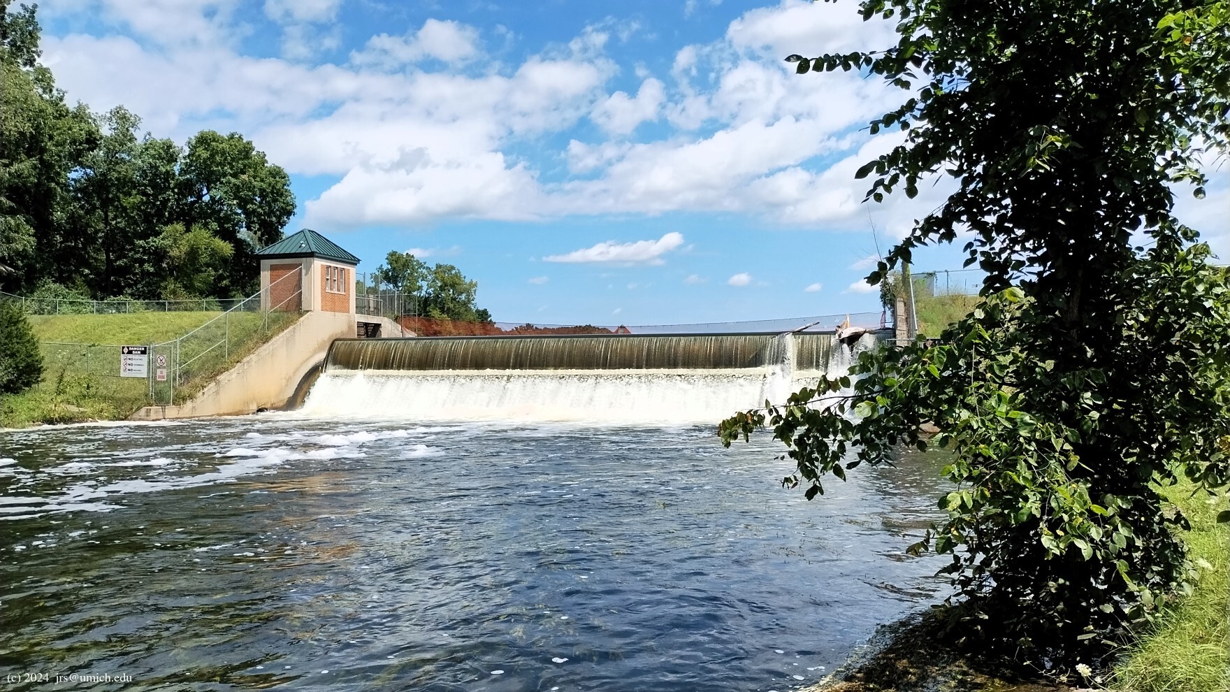
Near the trailhead there is a short path leading down to a canoe
launch area on the Huron River. If you venture down this path,
you'll get a good view of the
Kent Lake Dam
immediately upstream.
.
Near the trailhead there is a short path leading down to a canoe
launch area on the Huron River. If you venture down this path,
you'll get a good view of the
Kent Lake Dam
immediately upstream.
You may find it easier to hike the trail counterclockwise, which means initially heading west along the Huron from Marker A, downstream from the dam. For a clockwise hike, the trail heading east to Marker I is not especially easy to find. One way or another you must make your way around the beach and picnic area until you pick up signs of a trail after 1/4 mile or so.
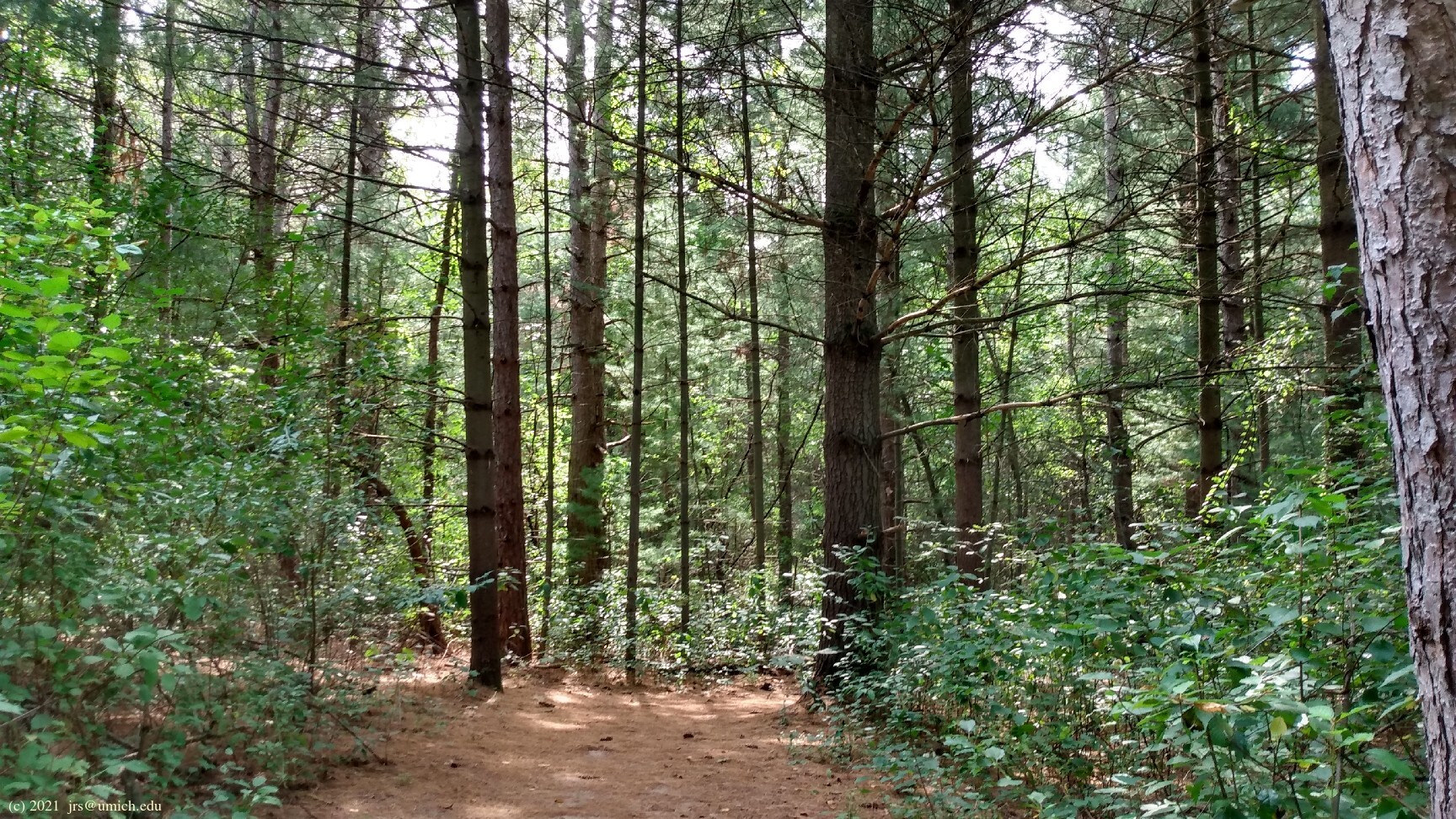
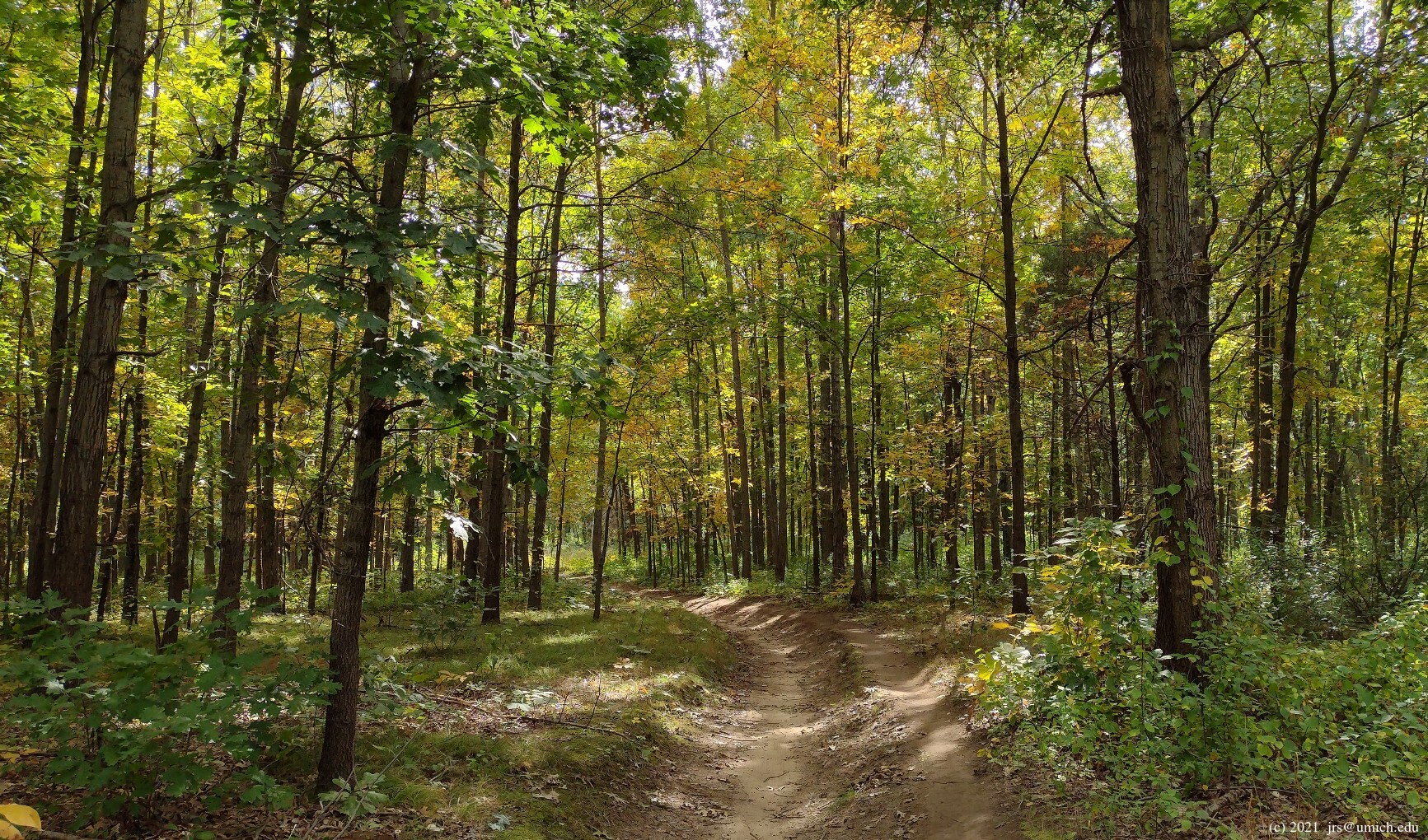
For the counterclockwisers, once the trail turns south away from the
river, you are treated to a winding path through a
pine forest ,
then across the park access road and the paved pathway
to Marker B and a stretch of open meadow. At Marker C, the trail
takes you around the perimeter of
Trout Lake
to Marker D, although it is also possible to take a shortcut directly
east from C to D along the north shore of the lake. This shortcut will
shave about 1 mile off of your hike.
In the vicinity of Trout Lake, especially on the east side, you will
notice many paths and unpaved roads that branch off of or cross the trail,
and it is easy to unintentionally stray. Zoom in on the
OpenStreetMap
to get a sense of the maze-like extent of these paths. For example,
there is an unpaved road that encircles the lake close to the
shoreline--it seems to exist primarily to provide access to the lake
for boaters and anglers.
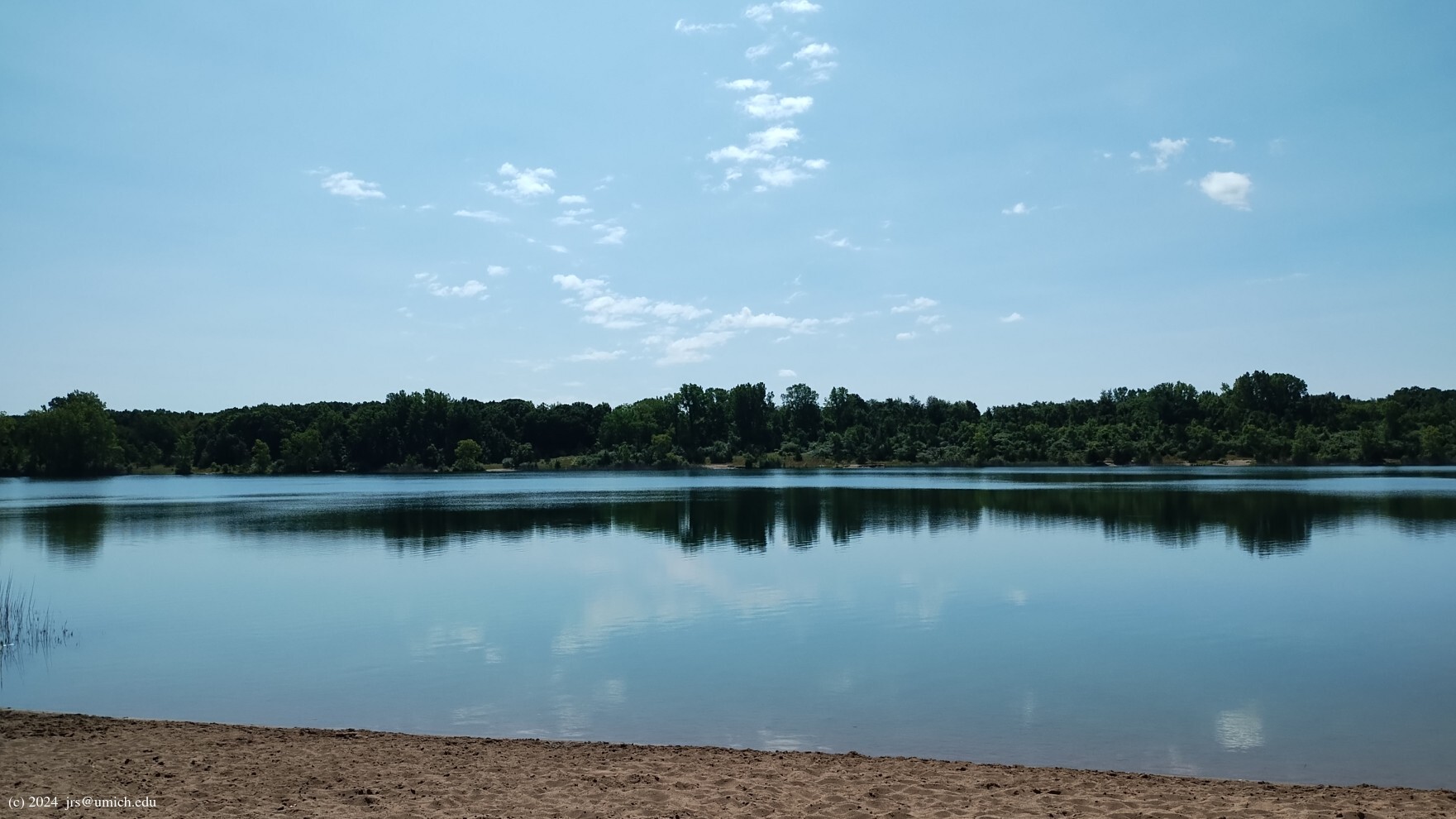
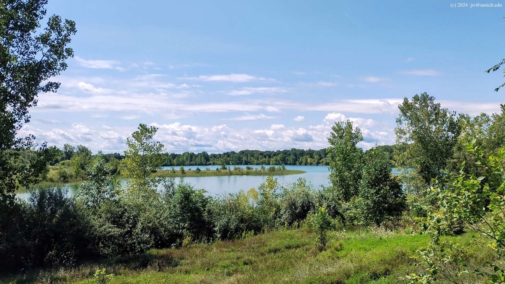
As you approach Marker E, the trail turns to the east and runs
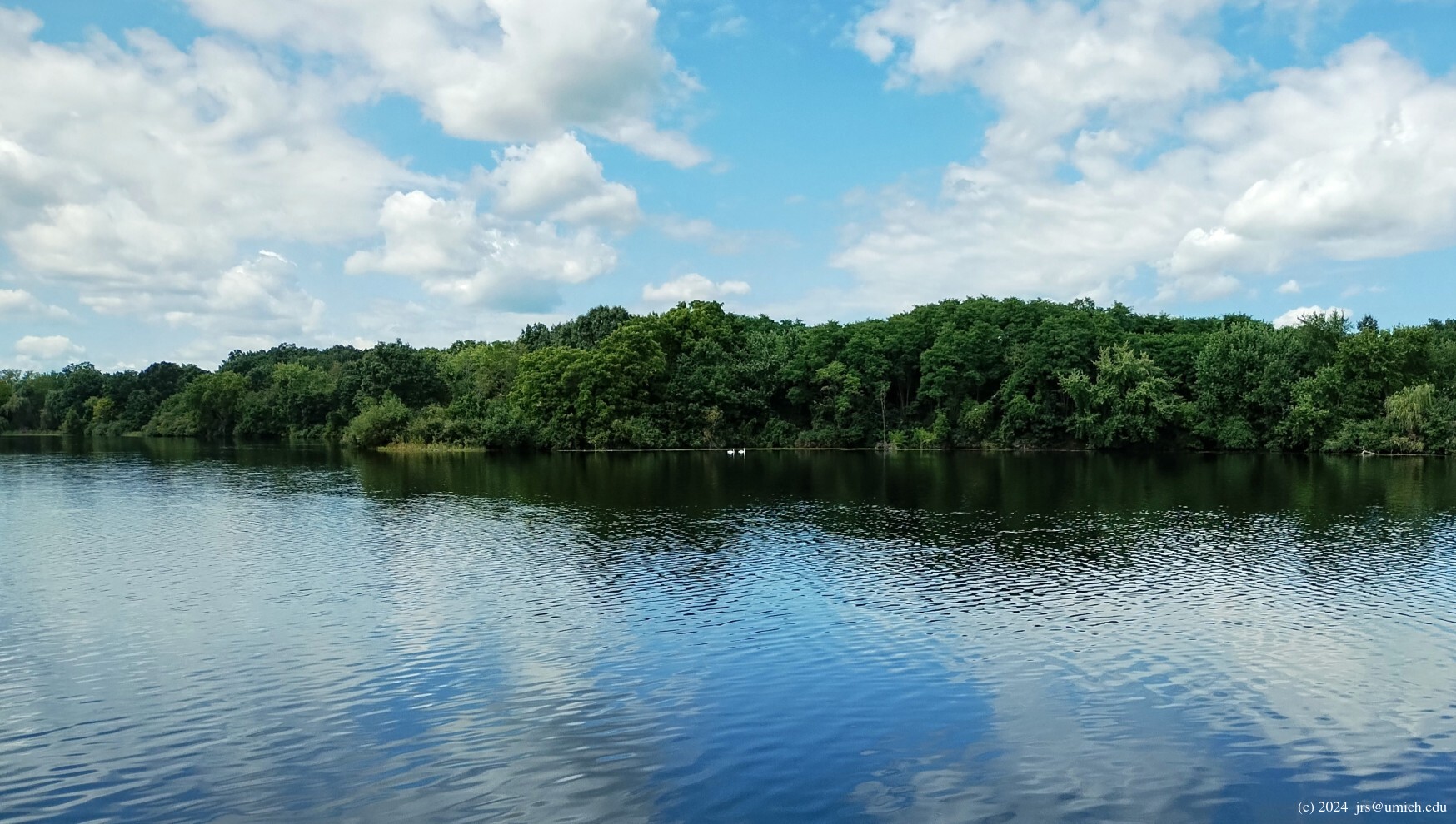
along a ridge on the north side of a
lake with no name .
Again, distinguishing the trail from the maze of paths that criss-cross
this area can get tricky. One should also be aware that some of these
paths make it possible to unknowingly trespass -- the No Name Lake
and its immediate surroundings are on private property,
outside of the park.
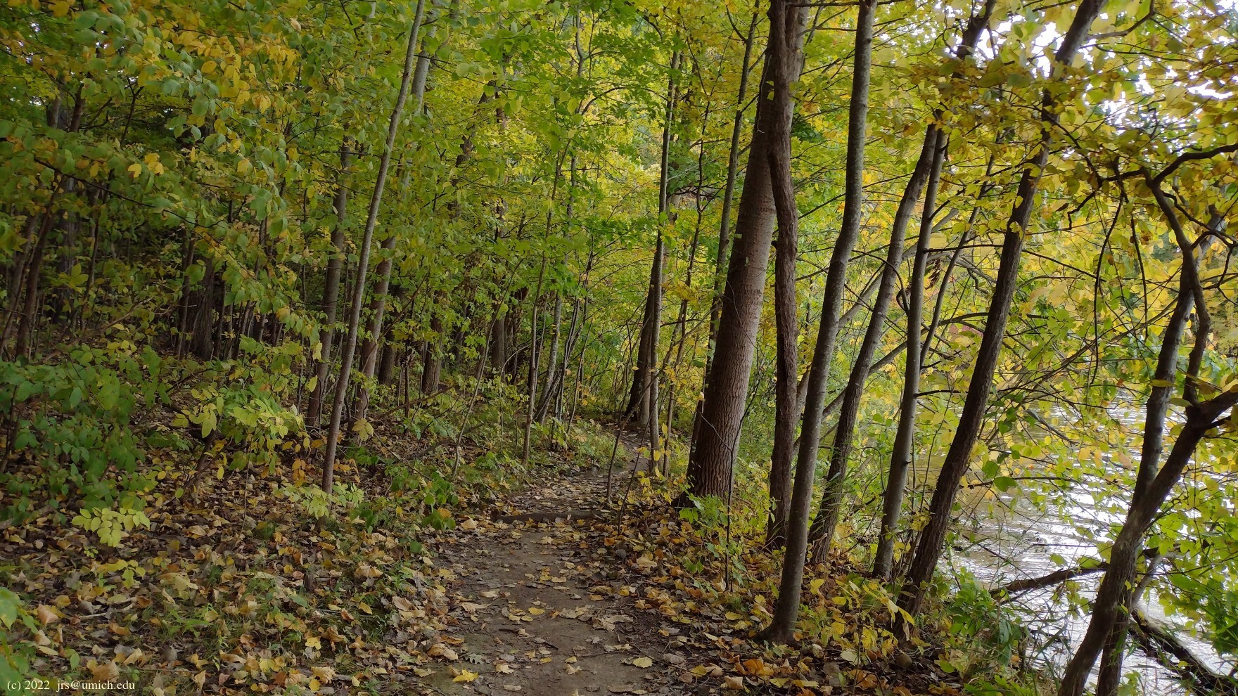
From there, the trail continues east and eventually north to Marker F
through a dense
oak-hickory forest .
After you re-cross the paved pathway, the trail returns to the south
side of Kent Lake at Marker G. A second paved pathway, crossing the trail
right at Marker G, offers a short 0.2 mile connecting route to Kensington
Metropark; it passes underneath I-96. The chance to see some
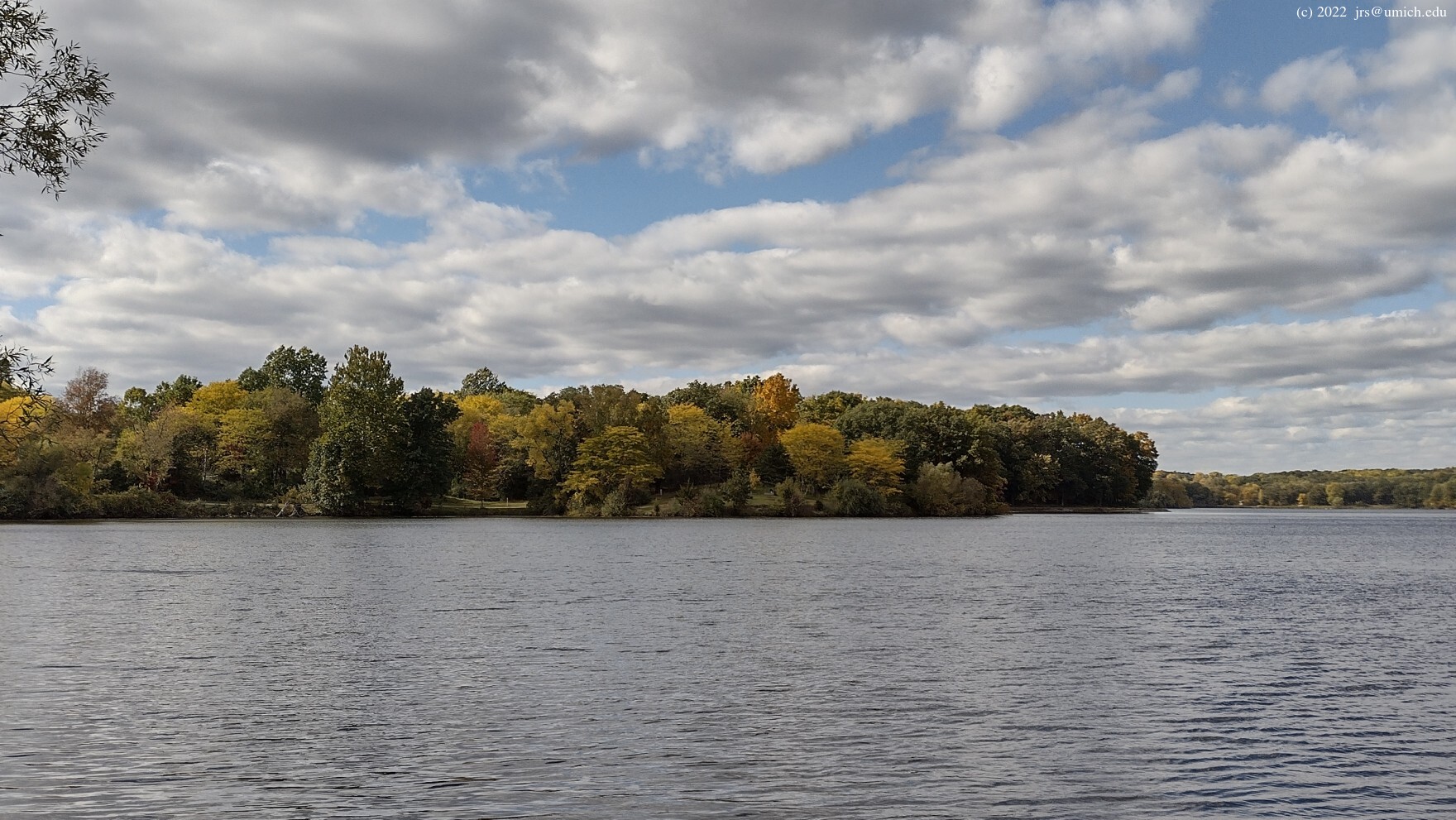
gorgeous views
of the northern half of Kent Lake may justify a quick side trip here.
The trail forks at Marker H, the preferred choice for hikers
being the option to descend some stairs to a platform offering close up
views of the lake
and a trail that hugs the
shoreline .
Skiers will need to take the parallel trail that runs on higher ground.
After the trails reconnect at Marker I, it is a matter of crossing
the beach area to return to Marker A.
I've posted a GPX route map for the Hickory Ridge Trail here [What's this?].

The 5.8 mile Yellow Trail is also a terrific hike, even if you have to share it with mountain bikers. One advantage it has is that the shooting range is more distant and its serenade less noticeable.
It is advisable to traverse the loop
counterclockwise, since the bikers are obliged to ride it clockwise.
With that in mind, your hike should start at the north end of the
trailhead parking lot and finish at the south end. And if you had
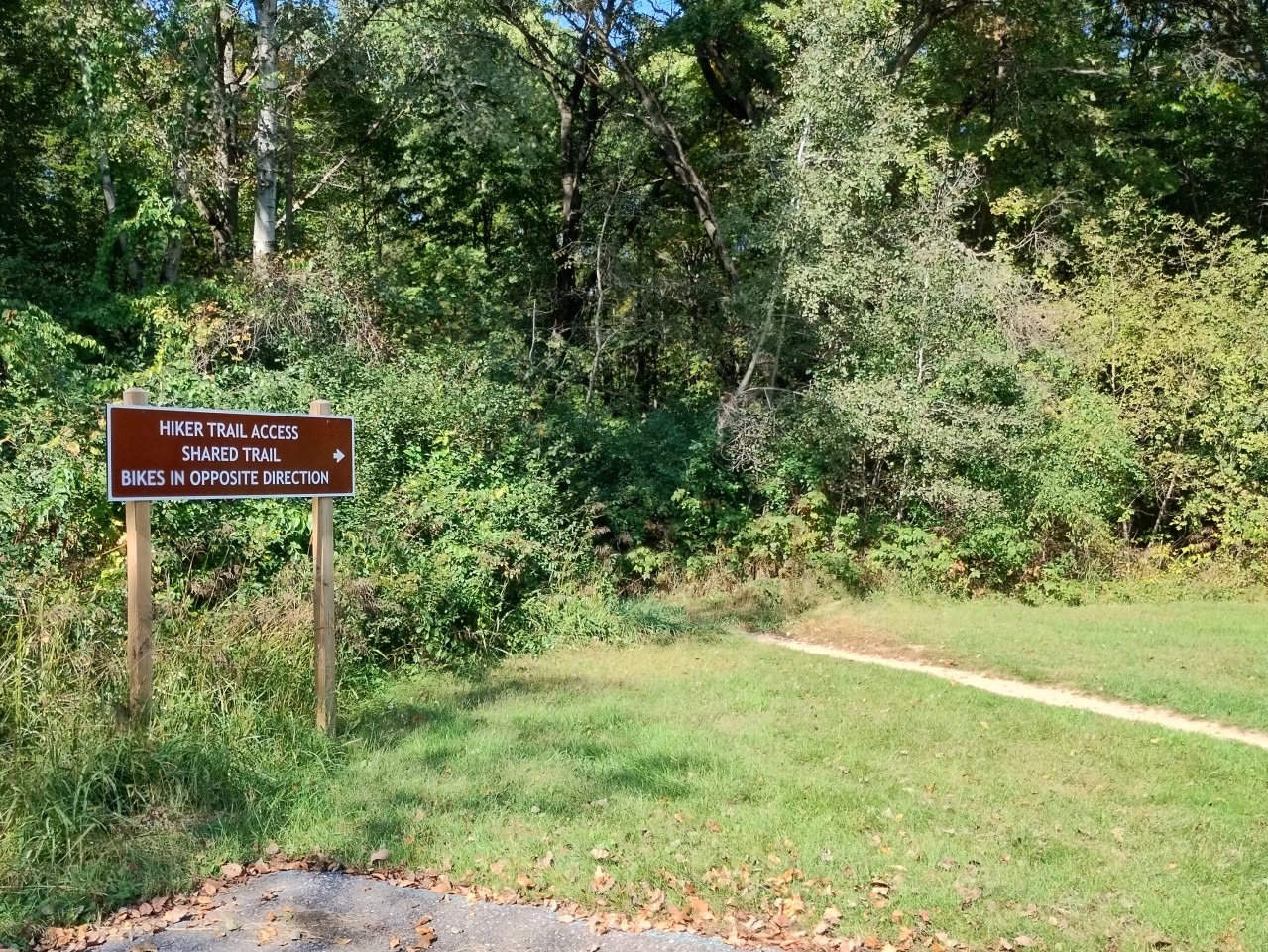
any uncertainty about which crowd "owns" this trail and whose presence
is merely tolerated, a comparison of the
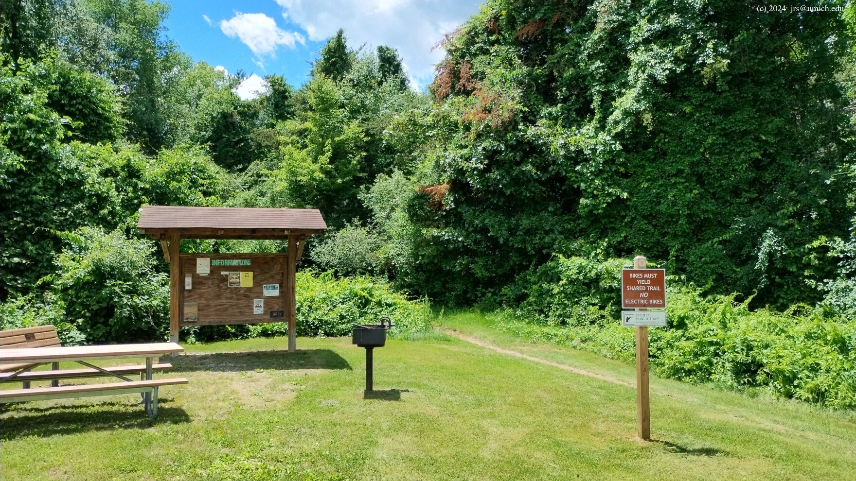
biker trailhead
at the south end with the
sign for hikers
at the north end next to the outhouses will leave no doubt.
Another reminder of status are the mileage markers posted every half mile on the trail. The mileages are visible only if you are looking in the clockwise direction.
The initial stretch of the hike is shared with the Blue Trail; after
about 200 yards, the trail forks. Blue to the left, Yellow to the right.
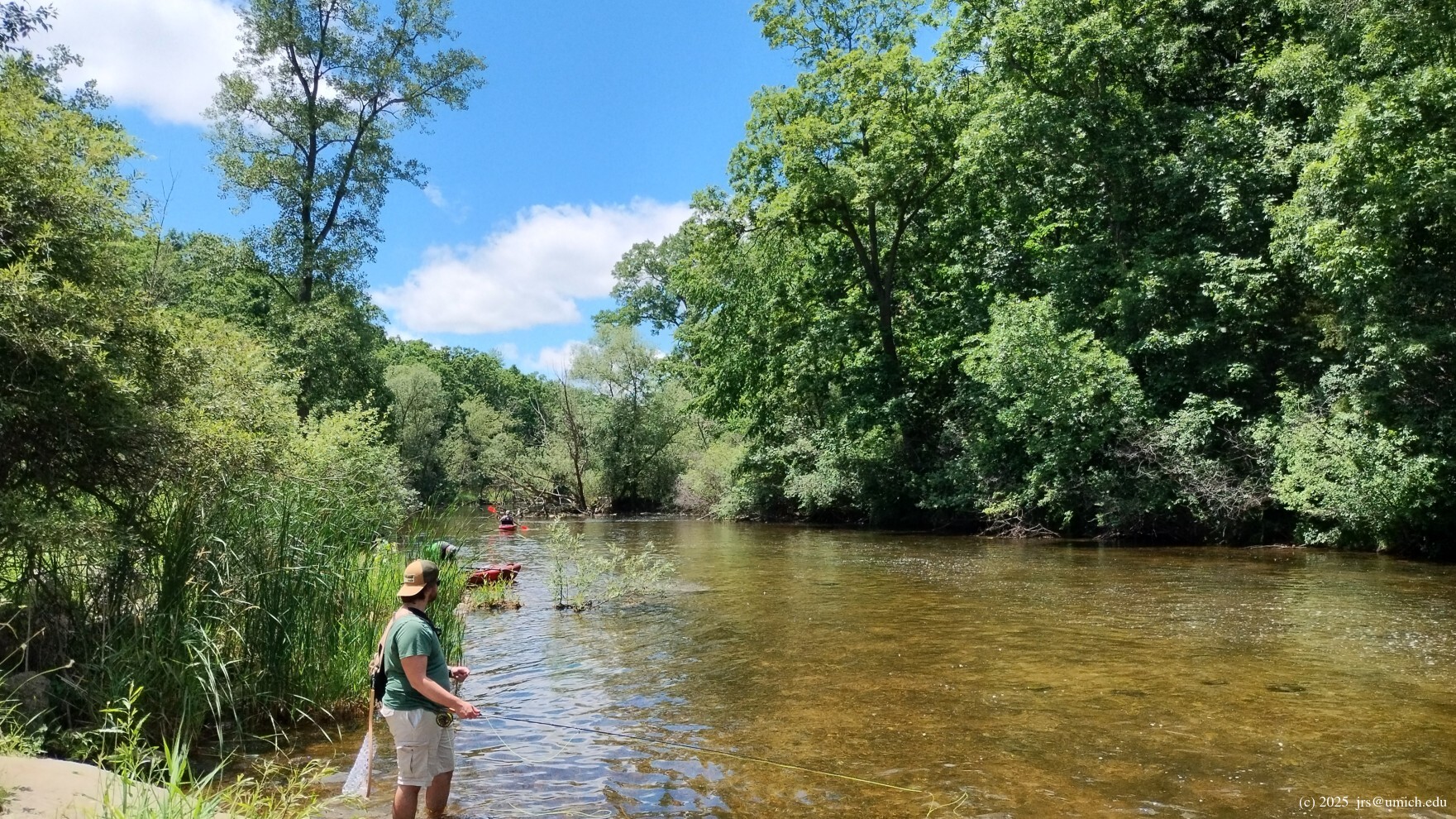
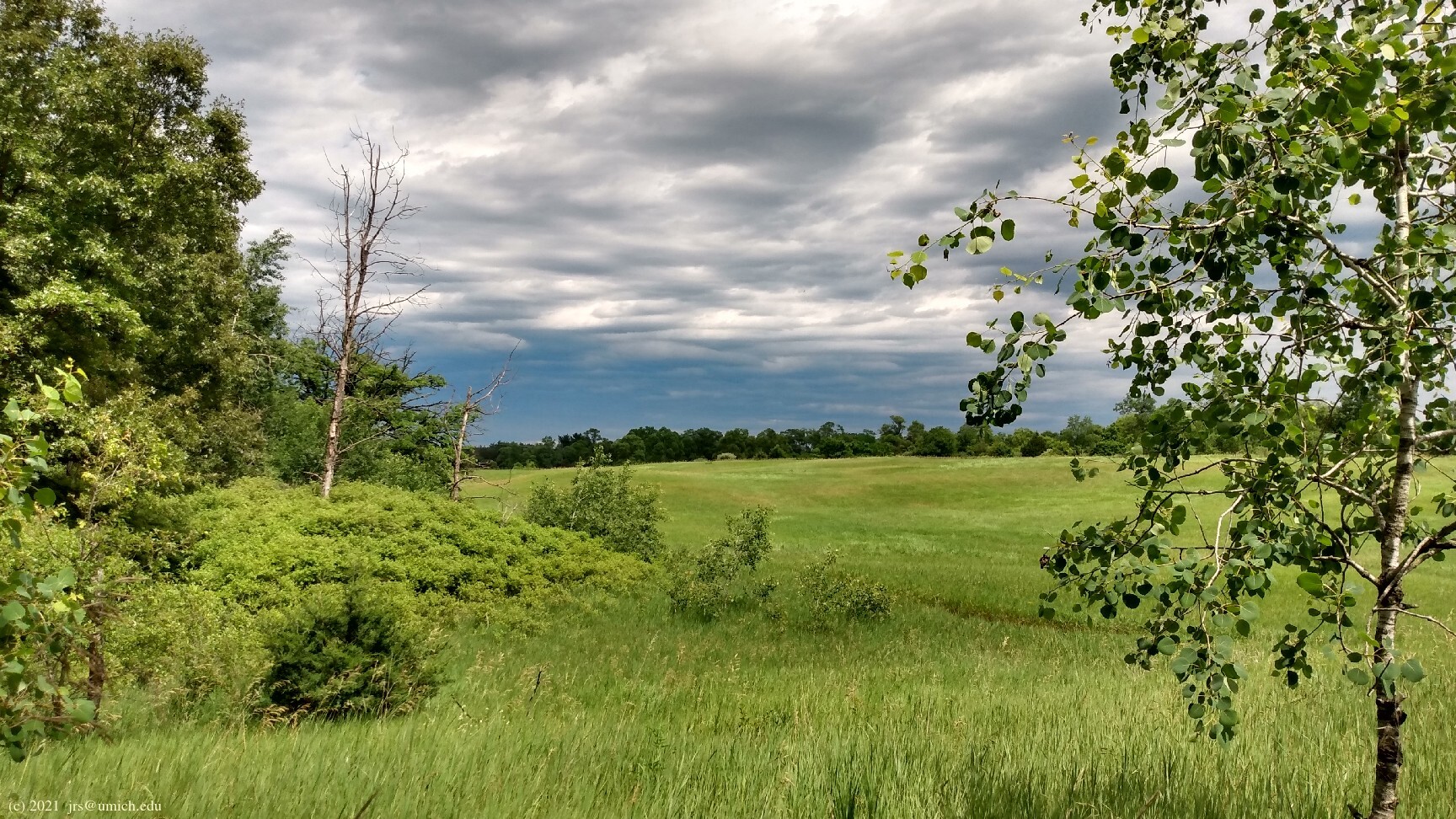
The major themes are dense woods (both pine and hardwoods),
numerous segments alongside the Huron River
(including two bridge crossings), and short stretches of wetlands and
open grasslands .
There are a few modest hills, but nothing especially strenuous.
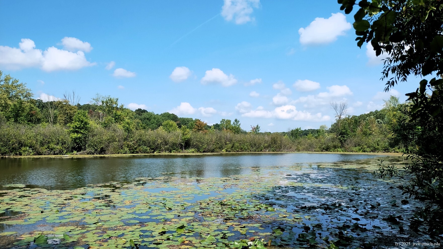
After nearly 2 miles of hiking, you may want to follow the
short spur
on your left leading to a
small pond .
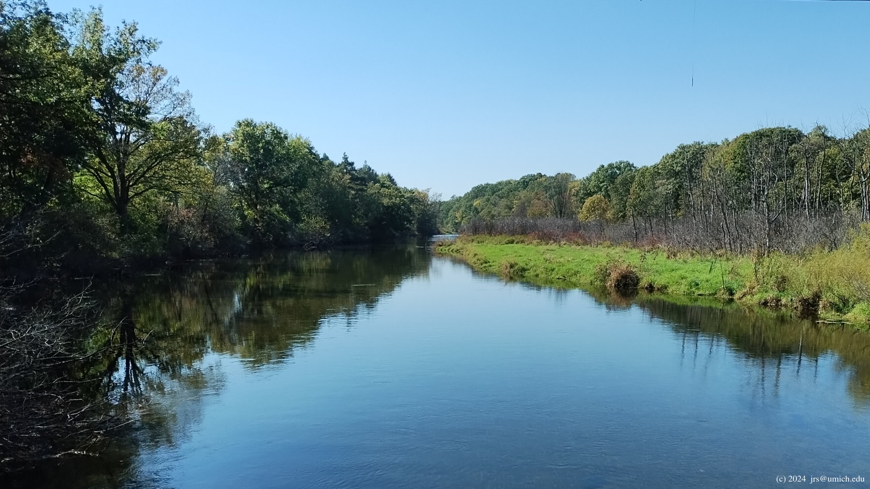
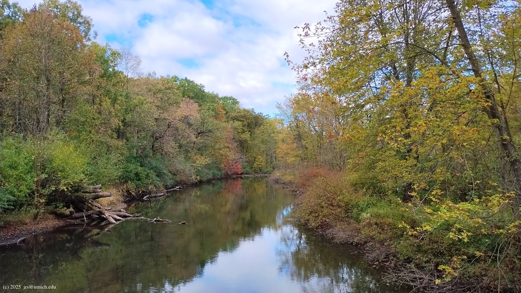
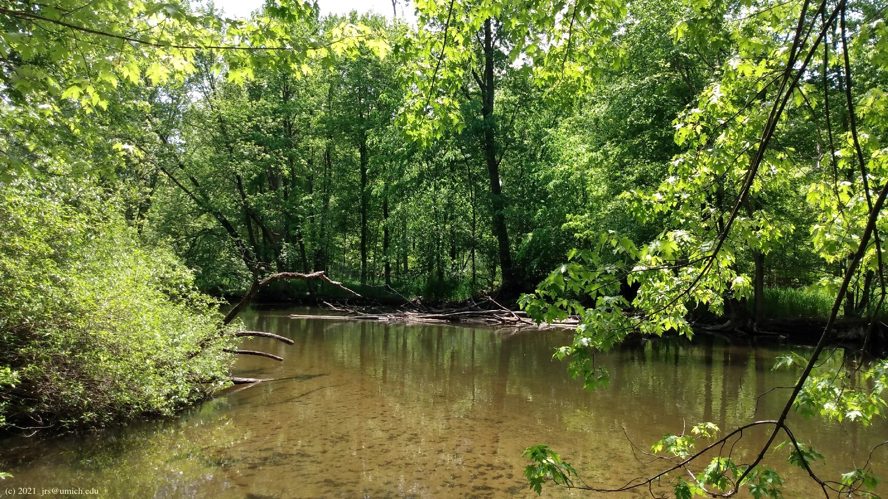
After another 1/2 mile or so, you will pass by a beautiful
S-shaped meander
on the Huron River.
I've posted a hiker-oriented (i.e., counterclockwise) GPX route map for the Yellow Trail here [What's this?]. It includes the pond spur as well as a short detour to a fishing area on the Huron River.
The 9.1 mile Blue Trail offers an equally compelling hike through forests and open fields and across rivers and creeks. It includes direct access to Island Lake and the beach at Spring Mill Pond. As with the Yellow Trail, it is advisable to traverse the loop counterclockwise, against the flow of mountain bikers.
If you have a limited amount of time, the following four shortcuts can be used in various combinations to shrink the length of the hike by as much as 2.9 miles:
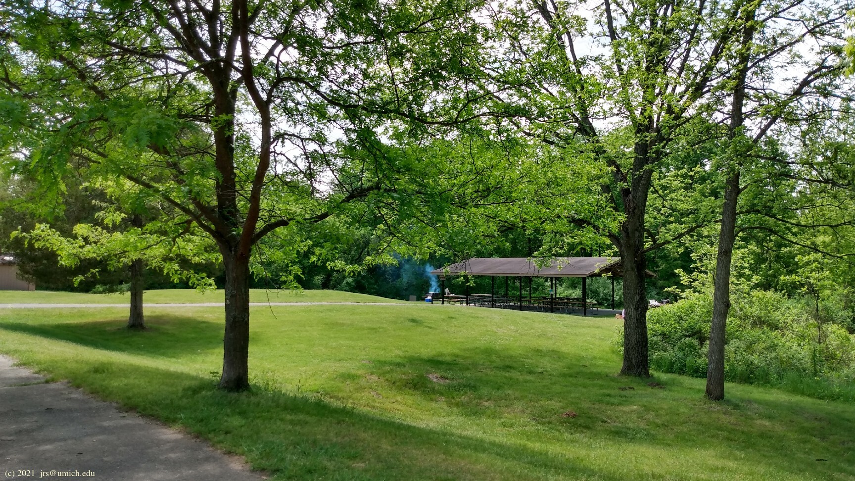
First, consider that the trail passes through the
Riverbend Picnic Area
twice, not far from the trailhead. So it is
possible to start and finish your hike at Riverbend and cut out the 0.85
mile round trip between there and the trailhead. This section of the trail
is tightly interwoven with the Yellow Trail, so you will have a chance
to explore this area on a Yellow hike.
Second, given that your counterclockwise Blue Trail hike started from
Riverbend, the initial stretch of trail heads in a westerly direction.
After about 0.5 miles, another shortcut opportunity will present itself:
the trail turns due north, while there is a
narrow footpath
branching off to your left that heads northwest parallel to the
railroad tracks. This path rejoins the Blue Trail after about 0.35 miles
and will shorten your hike by another 0.85 miles. It also will give you
a brief respite from bike traffic.
The trail continues west towards State Park Drive, where it turns south
and crosses the railroad. However, before that, you probably should take
a detour on one of the footpaths leading towards
Island Lake .
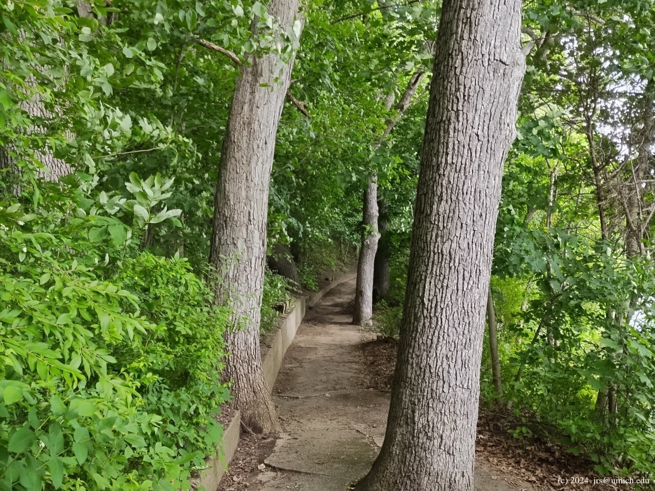
Once you arrive at the picnic area, look for the staircases leading down
to the water and the
sidewalk
running between them.
Two more opportunities for shortcuts are available south of the Placeway Picnic Area, where the Blue Trail wanders back and forth across State Park Drive in two C-shaped segments. Either or both of these segments can be replaced with walks along the paved road, and they will shorten your hike by 0.6 miles each. Note that the second of these trail segments ends at a spot where the road and trail both cross Spring Mill Creek.
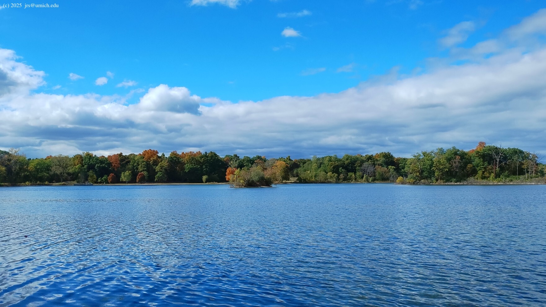
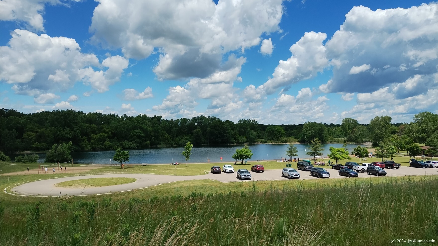
When you arrive at Spring Mill Pond, the Blue Trail runs eastward,
south of the beach and parking area. You may appreciate the
panoramic view
that the trail affords from a hilltop overlooking the beach area.
Or, you may find it preferable to avoid both bikes and crowds by
instead taking the
narrow footpath
that runs along the north shore of the pond, rejoining the trail on the
other side.
I've posted a GPX route map [What's this?] for the Blue Trail and a 6.1 mile abridged version. The latter starts and finishes at the Riverbend Picnic Area and follows each of the four shortcuts described above as well as the detours to Island Lake and the north side of Spring Mill Pond.
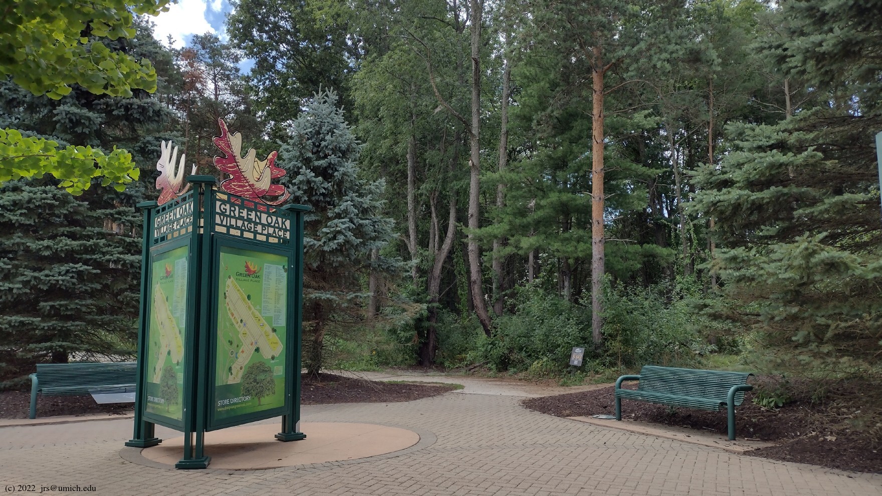
New!
At the east end of the Green Oak Village Place shopping mall there
is a 1/2 mile
connecting trail
that leads to the Blue Trail.
Although it will add 1 mile to the length of your Blue hike if you start
and finish there, the convenient location (near the US-23/I-96 interchange)
means less driving time -- about 7 minutes less each way for
those driving from Ann Arbor.
I've posted a GPX route map for this trail
here
[What's this?],
and an earlier version is still available online at
MapPedometer .
Head north on US-23 to eastbound I-96. Take Exit 151 (Kensington Road) from I-96 and turn left (south) onto Kensington. Look for the park entrance on the left (east) after about 1/2 mile. An alternative approach from the south is to exit US-23 at Silver Lake Road (Exit 55), following the latter as it snakes north and east. After 4.5 miles, turn left (north) onto Kensington Road and look for the park entrance on the right (east) after about 1.2 miles.
To reach the Hickory Ridge trailhead, follow the signs east to Kent Lake Beach. The parking lot for the beach will be on your left after about 0.75 miles, and the trailhead is at the northwest end of the parking lot.
If you are headed to the Yellow or Blue trails, look for a right turn just after you pass through the entrance gate. This heads southwest and takes you through an underpass beneath Kensington Road. Access to the trailhead and parking lot is about 1.25 miles farther west; the access road for the Riverbend Picnic Area is slightly beyond that.
Driving time from North Main in Ann Arbor is 20 to 25 minutes.
A Michigan
recreation passport
is required for vehicle entry.
If you want to use Green Oak Village Place as the starting point for your Blue hike, Exit 58 on US-23 leads directly to the mall. Park near the JCPenney at the east end.
[The] Island Lake Recreation Area in southeast Michigan encompasses 4,000 acres of state land offering a wide range of activities. Visitors can enjoy two busy buoyed swim areas, multiple picnic areas, multiuse trails, rustic cabins, organization and canoe campgrounds and several lakes. The park also features six miles of Huron River frontage and a state-of-the-art shooting range. Popular activities include mountain biking, paddling, hiking, swimming, triathlon training, picnicking, hunting, fishing and trapping.
The park offers a refreshingly undeveloped and natural environment, characterized by four inland lakes, the meandering Huron River and a diverse landscape of open brushland, mature hardwood forests and scattered meadows.