in Highland and White Lake Townships (Oakland County)
 ,
mountain bike trailhead
,
mountain bike/equestrian trails
,
mountain bike trailhead
,
mountain bike/equestrian trails
Equestrian Trails (2018 PDF)
,
mountain bike trailhead
,
mountain bike/equestrian trails
[*] The trail marker numbering on the Cedar Creek Trail map has errors. One of the two markers numbered 25 is actually 28, and markers 28--34 are 29--35.
New! The GPX route maps provided below show the locations of key trail markers.
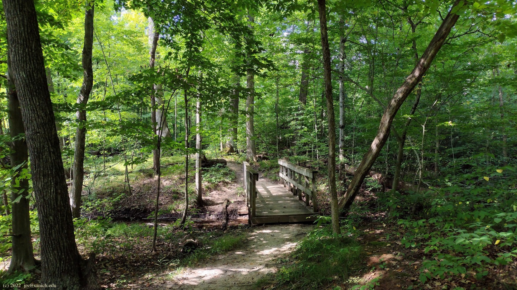
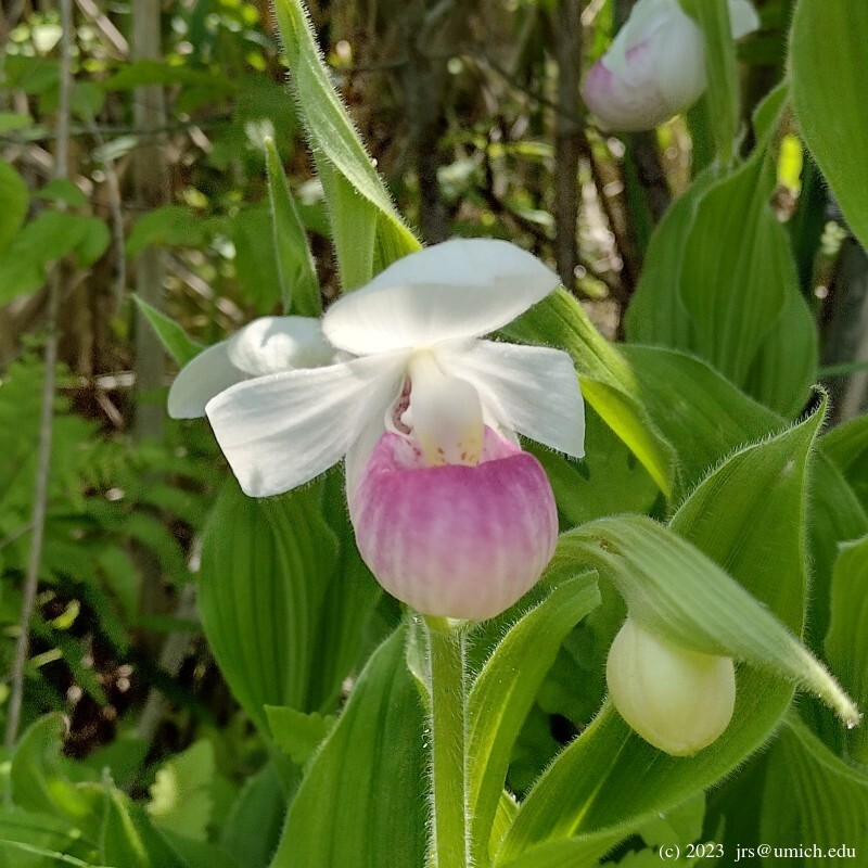
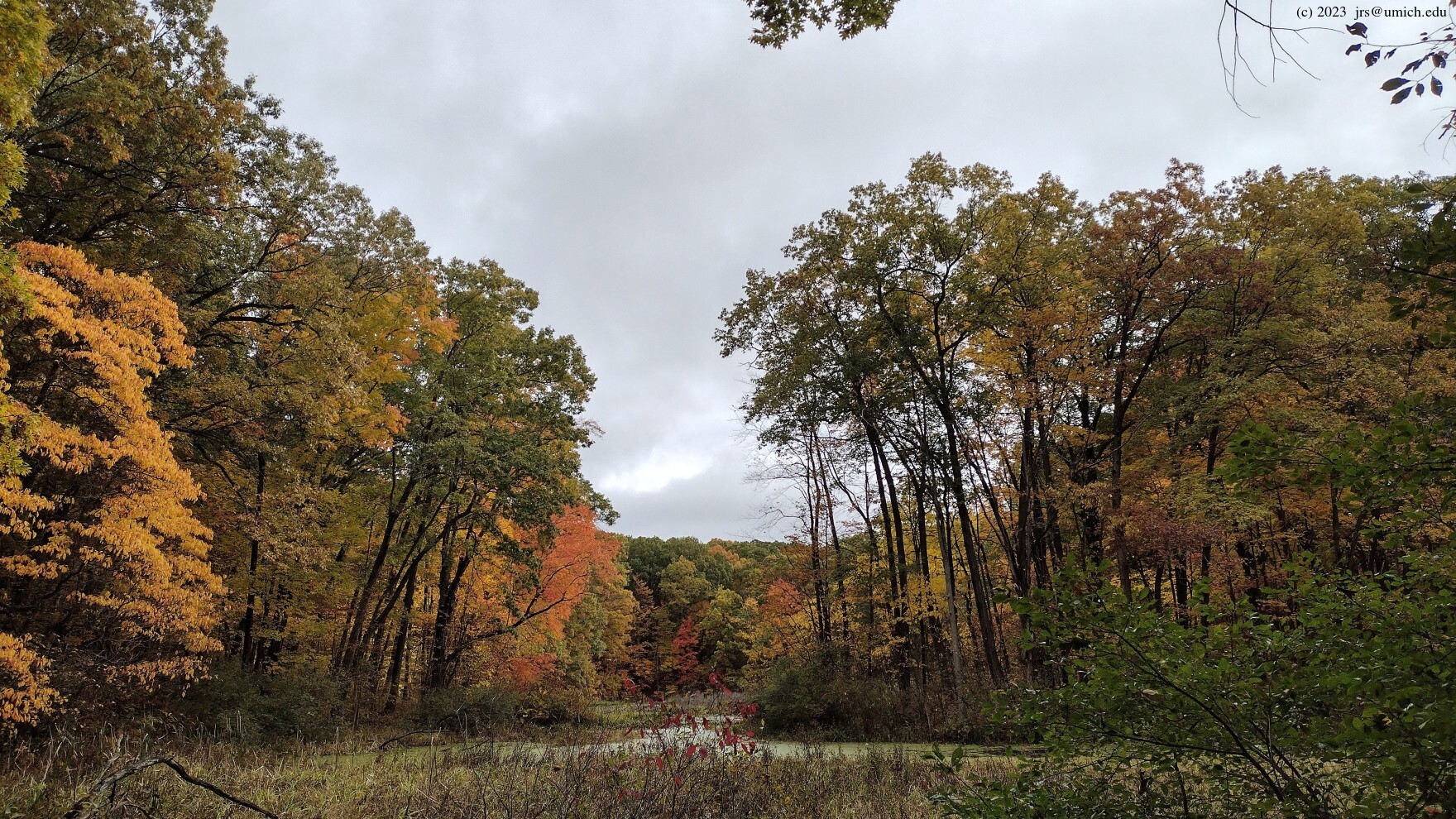
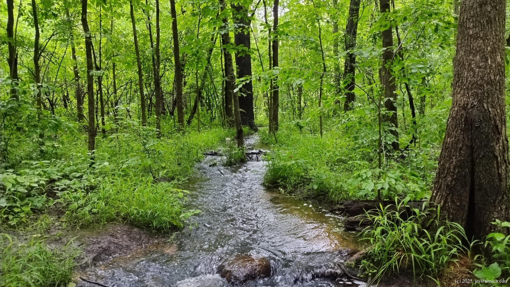
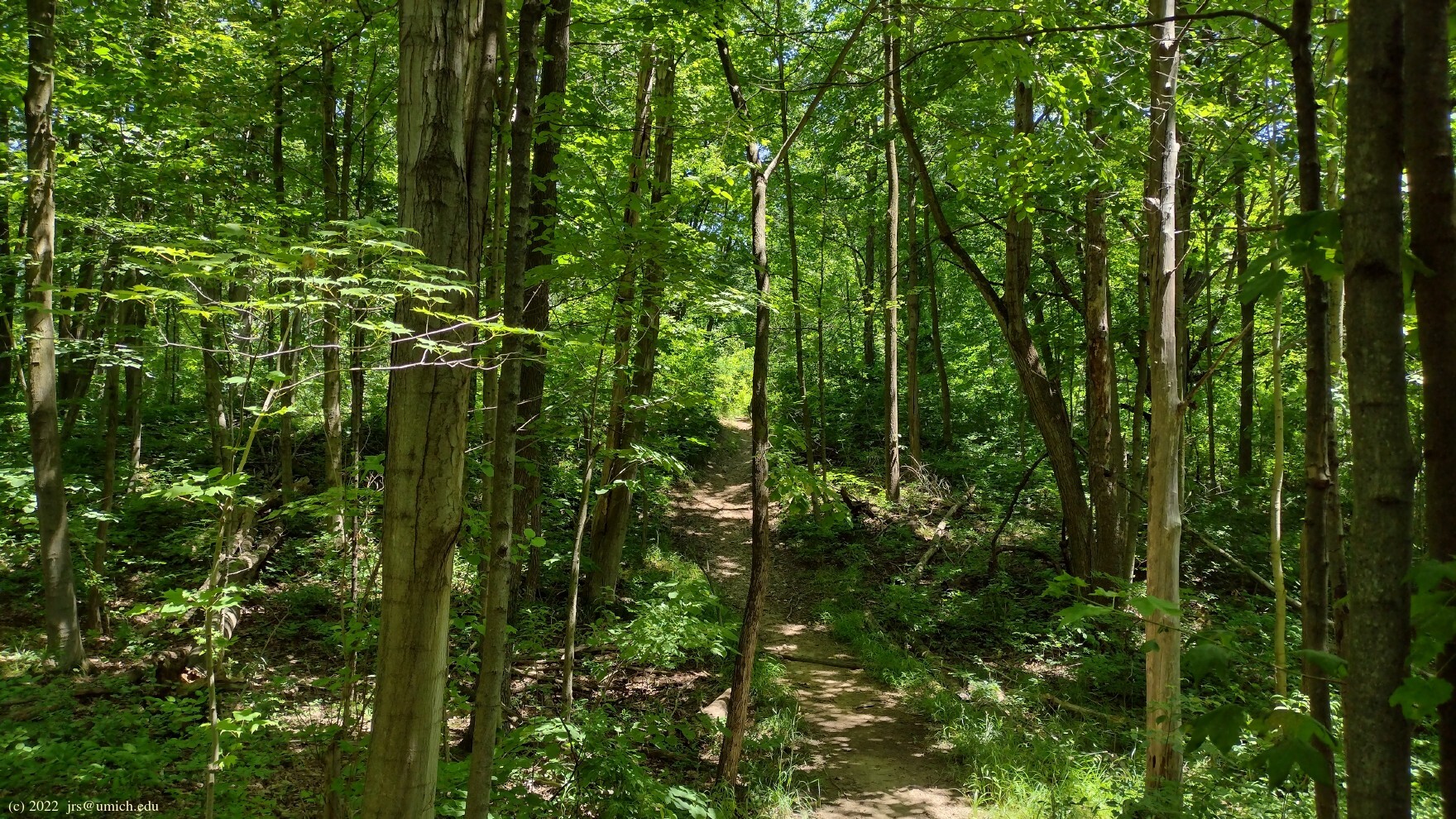
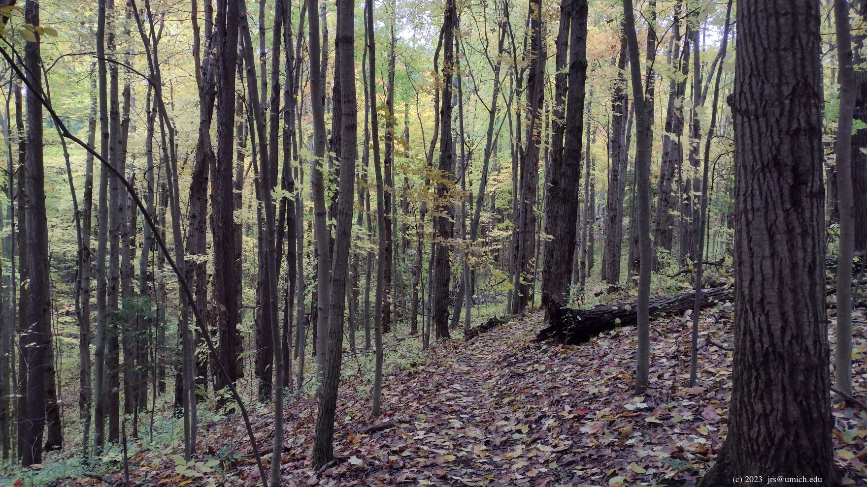
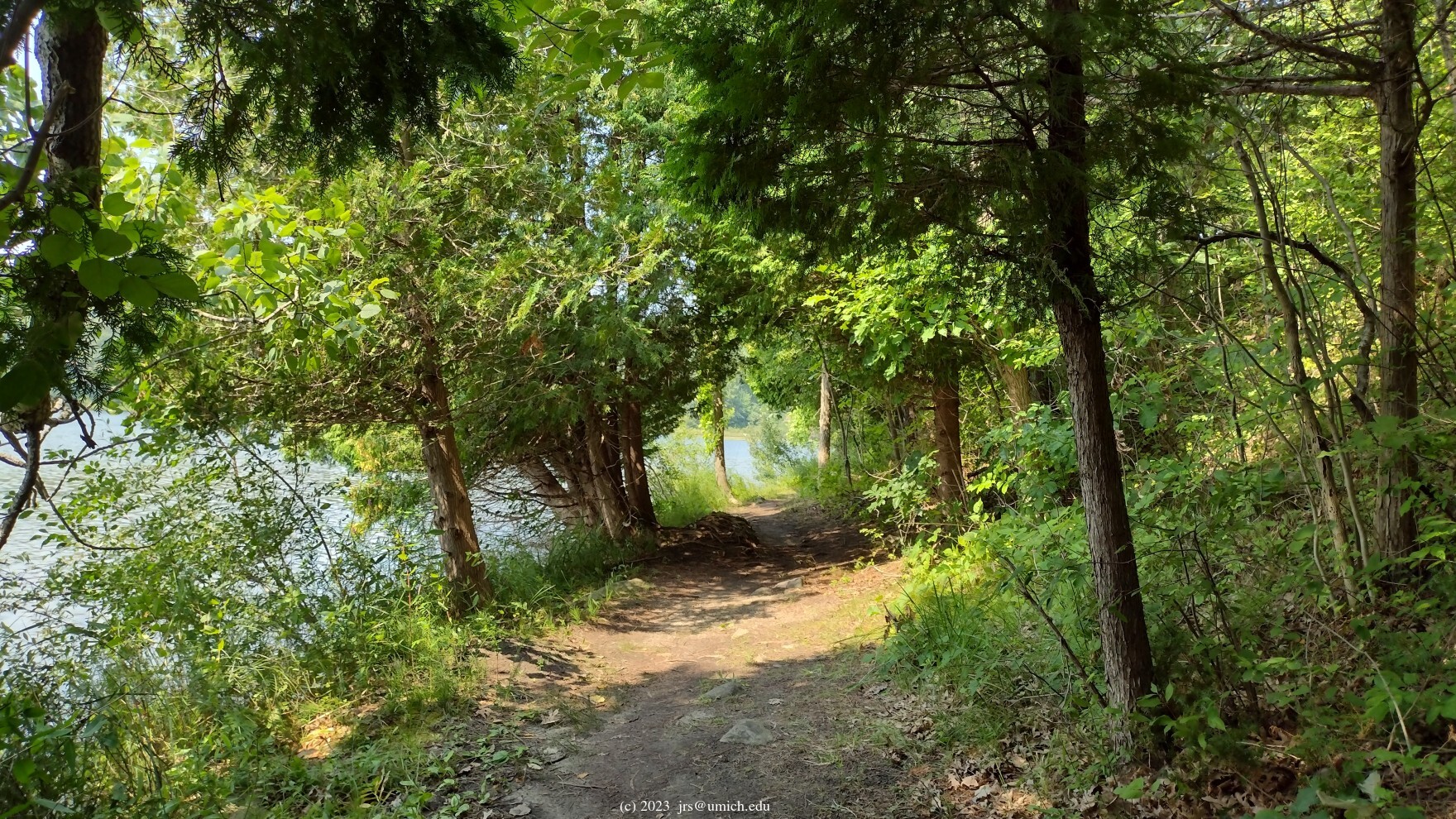
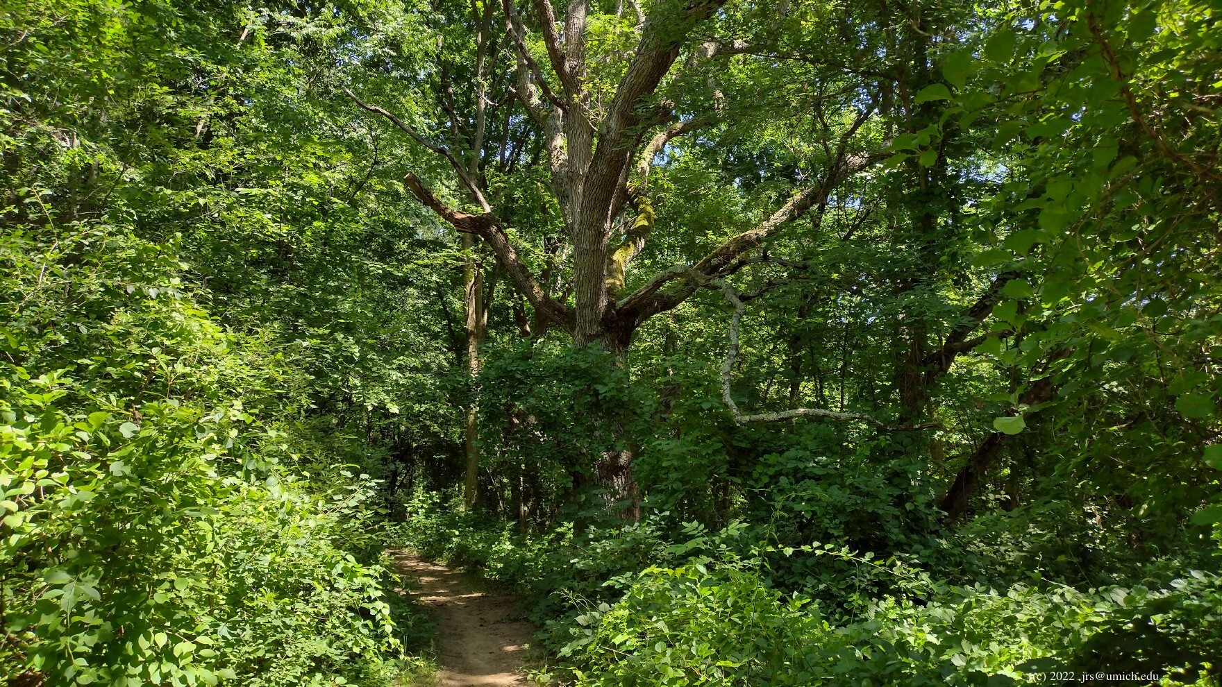
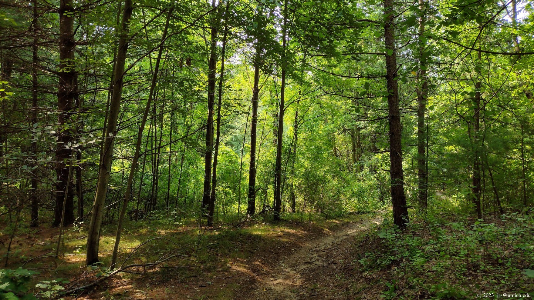
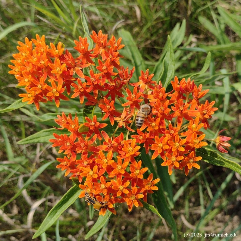
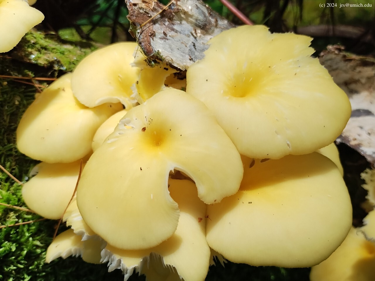
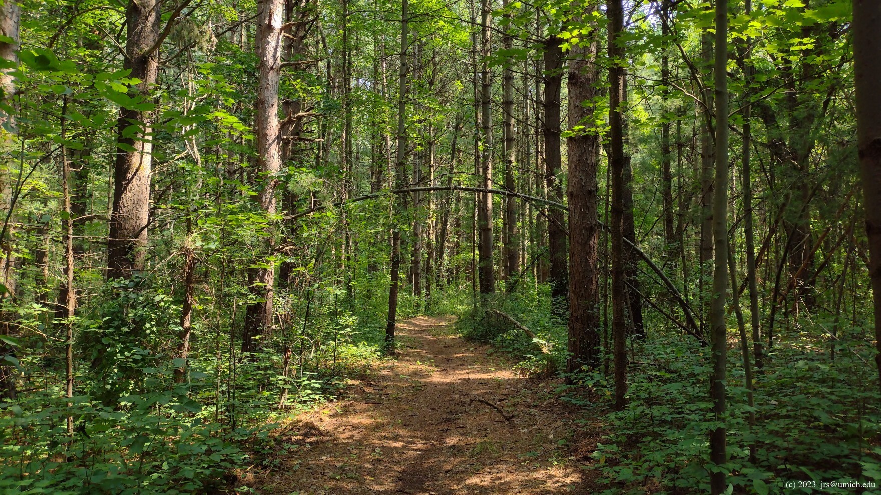
Photos from trails in the Haven Hill Natural Area:
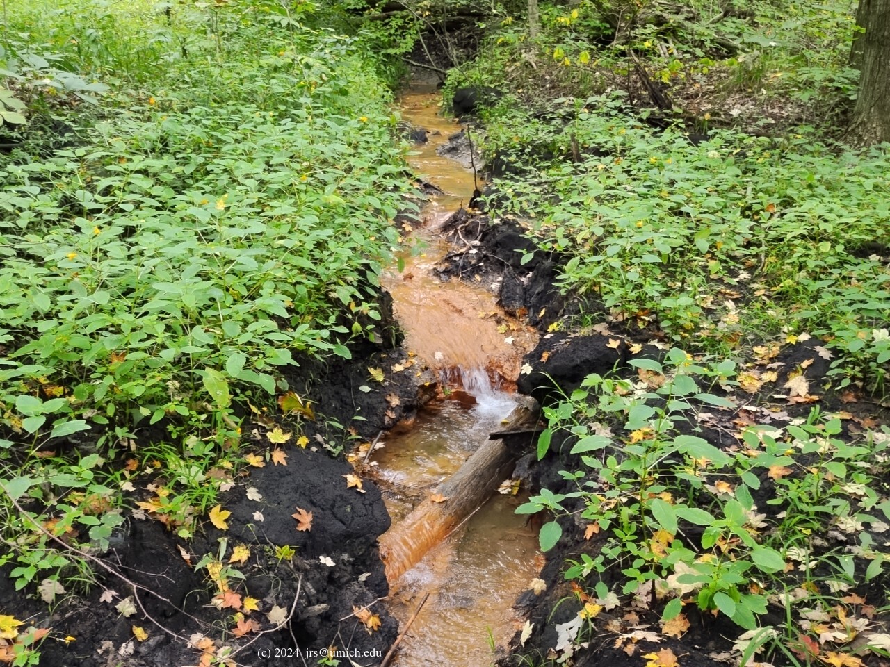
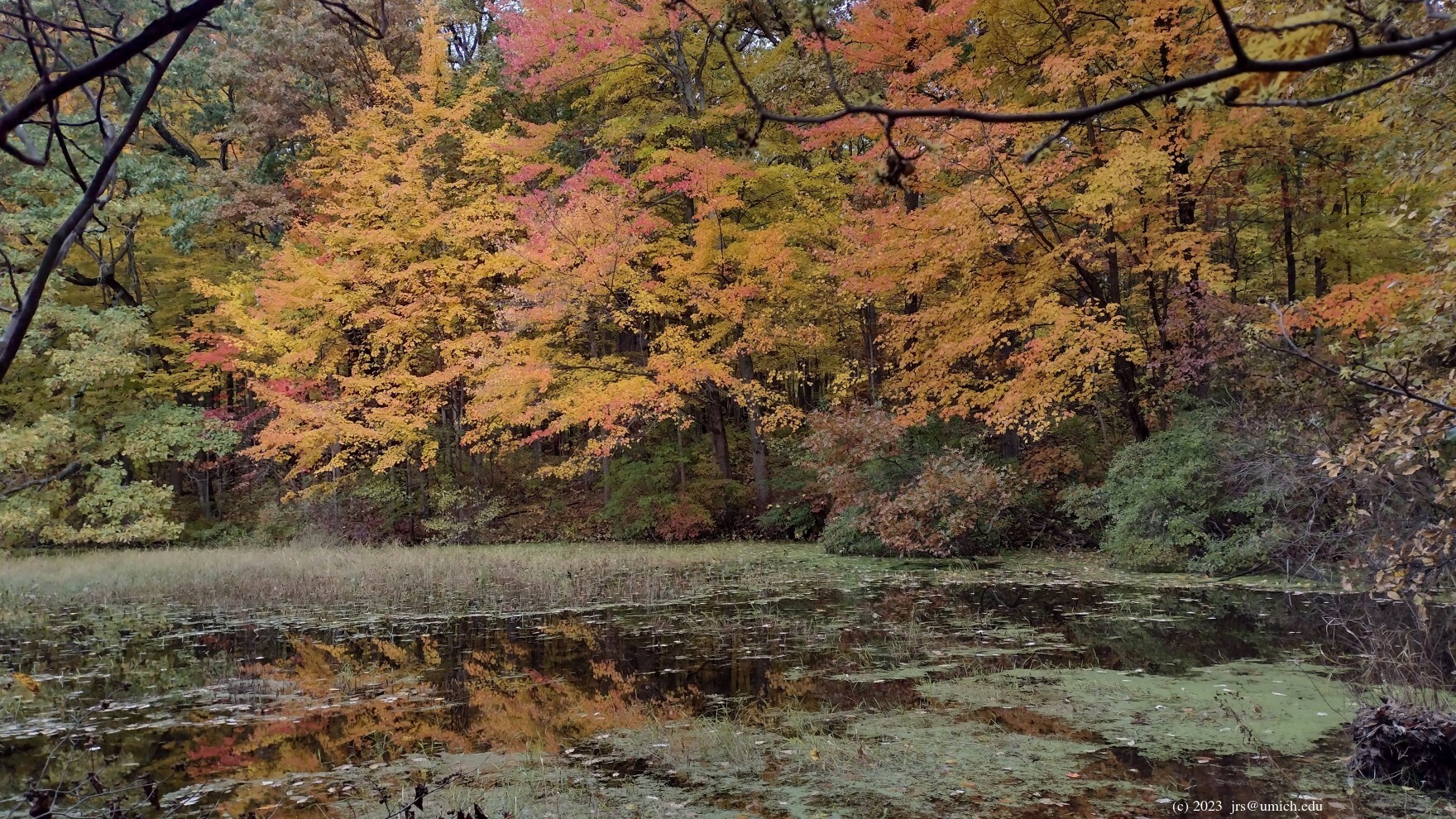
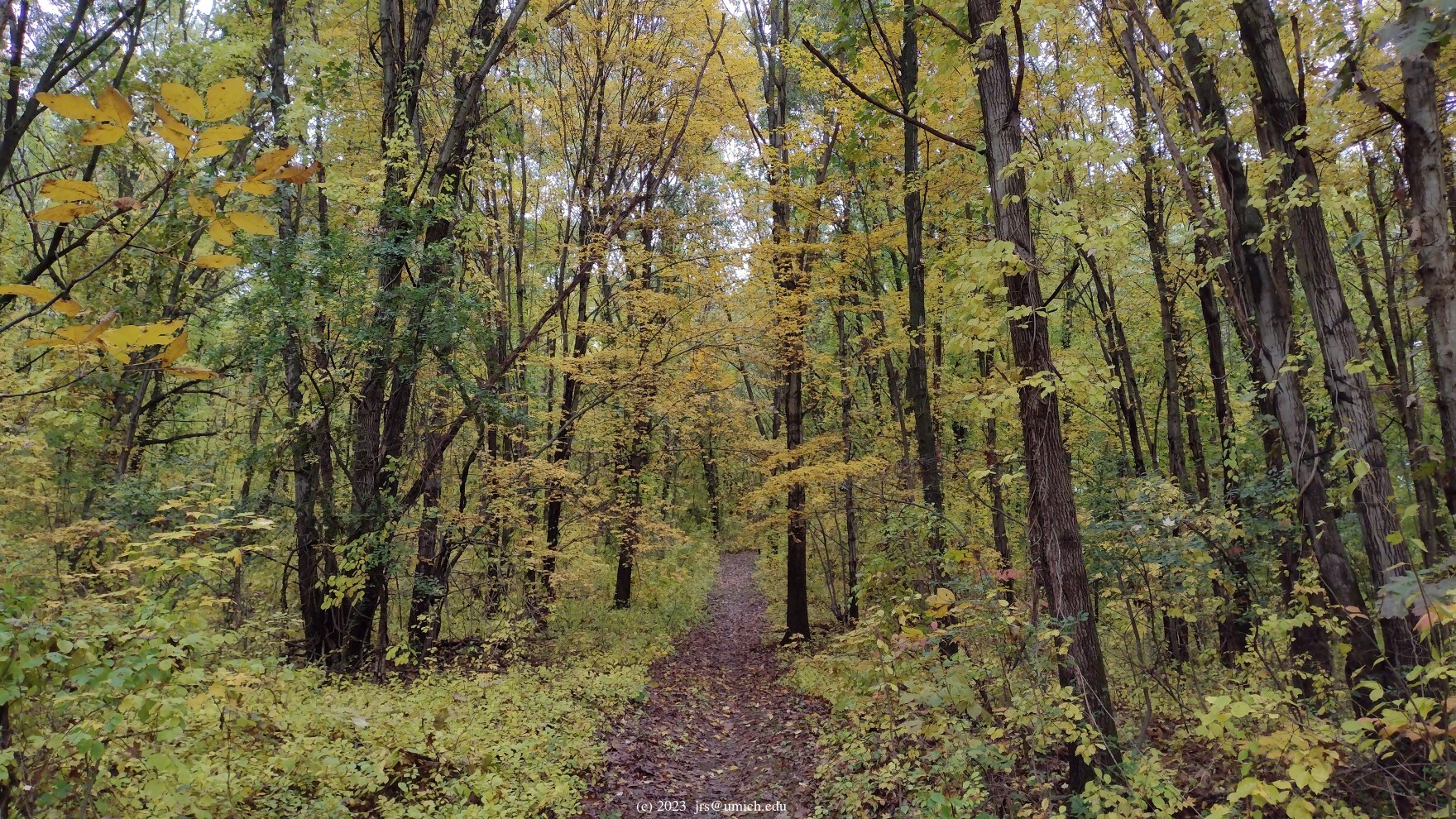
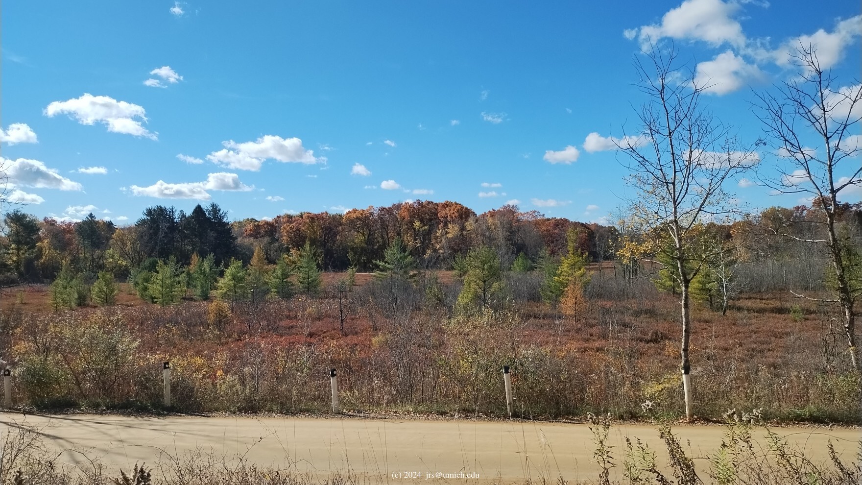
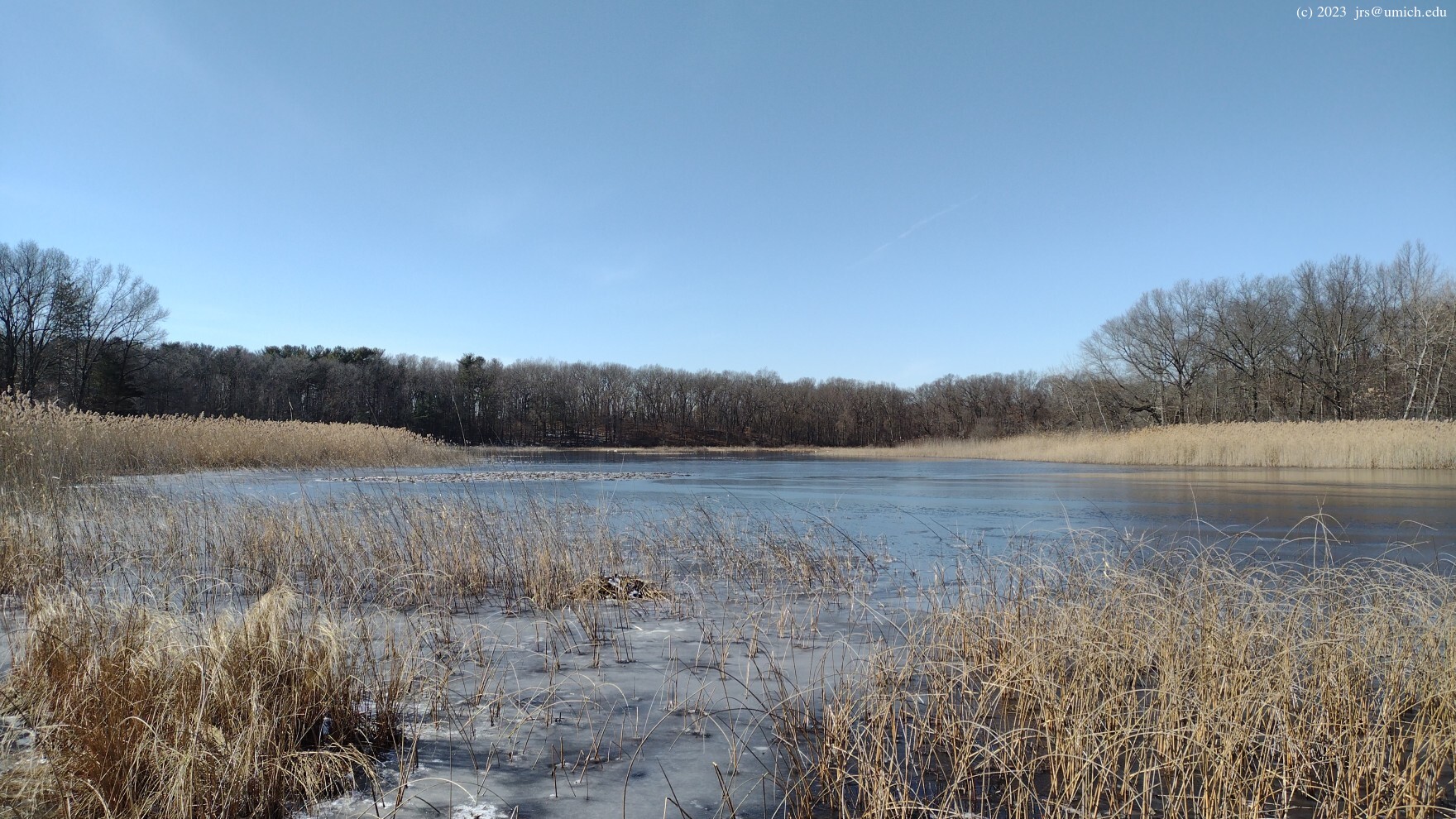
Photos from Goose Meadow, Haven Hill Lake, and points nearby:
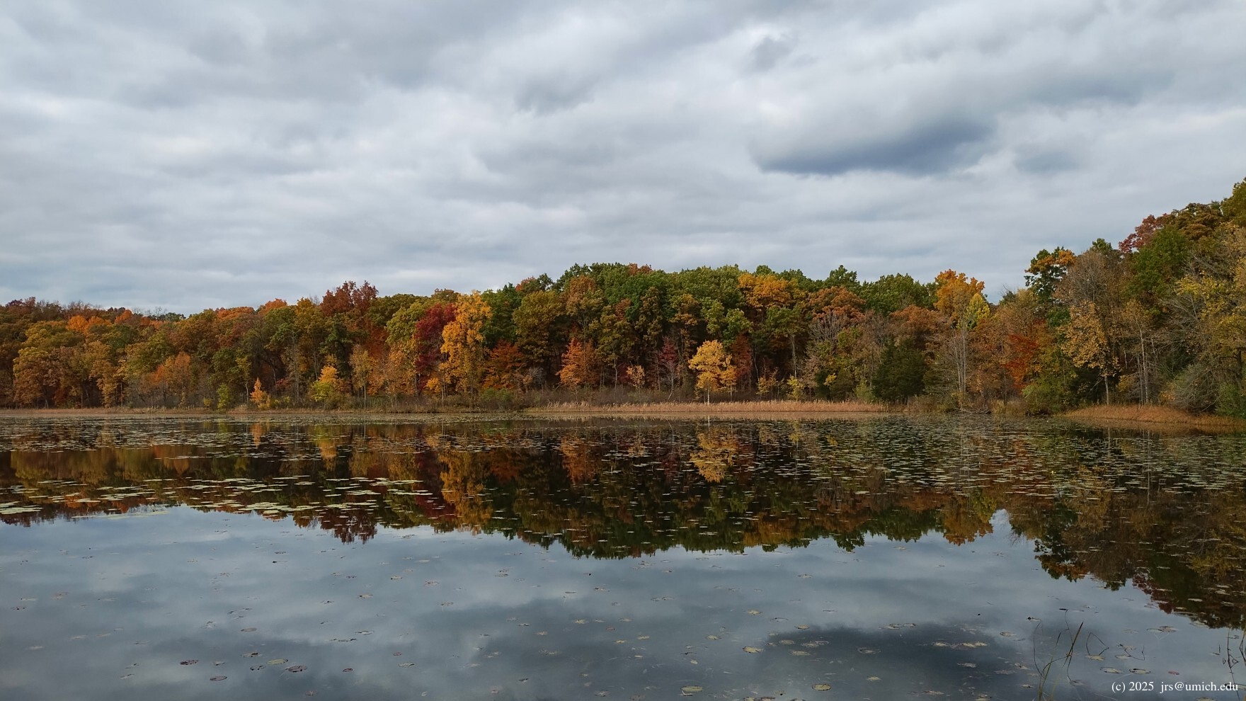
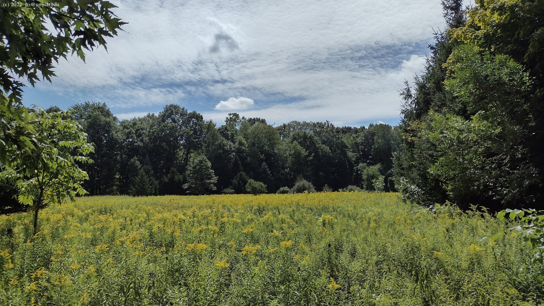
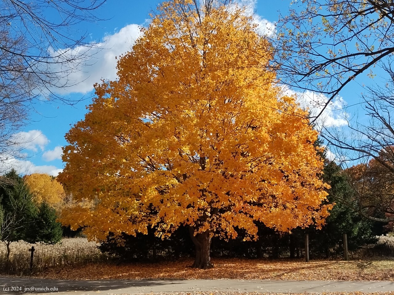
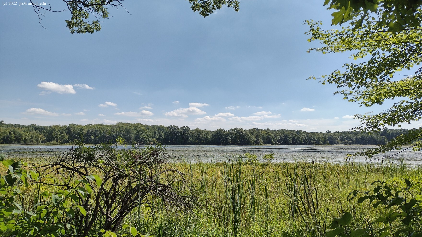
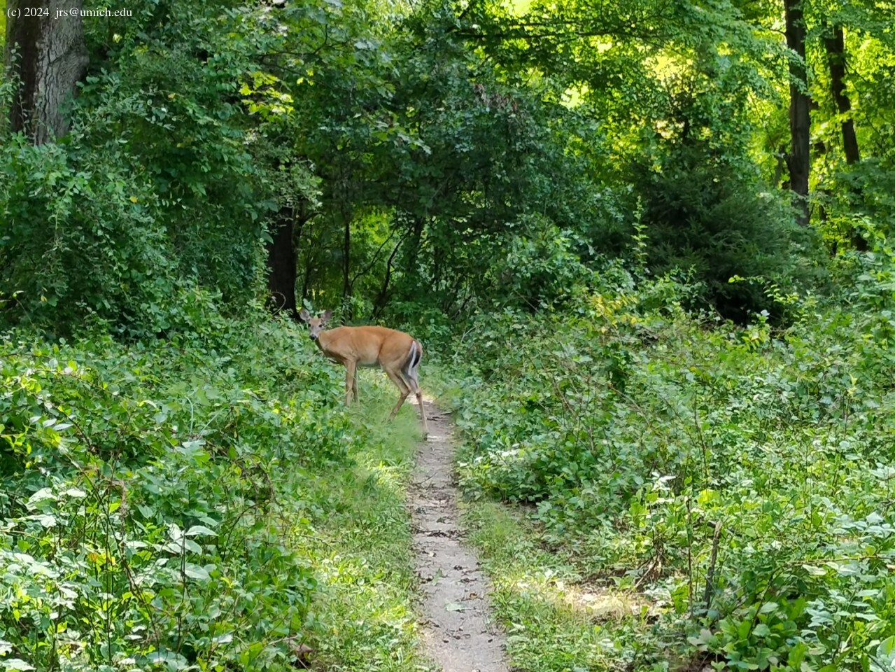
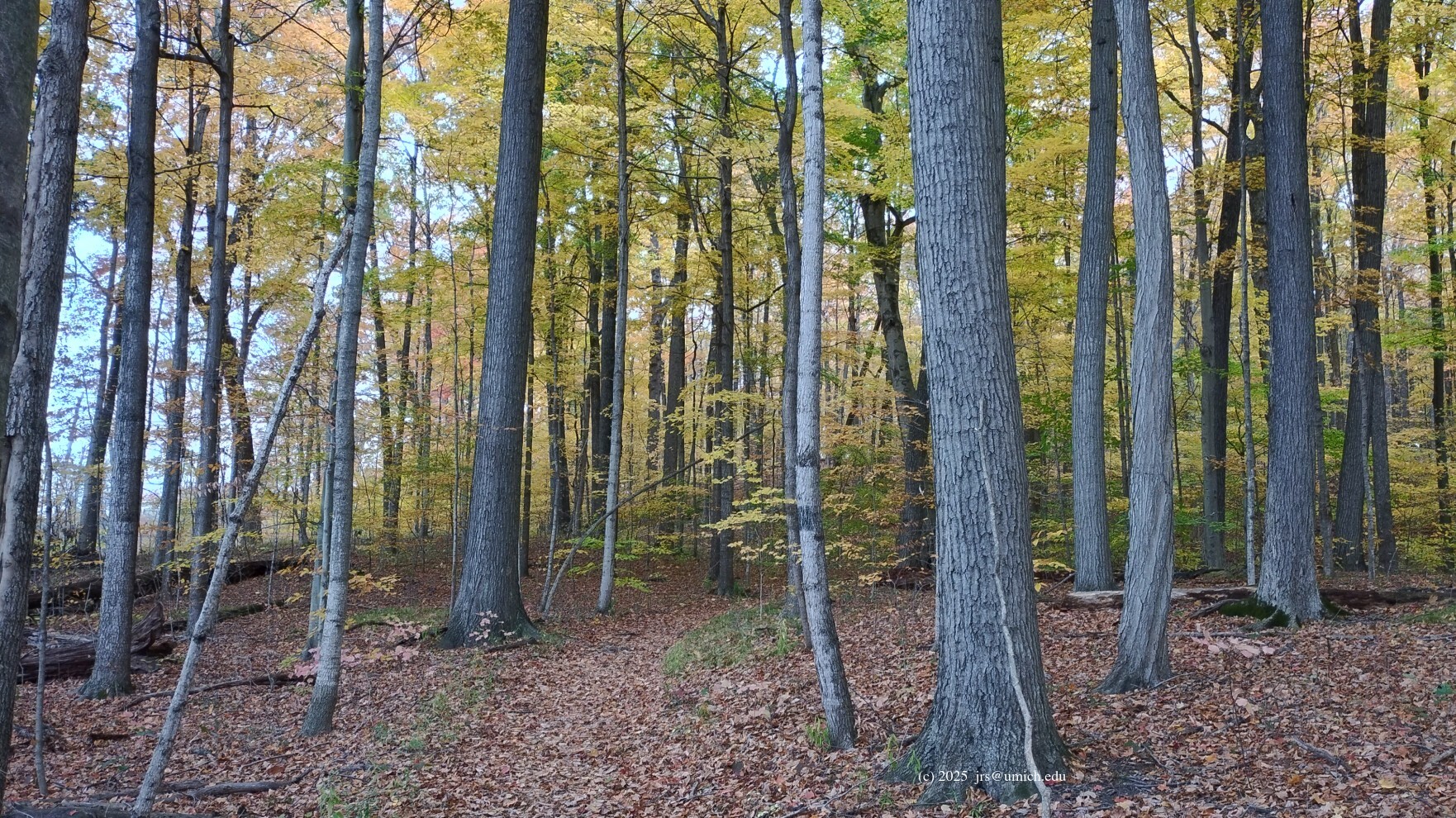
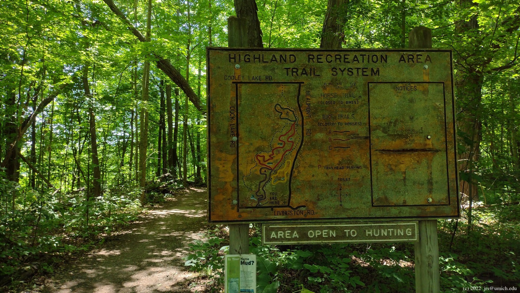
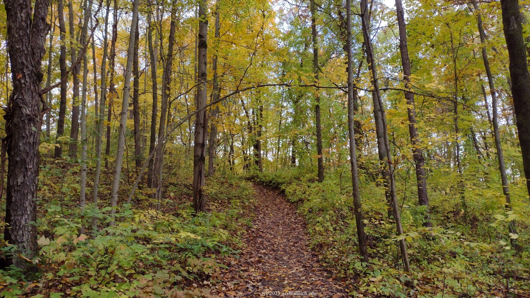
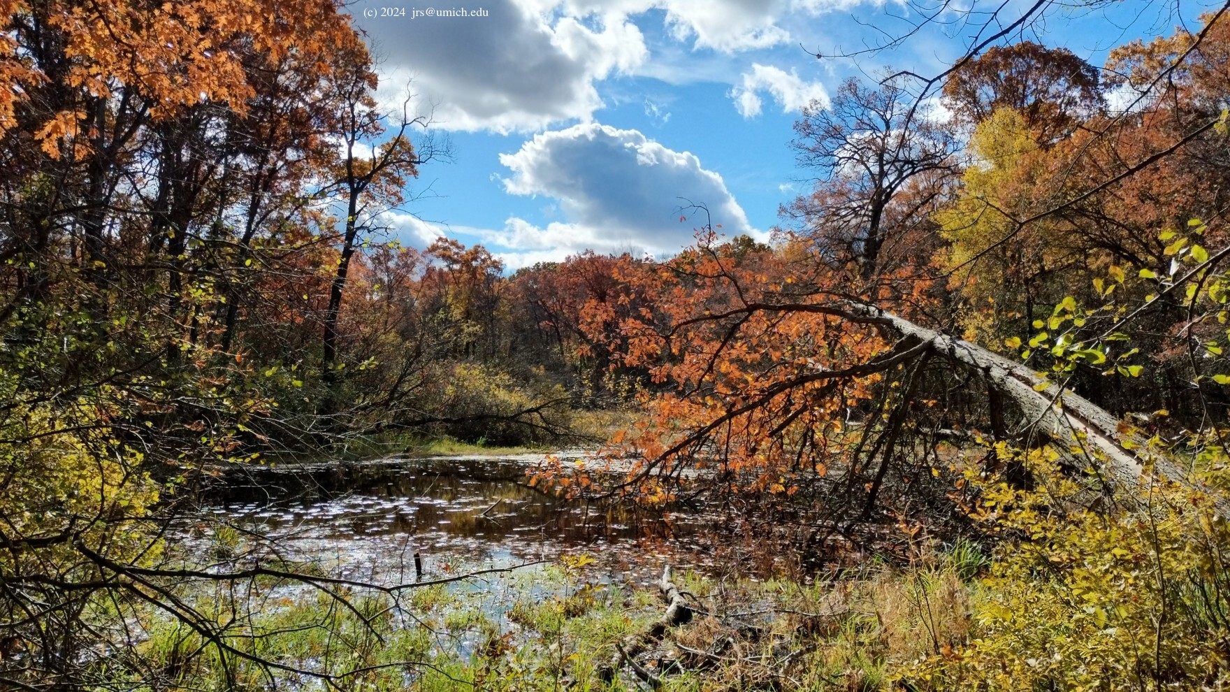
The Highland Recreation Area has trails for mountain bikers, cross-country skiers, equestrians, and hikers. While trails and parking areas are scattered throughout the park, for your first hiking experience at Highland you should head for the Haven Hill Natural Area in the northeast quadrant, where there are trails designed specifically for hikers and skiers within a no-hunting zone. The terrain there consists mostly of gently rolling hills through woods and wetlands surrounding Haven Hill Lake. However, Haven Hill itself is not so gentle, rising 140 feet above the level of the lake. The paths to the top of the hill are rather steep.
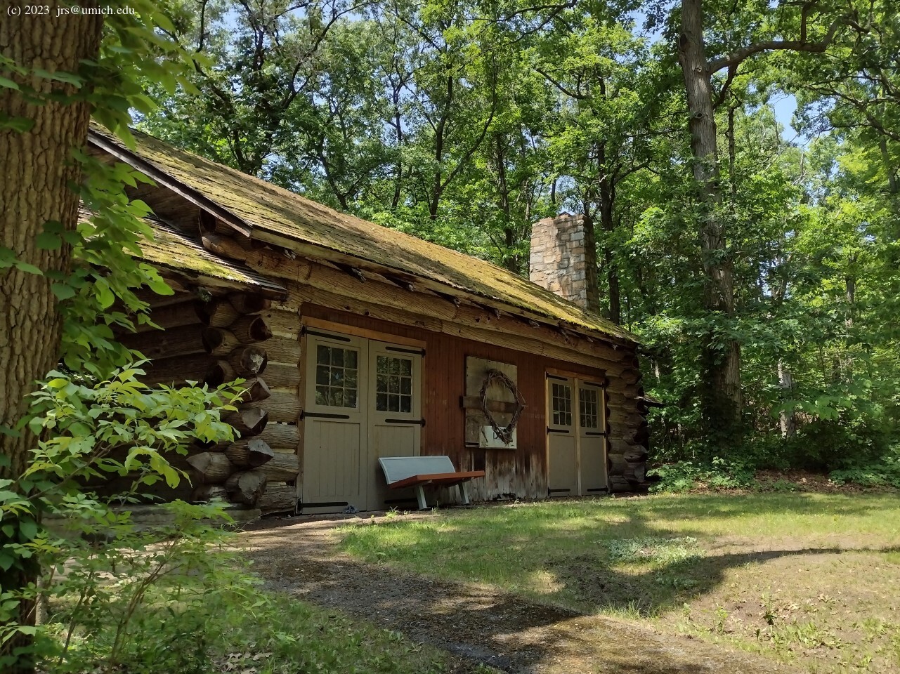
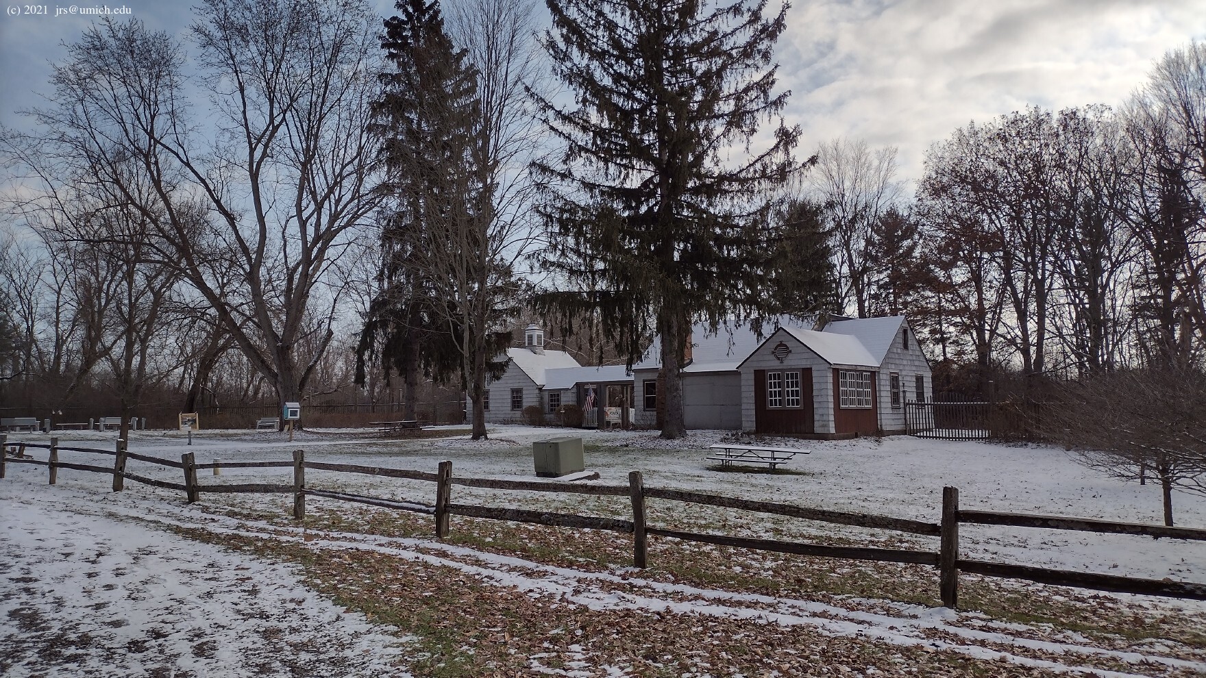
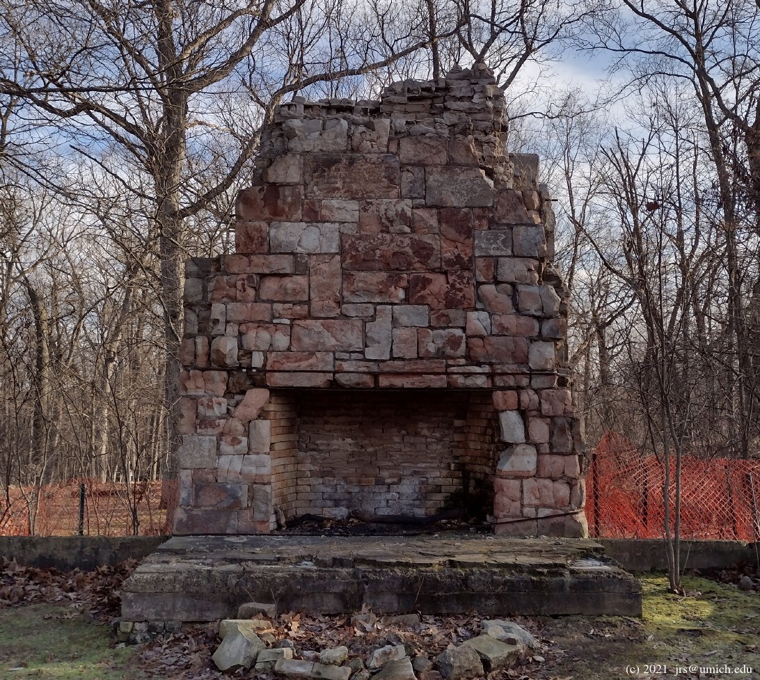
Prior to acquisition by the state in 1946, the Haven Hill area was a
private retreat owned by Edsel Ford.
A few buildings from the Ford era remain, although the family lodge,
situated at the top of Haven Hill, was burned down by vandals in 1999.
(Only the
fireplace  remains.) The nearby
carriage house
is still standing although in disrepair. The
gatehouse ,
near the park entrance and headquarters off of M-59, has been restored,
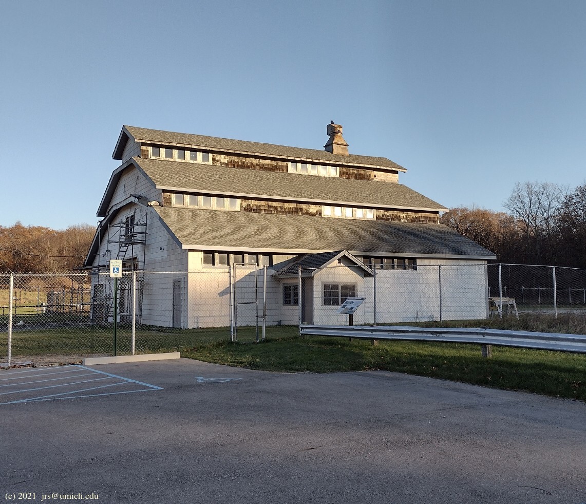
while the
barn ,
located near one of the trailheads, is currently undergoing restoration.
For more on this history, see the
Friends of Highland Recreation Area website .
remains.) The nearby
carriage house
is still standing although in disrepair. The
gatehouse ,
near the park entrance and headquarters off of M-59, has been restored,
while the
barn ,
located near one of the trailheads, is currently undergoing restoration.
For more on this history, see the
Friends of Highland Recreation Area website .
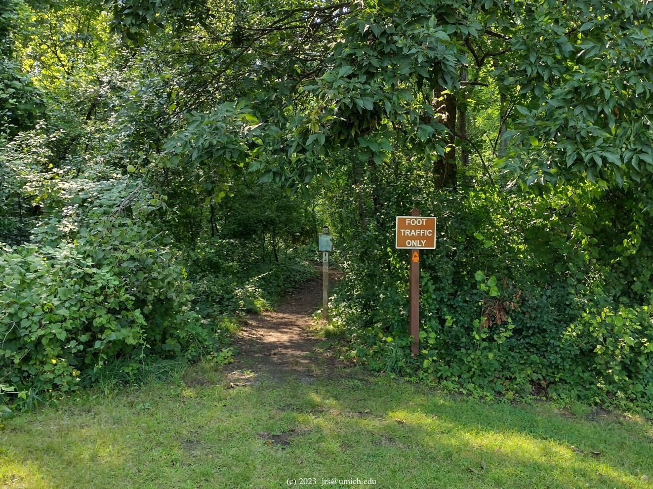
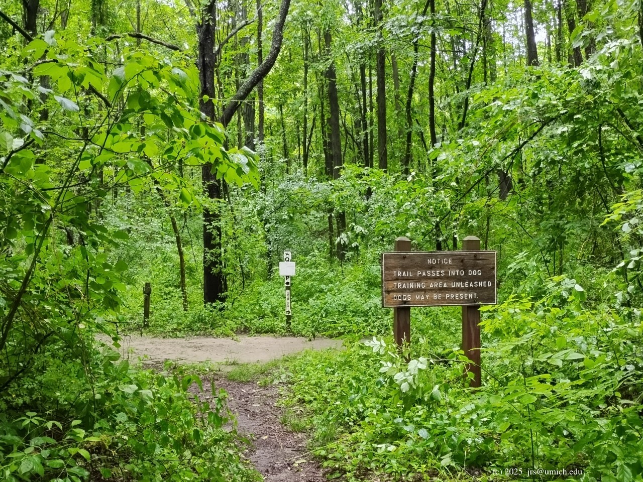
While all of the above trails are open to hikers and skiers
(and leashed dogs), there are some additional hiking trails
in the area that are probably not suitable for skiing.
This includes some trail segments north of Haven Hill Lake,
and a section of the Chief Pontiac Trail that heads west from
Marker 28 ,
crosses the Red Trail, and eventually joins the Blue Trail near Marker 10.
Note that although the above trails are in a no-hunting zone, the trail segments connecting Markers 8, 9, 10 and 11 on the Blue and Green Trails are on the boundary of that zone.
Within this area, bikes are allowed only on the Cedar Creek Trail.
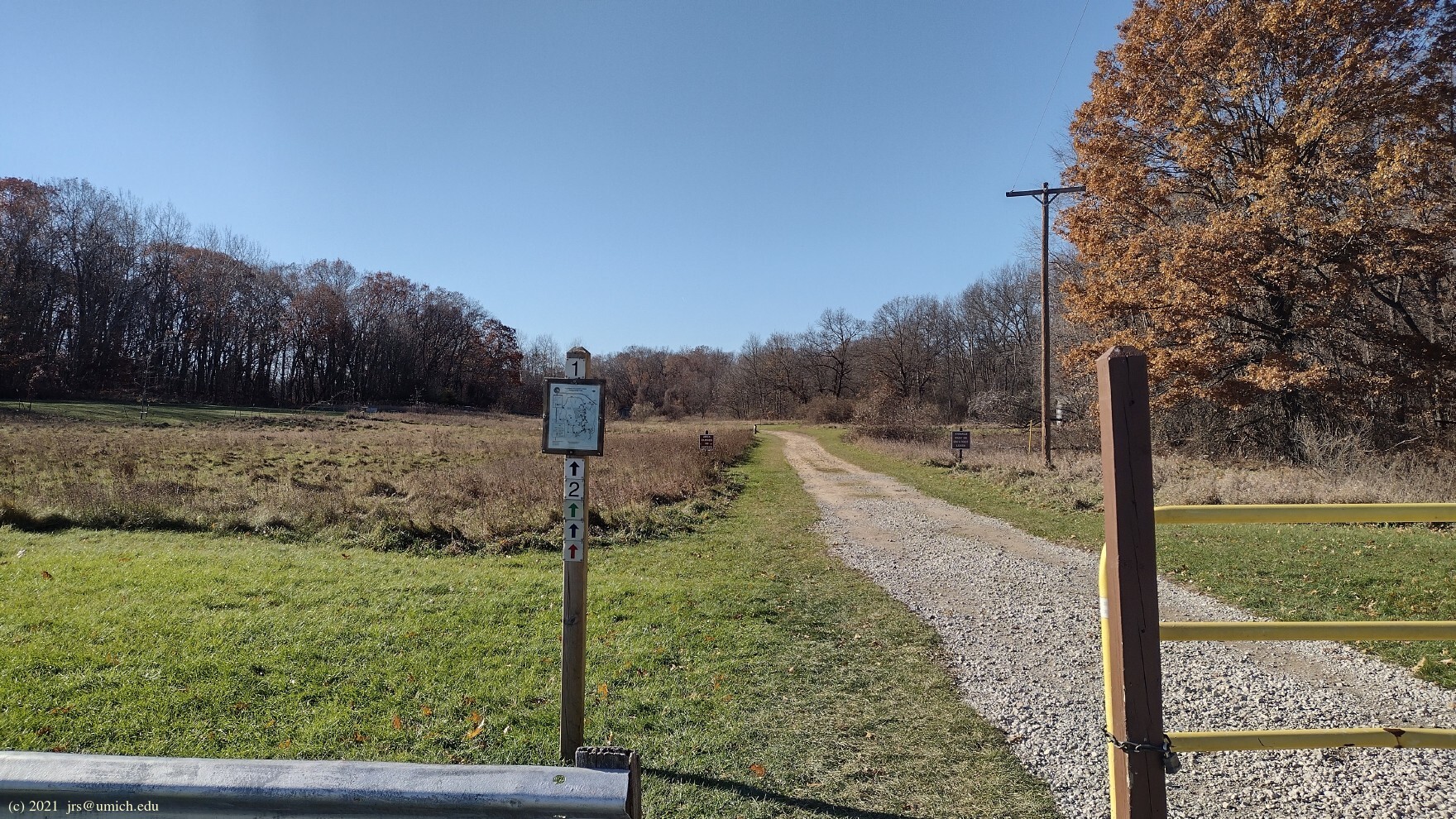
The trailhead for the Red, Blue, and Green Trails is located
about 1.4 miles south along the access road from the park entrance.
You'll know you've arrived at the right parking lot if you see
Edsel Ford's
barn .
Trail Marker 1
is located a short distance to the west of it. All three loops run
clockwise from there, and the trail markers are oriented for the
convenience of hikers and skiers moving in that direction.
Two flaws in these loops from a hiker's perspective are that none of them take you to the top of Haven Hill, nor do they give you a full measure of Haven Hill Lake. However by splicing in some of the other trails in the area, it is possible to devise a loop of one's own that addresses both of these shortcomings.
The simplest way to get to the top of Haven Hill is to head for Marker 5
on the Red Trail. Once there, follow the driveway leading uphill
to Marker 7, the
carriage house ,
and the ruins of the lodge at the top.
If you would rather use a trail instead of a driveway to ascend
Haven Hill, look for a path next to Marker F just a few paces away
from Marker 5 on the north side of the driveway. It runs west and north
from there for about 1/2 mile before arriving at a fork in the trail at
the foot of Haven Hill. At this point, take the left (southbound) branch
for a steep climb to the top. (An online map of the route is available on
MapPedometer .)
To follow this route in reverse, head for the highest point on the hill
(capped
by a
geodetic survey mark )
and continue north from there. Once you reach the fork in the trail at
foot of the hill, you may prefer to turn left at this point and follow
the westbound branch -- it joins the Blue Trail between Markers 10 and 12.
Another option for a (steep) descent from the hill is a path leading west
near what remains of a stone balcony for the lodge's master bedroom.
This route also joins the Blue Trail between Markers 10 and 12.
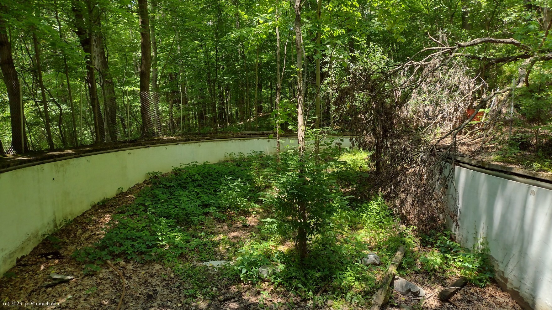
On your way down, on your left, you may spot what must be the remains of
the Ford family
swimming pool .
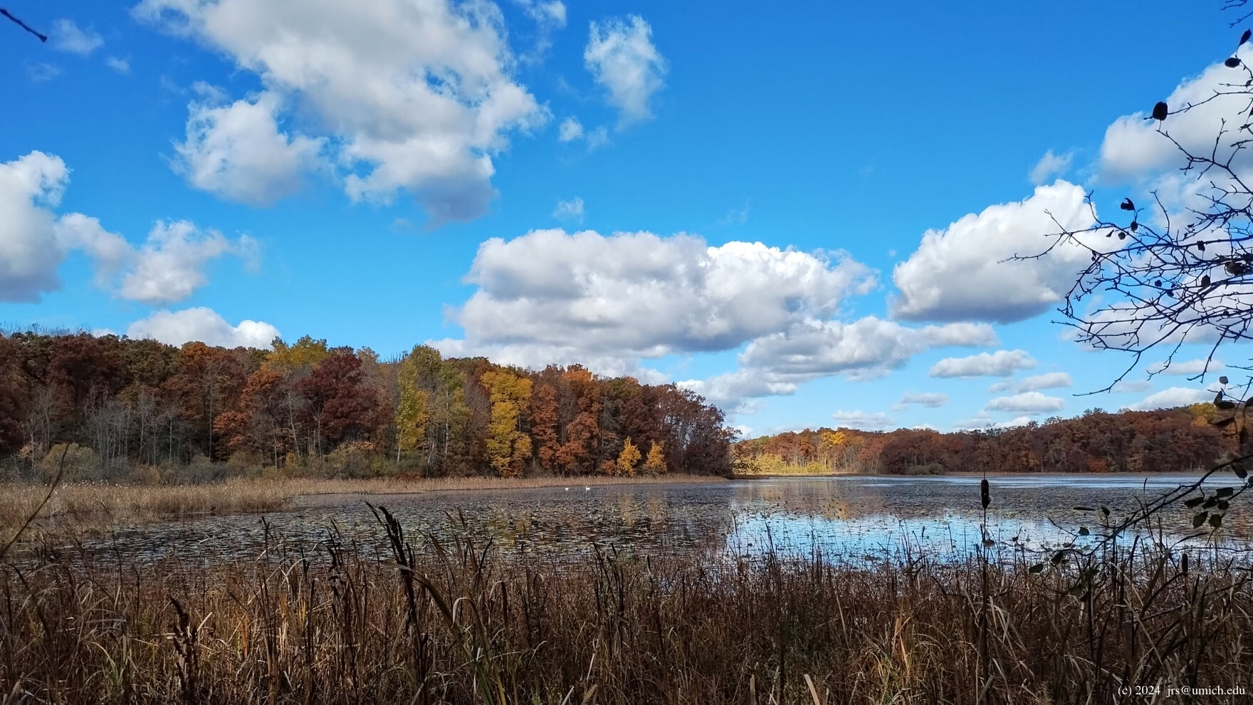
Incorporating a few good views of Haven Hill Lake is easy -- your best
bet is to include trail segments running from Markers 16 to 17 to 19.
These are reachable from the Blue and Green Trails but are not part
of either one. If the vegetation cooperates, you may also get a
good look
at the lake from the Red Trail in the area north of Marker 5.
New!
I've saved a
GPX route map
[What's this?]
for a 6.2 mile loop that includes these lake and hill detours.
An online map for a similar route is available at
MapPedometer
-- this version uses the driveway to ascend Haven Hill
and a foot path for the descent.
Note that there are other possible entry points into the Haven Hill
trail network. For example, the
Goose Meadow Picnic Area
(where Marker 22 is located) has two advantages as a staging area.
One is that it is a shorter drive to Goose Meadow than it is to drive
to the trailhead at Marker 1. A second is that it provides easy access
to Haven Hill Lake, including a 1/4 mile path along the shore.
From Goose Meadow, you can reach the Blue and Green Trails by heading
either north from Marker 22 to Marker 18, or east along the picnic area
entryway. You can join the Red Trail by making your way west and south
towards Marker 5.
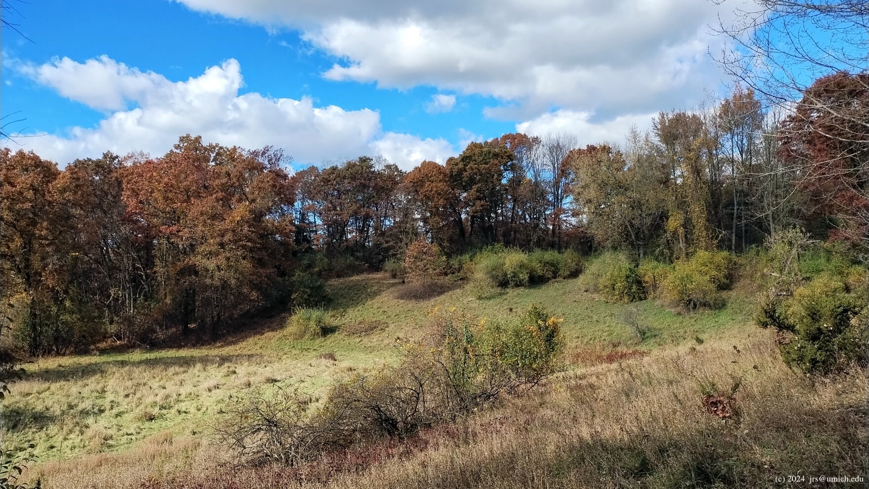
On the west side of Duck Lake Road is a network of equestrian and mountain bike trails. While both sets of trails are open to hikers, the bike trails have numerous sharp turns and technical obstacles. This may appeal to trail runners, but many hikers will prefer the less twisty equestrian trails. They too provide a full mix of ponds, wetlands and stream crossings, as well as a substantial dose of hill climbing. The elevation difference between the highest and lowest points on the trail is 170 feet.
Do keep in mind that horses have the right of way on trails, and that the area west of Duck Lake Road is open to hunting.
A convenient entry point into the trail network is available from a
parking lot
on Livingston Road, about 0.2 miles west of Duck Lake Road.
There you will find a
trailhead
for the mountain bikers as well as a waypoint for the
equestrians (Marker T).
If you follow the equestrian trail from there
south through Markers S, R and Q, returning via P, O, N and M,
the result is a beautiful 4.4 mile loop.
For hikers and equestrians, another entry point is provided by a trail
that runs from the Haven Hill Area through a
tunnel
underneath Duck Lake Road, joining the main equestrian loop at Marker M.
To reach this trail, head for Marker 11 on the Green Trail.
A short distance to the west beyond Marker 11 is the start
of the tunnel route from Marker L to Marker M.
I've saved a GPX route map [What's this?] for three round-trip hikes that all feature the Western Equestrian Loop. The first of these is a no-frills 4.4 mile route starting from the Livingston Road parking lot.
The second is a 7 mile route starting from
Marker 28
near the Circle Lot on the east side.
From there, it follows the Chief Pontiac
Trail west for about 0.7 miles to an abrupt end at a
swamp-like pond
on the Blue Trail. A few paces away to your left is Marker 10 and a
Green Trail segment that leads to Marker 11, the tunnel, and the
equestrian loop. On the return to Marker 28 it follows a slightly
different route. After passing back through the tunnel, it
uses Blue Trail segments from Markers 10 to 9 to 4 before
switching over to the CPT for the finish.
An online version for a similar route is available online at
MapPedometer .
The crossroads at
Marker Q
on the equestrian loop present some options.
Assuming you are hiking counterclockwise,
the loop turns left (east) there on the way to Marker P.
Straight ahead (south) is a spur trail that passes through Markers W, X,
Y, and Z, ending at a picnic shelter and parking lot on Cooley Lake Road.
Note that this spur is in an area designated for
field trials .
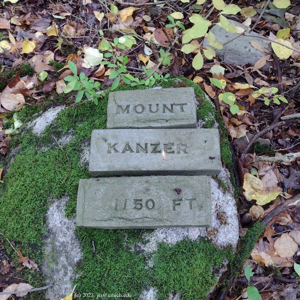
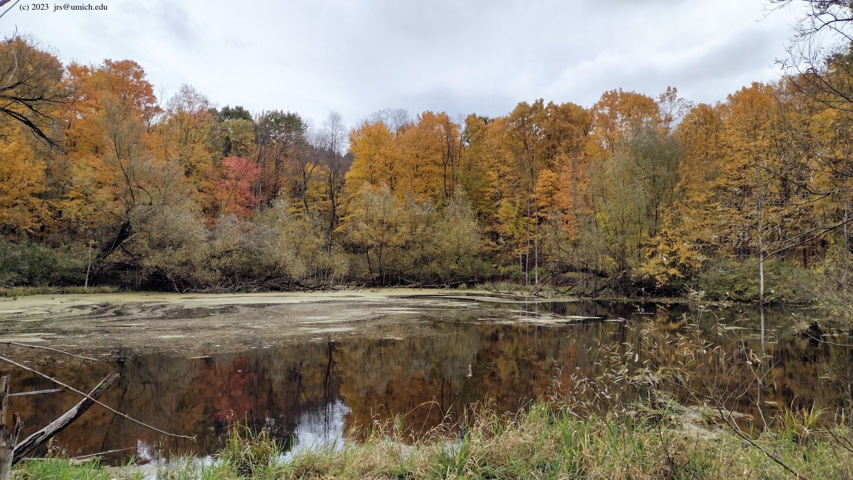
The right branch heading west from Marker Q exits the equestrian trail network and field trial area, crosses Beaumont Road, and feeds into a small network of relatively new mixed-use hike/bike trails. These trails are shown on the OpenStreetMap, but not the DNR trail maps. Shortly after crossing Beaumont, the trail forks: the right (northwest) branch passes over Mount Kanzer (elevation 1150 feet), while the left branch splits into two southbound trails headed towards Cooley Lake Road and the village of Milford. In between these two southbound connecting trails is a deep ravine surrounding a large pond and marsh area.
The third GPX route on the
above map
is a 7.3 mile hike that takes the westbound exit from Marker Q
for a side trip to the top of Mount Kanzer, then crosses
Pettibone Lake Road before turning south to Reid Road. The final
segments run east and north around the
ravine
before returning to Marker Q and the equestrian loop.
Highlights include several
ponds
and good views of the ravine
from the south and east sides. Although the dense woods covering
Mount Kanzer obstruct the views there, you may want to hunt for the
stone markers
in the vicinity of the summit, offset about 30 feet from the trail.
A shorter version of this hike is also available online at
MapPedometer .
After climbing to the top of Mount Kanzer, this 6.4 mile route
backtracks to the southbound trail on the east side of the ravine,
then crosses over to the equestrian trail between Markers X and Y
for a northbound return through the field trial area to Marker Q.
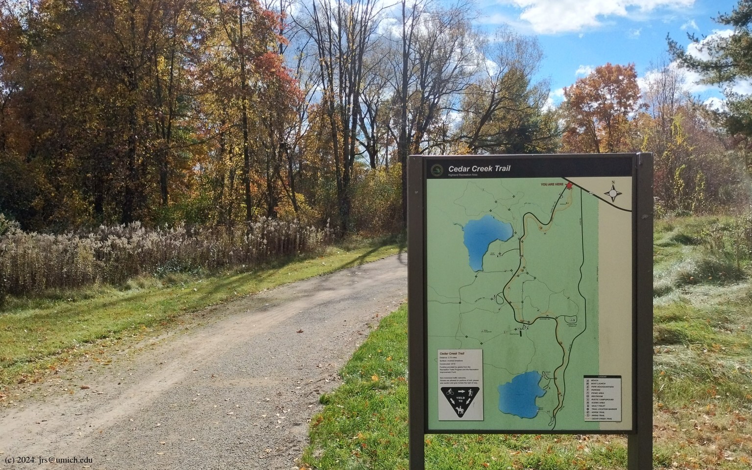
Near the park entrance and the Edsel Ford gatehouse is the
trailhead
for the 2.75 mile Cedar Creek Trail,
a multi-use pathway with a surface of crushed limestone.
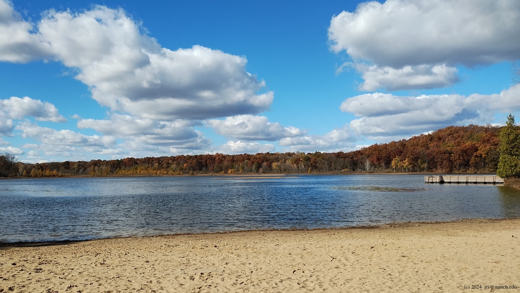
It passes through woods, marshes and wetland areas, and ends near a
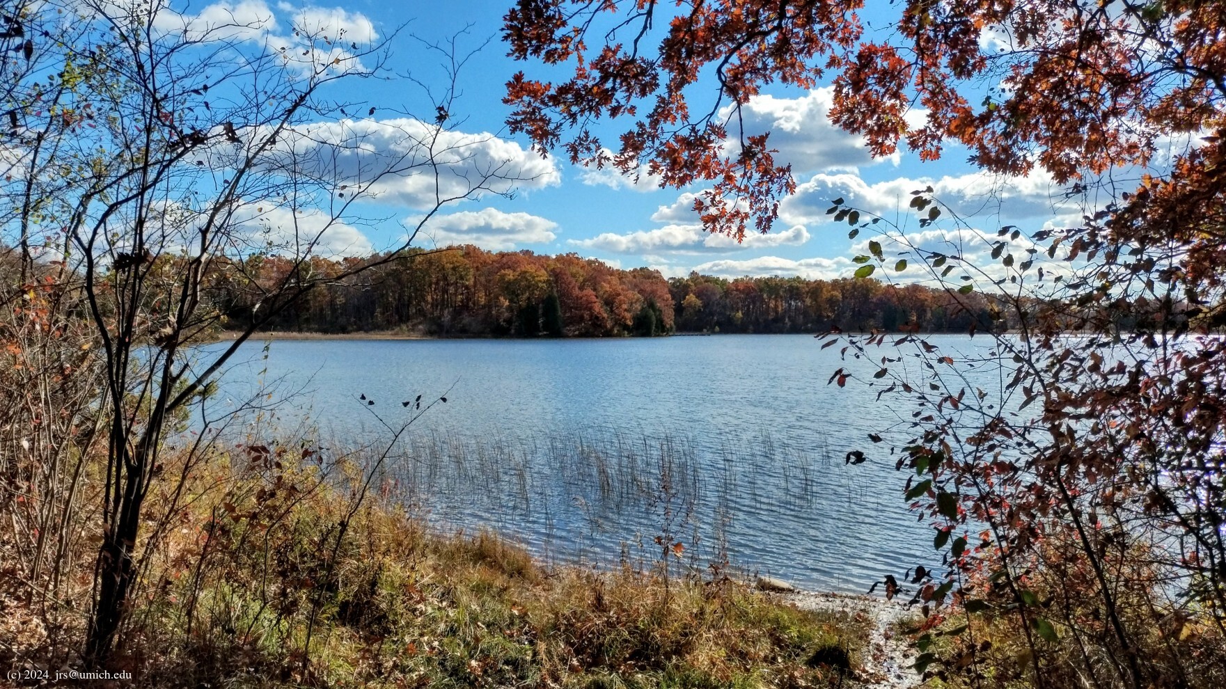
beach at Teeple Lake .
Hikers, bikers, and skiers are all allowed on the trail, and portions
of it are open to equestrians as well.
Roughly one mile outbound from the trailhead, you will arrive at a fork
in the trail (Marker 25). Although the Cedar Creek Trail follows the
right branch, you may prefer to take the left branch -- a segment of the
Green Trail that rejoins Cedar Creek near Marker 32. The reward for this
choice is passage through a quiet and beautiful
glen
north of Marker 31.
Since Teeple Lake is not visible from the Cedar Creek Trail, you will
probably want to cross the parking lot and head for the beach once you
reach the end of the trail at Marker 35. From there it is possible to
return by following a
shoreline path
that heads north past a fishing pier and a boat launch,
eventually reaching a picnic area with lake views but no lake access.
Directly across from the entrance to the parking lot for the picnic
area is Marker 34 on the Cedar Creek Trail.
I've saved a GPX route map [What's this?] for the Cedar Creek Trail as well as two loops that use the southern half of it as a foundation for exploring the Teeple Lake area, including some nearby hills and wetlands.
I've configured both loops to start near Marker 1 and the Edsel Ford barn. If instead you intend to follow one of these loops by hiking in from the head of the Cedar Creek Trail (Marker 21) to the first point of contact, it will add about a mile each way to your hike.
The first loop is a 4.6 mile route that immediately crosses the access
road to Marker 32 and the Cedar Creek Trail. It proceeds south from
there to Marker 35, the Teeple Lake beach, and north along the shoreline
to the picnic area near Marker 34. At this point, it follows a
path leading northwest
from the picnic area parking lot to the Eastern Equestrian Loop.
Turning left onto the equestrian loop, the trail takes you west along the
northern shore
of Teeple Lake and through some
dense woods .
At Marker C, the equestrian loop makes a sharp turn to the northeast
and eventually crosses the Green Trail between Markers 3 and 8.
However, the route I've mapped continues west a short distance beyond
Marker C to a northbound trail that joins the Green Trail at Marker 8
and continues north to Marker 9 and a long boardwalk through a marsh area.
It turns east from there, switches over to the Red Trail at Marker 4,
and crosses the Cedar Creek Trail at Marker 26 in order to finish
with a southbound passage through the previously mentioned
glen
near Marker 31.
The second loop is a 4.2 mile route that proceeds west from Marker 1, as you would if you were hiking the Red (or Blue or Green) Trail. However, this route breaks off to the south almost immediately in order to burn a few extra calories and explore a series of steep hills north of Teeple Lake. The highest of these is Teeple Hill, whose summit sits 150 feet above the lake. The hills may also be approached via some rough paths leading north from the equestrian loop; however, these paths are hard to follow and may be virtually invisible except during the winter.
The route descends from Teeple Hill and rejoins the Red Trail through Markers 2, 3, and 4, where it switches over to the Chief Pontiac Trail eastbound to Marker 28 and the Circle Lot. Continuing a short distance across the main access road, it follows the Cedar Creek Trail north to Marker 26. From there, it re-uses segments from the first loop: east to Marker 30, south along the Green Trail through the glen to Marker 32, switching back to Cedar Creek to Marker 35, followed by the beach and the shoreline path north. After reaching the Eastern Equestrian Loop, it turns right/north (the first loop turned left), passing through dense woods on the way back to Marker 1.
A 3.8 mile loop with a slightly different mix of
features is available online at
MapPedometer .
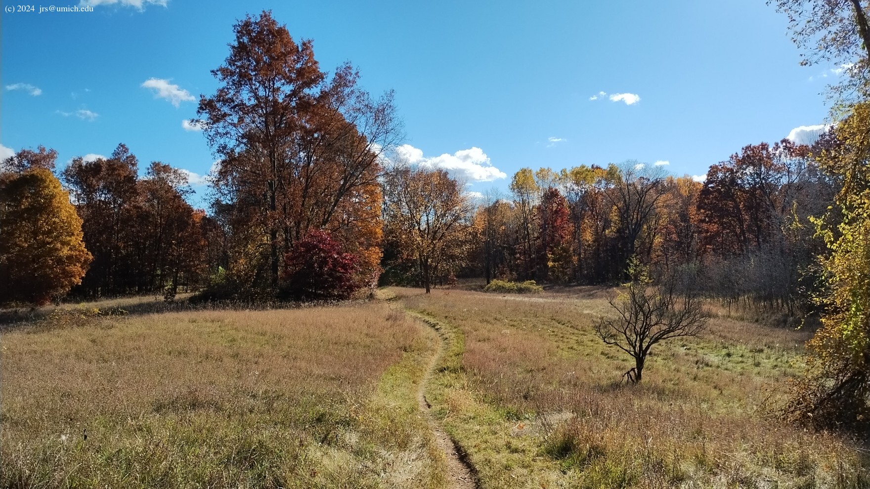
On the west side of the parking lot for the mountain bike trails on
Livingston Road is an entry point for the North Loop, an easy going
and well-maintained 2.3 mile hiking/biking trail that winds its way
through a mix of woods and open fields dotted with trees.
Hikers will appreciate that it lacks the
tight turns and technical obstacles of the mountain bike trails
located south of the parking lot. Note that the trail is shown on the
OpenStreetMap
but not on any of the Michigan DNR trail maps.
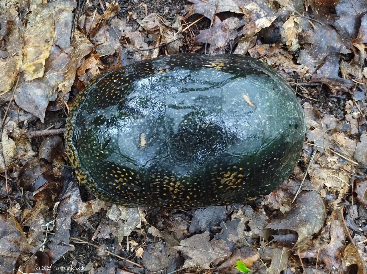
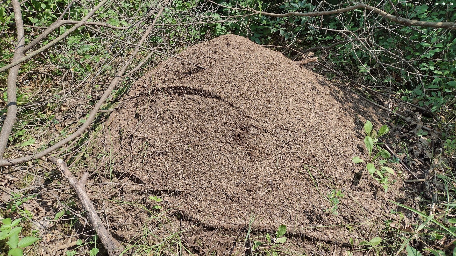
On more than one occasion, I have noticed some unusually large and
active anthills
along this trail. And once, a
Blanding's turtle .
At about the halfway point of the loop you may want to look for a short
spur trail that leads northwest to a close-up view of
Waterbury Lake .
Another spur nearby is located farther south of the lake; it runs
west and branches out to multiple parking areas and a field trial area
south of Livingston Road. After recent updates, both spurs are now
visible on the OpenStreetMap.
A map following a similar route is also available online at
MapPedometer .
Take US-23 north to eastbound M-59/Highland Road (Exit 67). Continue east on M-59 for about 11 miles and turn right (south) into the park at Haven Road. Near the entrance, you will find the park headquarters, the Edsel Ford gatehouse, and the start of the Cedar Creek Trail (Marker 21). Continuing south on Haven Road, you will reach the Goose Meadow Picnic Area and Marker 22 after 0.8 miles, the Circle Lot (parking for the Chief Pontiac Trail and Marker 28) after 1.2 miles, and the Edsel Ford barn and the origin of the Red, Blue, and Green Trails after 1.4 miles.
If you are headed for the multi-use trails on the west side, travel east on M-59 from US-23 for 9.25 miles, turning right (south) onto Duck Lake Road. Continue south for 1 mile, turning right (west) onto Livingston Road. The parking lot will be on your right after about 0.2 miles.
Driving time from North Main in Ann Arbor is about 35-40 minutes, depending on US-23 traffic.
A Michigan
recreation passport
is required for vehicle entry.
Highland Recreation Area offers 5,900 acres of forest, marshes and lakes in the rolling hills of Southern Michigan. With trails to accommodate equestrian riders, mountain bikers, hikers and skiers, there's an activity for every season in this park. Three different day-use areas provide ample space for picnics, swimming, horseshoes or volleyball. Access sites are located on four lakes within the park for fishing and recreational boating.
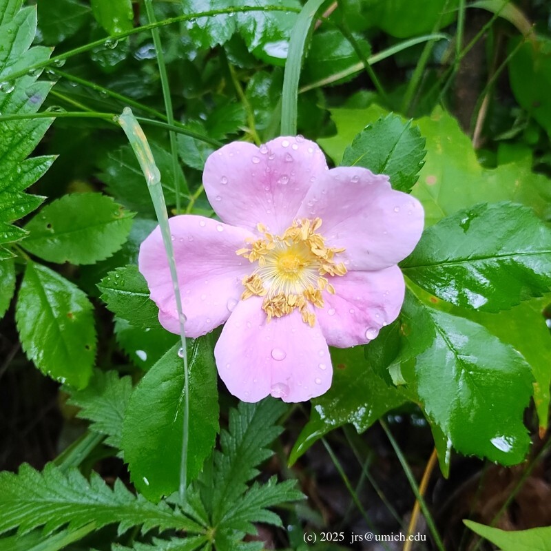
The Haven Hill Natural Area has all of southern Michigan's principal forest types within one small area, including swamp forest of tamarack, cedar, beech-maple forest, oak-hickory forest and mixed hardwood forest. The area has remained largely undisturbed for the past 75 years and has retained its natural character as well as some unusual flora and fauna.... Late April and early May are the best times to view warblers and spring wildflowers.
The [equestrian trails offer] 13 miles of paths that meander through breathtaking woods, fields and marshes....The east loop is relatively flat with wider trails. The west loop, located on the other side of Duck Lake Road, provides a more challenging ride with single track and hilly terrain. There are a few areas on the west loop where bike trails intersect.