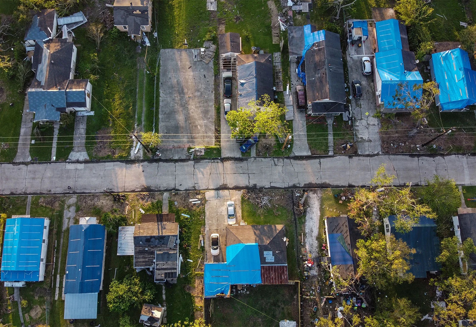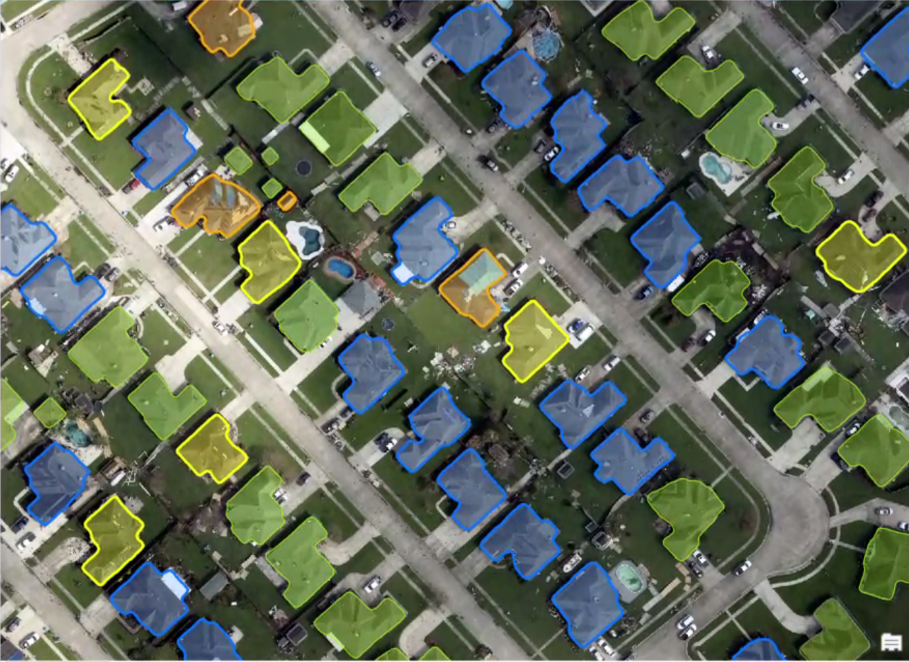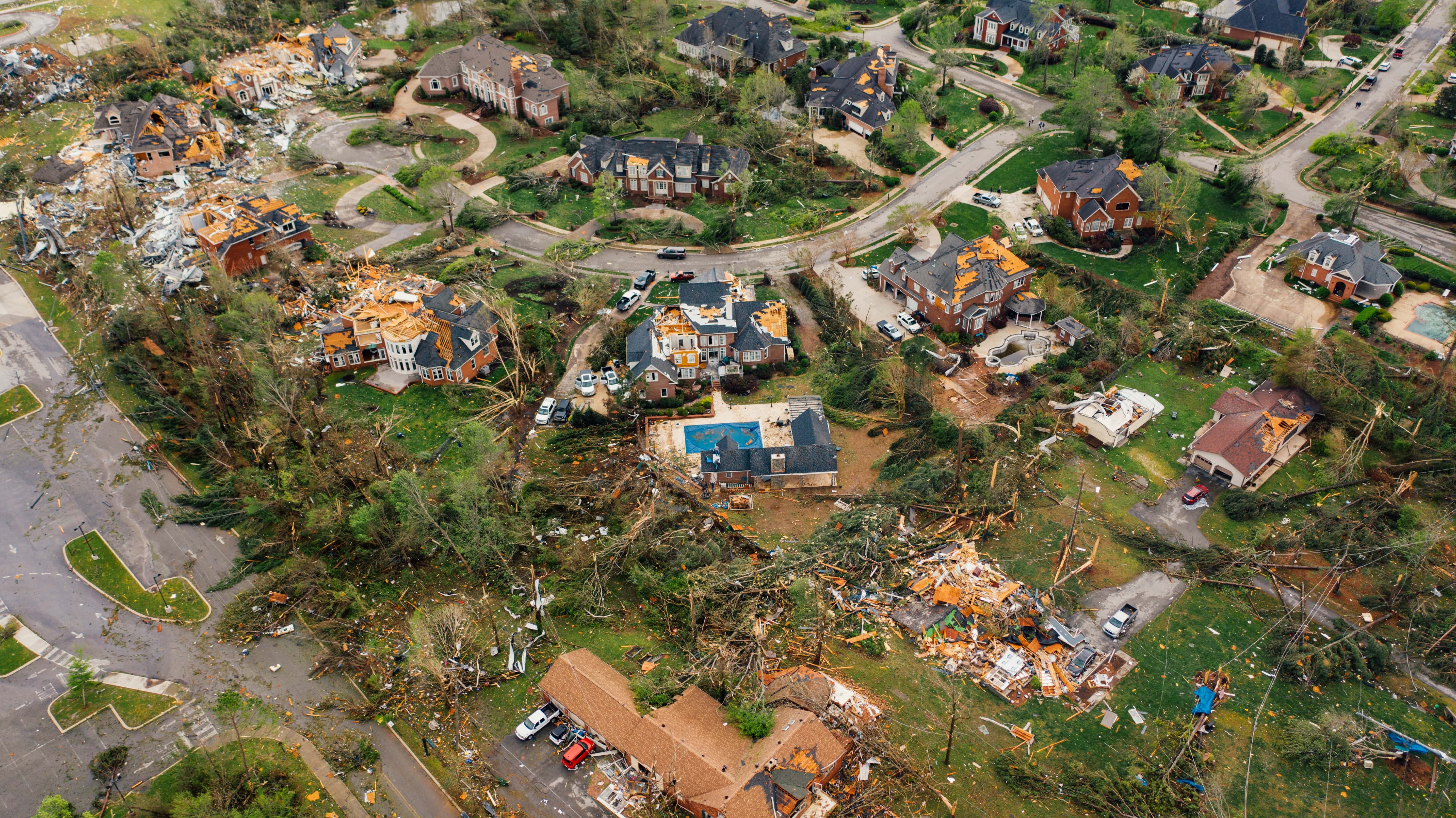
Aerial Image Damage Assessment
Use of aerial imagery in damage assessment has been implemented by FEMA and emergency responders in the recovery process. Assessments help users better understand where damage is located and how to prioritize it. However, analysis of aerial imagery has largely remained manual being done by hand. Though, recent technological advancements have created an automated deep learning assisted approach to process damage analysis at an unparalleled speed. Utilizing these techniques, our team has built upon the work of the National Disaster Preparedness Training Center and introduced a multi-modal approach that uses a classification schema supported by the FEMA framework.