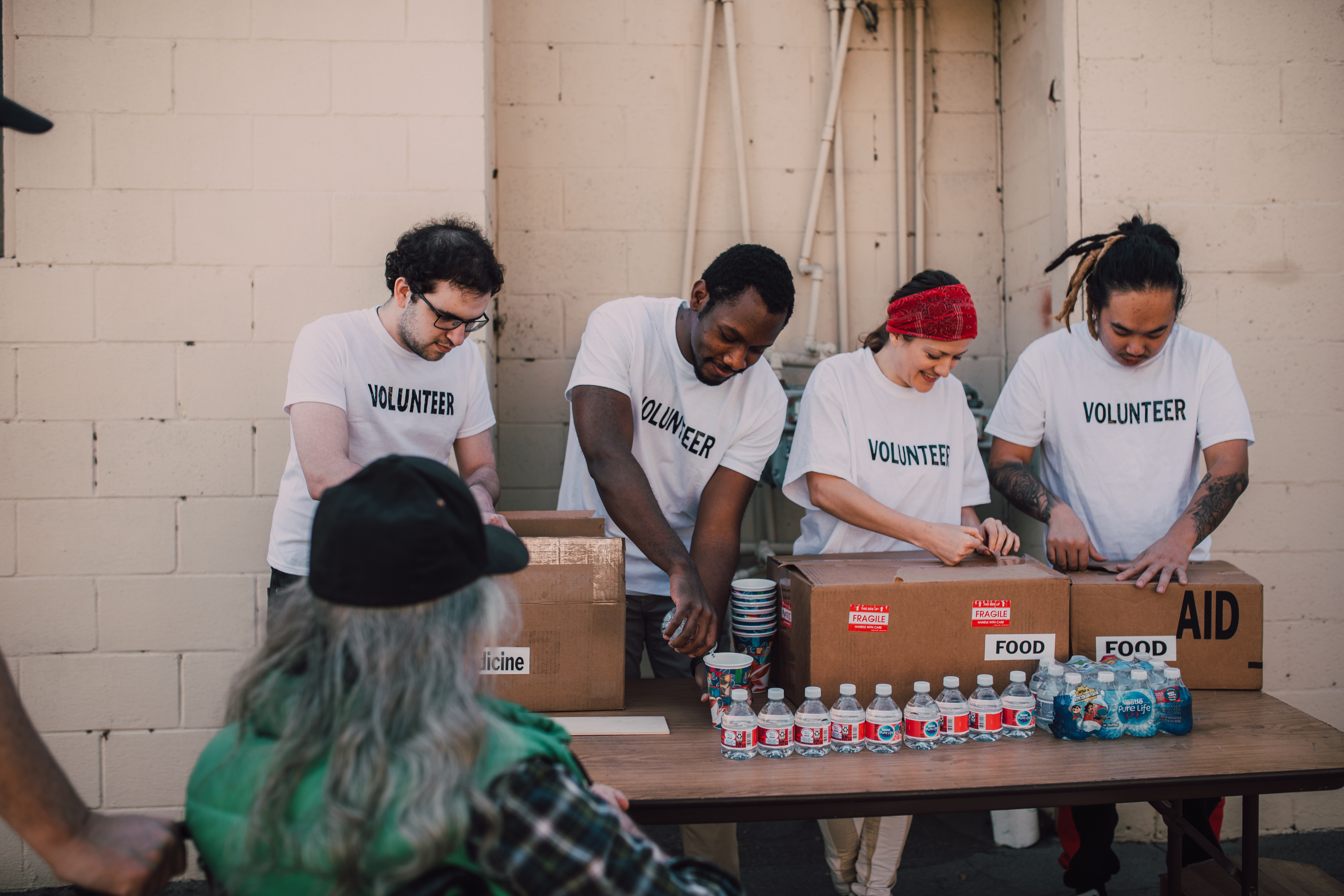
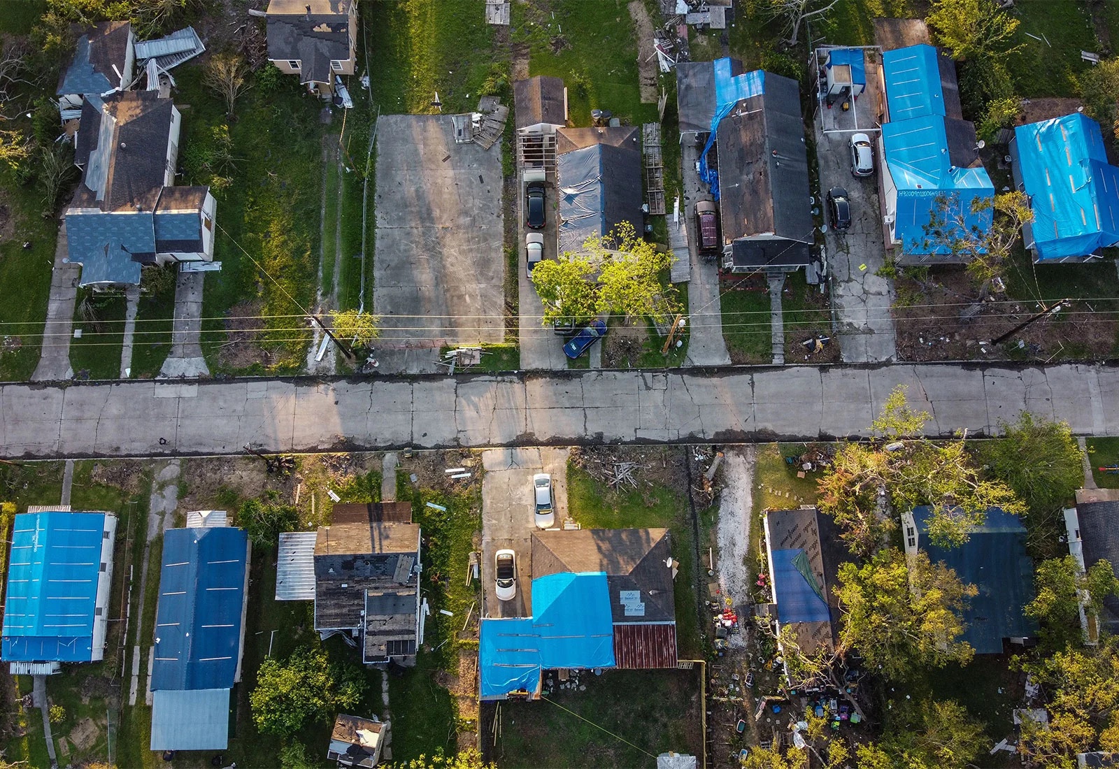
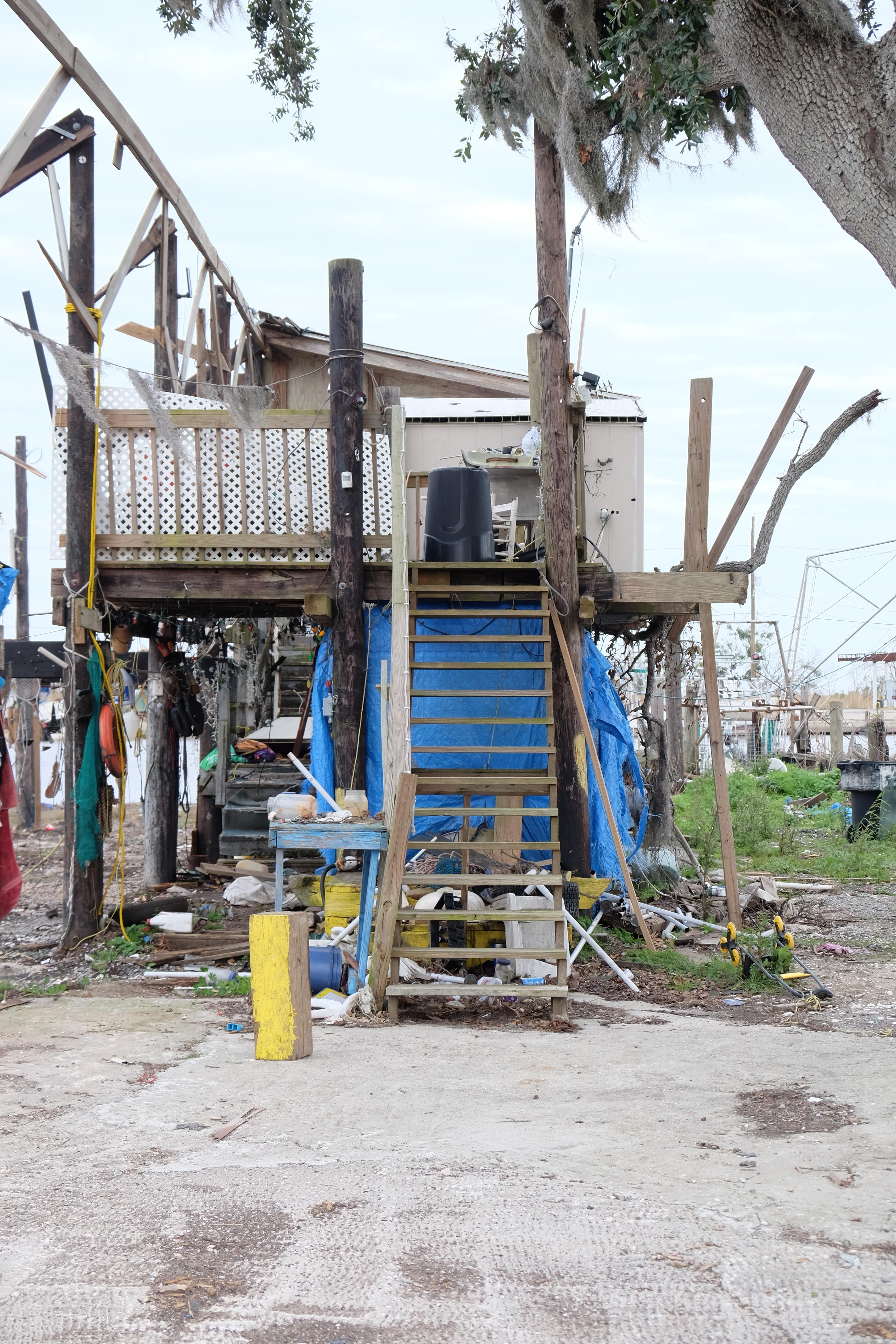
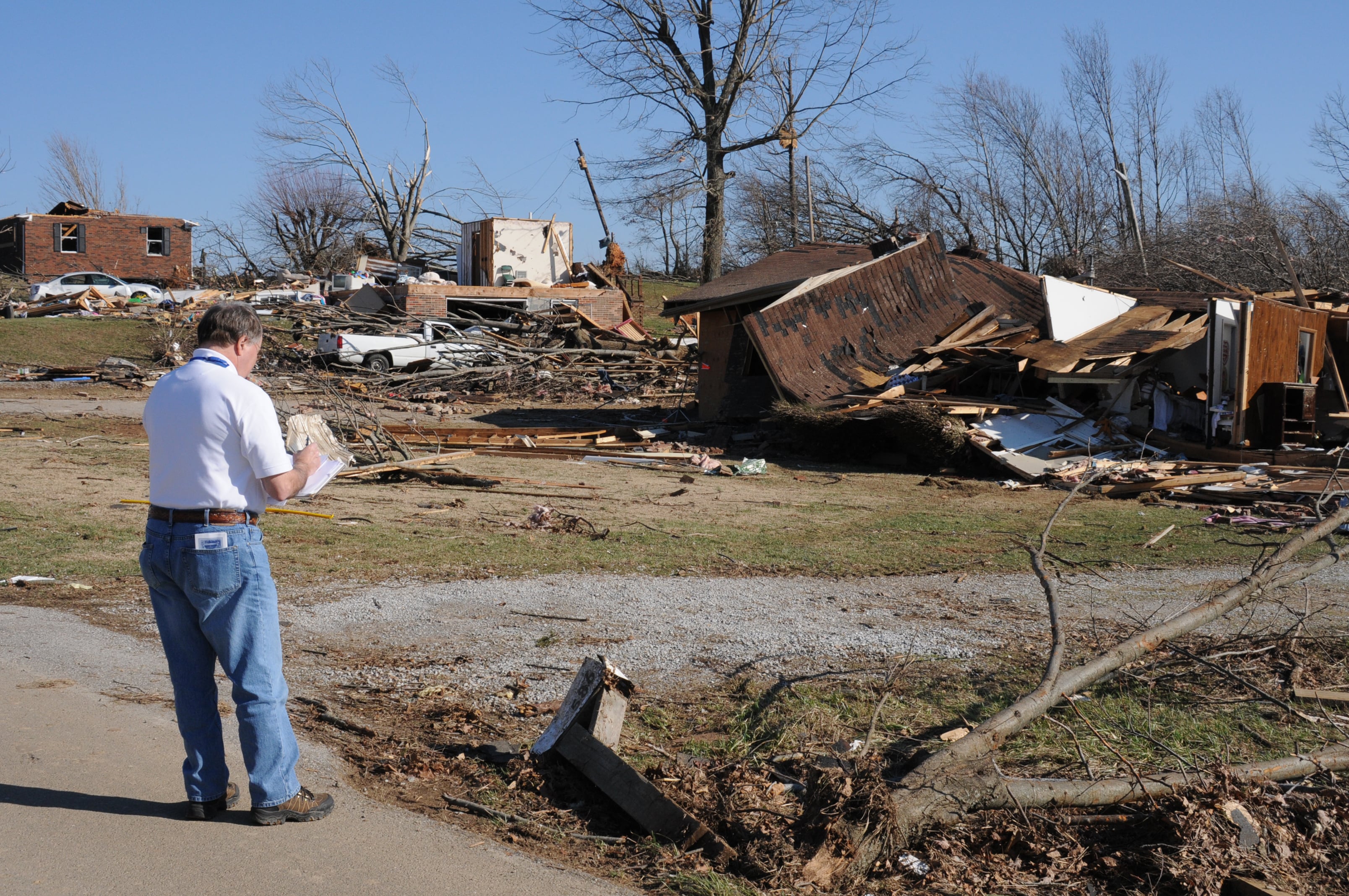
Disaster responders

Discover how to utilize decision support tools for better damage assessments and resource prioritization.

Disaster professionals have started to rely on aerial assessments immediately following disasters to better understand where damage is located and how to prioritize it. Our team explored automated, deep learning approaches to create efficient processes that offer a more nuanced understanding of damage.

About the Project

This project is a joint effort by students and faculty within the Master of Urban and Regional Planning program at the University of Michigan and the National Disaster Preparedness Training Center (NDPTC) as a Capstone project for the Winter 2022 semester. Using Hurricane Ida and the Greater New Orleans Area as a case study we worked to add technology to disaster response. We collected images of damaged homes to train a machine learning model during the visit and met with individuals like Tab Troxler, the St. Charles Parish Assessor, who hosts thousands of relevant disaster images for our project. In talking with professionals and organizations on the ground, we confirmed our goals of adding local knowledge and context to our machine learning tool.

We're classifying damage on a scale that aligns with FEMA’s Framework for greater contextualization of damage.

We created a data set and trained a model based on the FEMA Framework 0-4 scale to understand where the most significant damage is for better prioritization decisions. This also provides the potential for individuals to navigate the claims process more efficiently and for leaders to streamline emergency declaration.

Learn More

We’re using machine learning processes to rapidly gather critical information following disasters.

We are layering multiple methods, data, and processes to create more holistic damage assessments. These include leveraging deep learning approaches such as object classification, object detection, and change detection to create damage profiles at the neighborhood and urban scale.

Learn More

We're merging insights gathered through aerial imagery with local networks to maximize resource distribution.

We are incorporating social network analysis as an integral piece of our decision support tool. Once damage assessments have been gathered and prioritized, social networks can be relied on to ensure resources are being distributed efficiently and reaching those most in need.

Learn More