technologist and Researchers

Discover how planning and disaster recovery professionals can utilize machine learning tools

Disaster recovery professionals and technologists have started utilizing technology designed to identify property damage based on data inputs through a trained machine learning model. Our team seeks to incorporate equity and localization into damage assessment models and focus on transparent knowledge sharing in data collection and annotation and training a machine learning model. We hope to improve the recovery process and support future research in the field.

About the Project

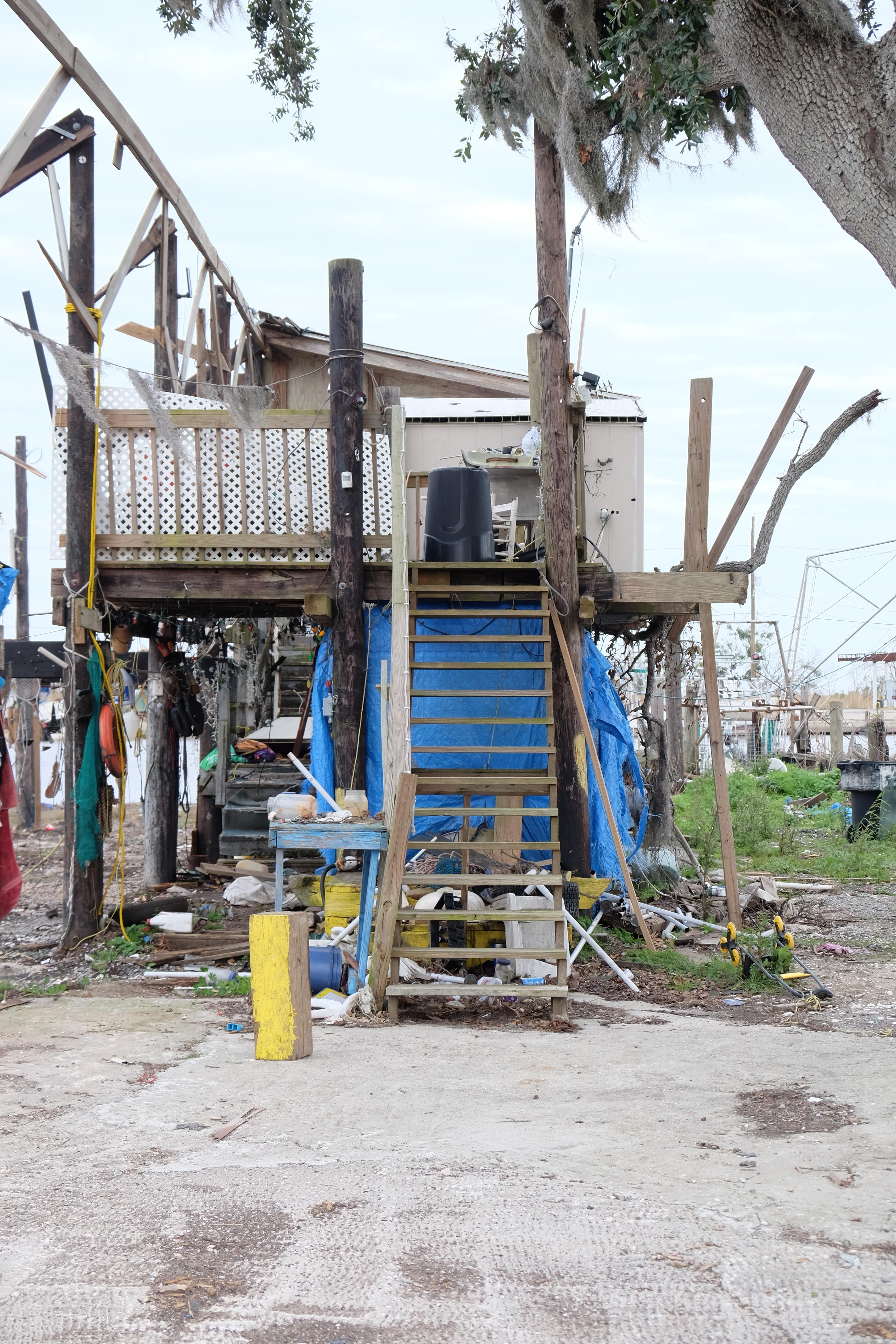
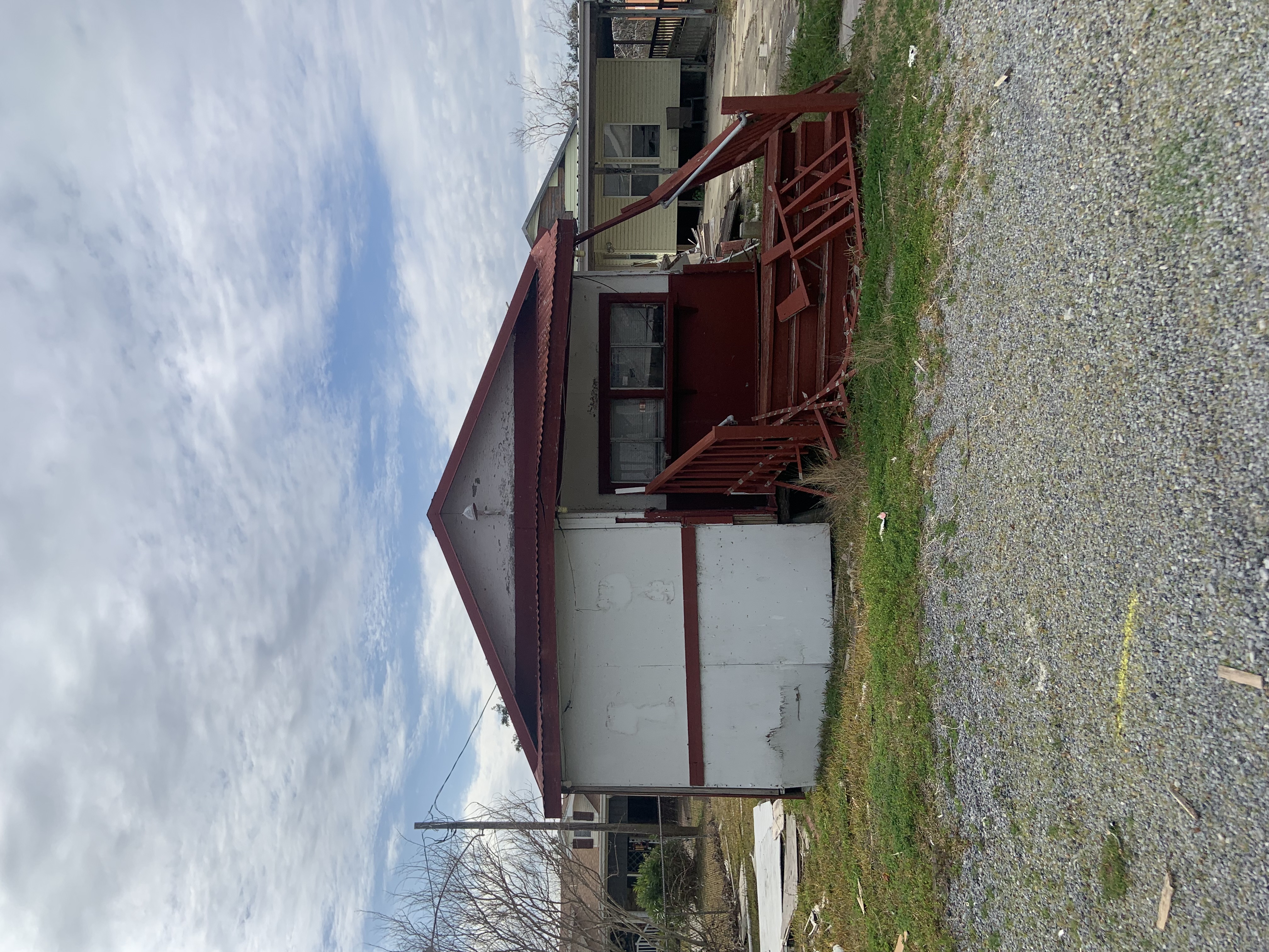
This project is a joint effort by students and faculty within the Master of Urban and Regional Planning program at the University of Michigan and the National Disaster Preparedness Training Center (NDPTC) as a Capstone project for the Winter 2022 semester. Using Hurricane Ida and the Greater New Orleans Area as a case study we worked to add technology to disaster response. We collected images of damaged homes to train a machine learning model during the visit and met with individuals like Tab Troxler, the St. Charles Parish Assessor, who hosts thousands of relevant disaster images for our project. In talking with professionals and organizations on the ground, we confirmed our goals of adding local knowledge and context to our machine learning tool.

We’re making machine learning more accessible to the planning and disaster recovery fields.

We’re sharing the resources we used and created to bridge the knowledge gap between technologists and planning and disaster recovery professionals. Through our research, we've curated datasets, and standardized annotations relative to norms and best practices in the recovery profession. We've found the development of auditing protocols enhances machine learning models in damage detection.

Learn More

We're integrating imagery and computation into an efficient, equitable damage assessment process.

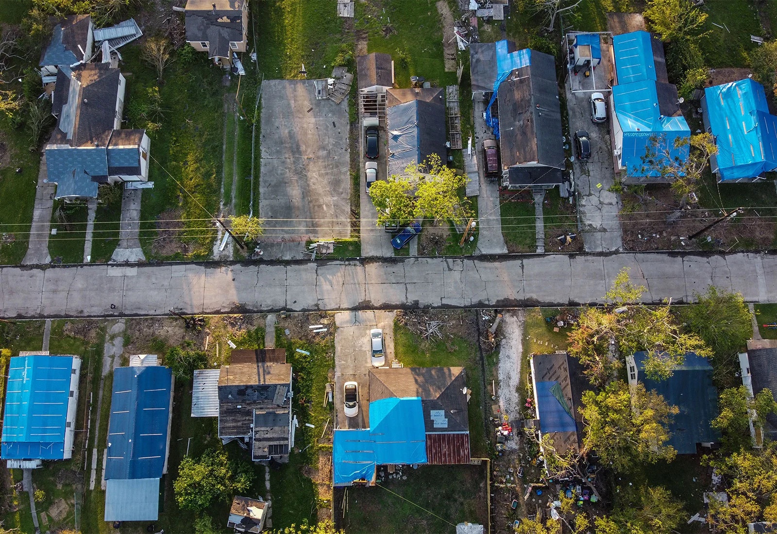
By integrating computer-based automation and artificial intelligence, damage can quickly be envisioned at both the macro and micro levels. Aerial damage assessment classifies structural damage at the parcel level, and analysis of street-level. This combines to ease the burden of individual assistance requests.

Learn More

We're reimagining vulnerability and community capacity.

Our recovery social vulnerability index incorporates several key community variables that expand the understanding of pre-disaster vulnerability. Our goal is to introduce a new way of thinking about capacity based on community organizations.

Learn More